April 21st – April 25th, 2023
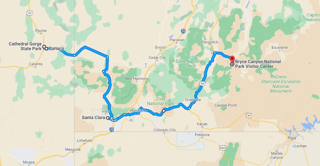
Santa Clara – Utah
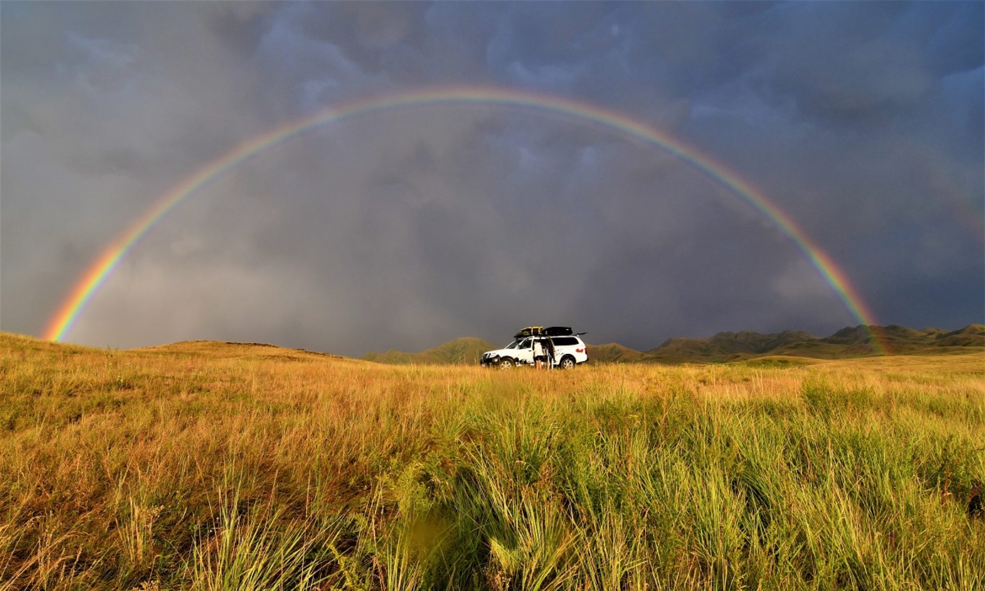
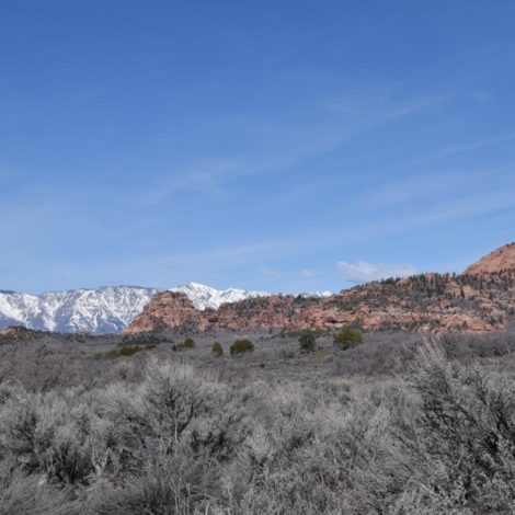
Arrived in Santa Clara yesterday afternoon, at last in southern Utah ! We were in the library car park when Teena approached us and asked questions about the roof tent as she was considering getting one. We got talking for a while and Teena ended up inviting us round to her house and allowing us to use her back yard to park for the night and we gratefully accepted. We had some nice discussions and enjoyed our time there. Thanks Teena for being trusting and so welcoming !
Zion Canyon
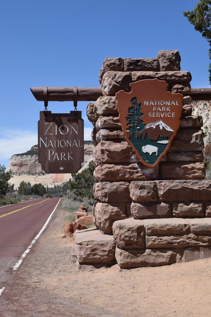
After getting information and maps at the Visitor Centre, we boarded the shuttle which runs through the Park and stops at the major points of interest/ trail heads. The shuttle is free and runs every ten minutes or so. This was introduced to avoid car congestion on the single road and damage to the fragile eco-systems due to car pollution.

Zion Canyon map
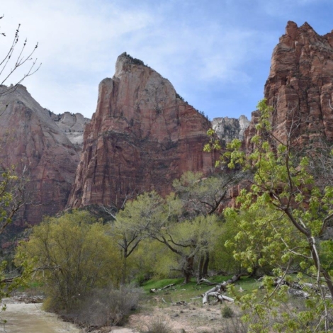
We only had a few hours the first day so we stopped at Court of the Patriarchs, so called because the 3 peaks were names by the Mormon pioneers after biblical Fathers: Abraham, Isaac and Jacob. A short trail leads to a view point.
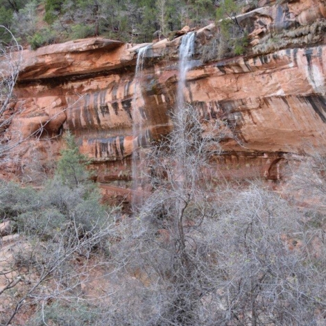
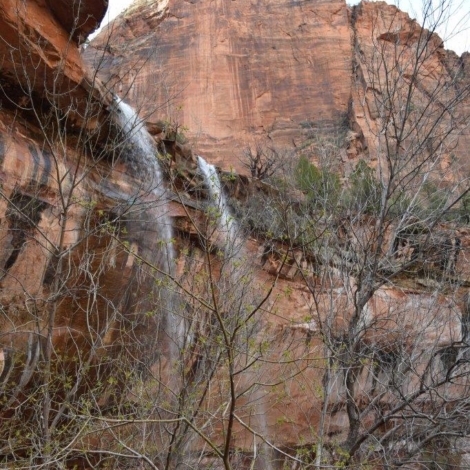
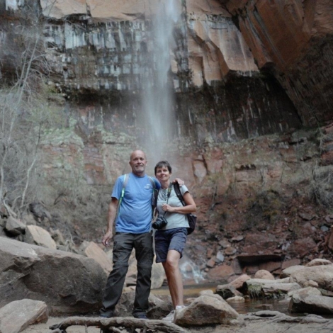
We then carried on to the next stop and did the hike leading to a succession of waterfalls called the Emerald Pools. The temperature was in the mid twenties and it was great to be able to enjoy the scenery in the warm sunshine.
[Click on picture to open gallery]
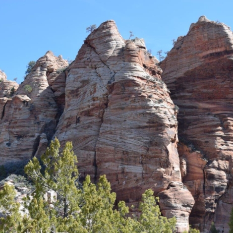
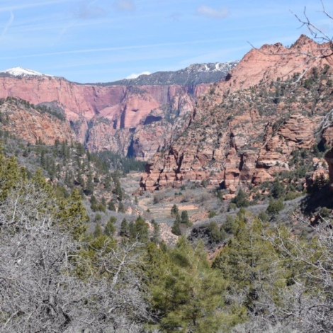
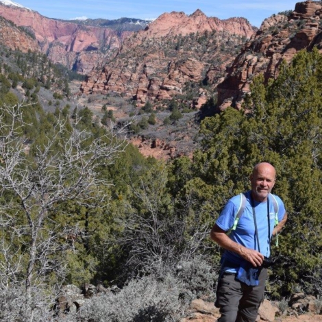
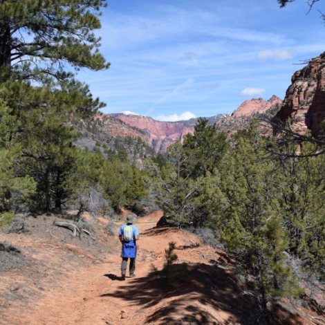
The next day, we did another trail in a different part of the park called Kolob Terrace. The road there was not cleared of snow all the way so we turned back and did the Hop Valley Trail. Most of the trail was in a sandy semi desert valley following a river and quite muddy in places. It was ok but not that interesting scenery.
[Click on picture to open gallery]
Angels Landing Hike– 5 miles
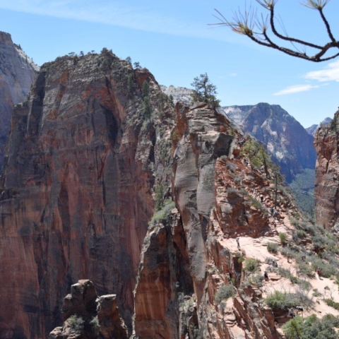
Angels Landing is a 1,488-foot (450m) tall rock formation. A renowned trail cut into solid rock in 1926 leads to the top of Angels Landing and provides panoramic 360 degrees views of Zion Canyon. To complete the last portion of the hike you need to enter a lottery as the number of places is limited and each entry is timed to avoid overcrowding. The last 1/2 mile or so of the hike is definitely not for the faint of heart. This strenuous final section of the hike features steep drop-offs of 800 to 1,000 feet(250 to 300 m) on either side as you ascend 500 feet(150m) along a narrow mountain ridge. Chains and carved steps provide a little support and security. At the top, you stand at 5,790 feet (1,765m) elevation.
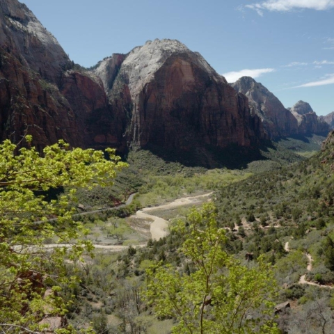
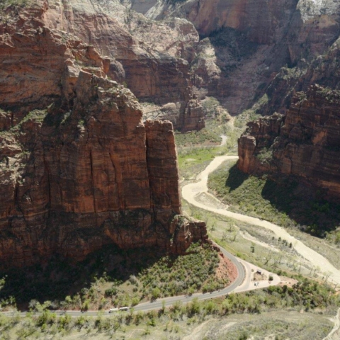
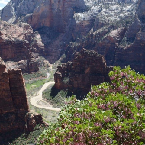
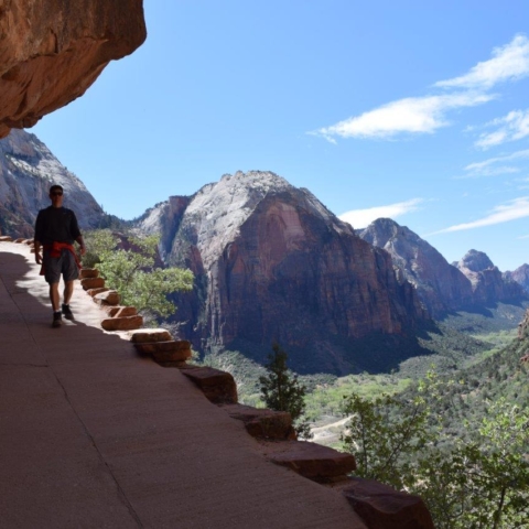
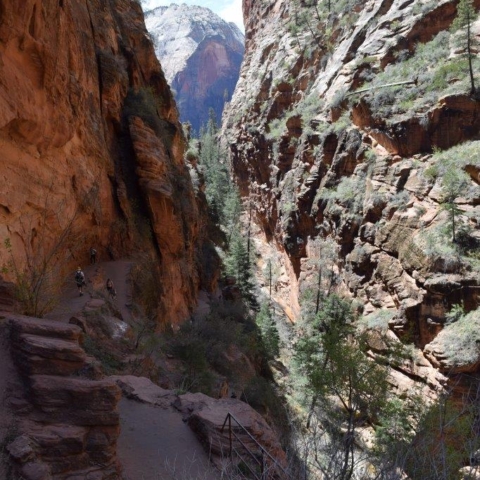
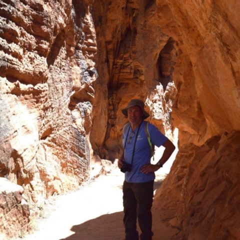
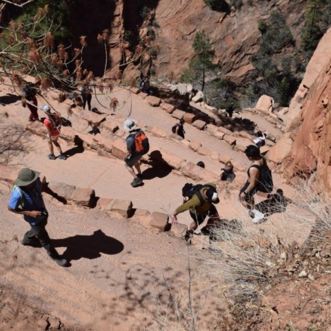
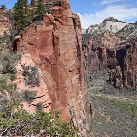
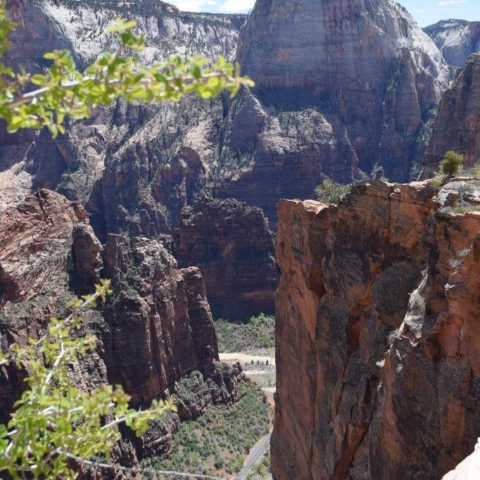
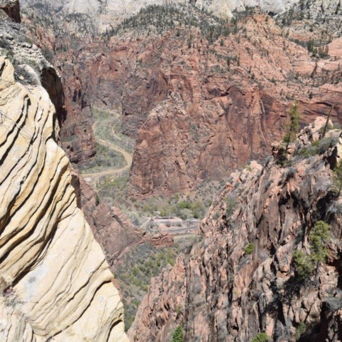
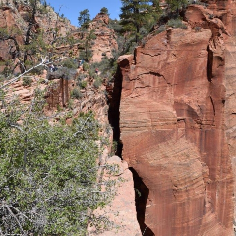
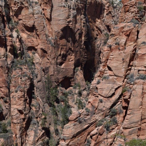
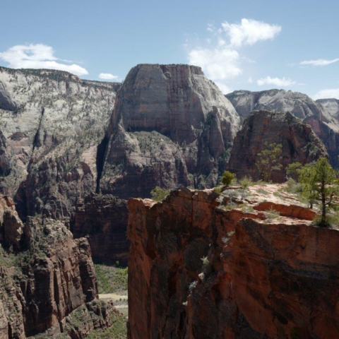
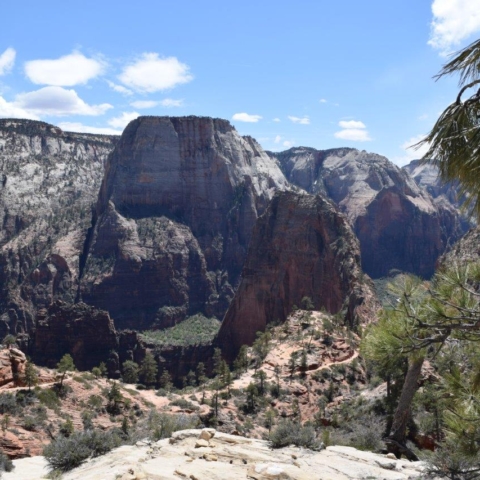
We were not successful in the lottery but decided to go on the hike up to Scout’s lookout which is as far as you can go without the required ticket! The first two miles of the Angels Landing hike follows the paved portion of the West Rim Trail, then you go through Refrigerator Canyon, the only part of the trail which is shaded, which even now in April is a welcome respite from the sun, by then you have ascended 1,000 feet( 300m) and you still have to tackle a series of 21 switchbacks known as ‘Walter’s Wiggles.” The wiggles are named for Zion National Park’s first superintendent, Walter Ruesch, who constructed the switchbacks in 1926. Walter’s Wiggles lead to Scout’s Lookout, where you get an impressive view of Zion Canyon below.
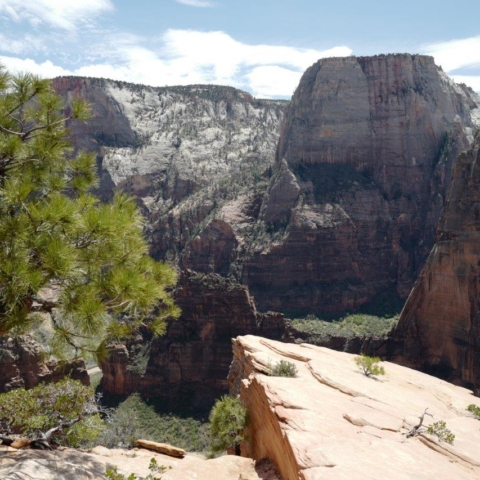
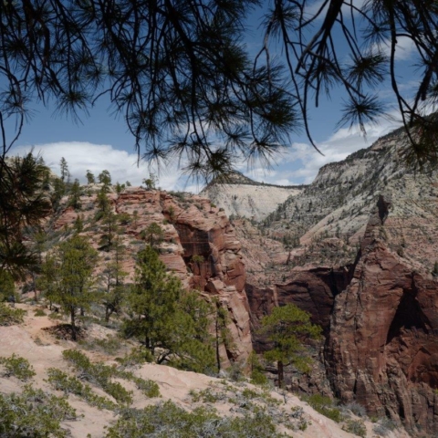
We paused and admired the view then decided to continue on the West Rim Trail for another couple of miles or so. we were rewarded with more fantastic views of Zion Canyon.
[Click on picture to open gallery]
We turned round and went back down to the shuttle stop to ride to the last stop: Temple of Sinawava. This is a natural amphitheater carved by the Virgin River. There are a couple of trails and the end of the paved Riverside Walk marks the beginning of The Narrows: Zion’s famous hike in the Virgin River.
The Narrows is the narrowest section of Zion Canyon. This gorge, with walls a thousand feet tall (300m) and the river sometimes just twenty to thirty feet (6 to 9m) wide, is one of the most popular areas of the park. This involves wading upstream, walking in the river and therefore is weather dependent. The hike is usually closed in spring as the flow of water is too high (due to snow-melt). Even in summer you have to check the weather forecast on the day as this narrow gorge can be deadly if you are caught out in flash floods during a storm!
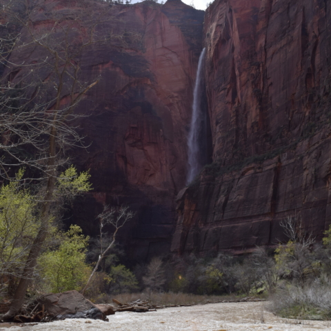
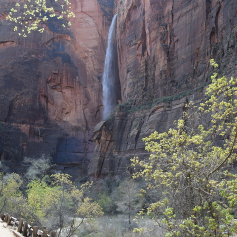
It was closed when we visited but we walked along the river and saw a waterfall.
[Click on picture to open gallery]
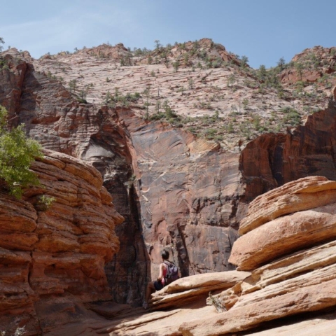
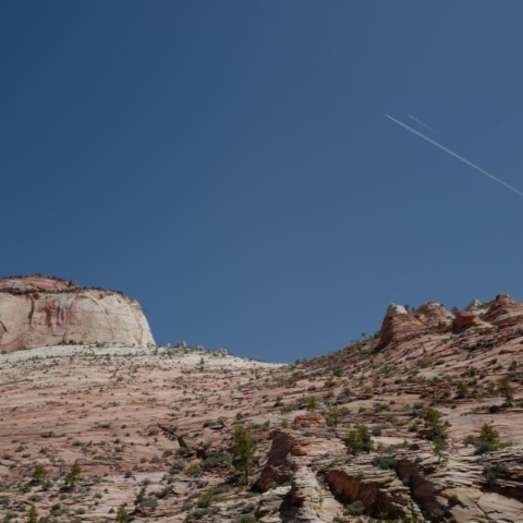
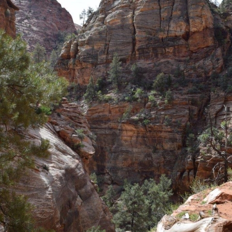
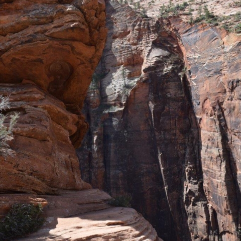
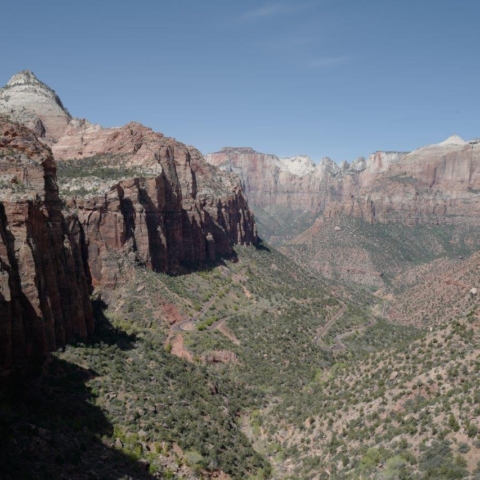
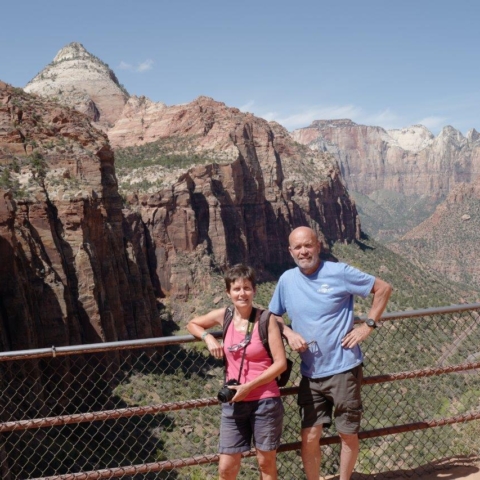
From Zion Canyon, the quickest way to Bryce Canyon is to follow road 9 which goes through Zion- Mount-Carmel tunnel (see on map above ). This is a scenic road and just after the tunnel there is a trail leading to a look out with a beautiful view of Zion Canyon.
[Click on picture to open gallery]
Bryce Canyon
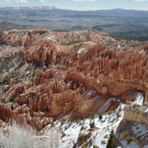
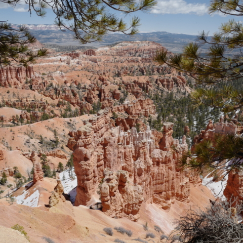
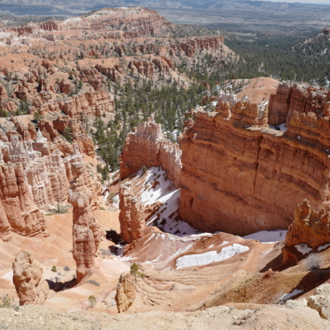
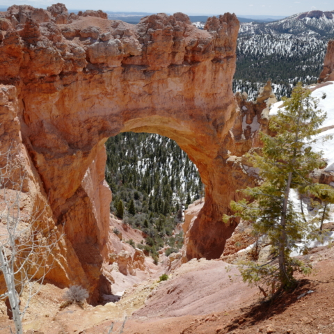
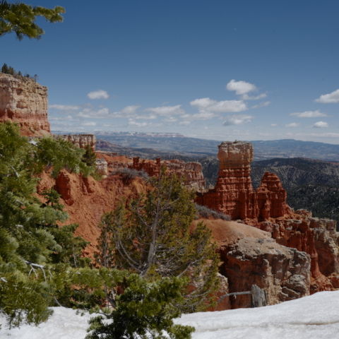
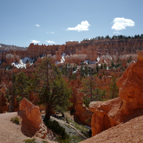
We had a storm last night and it is still very windy this morning. We drove to Bryce Canyon and had snow on the side of the road.Bryce Canyon elevation is averaging around 8,000 feet (2438 m) and reaching up to over 9,000 feet (2743 m) so it is not surprising that some areas of the park are still under heavy snow.
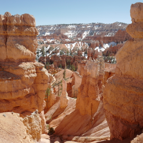
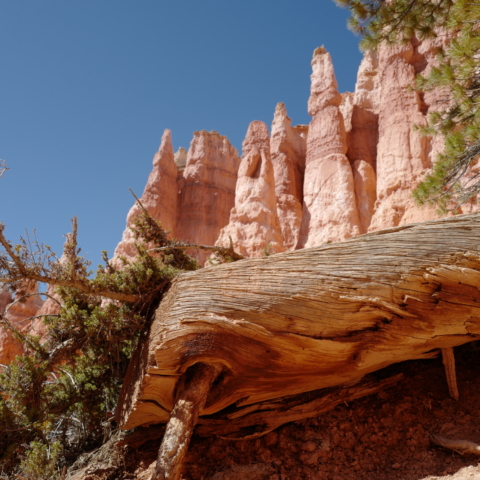
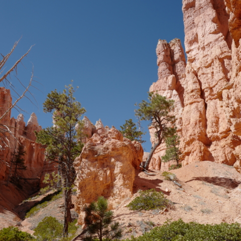
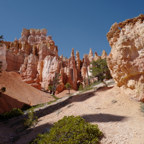
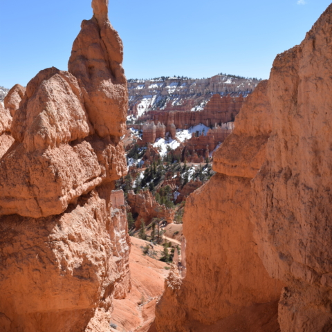
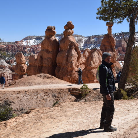
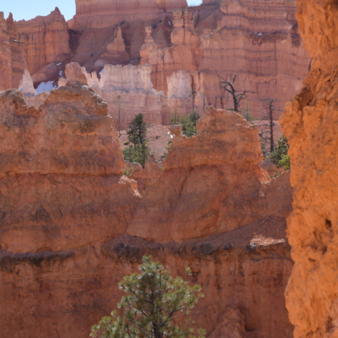
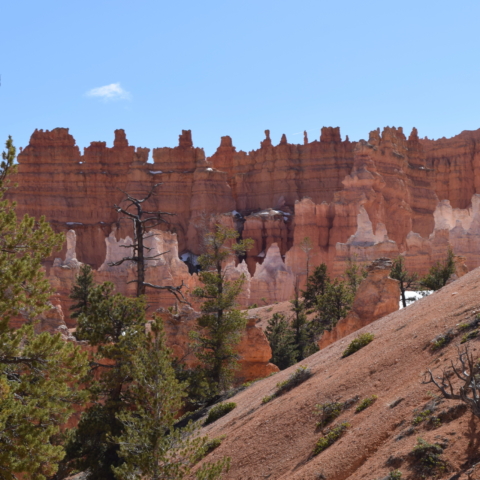
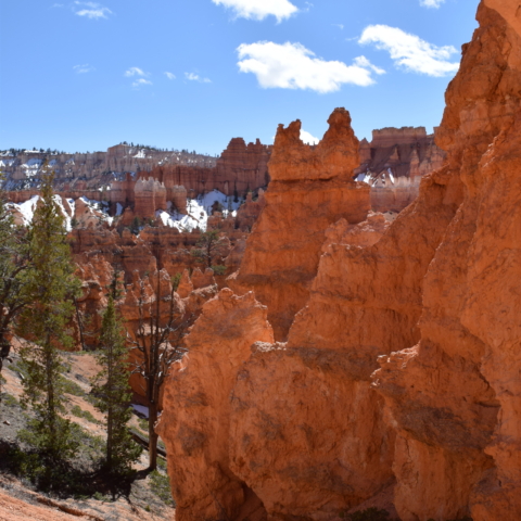
We drove as far as we could on the Scenic road then did the Queens Garden trail going down to the floor of the Amphitheater (a hoodoo-filled depression lying below the Rim Trail hiking path). The crimson-colored hoodoos, which are spire-shaped rock formations cover a vast area and the various look-outs on the scenic road give a good aerial view but it is also rewarding to go down and stand by the hoodoos and admire their twisted shape close-up. We were glad to have our woolly hats on, as the wind was really cold and so strong that it was pushing you around!
[Click on picture to open gallery]
