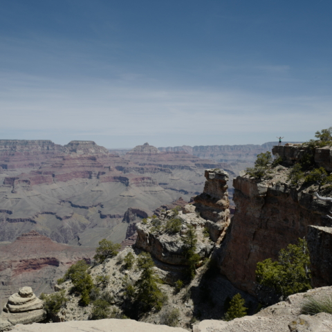
April 25th – April 28, 2023
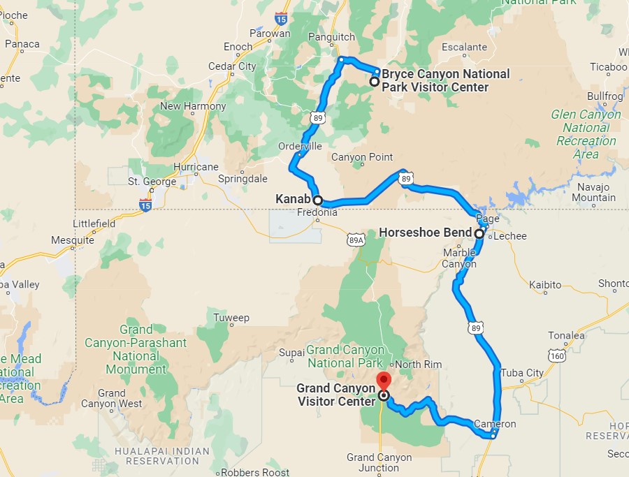
On the way to the Grand Canyon, we stopped at Horseshoe Bend State Park. We were in Arizona again !
Horseshoe Bend SP is a horseshoe-shaped incised meander of the Colorado River located near the town of Page. There is a short hike to get to it from the car park and the view is definitely worth the effort.

Horseshoe Bend – Arizona
GRAND CANYON
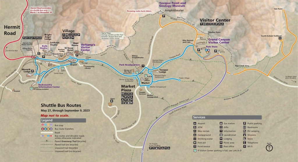
Grand Canyon – South Rim Shuttle routes
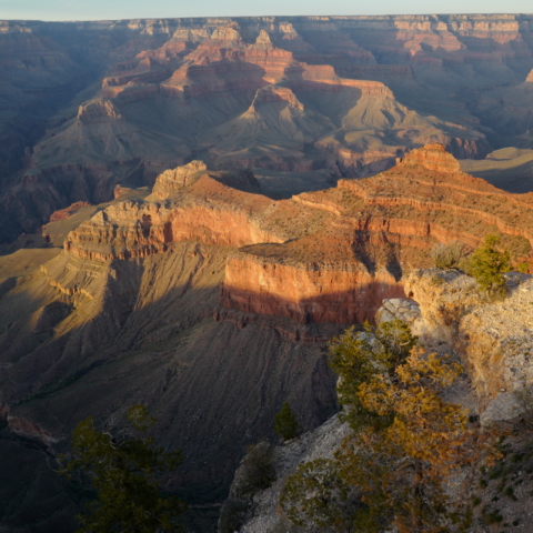
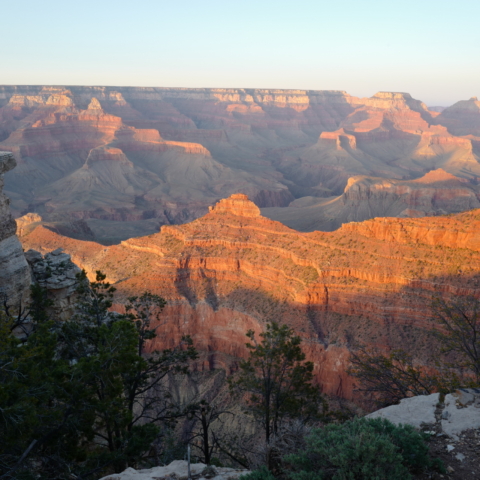
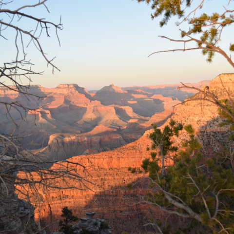
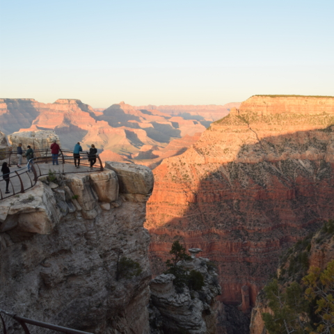
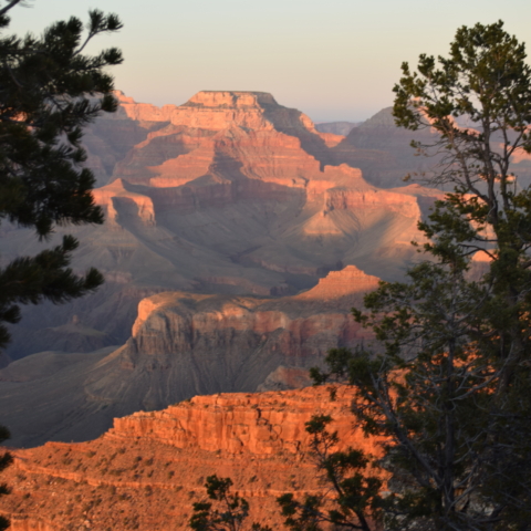
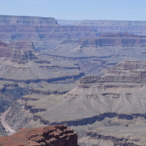
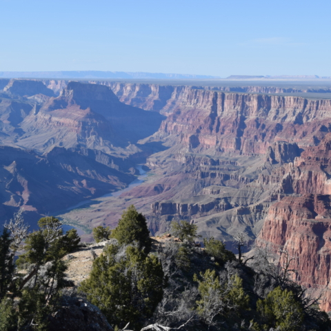
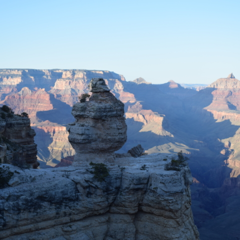
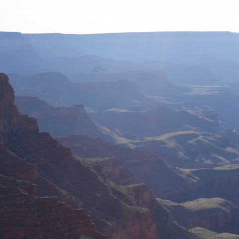
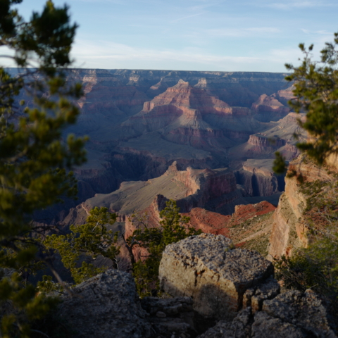
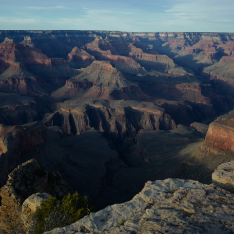
We entered the Grand Canyon National Park at the Eastern entrance and drove on the Desert View Drive (22.5 miles – 36km) which has a number of view points. When we got to the Visitor Centre, it was late afternoon so we parked and walked to Mather Point, the most popular viewpoint on the South Rim of the Grand Canyon especially at sunset.
[Click on picture to open gallery]
The next day we took the Red Route shuttle or Hermit’s Road (map above). This is the only one where access is restricted and you have to use the free shuttle. The shuttles are frequent and you never have to wait for long. They stop at view points and trail heads along each route and are an easy way to travel to all the major points.
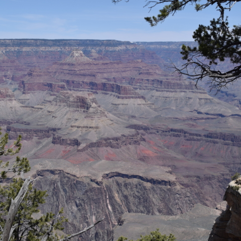
Hermit’s Route follows the Rim Trail and we walked some of the distance between stops . Later in the day we took the same shuttle again and stopped at Hopi Point, another vantage point to admire the sunset. This is further west than Mather Point and has unobstructed canyon vistas. It is a popular stop for sunrise & sunset viewing but we were a bit disappointed as it was not as colourful because some light clouds appeared and blocked the setting sun.
[Click on picture to open gallery]
South Kaibab Trail
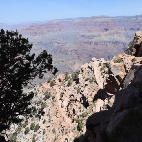
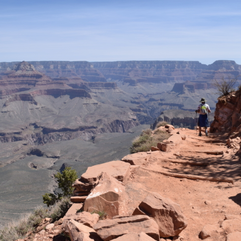
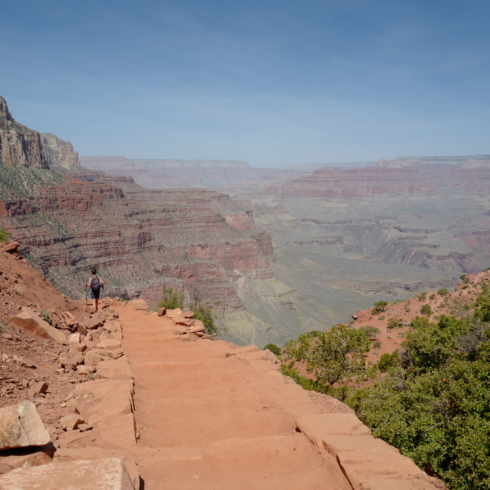
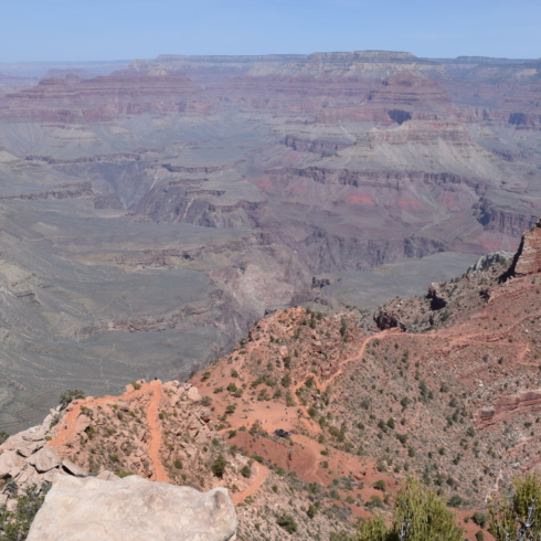
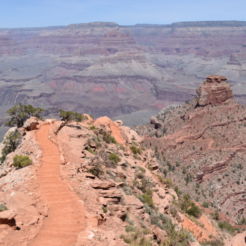
For our last day at the Grand Canyon, we planned to do part of the South Kaibab Trail which goes down to the floor of the Canyon.
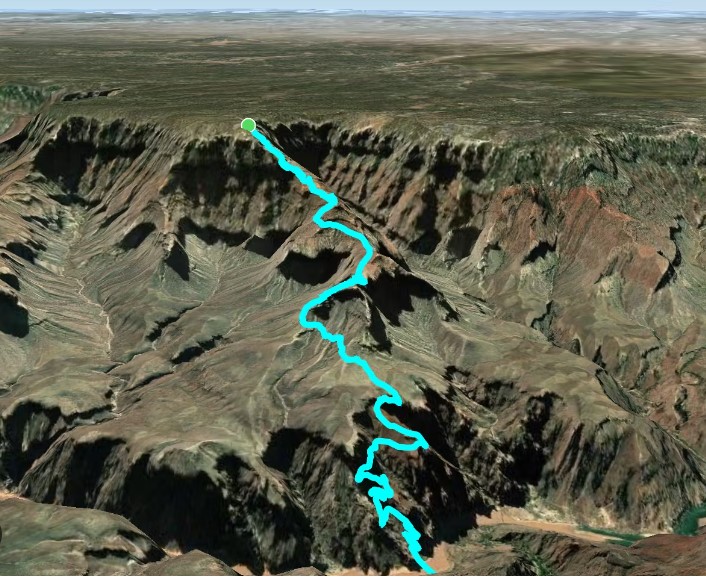
The total length of the hike, one way, is 11 km ( 6.7 miles). It is a strenuous hike: the steepness of the trail is very misleading on the way down. You start at 2,200 m and finish at 755m !! quite a drop … It takes twice as long to hike up as it takes to hike down and for that reason it is recommended to complete the hike over two days, spending a night at a primitive campground at the bottom of the Canyon.
You can choose a few points on the way down as your final destination and turn this hike into a day hike. As you can see from the extract from the Park leaflet below, there are numerous warnings about not attempting the whole hike in one day, especially in summer…
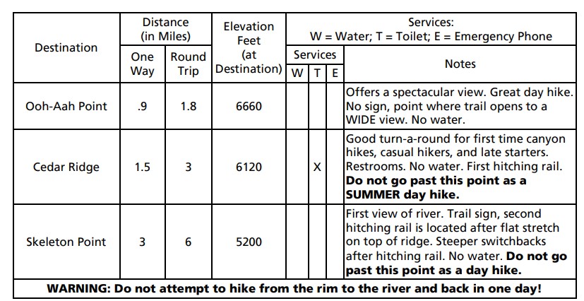
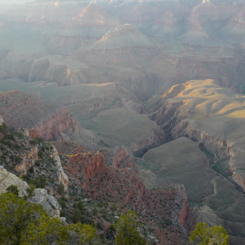
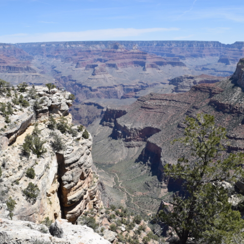
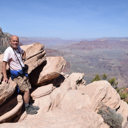
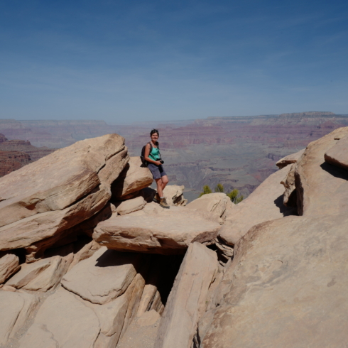
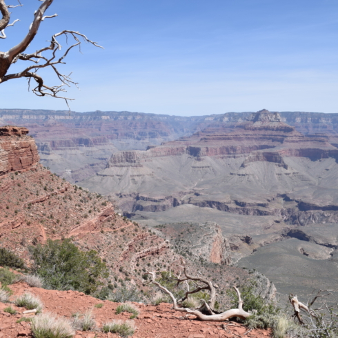
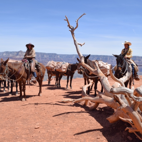
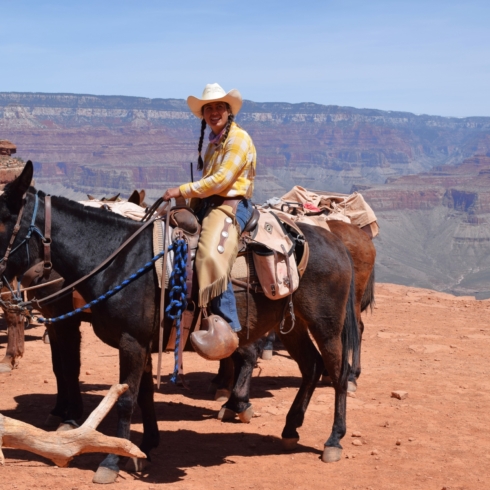
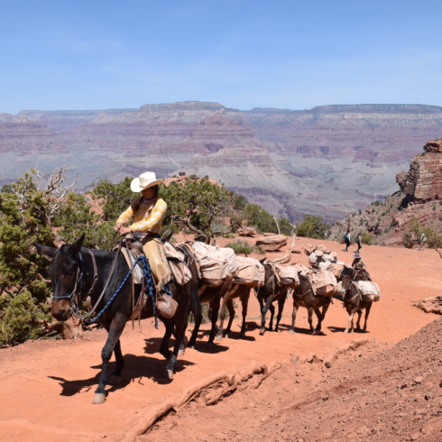
We went as far as Cedar Ridge but felt we could have gone as far as Skeleton Point. The views on the way down were fantastic though and that makes it up for the slight disappointment of not having gone further!
[Click on picture to open gallery]
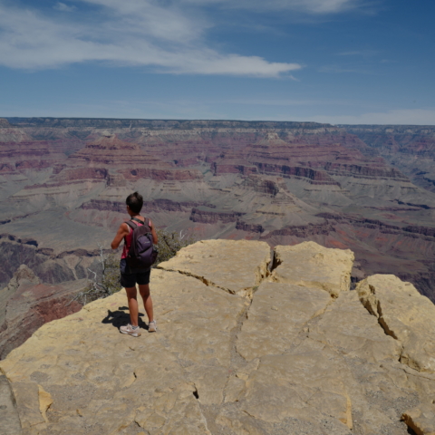
We finished the day by jumping on the shuttle to Yaki Point and walk on the South Rim Trail for a couple of miles.
[Click on picture to open gallery]
