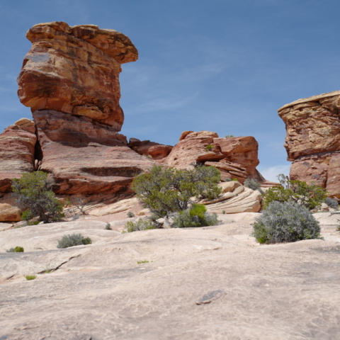
May 1st – May 2nd, 2023

Our next destination was Canyonlands National Park. The Park covers a vast area divided by rivers into four districts: Island in the Sky, The Needles, The Maze, and the rivers themselves. It has countless canyons and fantastically formed buttes carved by the Colorado River and its tributaries.
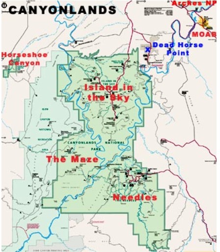
The Maze is the least accessible district of Canyonlands. Due to the district’s remoteness and the difficulty of roads and trails, travel to the Maze requires more time. Visitors must be prepared for self-sufficiency and have the proper equipment or gear for self-rescue.
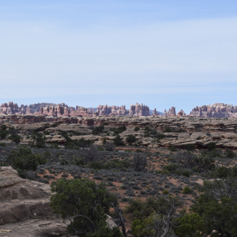
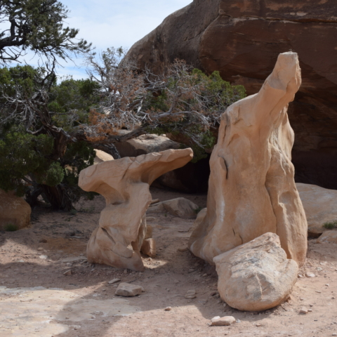
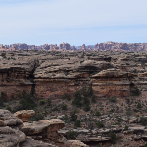
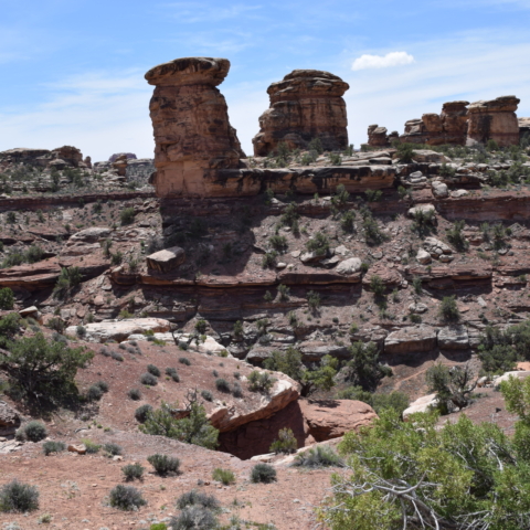
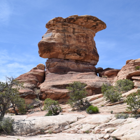
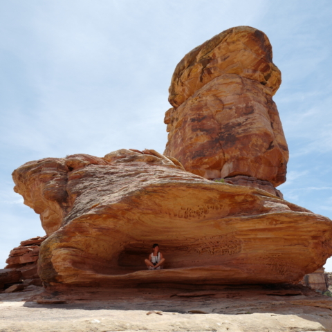
The Needles forms the southeast corner of Canyonlands and was named for the colourful spires of Cedar Mesa Sandstone that dominate the area.
The Island in the Sky mesa rests on sheer sandstone cliffs over 1,000 feet (304 m) above the surrounding terrain. Every overlook offers a different perspective on Canyonlands’ spectacular landscape.
Coming from Blanding, The Needles was the District we chose to visit. It is still quite a way to get to the visitor centre ( 35 miles/ 56km) from the turn off on road 191 ! We then took the scenic drive and stopped at several viewpoints and did some short hikes.
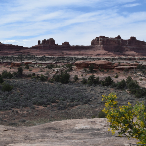
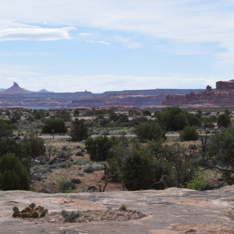
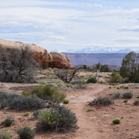
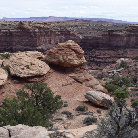
Pothole Point trail takes you around slickrock (outcroppings of smooth, weathered sandstone.) dimpled with pockets called potholes which fill with water after rain.
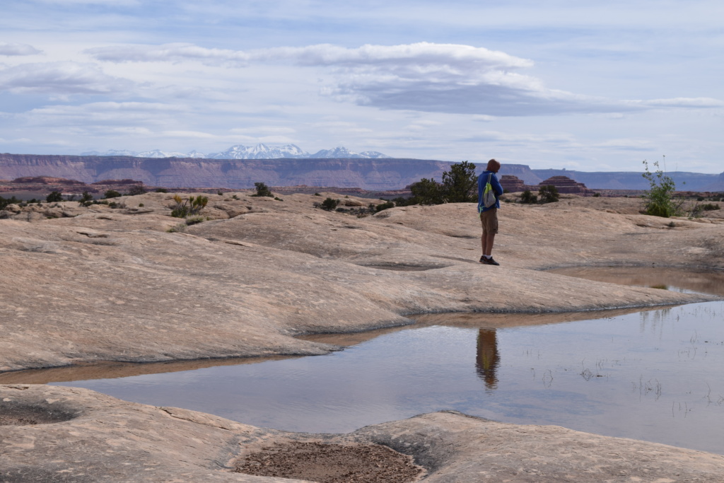
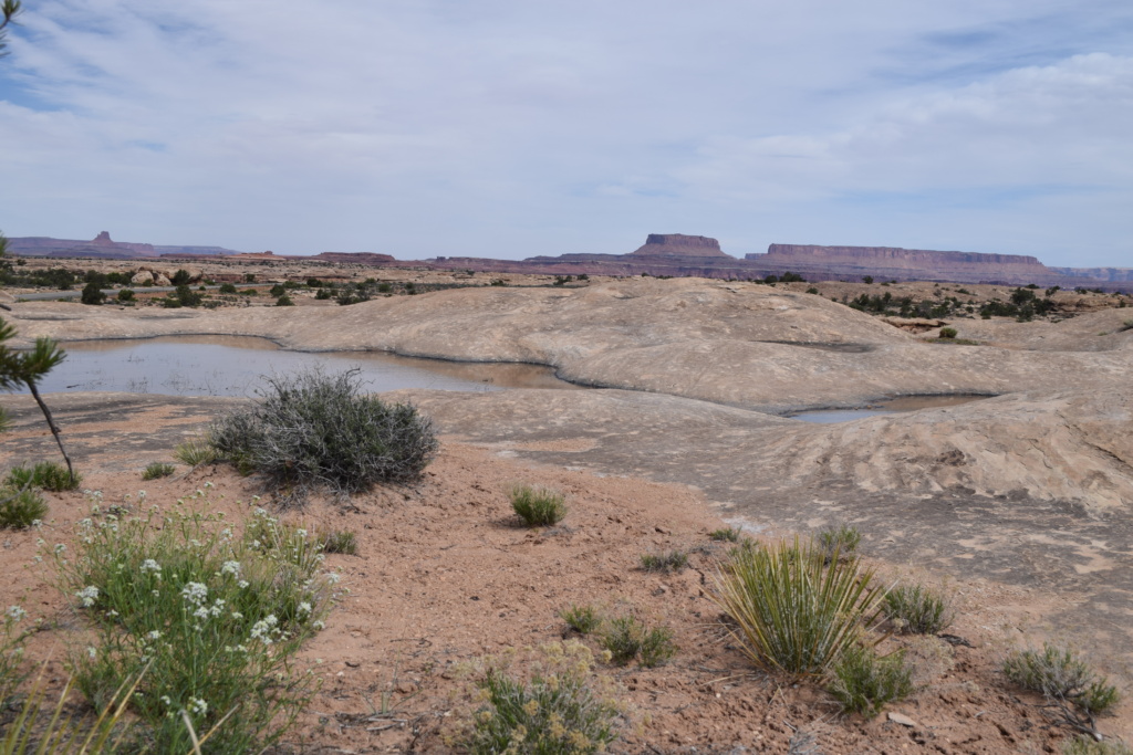
You also get nice views of the Needles in the distance
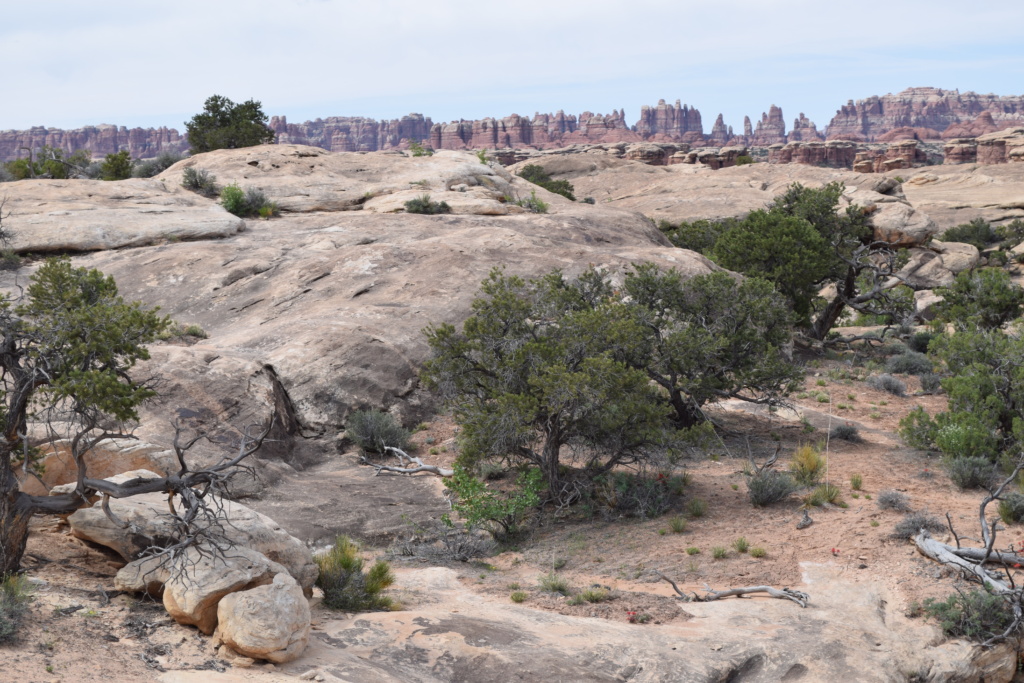
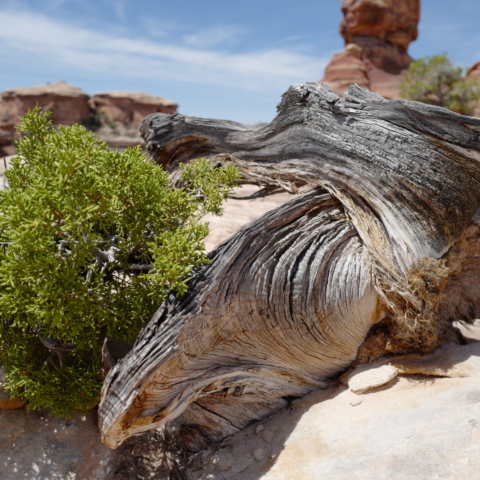
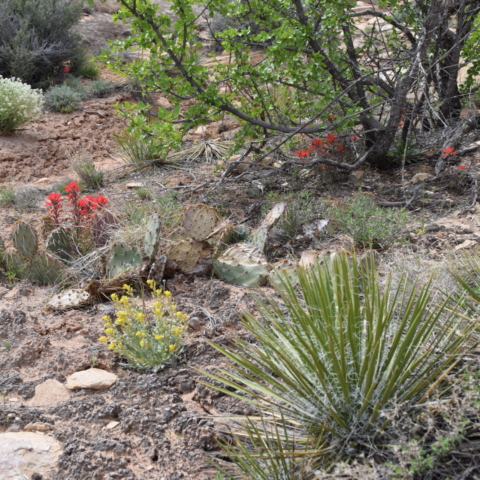
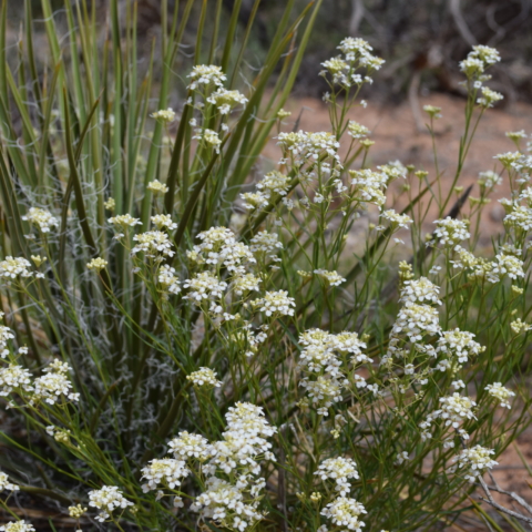
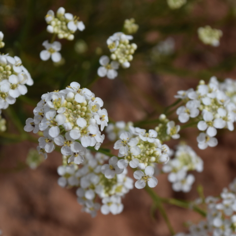
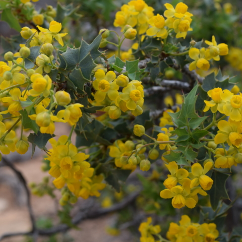
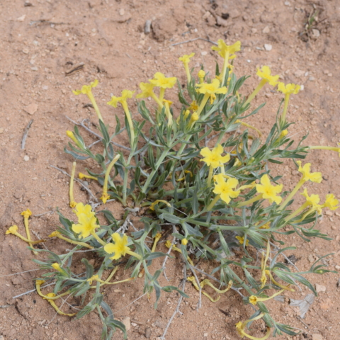
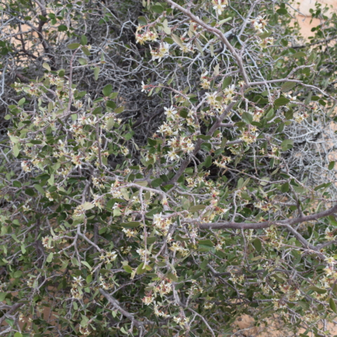
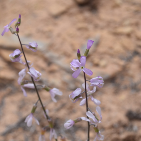
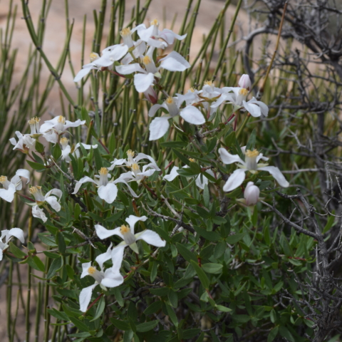
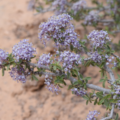
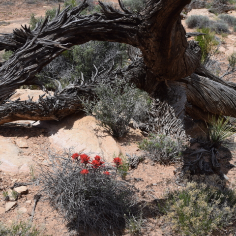
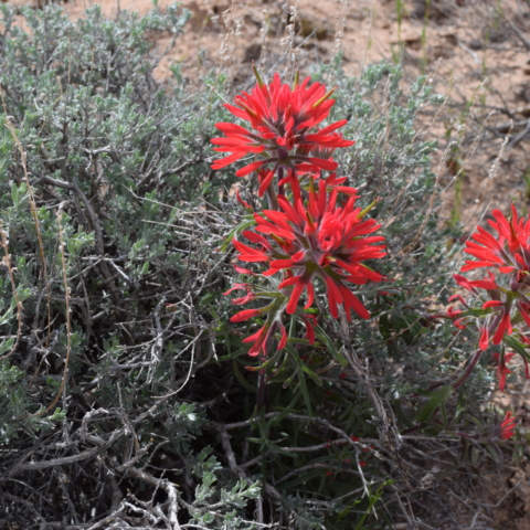
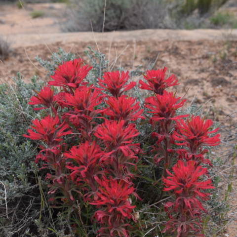
Slickrock trail climbs slightly to the top of a treeless sandstone plateau, has a series of viewpoints of squat pinnacles and low cliffs and across to the higher, reddish peaks of the Needles. We were surprised by the variety and abundance of wild flowers on this trail growing in shallow hollows where sandy soil accumulates.
[Click on picture to open gallery]
The bumpy soil along the trails does not look like anything could grow there but in fact it is alive!… but very fragile and you are asked to stay on the trails. Biological soil crusts are living communities of cyanobacteria, mosses, algae, lichens, and fungi. They create a sort of web which prevents erosion, stores moisture, and provides critical nutrients for plants.
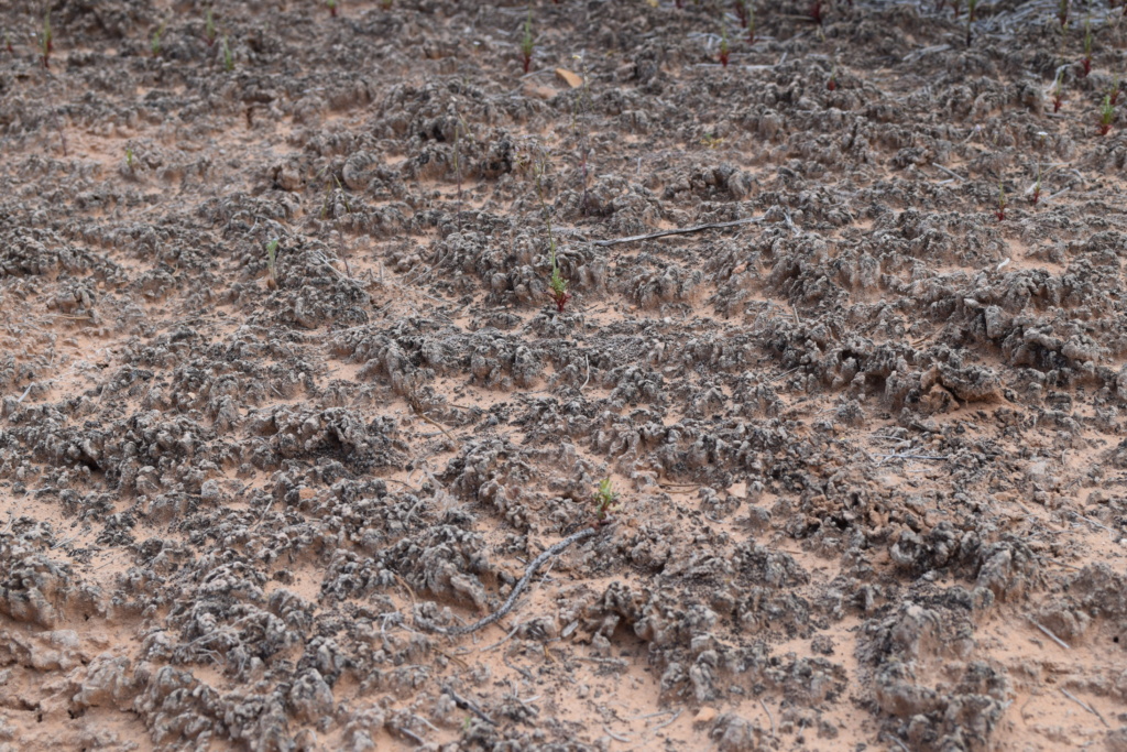
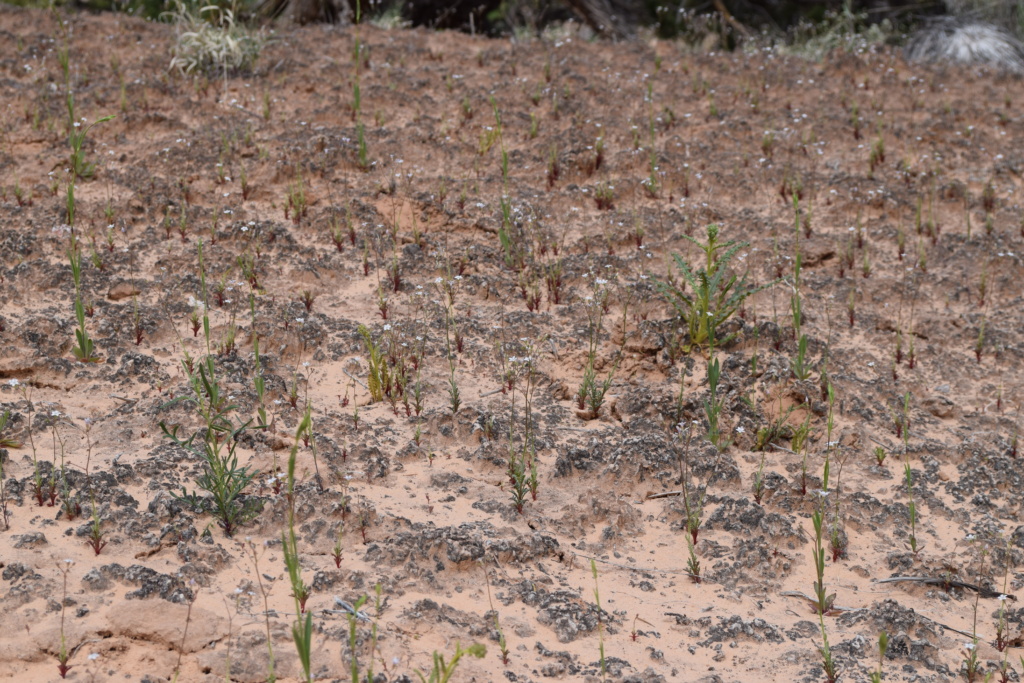
It only takes a bit of water and soon plants appear.
Flower picture show!!
[Click on picture to open gallery]
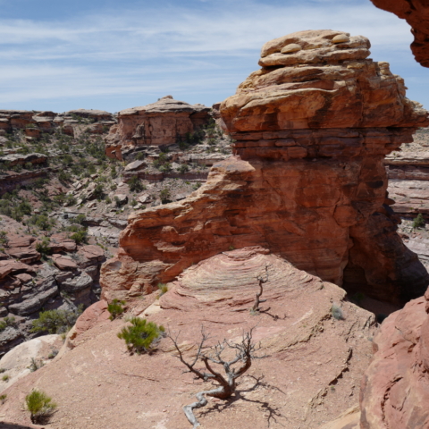
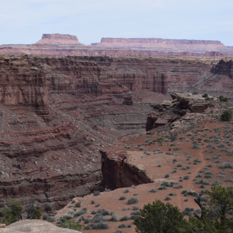
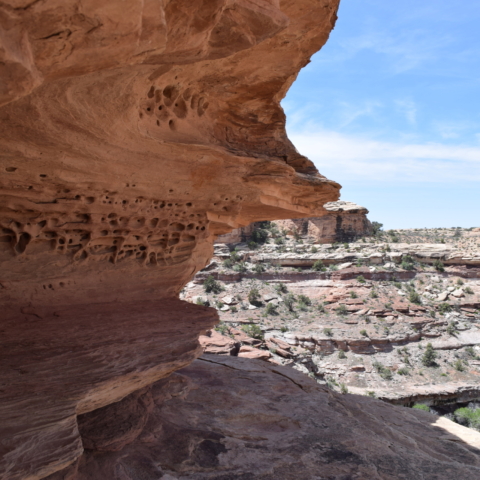
Big Spring Canyon Overlook, at the end of the scenic drive offers unique views on rock spires and multi-colored sandstone benches lining the bend in the canyon.
[Click on picture to open gallery]
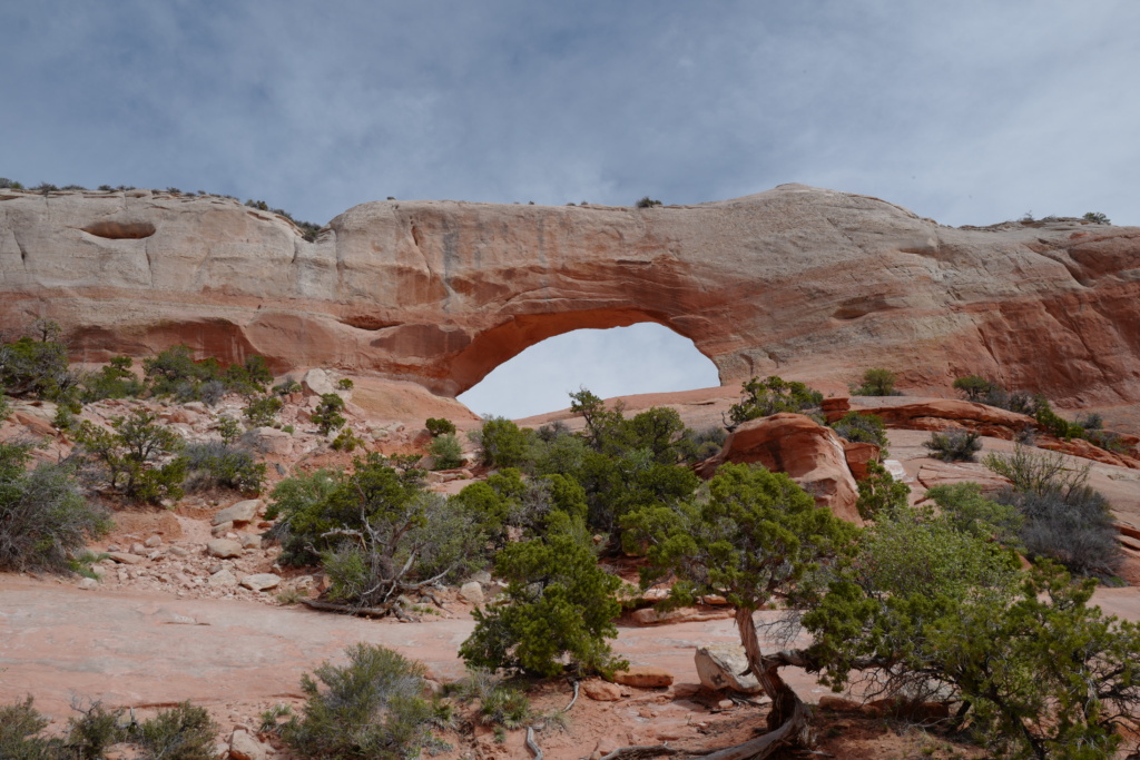
On the way to Dewey
We then took the Upper Colorado Scenic Byway (Hwy 128) which offers great scenery along the Colorado River following a canyon with towering mesas on each side of the river. We stopped for the night at Dewey. This town was originally named Kingsferry as a ferry was operating across the Colorado until the Dewey Bridge was constructed in 1916. This is now a ghost town, and only the remains of a wooden suspension bridge remains.
