Wednesday 12th June, 2019
We were at last close to what is considered the start of the Pamir Highway, when starting from the west: Khorog, the last significant town with shops, banks and a bustling bazaar before the long and deserted road to Murghab which goes through a high plateau at 4000m for 320 kms.
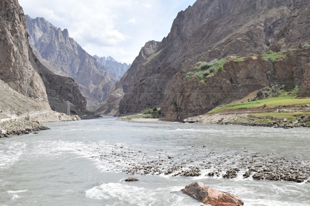
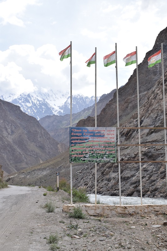
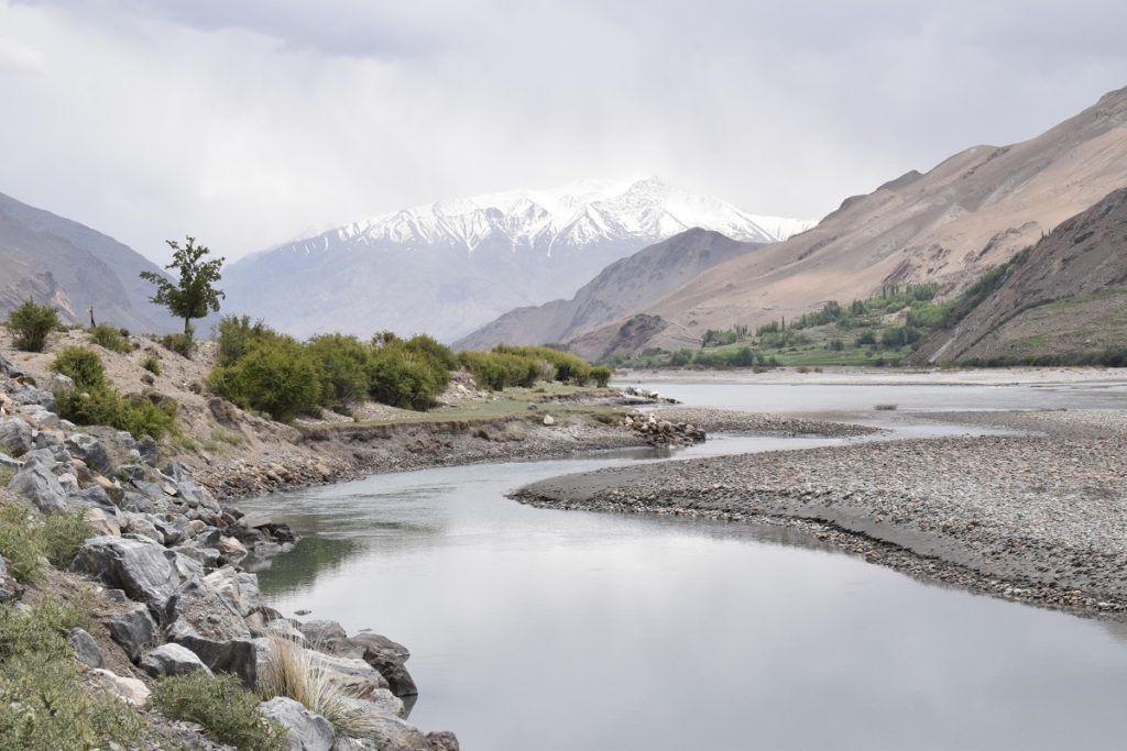
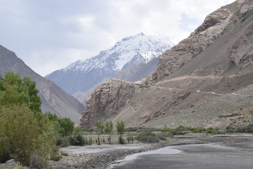
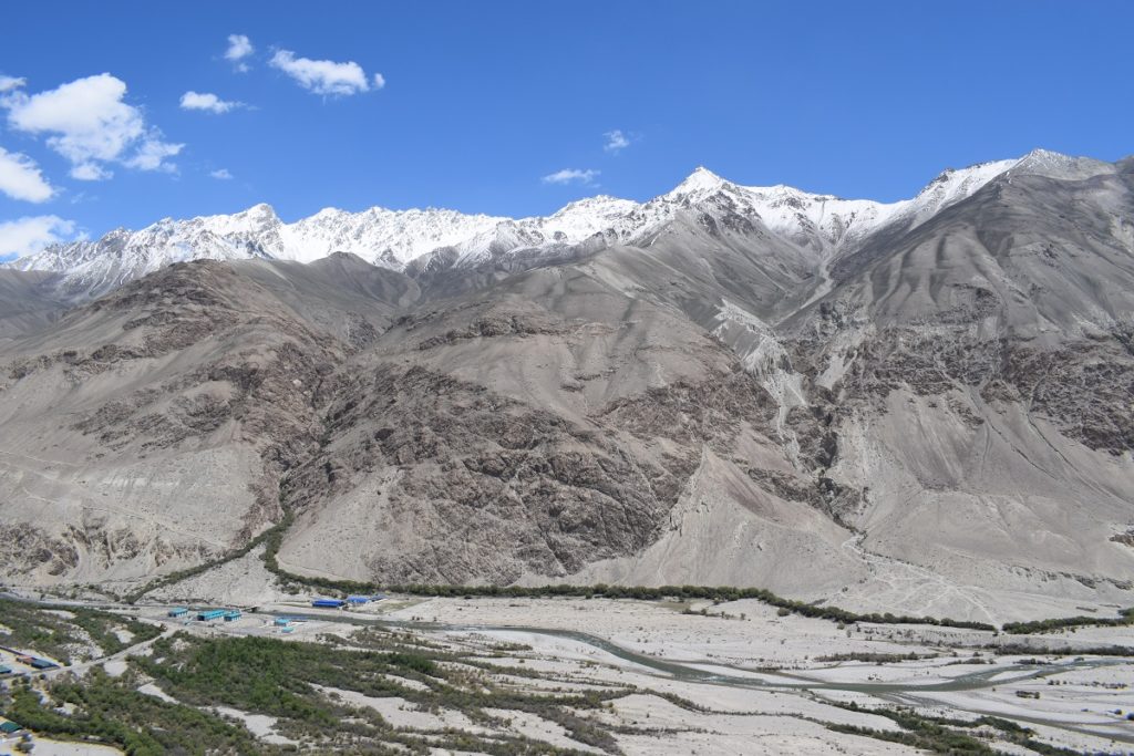
The road follows the Panj river which acts as the border with Afghanistan. At times we were very close to the other side in narrow gorges and you could almost talk to people on the other bank of the river. The scenery is arid and rocky punctuated by small oasis of green when a village has settled and cultivated what ground is available. On the Afghan side, we saw typical mud houses, sheperds leading their herds, but very little traffic, which was in contrast to the Tadjik side where we came across numerous convoys of large lorries ( mainly chinese) using the only access road between China and Central Asia.
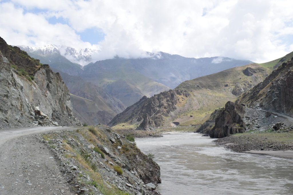
River Panj – On the left Tadjikistan, on the right Afghanistan 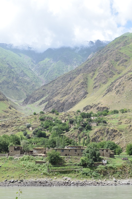
Mud houses, Afghanistan 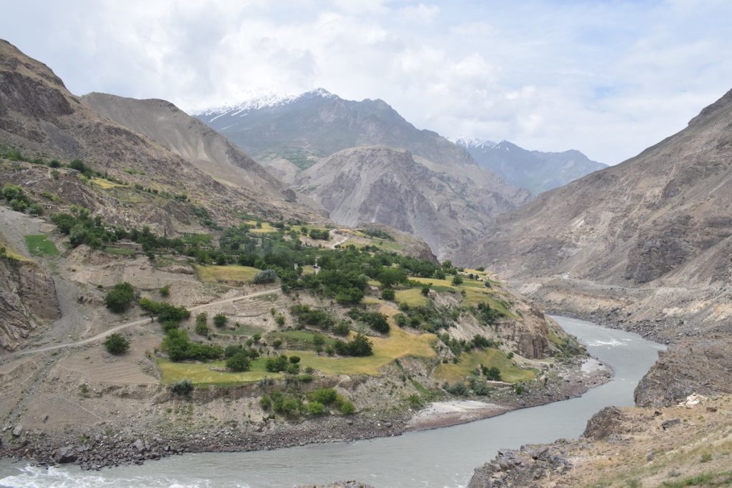
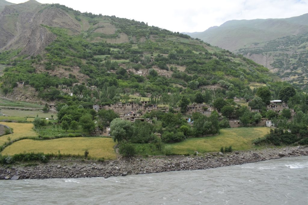
Seventy kilometers before Khorog we noticed a clicking noise coming from the front wheel on the driver’s side . We stopped in a small village but the local mechanics could not help. He determined that it was the “stabilisator”, part of the suspension, which was broken but our only chance to find some spare was to go to Khorog. The part is not vital and we could drive. We drove on, but as it was getting late, we decided to stop for the night and camped in a field near houses. One of the local brought us a jug of milk fresh from the cow and still warm!
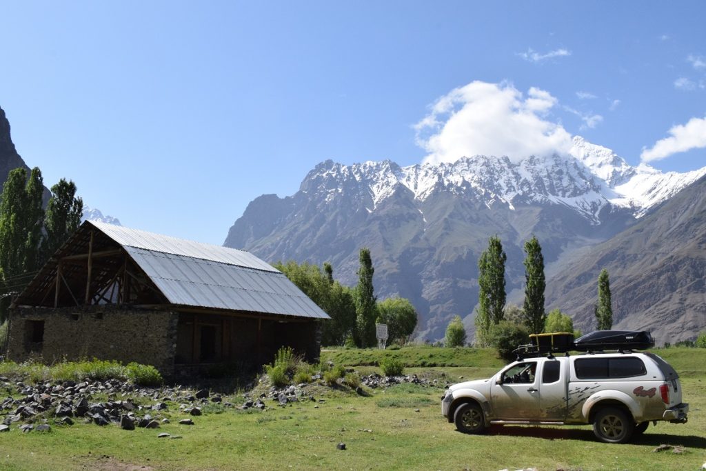
Thursday 13th and Friday 14th June, 2019 – KHOROG
Arrived in Khorog and went straight to a car repair, but they did not have the spare part we needed. They phoned around and someone brought a Nissan “stabilisator” but it was for a different model of car and was too big. In the end, after offering us to share their lunch which had just been brought to the workshop, one of the mechanics thought we could get someting similar in town so I went with him. There, we found one which could work but had to be altered slighly ( was too short). I bought 2 ( only 4 dollars) and after some welding in the workshop, they fitted it, checked the front breaks and we were good to go… We decided to have a couple of days rest in Khorog .
On the way to Khorog:
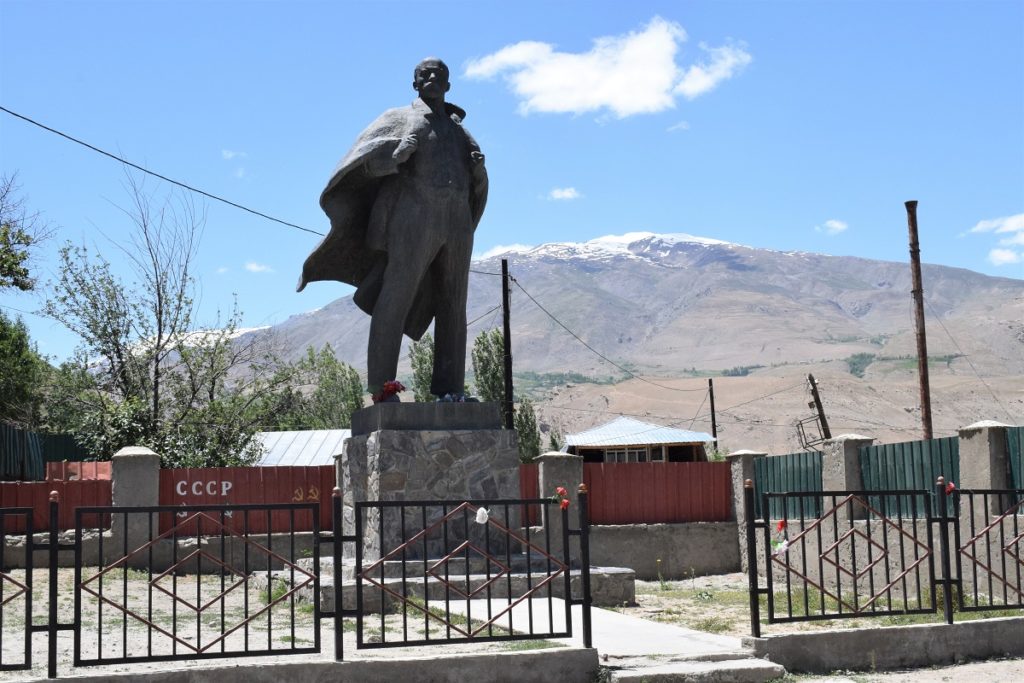
Saturday 15th June, 2019 – ISHKASHIM
The main reason we wanted to go through Ishkashim ( further south than the Pamir Highway) was that a Sunday Market is held there over the bridge across the river on the Afghan side and you can go there without a visa for a couple of hours ( leaving your passport at the checkpoint). Alas, the tourist information in Khorog told us that it was no longer happening. They indicated that there was another “Afghan market” in Khorog on Saturdays, but as we found out, that also had been cancelled on that day as the Tadjik President was visiting the region and it was deemed too sensitive….
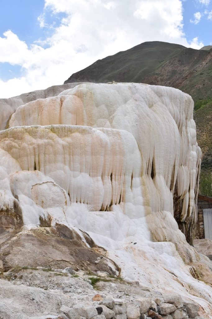
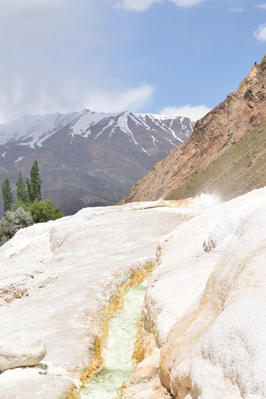
Disappointed we took the road to Ishkashim. We stopped on the way at one of the best Hot Springs in Tadjikistan : Garm Shasma. We arrived when it was a ” men only” session. ( you are supposed to go in completely naked). Paul could go to the open air pool and see the main spring but I had to stay close to the covered part where some of the rock formation created by the sulphur deposits could be seen. It ressembles Pamukkale in Turkey but in a much smaller scale. We could touch the water and it was almost too hot to keep your hand in.
Garm Shasma Hot Springs:
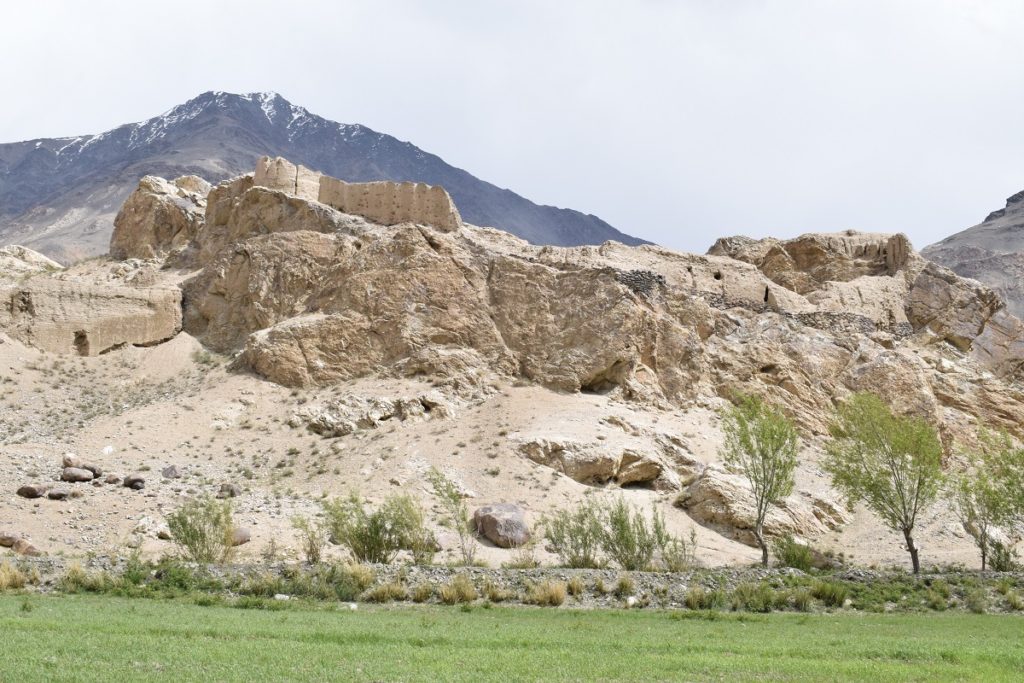
Khakha Fortress
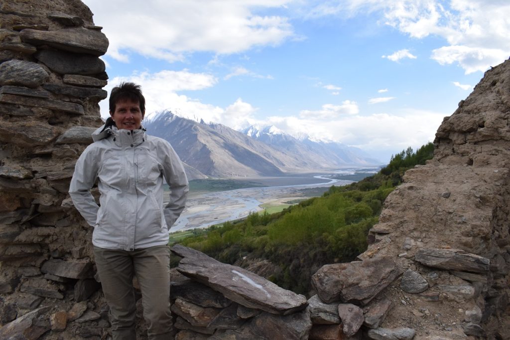
The road after Ishkashim, follows the river and goes into what is known as the Wakhan Corridor. This is a narrow strip of Afghan territory that extends to China and separates Tadjikistan from Pakistan.(350km long but only 13 to 65 km wide). This was created at the conclusion of the Great Game between the British and the Russians at the end of the 19th century and served as a buffer zone between the two Empires. We were on the Tadjik side of the river and had some nice views to the Hindu Kush.
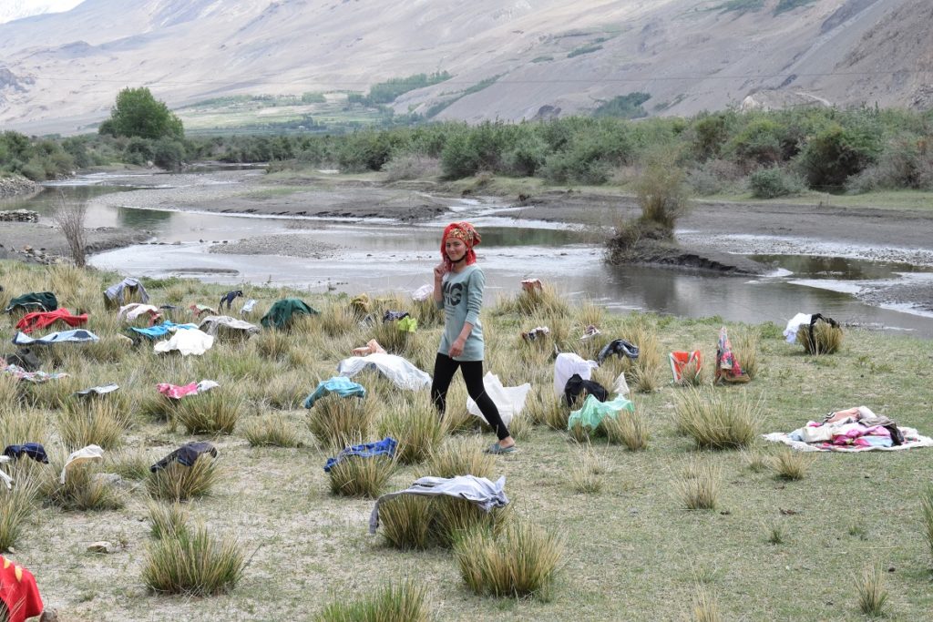
The corridor has some contrasting scenery with rugged mountains and a series of small villages surrounded by cultivated plots. it has always been of strategic importance and there are ruins of fortresses and even an early bhuddist stupa dating from the 4th century in Vrang.(some historians think it could be some zoroastrian temple)
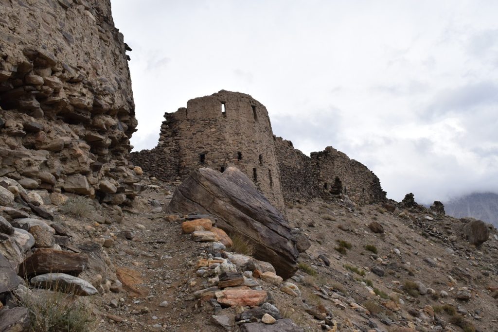
We stopped at the Khakha Fortress. Built in the 4th century as part of the fortification of the valley, it had 56 towers and though partly destroyed by time and winds you can still get an understanding of the size and military might it must have had.
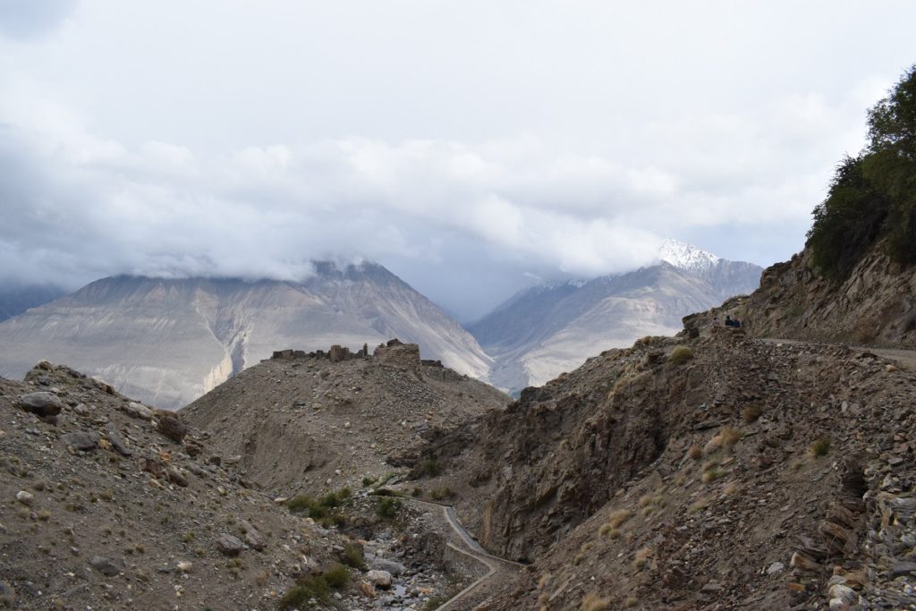
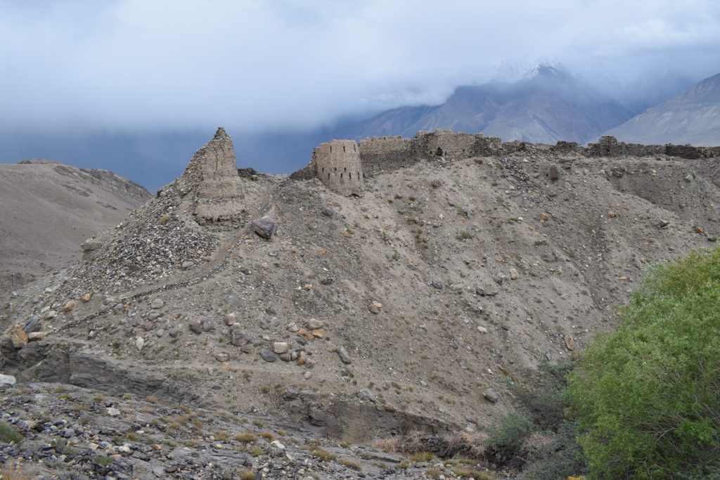
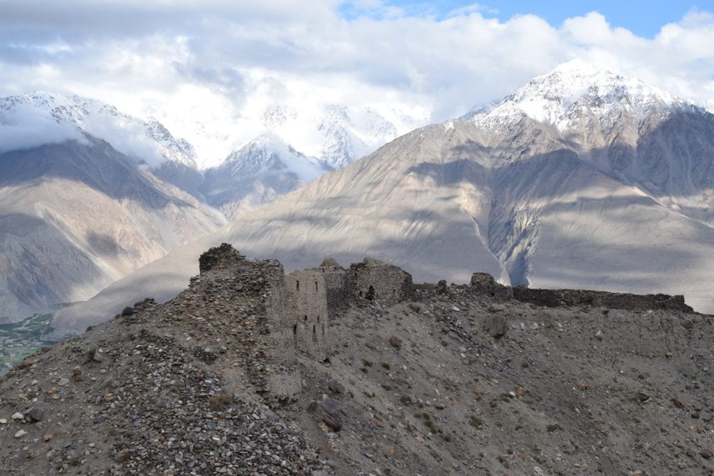
Further along , we took a side road leading up the mountain to a rocky outcrop where the Yamchun Fort stands . The fort was built in the 3rd century BC. It stands at 3000m and was well protected and difficult to assault as 2 sides have deep river gorges and the third side with a deep slope, where a succession of walls and towers allowed to retreat further upwards if needed. At its peak, the fortress covered an area of 75 hectares. Today only the upper bastion has survived but the outline of the walls gives a good understanding of the size of the fort.
Yamchun Fortress
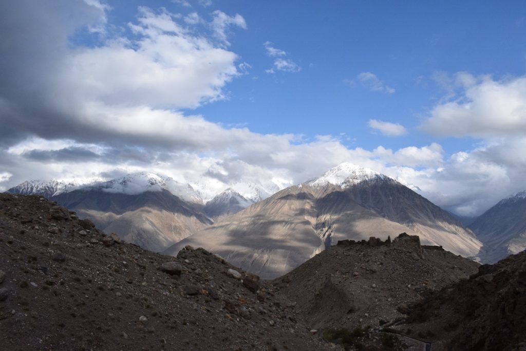
The weather which had been overcast started to clear and we could see some of the snow capped peaks towering at more than 5000m.
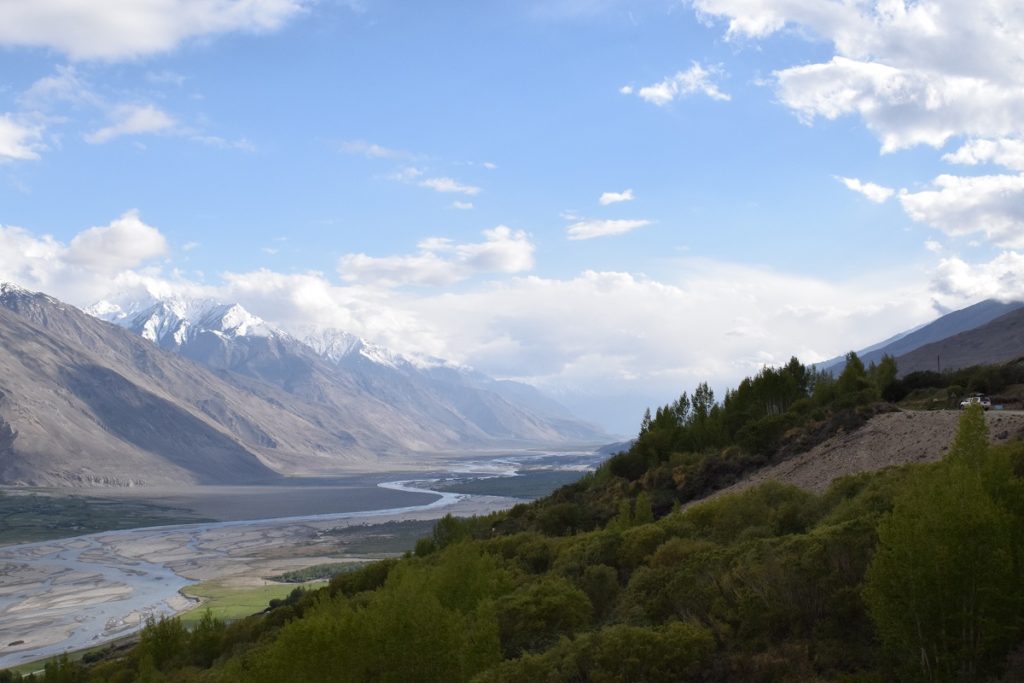
Sunday 16th June, 2019 – LANGAR
Drove the few kilometers remaining to the village of Langar.
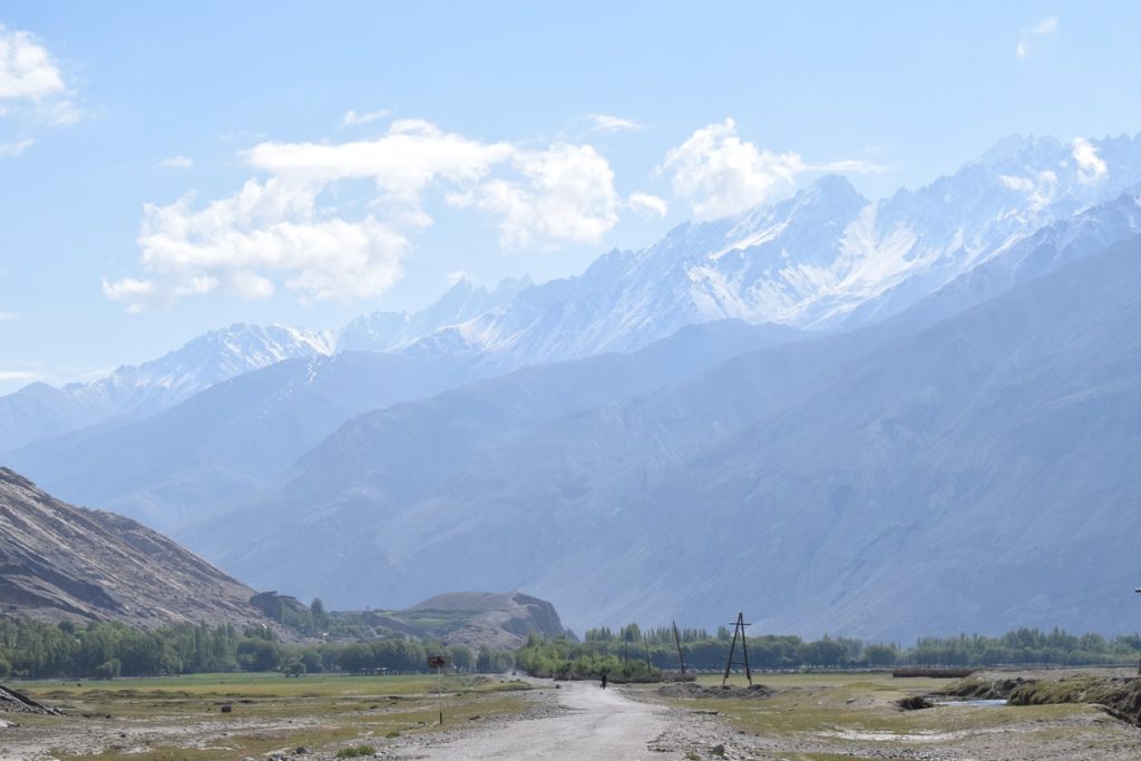
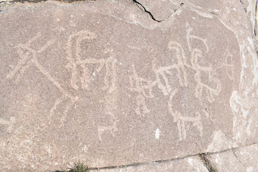
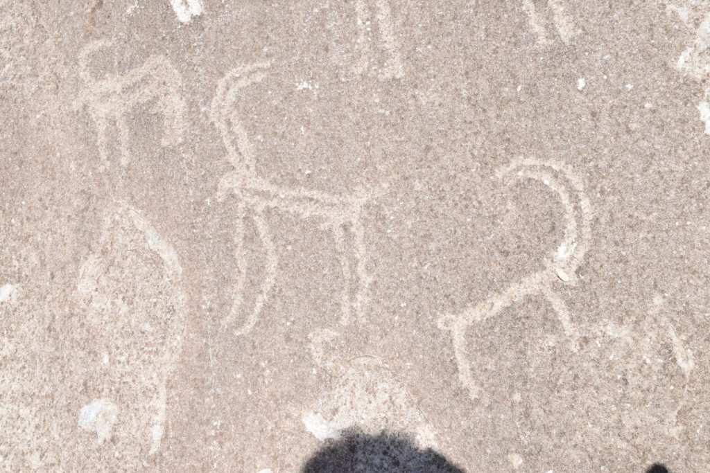
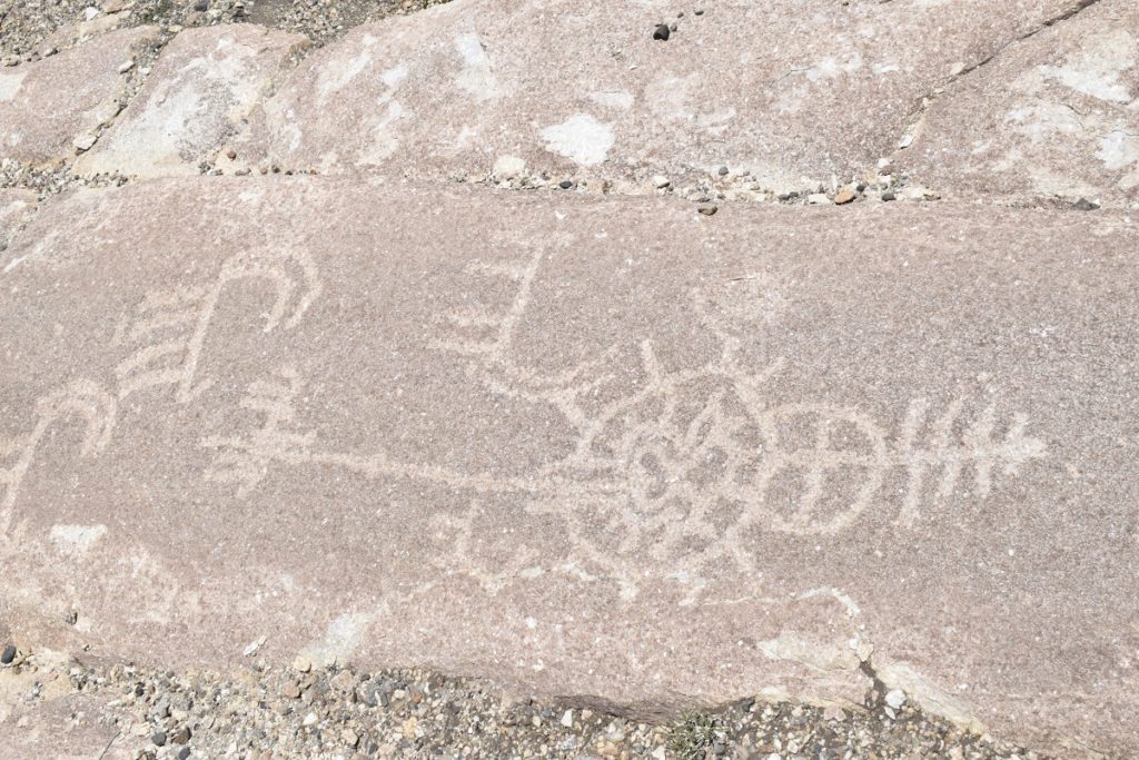
“Langar village is at the foothills of a spur of the Shakhdarya Range with Karl Marx Peak being its highest point (6,723 m above sea level) opposite the confluence of the Pamir River which bursts out of a narrow canyon and cuts through the high ranges of the Hindu Kush to join with the Afghani Vakhandarya River. Langar is located in the foothills of a small, but steep and narrow pass. A traveler descending from the side of the Pamir Desert to Langar would find the first village, Badakhshan, a paradise on earth because of the drastic contrast of natural landscapes. Langar is at the crossroads of many caravan routes. This determined the significance of the area as indicated by the abundance of rock images. “(Eurasia travel)
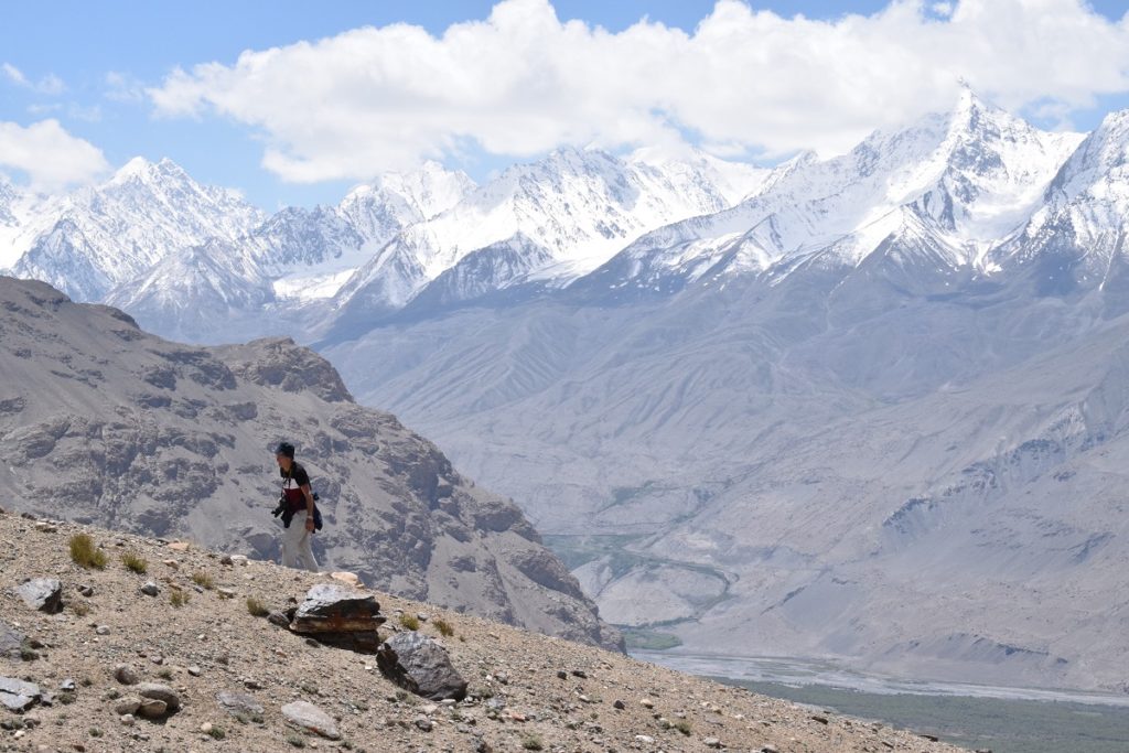
There, on a steep slope of the mountain are over 6000 ancient petroglyphs . Climbing on the unshaded scree is hard work due to the altitude ( over 3000m) but the views make the efforts worthwhile. From there you get a full view of the confluence of the rivers and of the high peaks of the Hindu Kush.
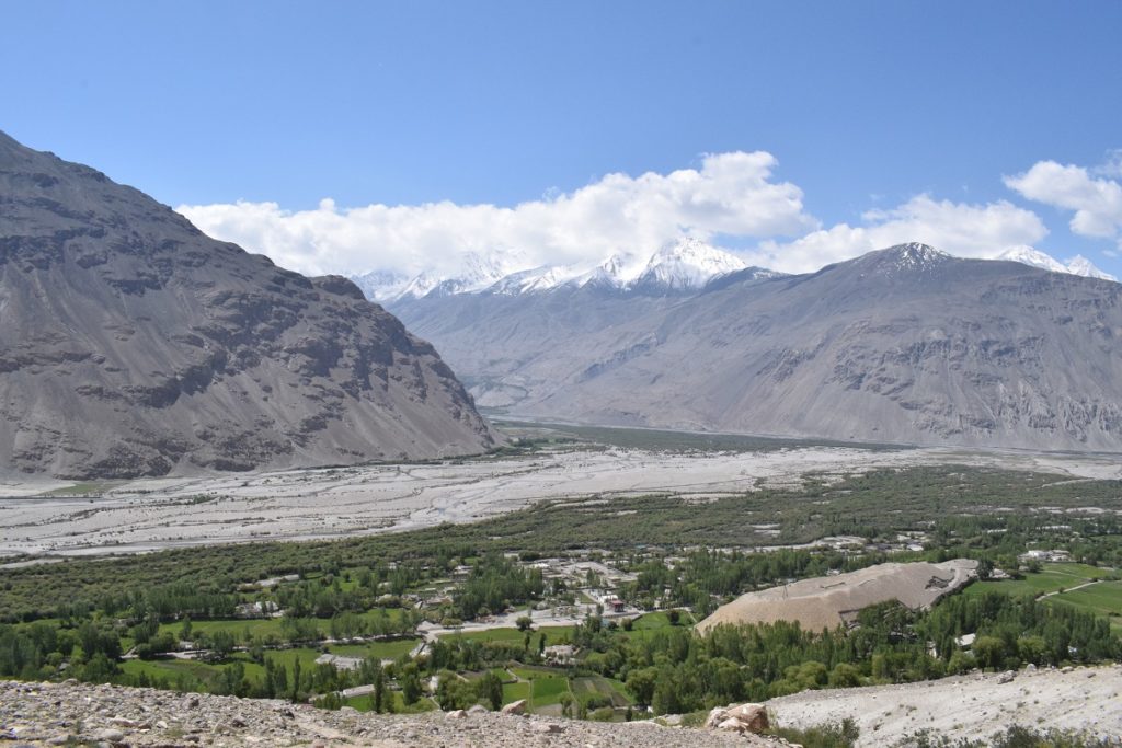
Two local boys took us there. We wanted to carry on to Enghels Meadow ( 3 hours away) but it proved difficult to find the path so we simply had lunch admiring the views before descending back to the village.
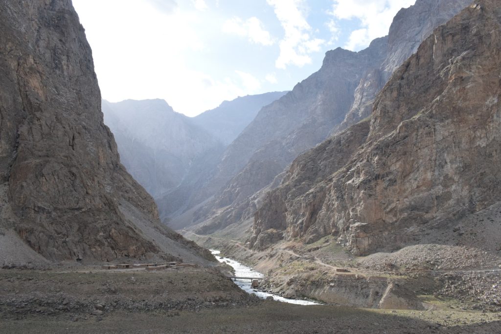
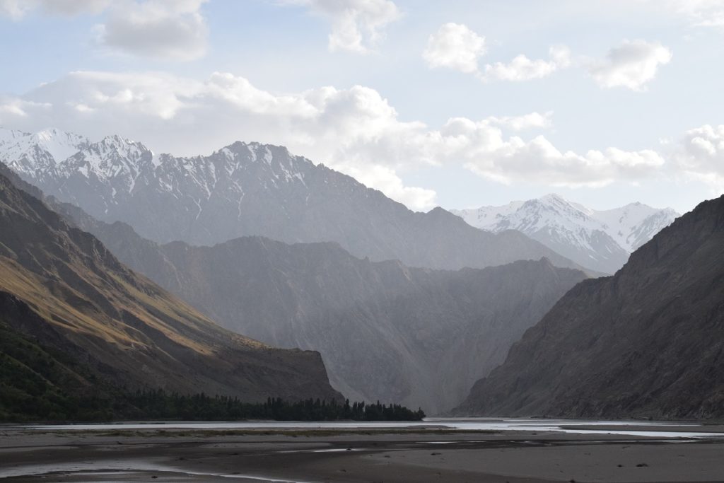
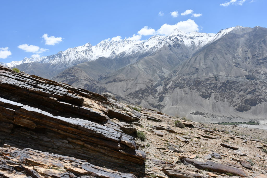
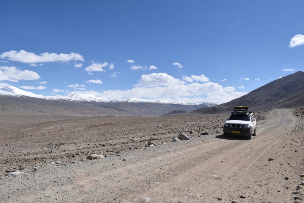
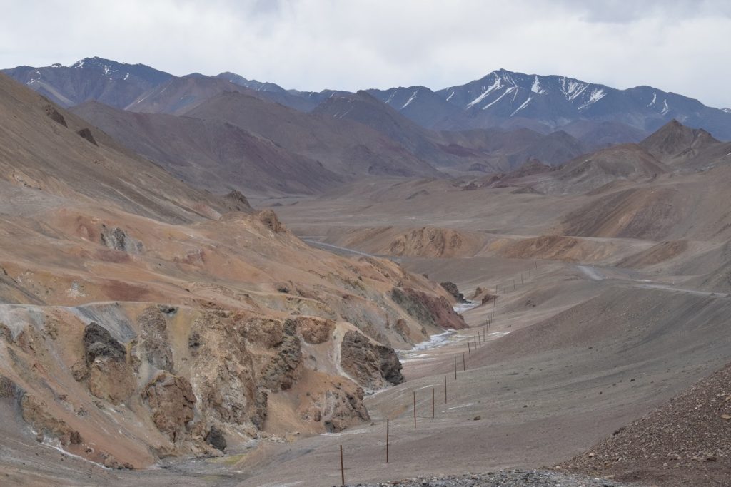
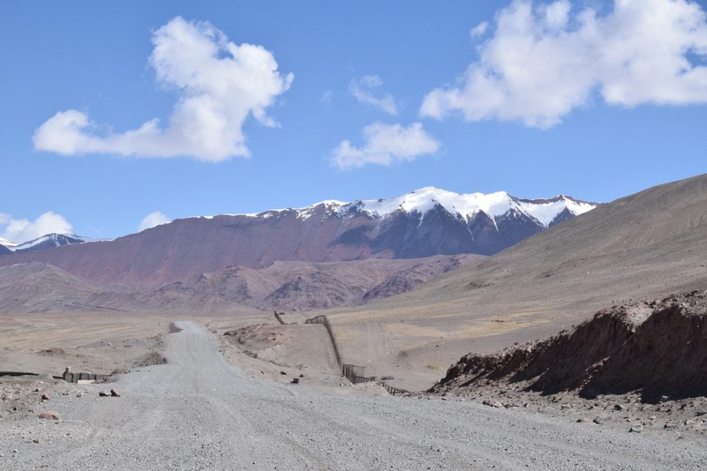
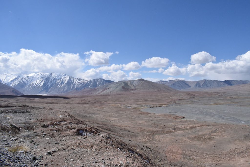
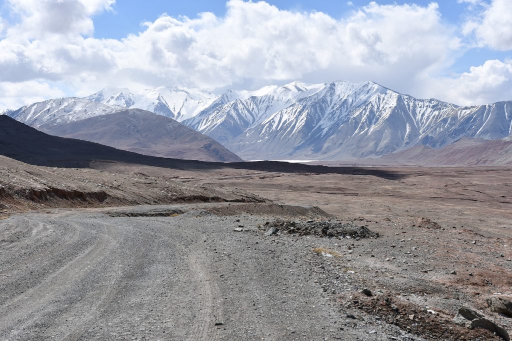
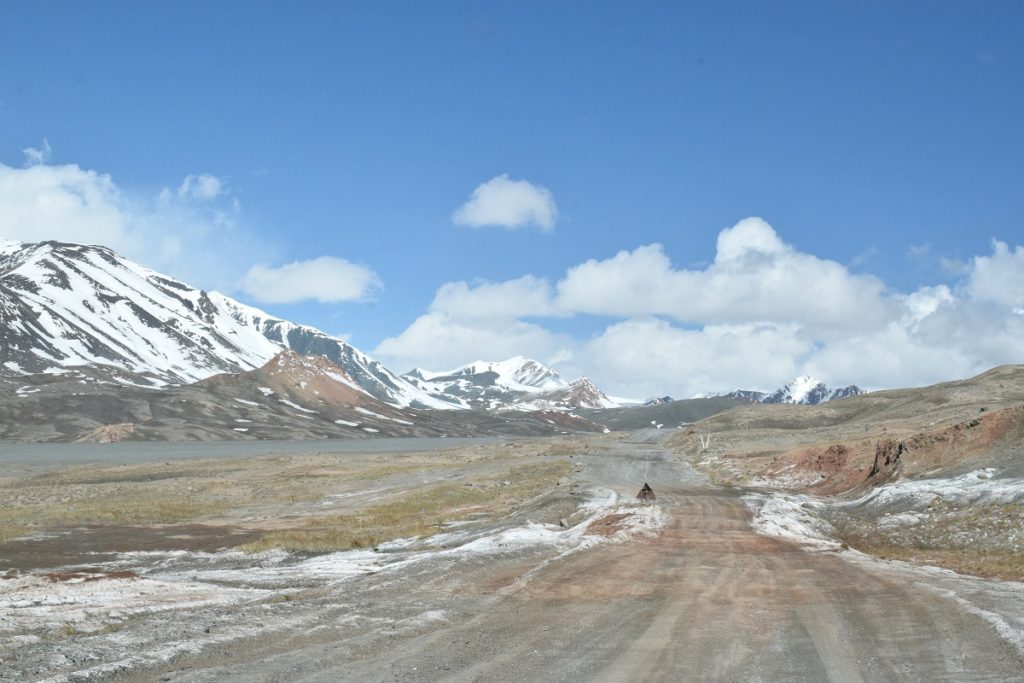
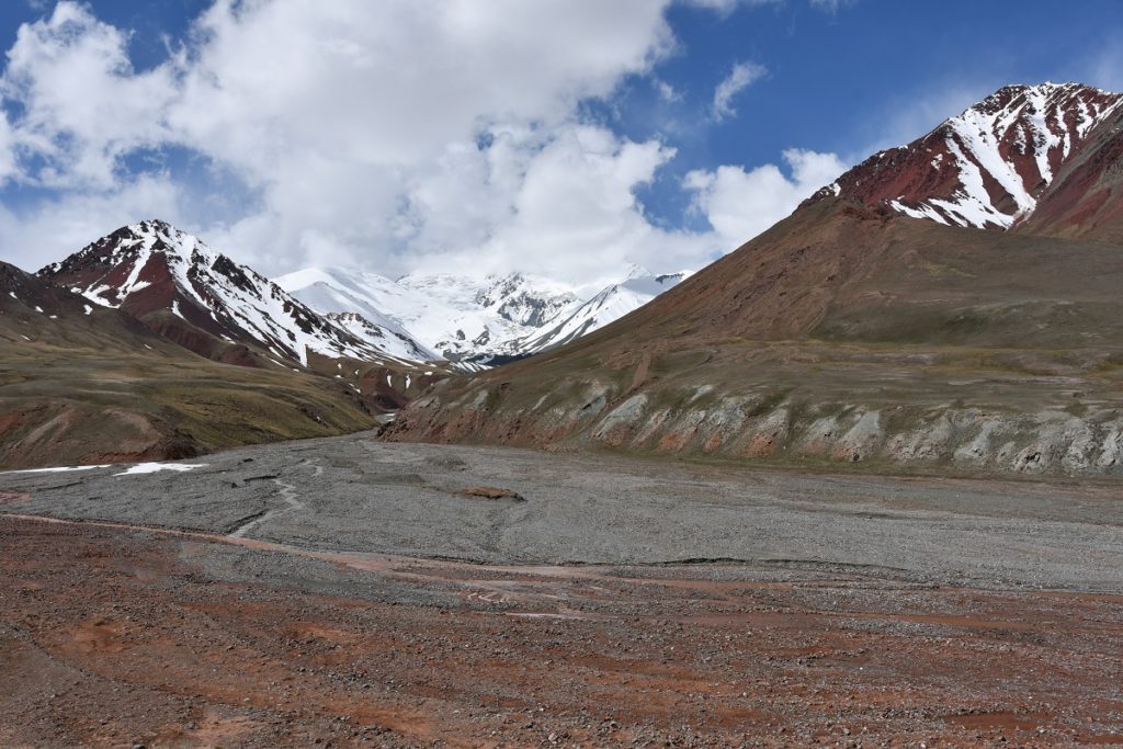
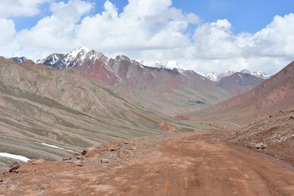
We took the road, heading north which rejoins the Pamir Highway, some 100km away, going through the KHARGUSH Pass (4,344m). This is a dirt road, quite rough in places, especially when you drive over ” wash boards”, a succession of hard ripples in the ground, perpendicular to the direction of driving which makes the ride very uncomfortable. This can go for kms on end. The landscapes, though, were spectacular. The pictures speak for themselves!
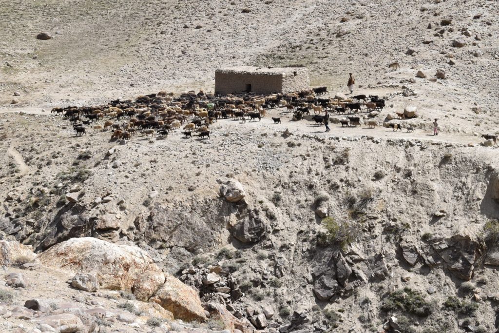
At first, very close to Afghanistan 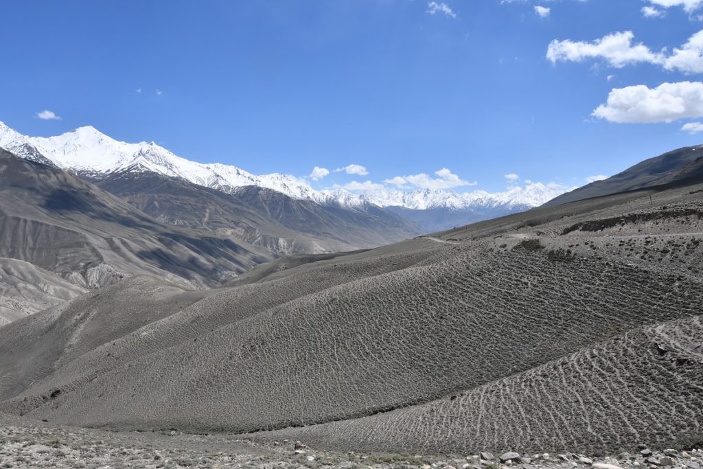
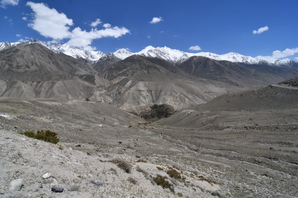
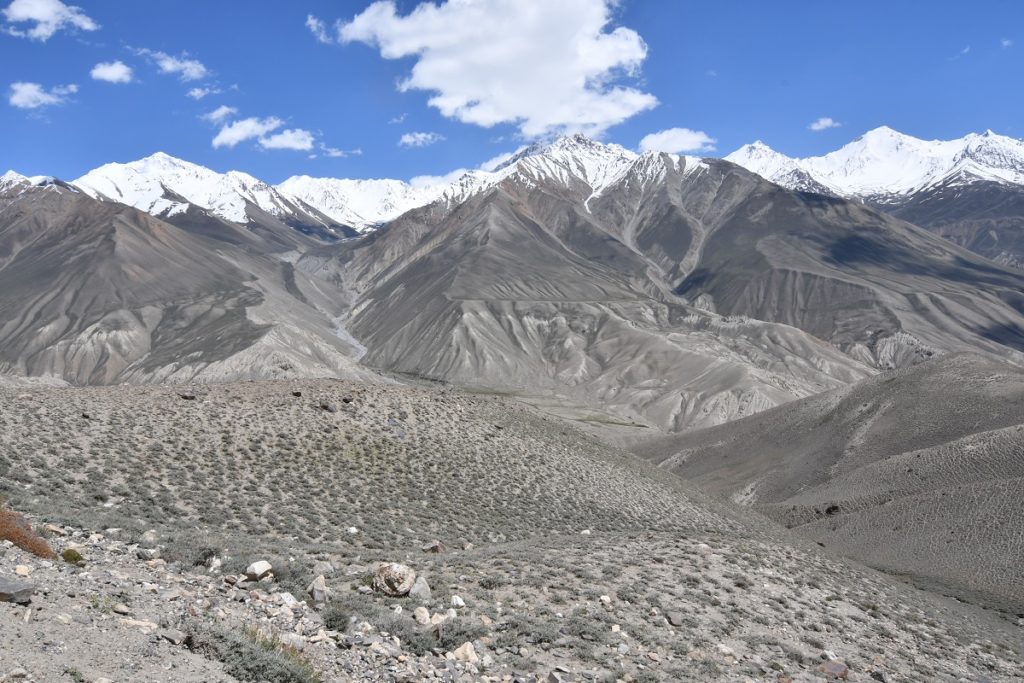
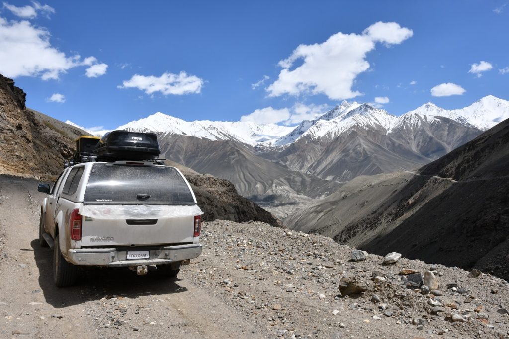
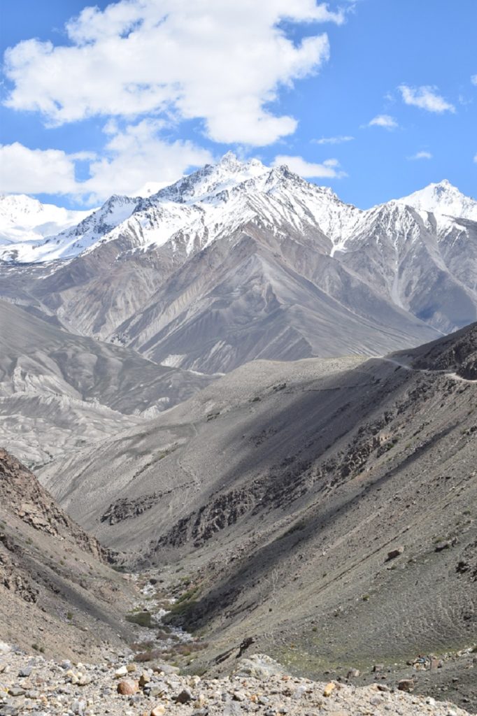
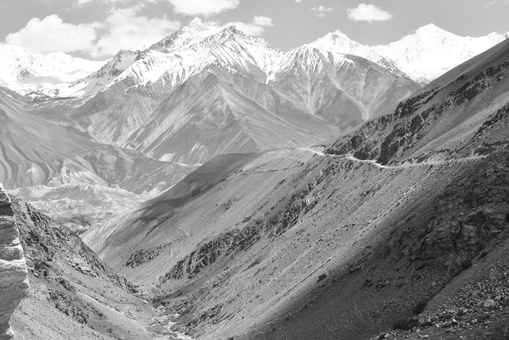
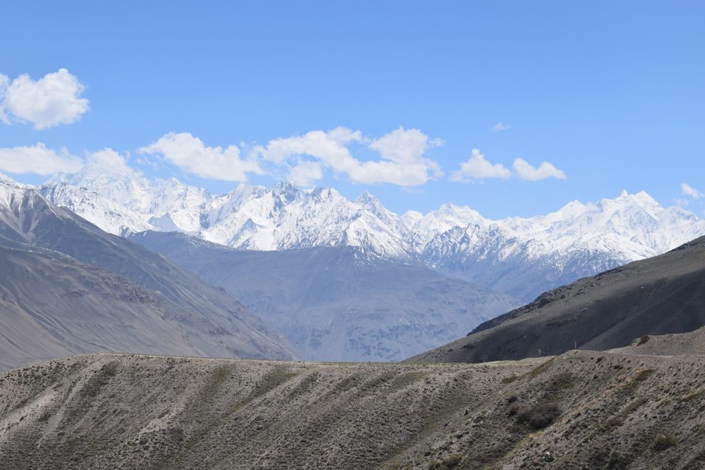
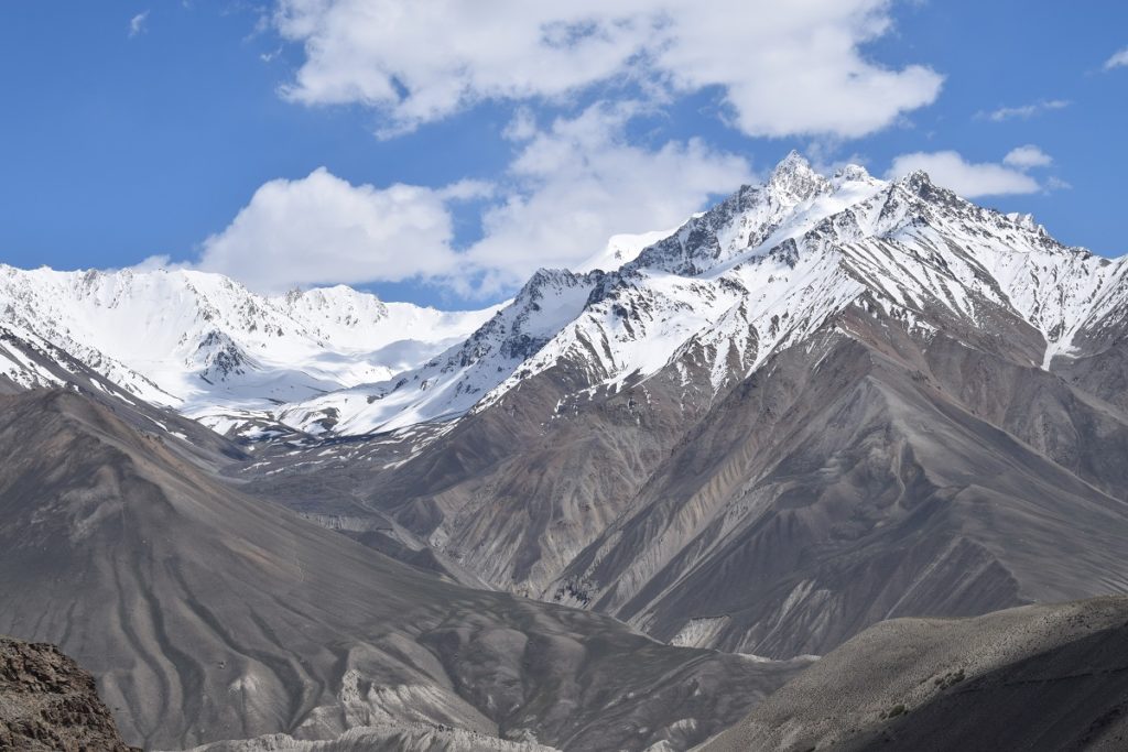
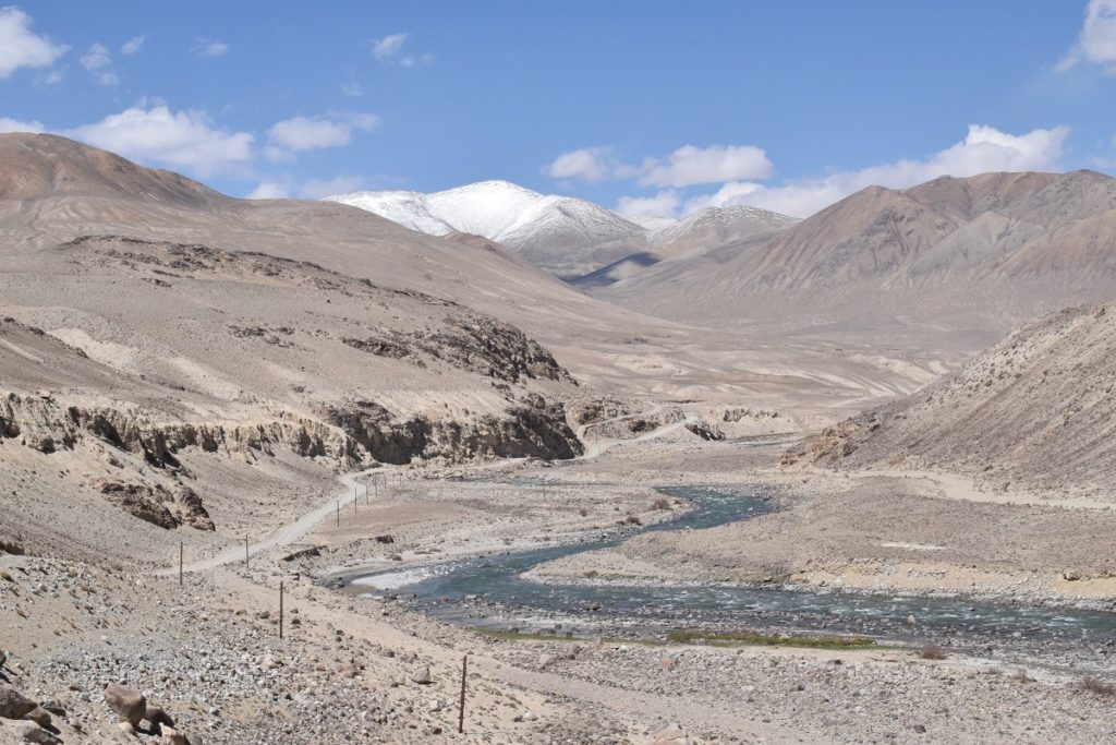
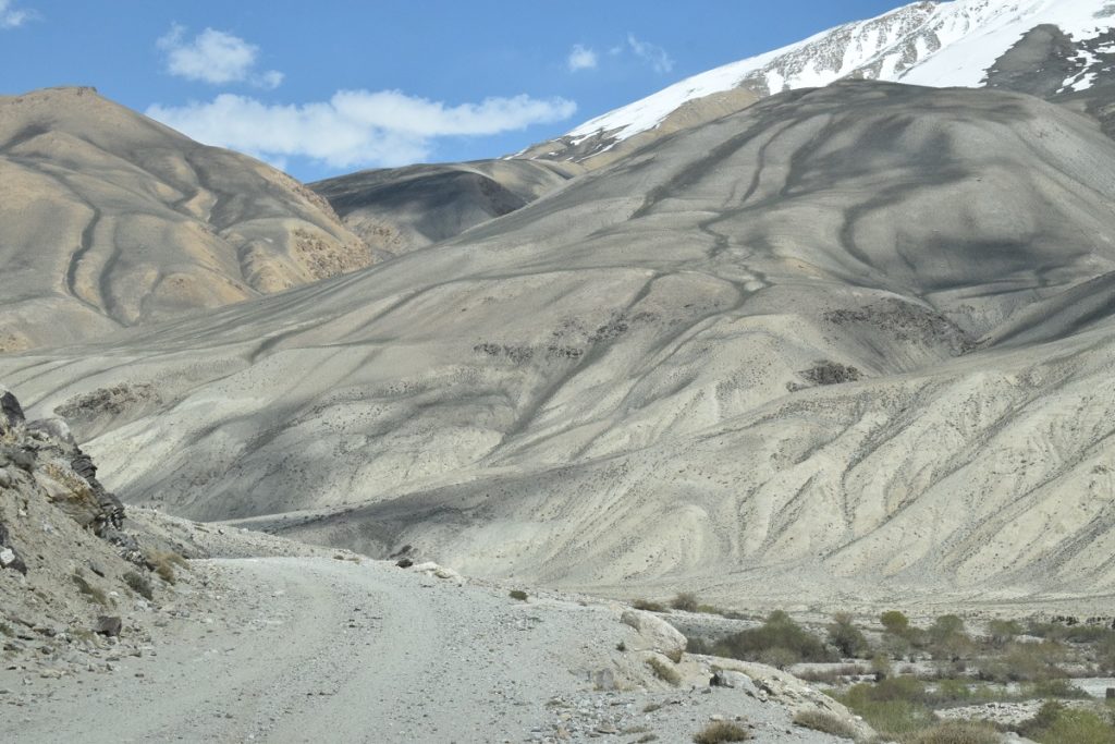
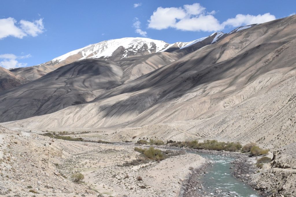
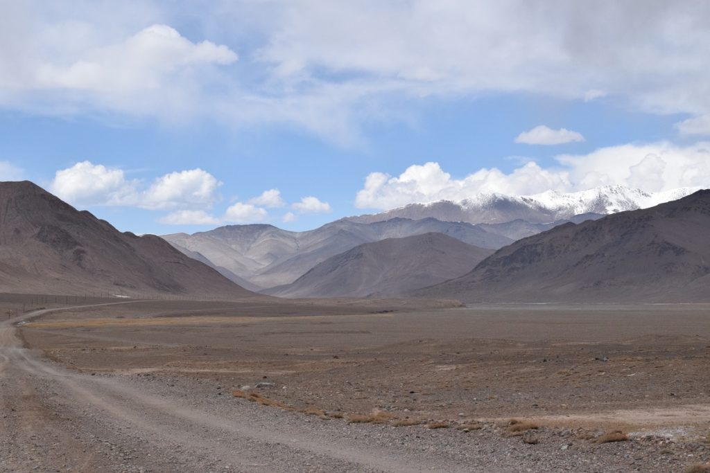
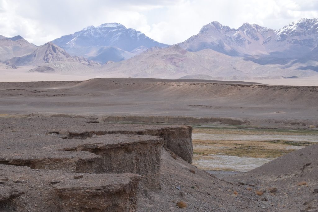
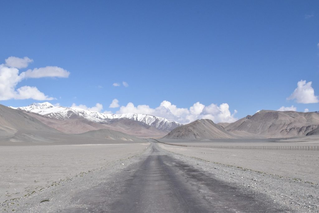
The scenery changed quite dramatically after the pass and we knew we had reached the Pamir Plateau ( of High Pamir), a huge area covering the east of Tadjikistan at an altitude ranging from 3,500 to 4,700m with high peaks reaching close to 7,000m.
The High Pamir is one of the harshest mountain deserts in the world comparable, in this respect, with Tibet. Its main climate features include high altitude aridity, and an extreme continental climate that causes cold winters with little snow and a short cool summer.
Once we had rejoined the Pamir highway, we had planned to go to Budunkul a small settlement at the end of a dirt road, giving access to lake Yashikul but we had a flat tyre before the turn off and decided to carry on to Alichur instead 30km away. ( we did not want to risk going in the middle of nowhere without a spare). The Pamir Highway is partially asphalted and it was bliss after spending the afternoon bumping around on a dirt road. You have to stay alert though, as potholes and rollercoasters appear out of nowhere.
ALICHUR
We arrived late afternoon and tried to find someone who could fix the tyre but we were told to try Murghab ( the largest settlement on this side of the Pamir Highway, over 100km away). We decided to stay in Alichur for the night.
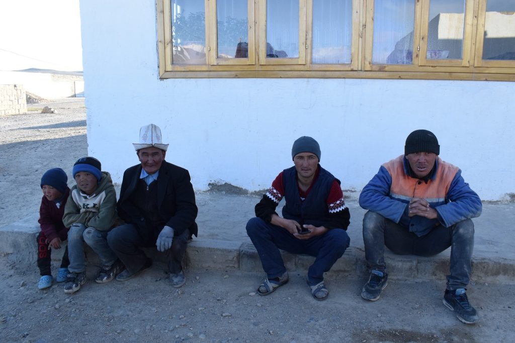
Alichur is a small village (3,991m) surrounded by endless empty moonscape. The village consists of very little other than several homestays, a small shop, and a few wells for drinking water.
The wind had picked up and it was rather cold . We booked in a homestay, quite basic and without heating, it was cold inside. We welcomed a hot meal. As is the norm here, the toilets were in a shed at the back of the “garden” and the water for the shower had to be heated on a stove. ( no running water in this part of Tadjikistan)
Monday 17th June, 2019 – MURGHAB
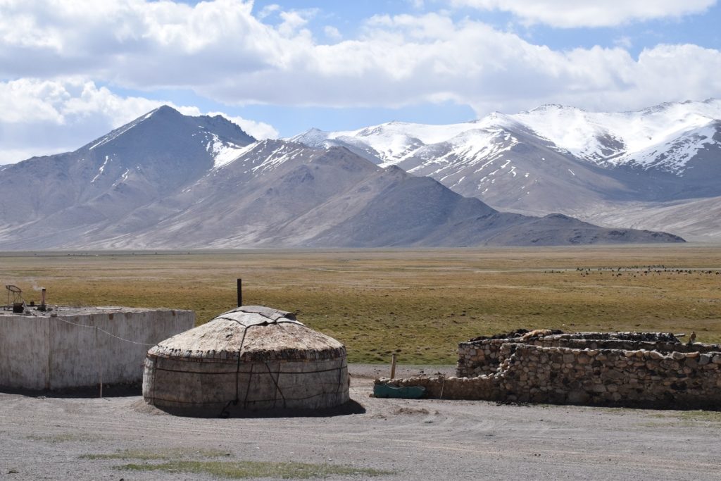
Drove to Murghab and arrived late morning.( saw yurts on the way).
We found someone to fix the tyre but he told us the slash was too big and we really needed a new tyre. He had some second hand ones but not in the right size so he agreed to fix the existing tyre as best he could. In the meanwhile, he invited us to his house to have tea. There, his wife was preparing lunch and inevitably tea turned into lunch.
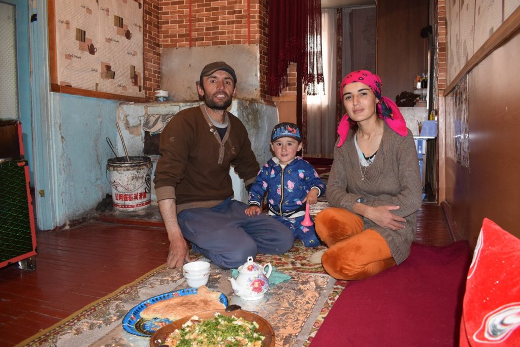
We did not want to hang around too long in Murghab so drove on to Karakul, 130 km away. We had no choice but to keep going, hoping we did not get another flat tyre as the repaired tyre would probably not last very long! Our best chance to get a second hand tyre was in OSH, in Kyrgystan, over 400km away…
Karakul
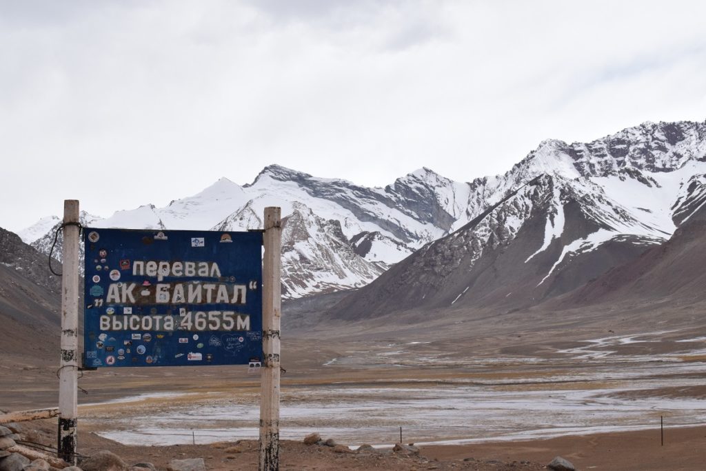
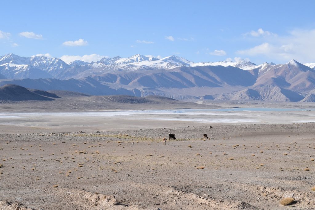
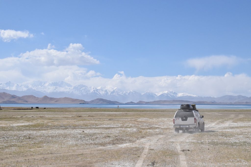
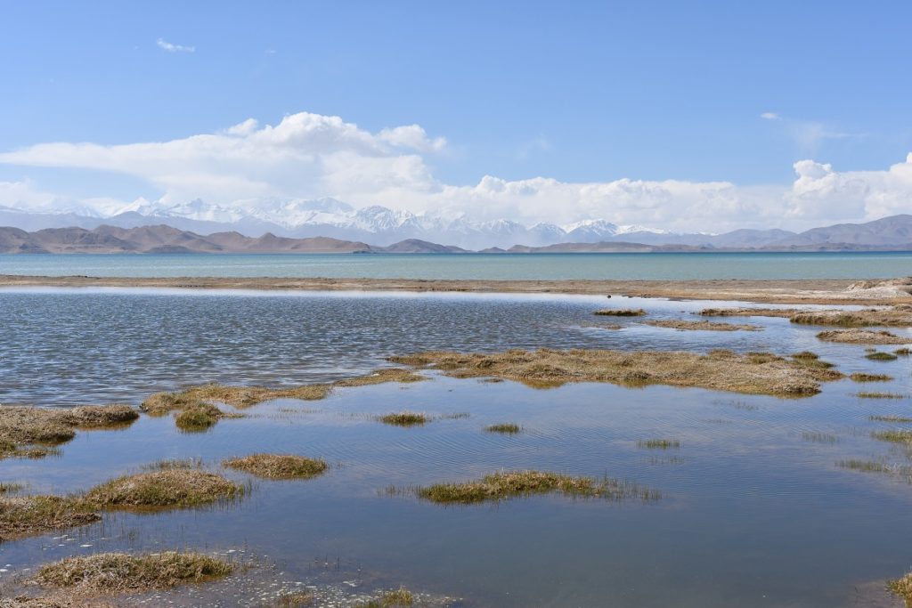
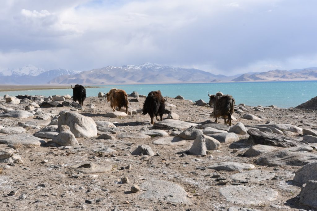
The road to Karakul gets very close to the Chinese border and goes over 2 high passes : Naizatosh Pass (4,314m) and Okbaital Pass ( 4,655m). The village of Karakul is on the shore of the lake of the same name. Karakul means “black lake “in Tadjik because of the colour of the water when the sky is overcast.(luckily for us, it was a nice blue on that day).The lake lies at an elevation of 3,960 m and was formed by the impact of a meteorite.
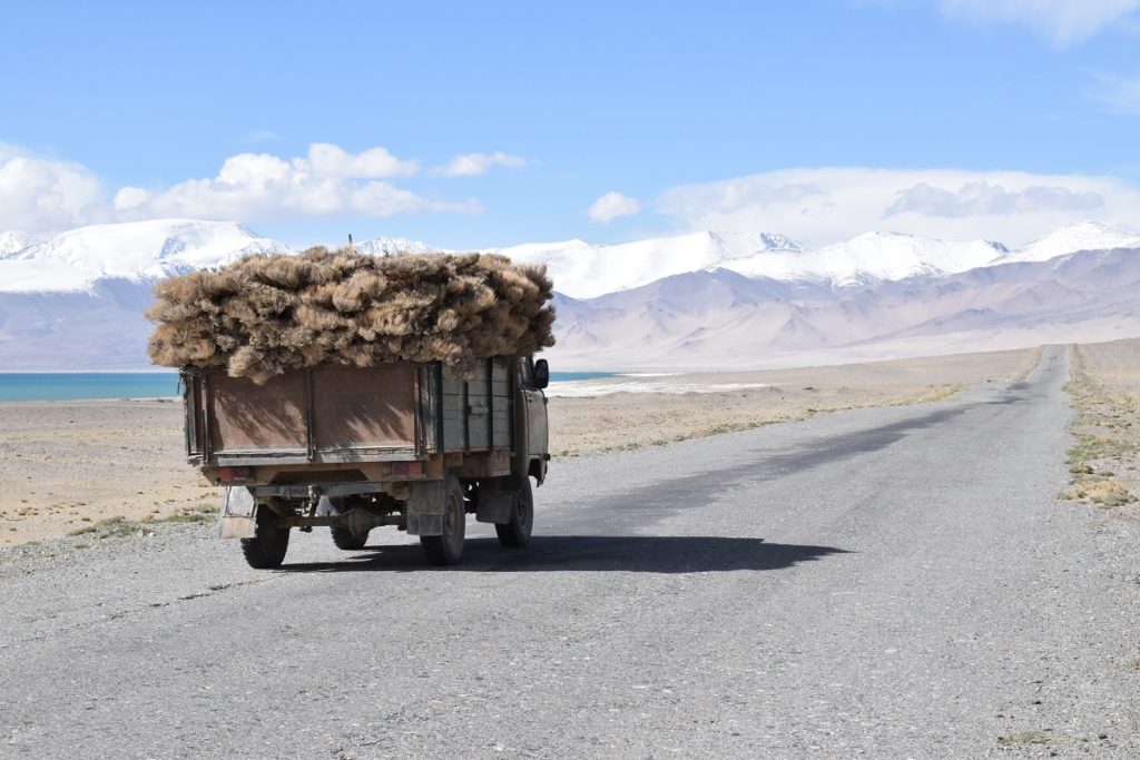
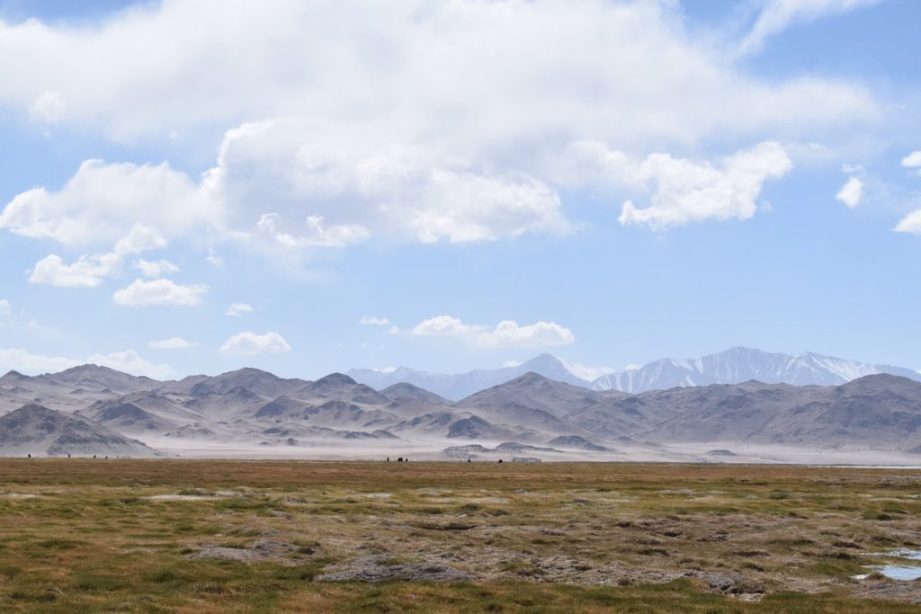
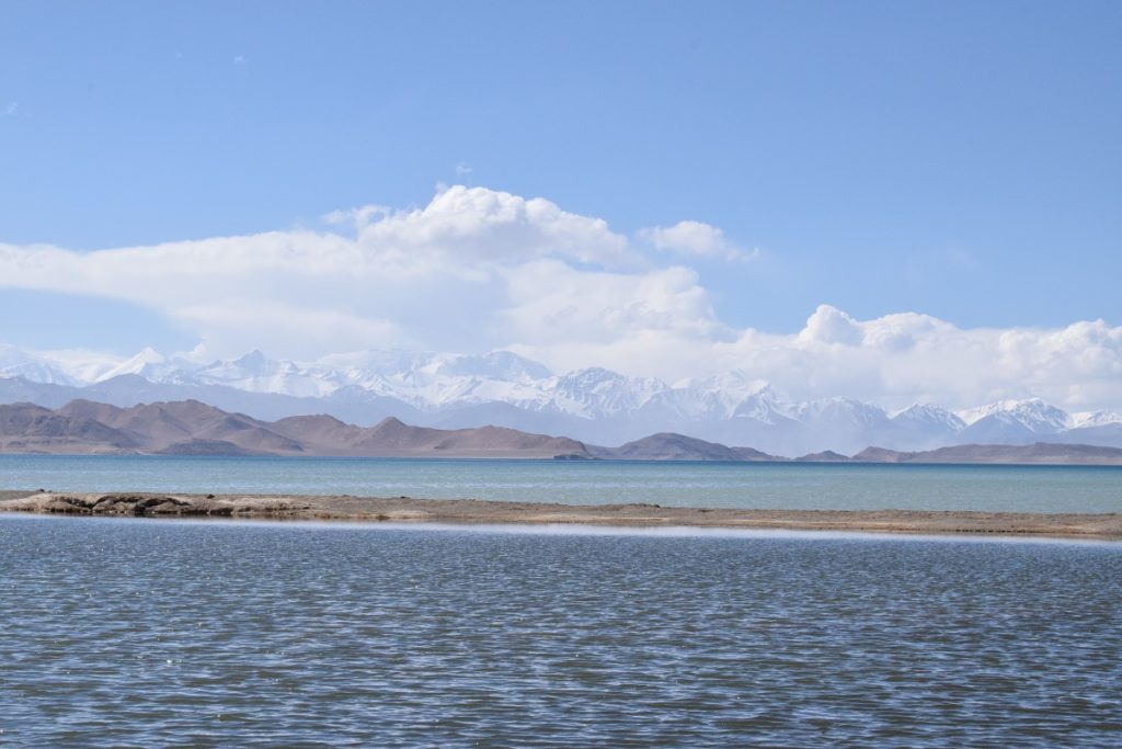
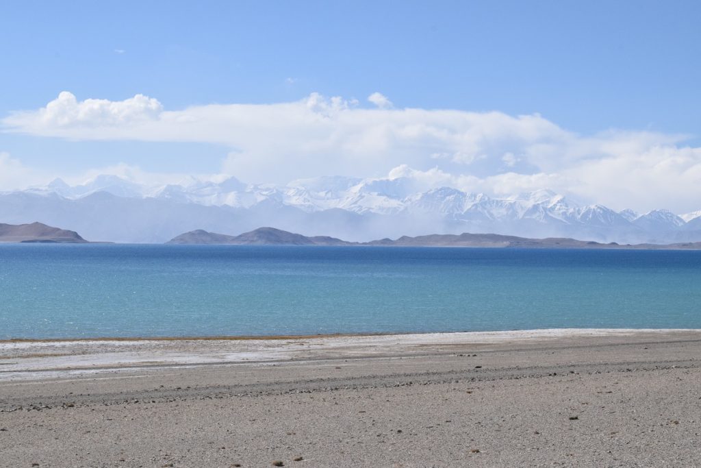
Lake Karakul
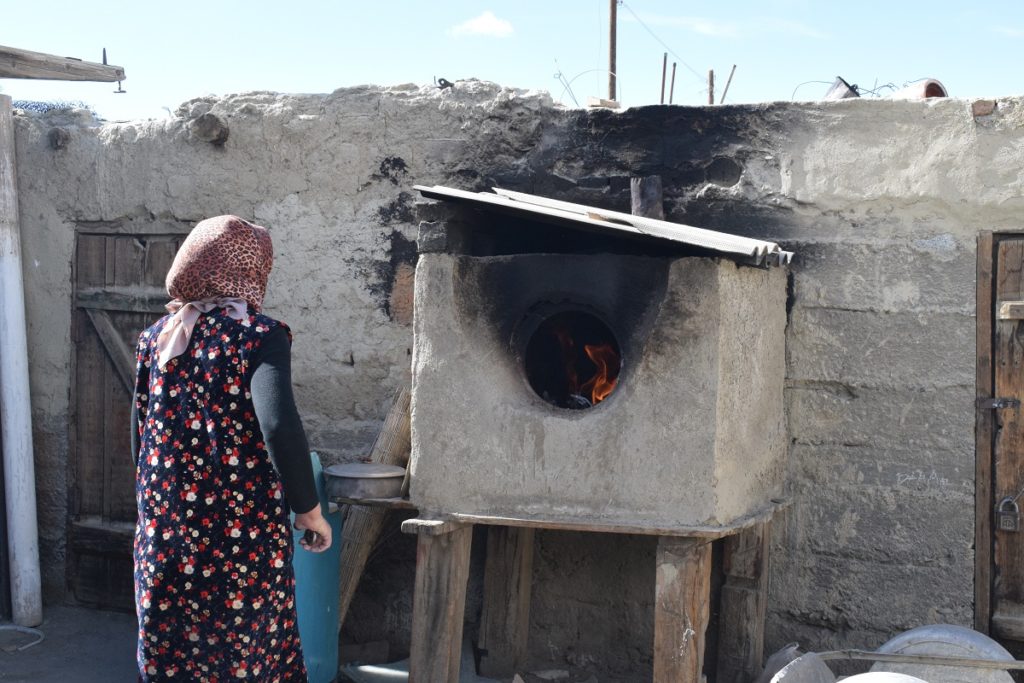
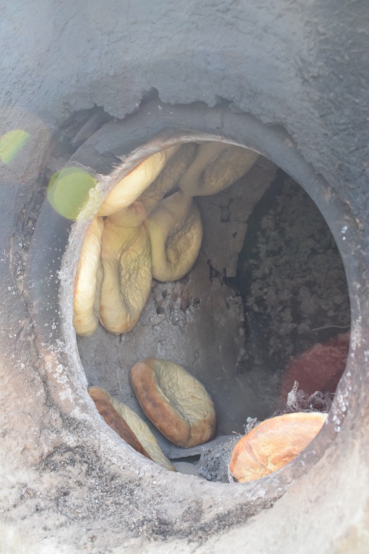
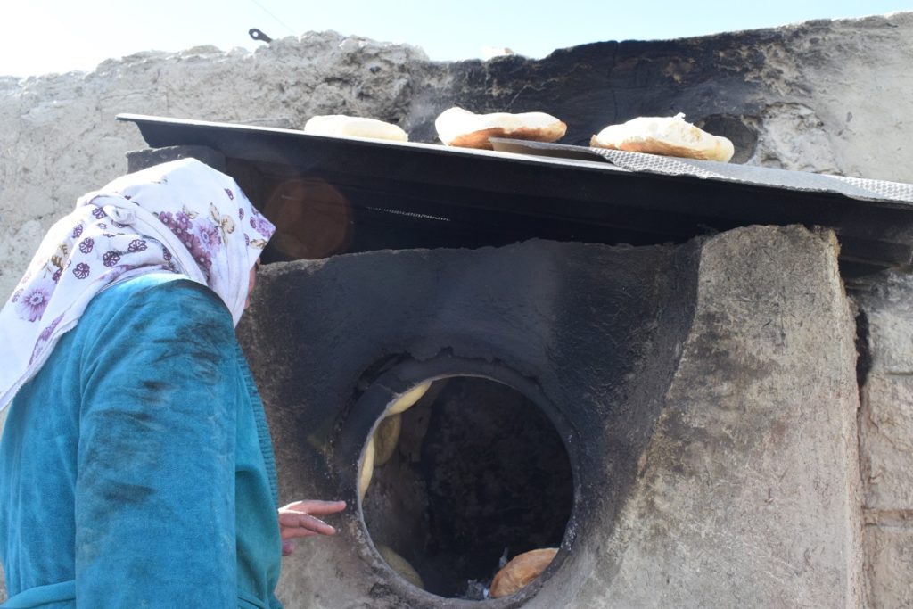
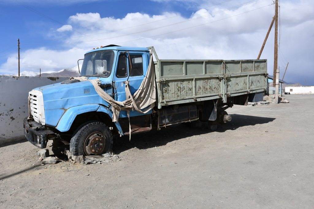
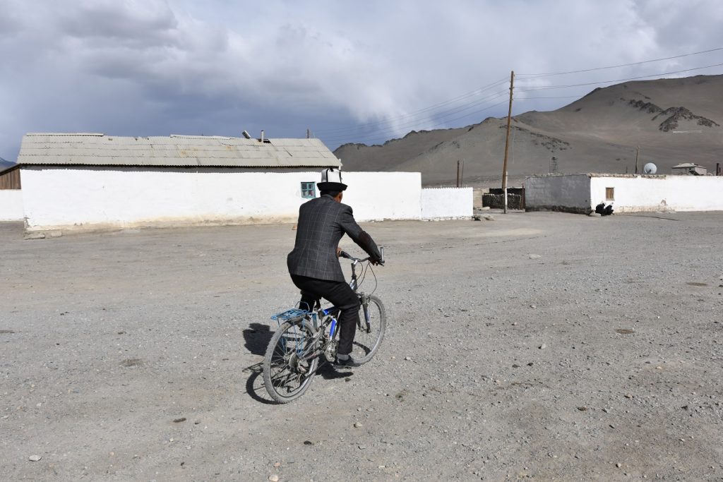
The village, like most settlement along the Pamir Highway is quite bleak and desolate. The only “shop” stored a limited selection of dry food( essentially biscuits, sweets) and soft drinks. We found someone baking bread in her back yard in a tandoor oven and were glad to be able to buy some.
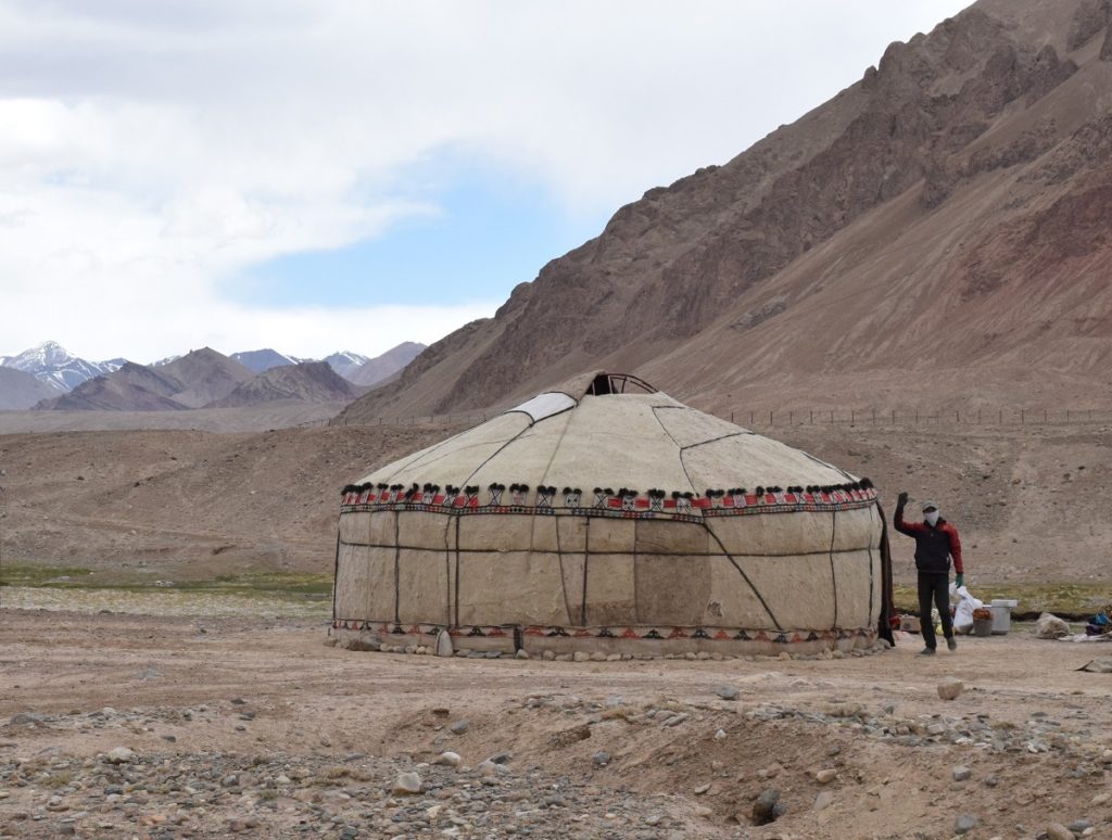
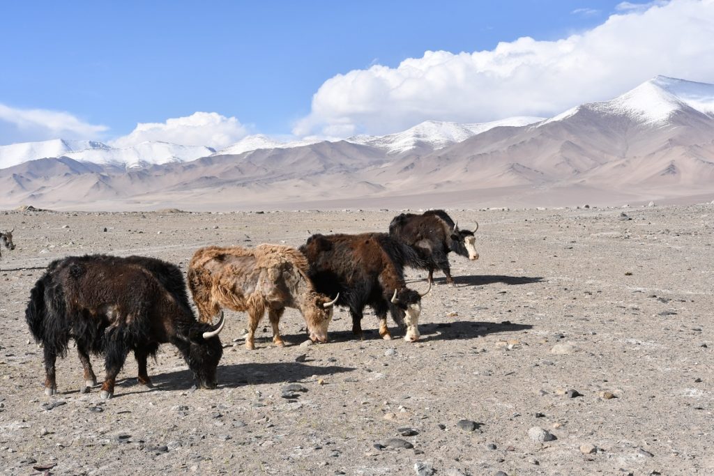
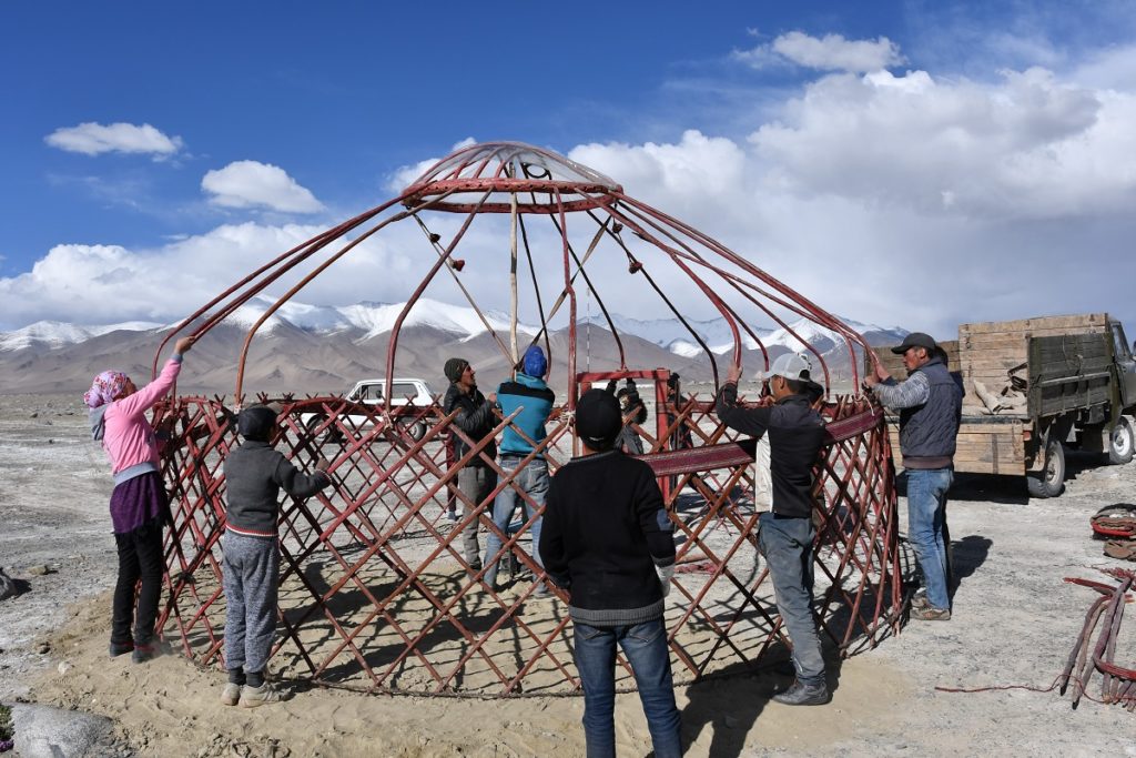
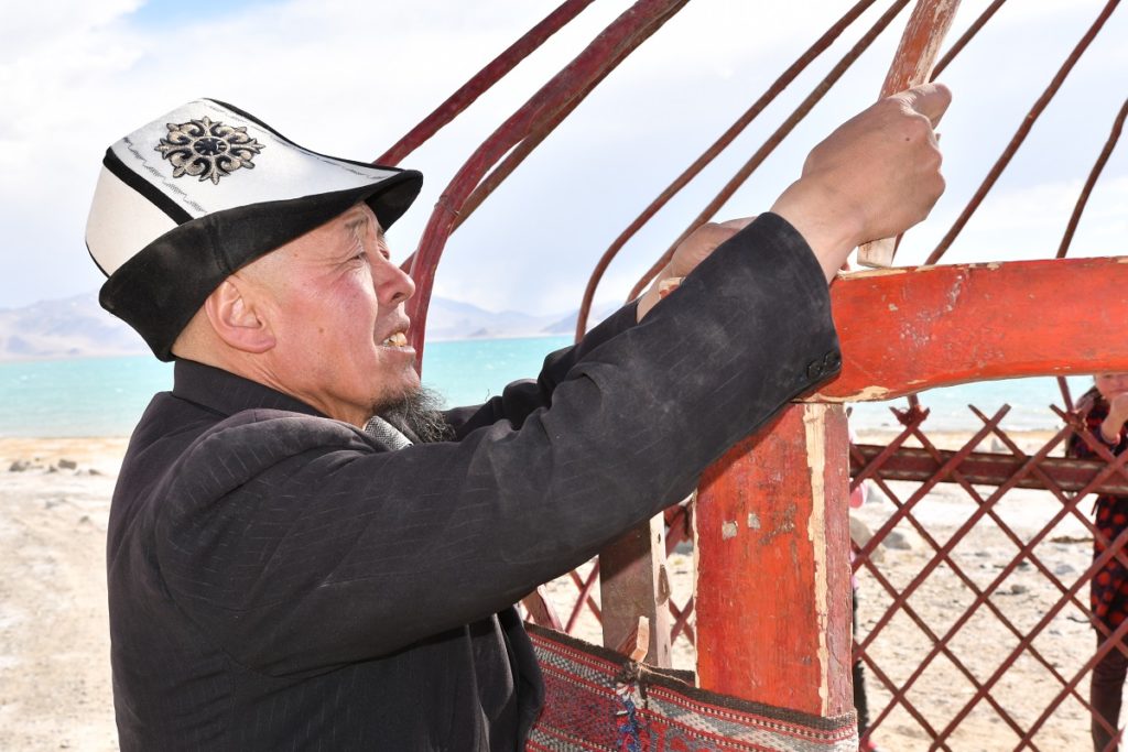
We walked around for a while, saw a family erecting a yurt by the side of the lake and the yaks coming home!
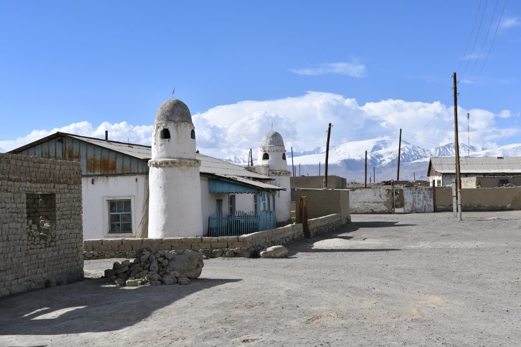
The mosque 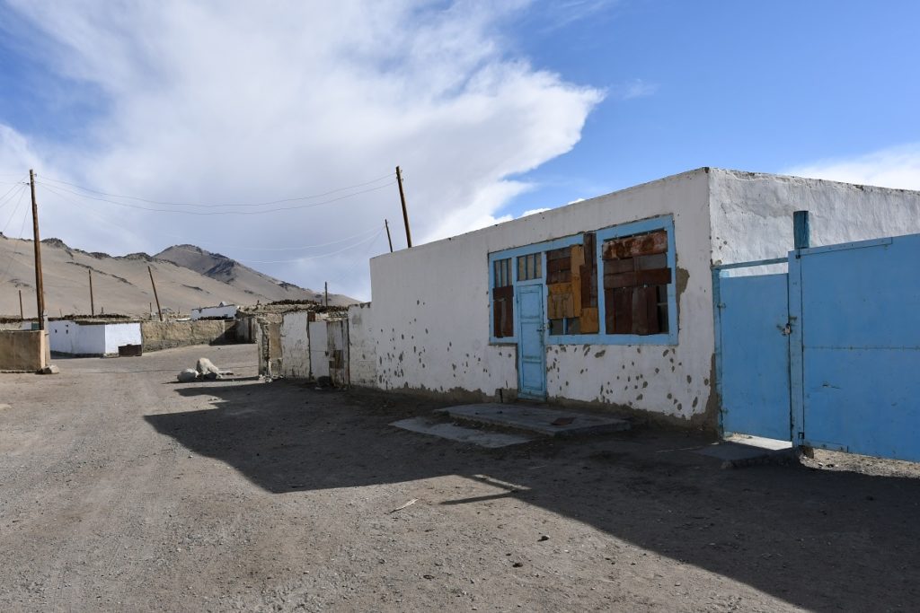
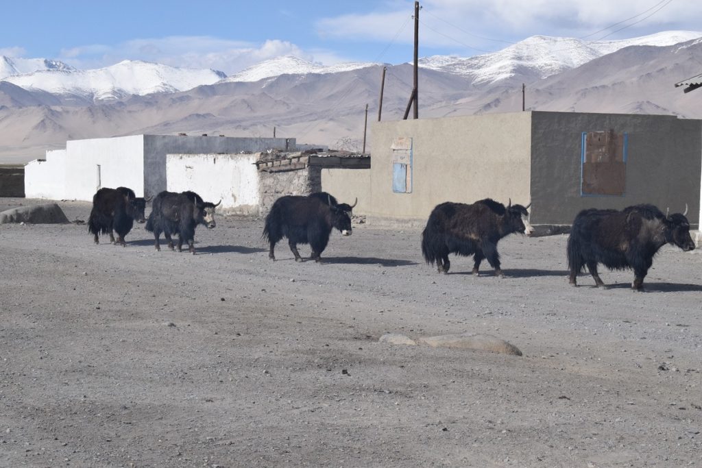
The yaks are in town…
We camped by the lake and admired the sunset but it was very windy and cold especially once the sun had come down. We ended up in bed by 7.30 pm!
Tuesday 18th June, 2019 – Crossing into Kyrgystan
The border is 60km away but it is at the top of a pass and we wanted to get there early enough to be able to carry on to Osh.
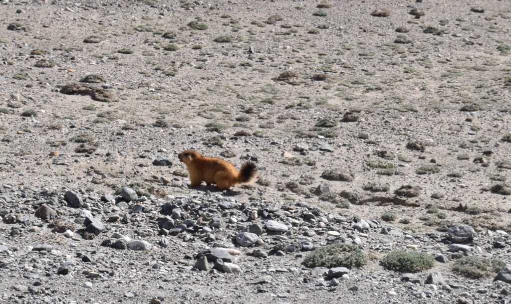
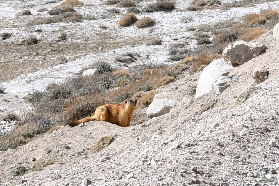
Journey uneventful, we saw quite a lot of marmots ( bigger than a cat and with a black tail). We have seen them all along the Pamir Highway. They seem to be able to survive even in the bleakest conditions. We also saw a massive eagle circling , looking for a prey and more yaks.
Striking and ever changing landscape. We had a hail storm going up Uy Buloq Pass (4,232m), and the retun of unpaved road !
