COPPER CANYON
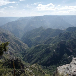
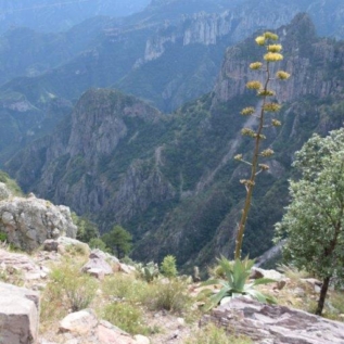
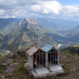
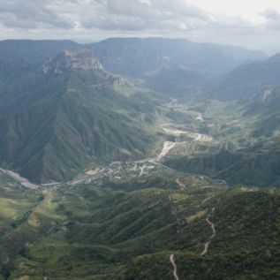
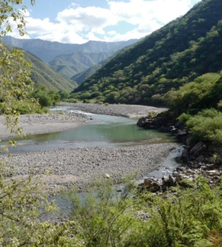
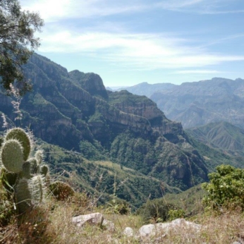
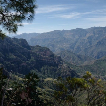
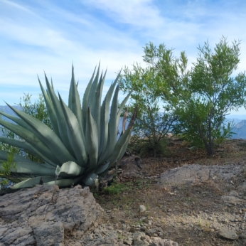
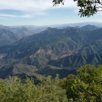
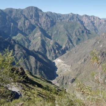
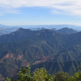
The Copper Canyon, in the Sierra Madre Range, is actually several large canyons boasting a grandeur four times larger than the Grand Canyon of the United States, although different in nature; narrower, deeper, and more verdant.
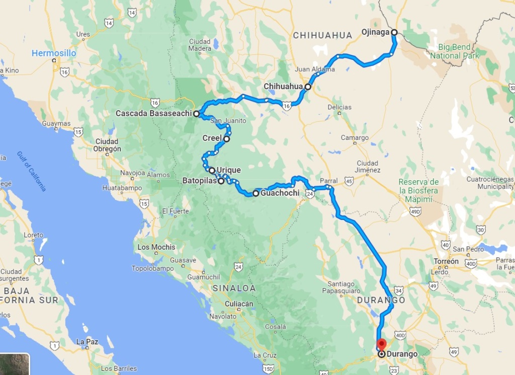
The town of Creel is the gateway to the canyon. it offers all kind of activities : quad biking, horse riding and hikes to nearby attractions. It is touristy but still rough and ready at the same time. The presence of the Raramuri (also known as Tarahumara) a native ethnic group also gives it an edge.
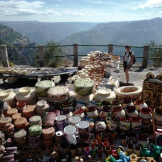
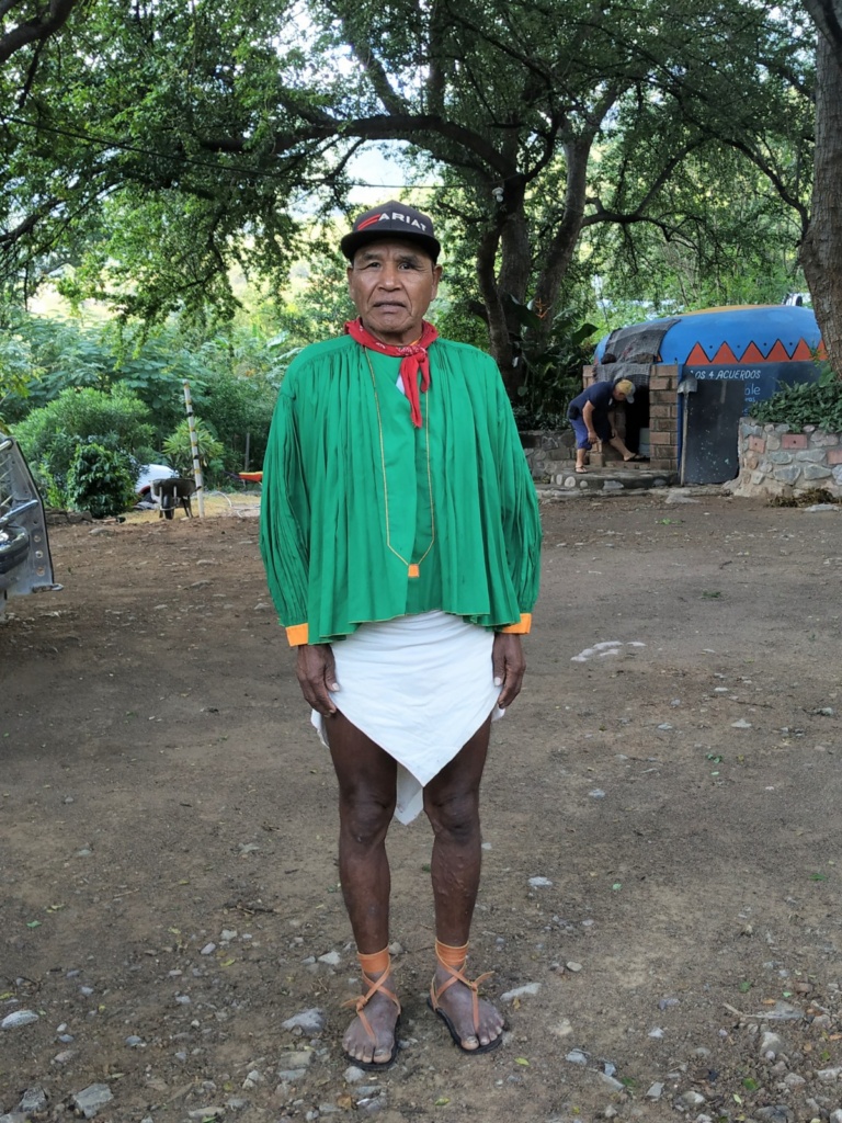
The Raramuri ( meaning “those who run fast” in their language are renowned for their long-distance running ability. They wear sandals with a leather upper and a tire tread for the base, with a leather strap that you use to tie around your foot.
They also excel in basketry work.
We had dinner at a small restaurant on the main street. The thing to do in the evening here, seems to be going up and down the main street on quad bikes, pickup trucks or…horseback with music blaring out to make sure you get full attention !
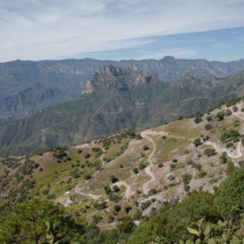
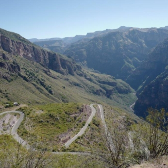
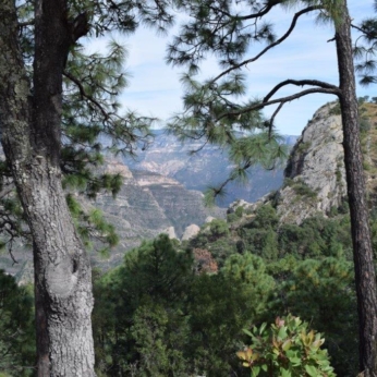
The next day we took the road to Urike, a small town which sits near the deepest point of the Canyon. We stopped at a couple of view points surrounded by pine and oak trees ( we are 2,370 m above sea level) before taking the dirt road that goes all the way down to the bottom of the Canyon at 500 meters above sea level . The difference in the vegetation is noticeable, We stayed at a campsite there and grapefruit, passion fruit and papaya were growing in the garden.
[click on picture to open gallery]
Gallero Viewpoint- Urique Canyon
The owners were very welcoming, we could use their outdoor kitchen and they even invited us to use the Temazcal. The Mexican Temazcal is a steam bath (similar to a scandinavian sauna). Usually built in the shape of an igloo, the ritual dates back from Maya times and involves the use of medicinal herbs to aid purification.
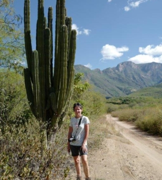
We decided to take a day off and did a 4 hour hike to the next village: La Higuera
[click on picture to open gallery]
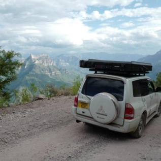
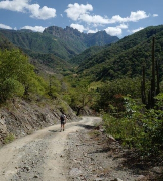
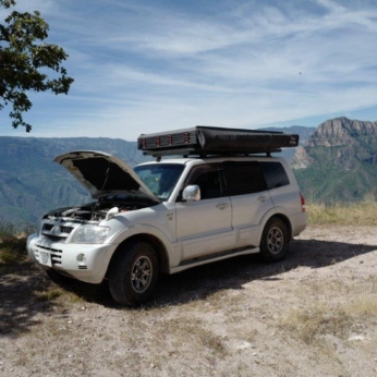
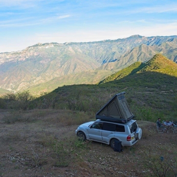
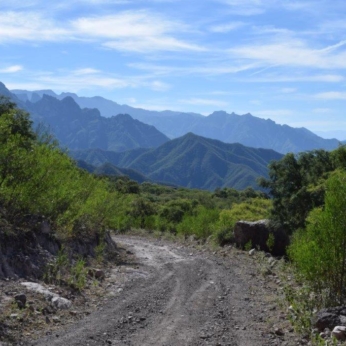
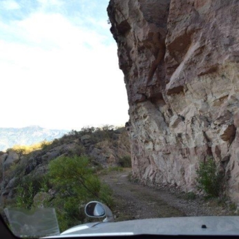
Next morning we took the road to Batopilas. Our host advised us to get back to Creel to rejoin the main road because the dirt road to Batopilas was really bad but we did not want to retrace our steps so we went for it anyway. That road does not even show on Google map… It was bad! It took us around 5 hours ,not including stops,to do 62 km but the scenery was worth it. We only met a couple of cars the whole time so thankfully we did not have issues passing other cars along the way. We stopped about 15 km from Batopilas as it was getting dark and we did not want to risk driving at night!
The next morning we resume our journey and we eventually rejoined the paved road going to Guachochi. Next destination Durango.
[click on picture to open gallery]
