JAPAN – Mount Daisen – Osaka
Tuesday 3rd September, 2019 – Mount Daisen National Park
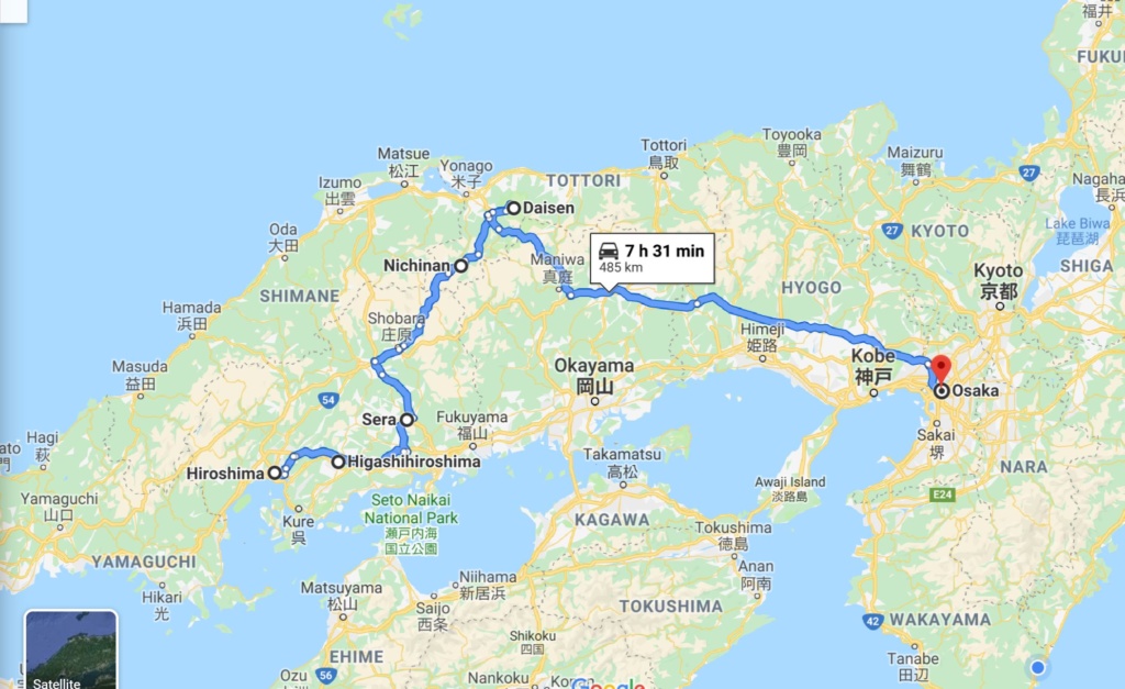
We make our way back north going through small roads and admiring the japanese countryside with rice fields a bright green (or yellowish colour if nearing harvest time.) At one point we come across a monastery/ shrine lost in the middle of the forest. A monk was closing the gate for the day but re-opened just for us.
We arrive at Mount Daisen Natinal Park mid afternoon. It is designated a national park of Japan for its magnificent landscape.
Mt. Daisen is a volcanic mountain located in Tottori Prefecture, It is the highest in the Chugoku region with an elevation of 1,709 meters. In addition to the colorful changes of four seasons, Mt. Daisen changes its shape vastly depending on which side of the mountain the viewer is standing on. ( it looks remarkably like Mount Fuji on one side)
Daisen has been regarded as a god itself since the ancient times and climbing the mountain used to be severely prohibited until the Edo period.(17th century) As a result, Mt. Daisen boasts the largest beech forest in western Japan. There is a Buddist temple Daisenji in the middle of the mountain. Just above the temple is Ogamiyama Jinja (the shrine of the mountain of the great god).
Peak season is over and the 2 local campsites are closed but as everywhere in Japan , facilities offered in the Park ‘sVisitors Centre are excellent and include spotless showers ( for a small fee). We stay in the car park overnight.
Wednesday 4th September, 2019 – Mount Daisen hike.
The weather is not so good, it rained overnight and we cannot see the top of Mount Daisen but we decide nevertheless to go on the trail leading to the top. The trail is well marked and is a long succession of uneven steps built on the flank of the mountain under the cover of the lush forest. It is very humid and hot despite the clouds and the heat takes its toll but we nevertheless make it to the top in just over 2 hours. the last 30mns are in the open but on a special elevated boarded walk so as to preserve the fragile ground and flora below it. The summit is still in the clouds so no view to the coast unfortunately!
We have a short rest before it starts raining and we make our way down, cursing every step as it seems to last forever and our knees plead mercy!
We are back at the car park for 4 pm and start on the road to Osaka.
Thursday 5th September, 2019 – OSAKA
We are due to meet friends in Osaka for lunch and we have to be at the restaurant before 12 pm. We decide to go on the expressway (toll road) eventhough we know it will be expensive, as we are short in time. We make it to Osaka but get lost after a wrong turn in the massive spaghetti junctions near the centre and we end up going round in circles for a while. We finally arrive an hour late !
We have a great time catching up with our friendsTakihiro and Junko ( father and daughter) and Graeme ( from London) and enjoy the delicious and delicate dishes which arrive one after the other, served by ladies in traditional kimonos.
We had planned to visit Osaka Castle nearby after the meal but a sudden heavy downpour deterred us. we agreed to meet again for dinner later on and we went in search of the AirB&B flat we rented for 3 nights. The back streets are very narrow and it is sometimes a challenge with the truck but we manage to find the flat. It is in a recent block of flats which seems to be essentially dedicated to short term lets such as ours. The studio flat is quite small ( 27 sq m) but well equiped with a small balcony and conveniently situated near a metro station. There is paid parking across from the flat (reasonable) so it is perfect.
For dinner we meet Takihiro and Graeme at their hotel near Osaka Station and go for a meal of yakitori ( japanese skewers). We miss our last train home and go back in a taxi where the driver wears shirt and tie and gloves. (seems to be the rule here) The cabs are old Toyota Comfort model with doors opening automatically at the back, activated by the driver.
Friday 6th September, 2019 – OSAKA
We go and visit the Castle, wander in the park surrounding it for a while but it is hot and very humid so we retreat to the museum of Oriental Ceramics.
The Museum is dedicated to the collection, conservation, study and display of East Asian pottery. The Museum’s superb collection consists mainly of Chinese and Korean ceramics, but there are also a number of Japanese items which range in time from 7th century Nara period to the mingei folk movement of the 20th century. It includes some pieces designated as national treasures and important cultural assets.
Saturday 7th September, 2019 – OSAKA
Today we are invited for lunch at Junko’s flat in the suburbs. There we meet her husband and son for the first time. They do not speak english but with the help of wine and vodka ( from Russia) the language barrier is soon forgotten. The meal is delicious and we have a great time. We decide to go to a jazz club for the evening and we all pack in a taxi back to the centre. We arrive around 7.30 p.m and the session has already started. Later a lady singer comes on and sings a selection of famous jazz songs ( in english). The club shuts early (10 p.m) and we go for a last drink before going back home.
Sunday 8th September, 2019 – OSAKA
Our last day in Osaka. We meet at Nippombashi tube station and Junko is our guide for the day. We walk through the Kuromon Ichiba market which has been there for over 170 years. There are all kinds of stalls and restaurants but the main attraction for us is the fish stalls selling all kind of local fresh fish and seafood. You also have street food stalls where you can taste the local specialities such as Takoyaki ( octopus cooked in small dough balls) or sea urchin cooked in their skins, massive oysters etc..
We then go to the Shingesai district to see the Tsutenkaku tower, the local landmark. The 100-meter steel tower may not appear particularly tall by modern-day standards, but it has carved out its own place in local history as a symbol of progress and innovation.
We move on to the Sumiyoshi Taisha Shrine, one of the oldest spiritual sites in Japan. There we see several couples bringing their babies to the temple for the first time. It is to an extent the equivalent of a christening and the child and mother are wrapped in a special shawl, sometimes with miniature small baby toys attached at the back.
JAPAN – Sakaiminato – Matsue – Hiroshima
Friday 30th August, 2019 – Sakaiminato
We made it! After driving just over 35,000 kms we are finally in Japan!
We had some delays at the port as we needed to go to a town 25km away to get our Carnet de Passage authenticated by the Japanese Automobile Association(JAF) This is the car ” passport” and a garantee for Customs that we are not bringing the car with the intention of selling it in the country. We need this document from the JAF office before our car can be released by Customs. The shipping agent representative is very helpful in providing details on how to get to the JAF office ( train and taxi or bus) but in the end we agree to go for the easier option: someone from their office will drive us there and back. (slightly cheaper than the train and taxi formula but still very expensive USD 102 …. and all this for rubberstamping a form in less than 10mn at the JAF office!
We are back at Sakaiminato for 1 pm and after another 15mns in the Customs Office, we are free to go. Our driver to the JAF office recommended to visit the Yusshien Gardens close by so we stop there on the way to Matsue.
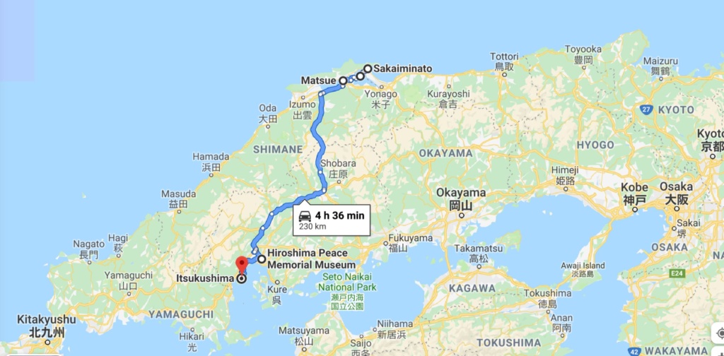
We then carry on to Matsue, reputed for its castle.
Matsue Castle is a feudal castle nicknamed the “black castle” or “plover castle”. Built in 1611, the castle is surrounded by high stone walls and a moat. Matsue Castle is one of only a handful of castles in Japan that has not been destroyed by fire or war, making it one of only twelve original Japanese castles still standing. The black-painted wood of the castle’s keep gives a menacing effect to the six-story tower. Matsue Castle has the second largest donjon (keep) of all the twelve remaining original Japanese castles, is the third tallest at 30m and the sixth oldest. Inside are displays of arms and armor and the original shachi (mythical dolphins) of the castle’s roof. Shachi were believed to protect a castle from fire.
The interior timber construction is impressive and each floor is accessed via steep wooden stairs.
It is getting dark around 7pm so we have to find somewhere to camp. we leave the town and find a Michinoeki (rest stop for car drivers) not too far. These stops are all over Japan, usually in smaller towns on national roads and provide toilets, shop with local produce and a restaurant/ cafeteria. This one happens to be in the building of a nautical club and there are some showers for a small fee…. a real treat! We camp in the car park.
Saturday 31st August, 2019
We take the smaller roads on the way to Hiroshima. The road goes through densely forested hills with very tall trees. We stop at a sign pointing to a waterfall and have a 30mn walk through the forest. It is very humid. There are in fact 4 waterfalls, the last one being the most important.
We do not want to go into Hiroshima centre for the night, we saw a few Michinoeki on the way but not close enough to Hiroshima so in the end we settle for the car park of a Lawson Convenience store on the outskirts of town. Lawson Station is a chain of convenience stores offering, a small selection of food, cold and hot drinks and most importantly for us, free WIFI, boiling water and toilets! and they are open from 6 am to 11 pm… A godsend which will use repeatedly over the next few weeks…
Sunday 1 September, 2019 – HIROSHIMA
Hiroshima is forever linked to the first atomic bomb but today it is a modern city with a bustling port and a population of more than one million people. It has several tourist attractions but of course the majority of people come to visit the Peace Memorial Museum and Peace Memorial Park.
The Museum is a poignant reminder of the horrors of war and in particular of the devastation and people suffering after the drop of the first atomic bomb on Hiroshima on august 6th, 1945. Most of the city was destroyed, and by the end of the year 90,000–166,000 had died as a result of the blast and its effects. Documents, artefacts and personal testimonies of A-bombed survivors are on display and are a powerful message in support for peace and “No more Hiroshimas”.
In the park close to the Museum are the Cenotaph to the victims and various other commemorative monuments.
Monday 2 nd September, 2019 – MIYAJIMA Island and ITSUKUSHIMA Shrine
Miyajima Island is situated in the bay of Hiroshima and you can access it by ferry from Hiroshima or a small town further down the coast.
We took the 10mn ferry and made our way to the ITSUKUSHIMA Shrine. This Shinto Shrine is best known for its “floating” Torii Gate (unfortunately it is currently under renovation and is completely covered) .
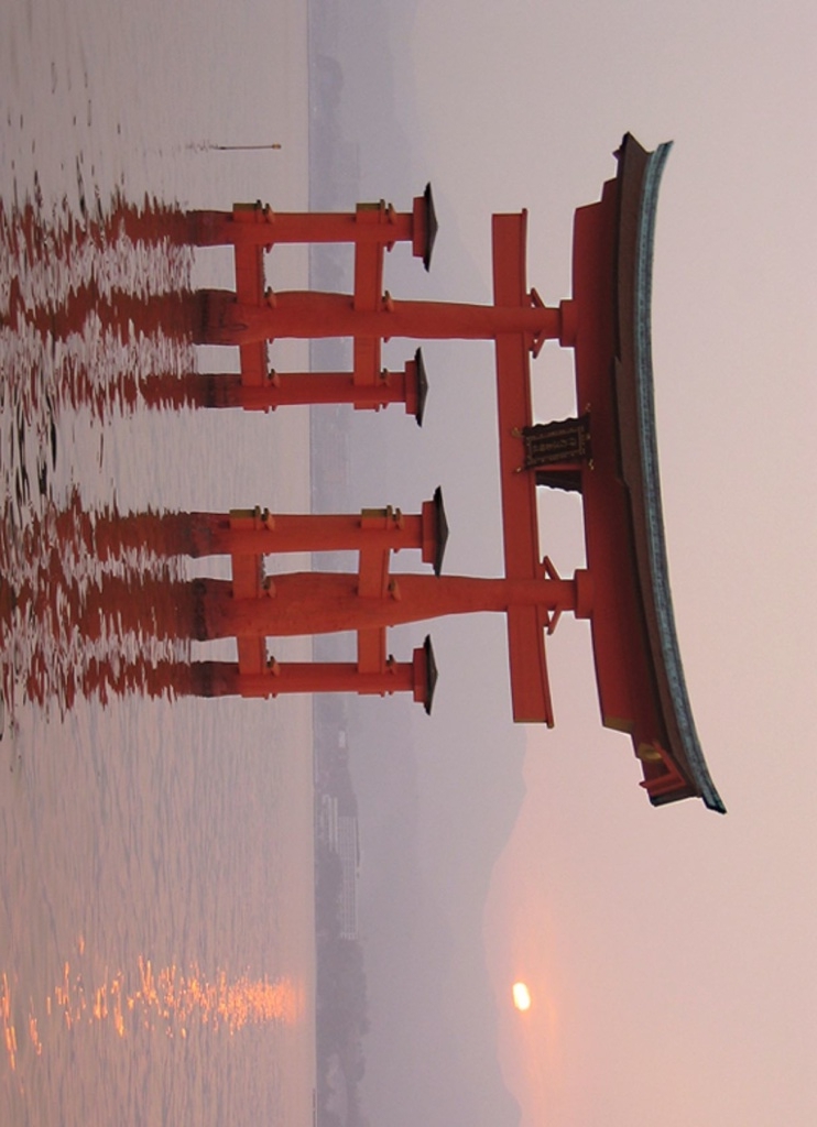
The shrine and its torii gate are unique for being built over water, seemingly floating in the sea during high tide. The shrine complex consists of multiple buildings, including a prayer hall, a main hall and a noh theatre stage, which are connected by boardwalks and supported by pillars above the sea.
Religious significance
Miyajima Island has a long history as a holy site of Shinto. The island’s highest peak, Mount Misen, was worshiped by local people as early as the 6th century. In 1168, Taira no Kiyomori, the most powerful man in Japan at the time, selected the island as the site of his clan’s family shrine and built Itsukushima Shrine.
“The Itsukushima shrine is dedicated to the sanjoshin or “three female deities”, these Shinto deities are the goddesses of seas and storms. . In Japanese, Itsukushima translates to mean ” island dedicated to the gods” In fact, the island itself is also considered to be a god, which is why the shrine was built on the outskirts of the island. Originally Itsukushima was a pure Shinto shrine “where no births or deaths were allowed to cause pollution. Because the island itself has been considered sacred, commoners were not allowed to set foot on it throughout much of its history to maintain its purity. Retaining the purity of the shrine is so important that since 1878, no deaths or births have been permitted near it. To this day, pregnant women are supposed to retreat to the mainland as the day of delivery approaches, as are the terminally ill or the very elderly whose passing has become imminent “. (wikipedia)
We were lucky to see a Shinto wedding ceremony during our visit.
RUSSIA – Ulan-Ude – Baikal -Chita -Chernyshevsk- Shimanovsk – Khabarovsk – Vladivostok
Friday 9th August, 2019 – ULAN-UDE – POSOLSKOYE
We have a long way to go before arriving in Khabarovsk where we are due to meet with friends.
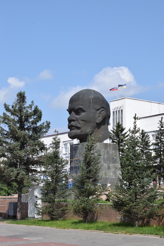
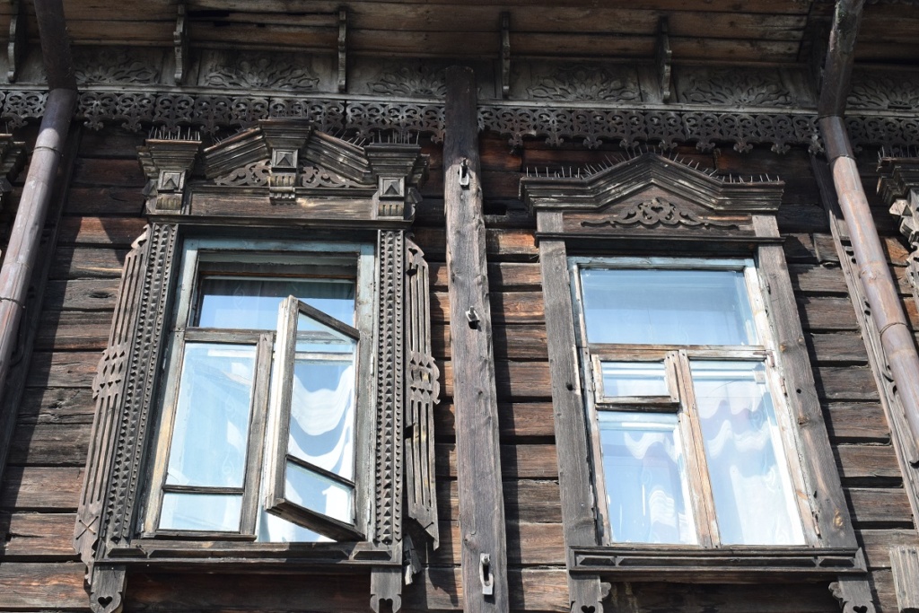
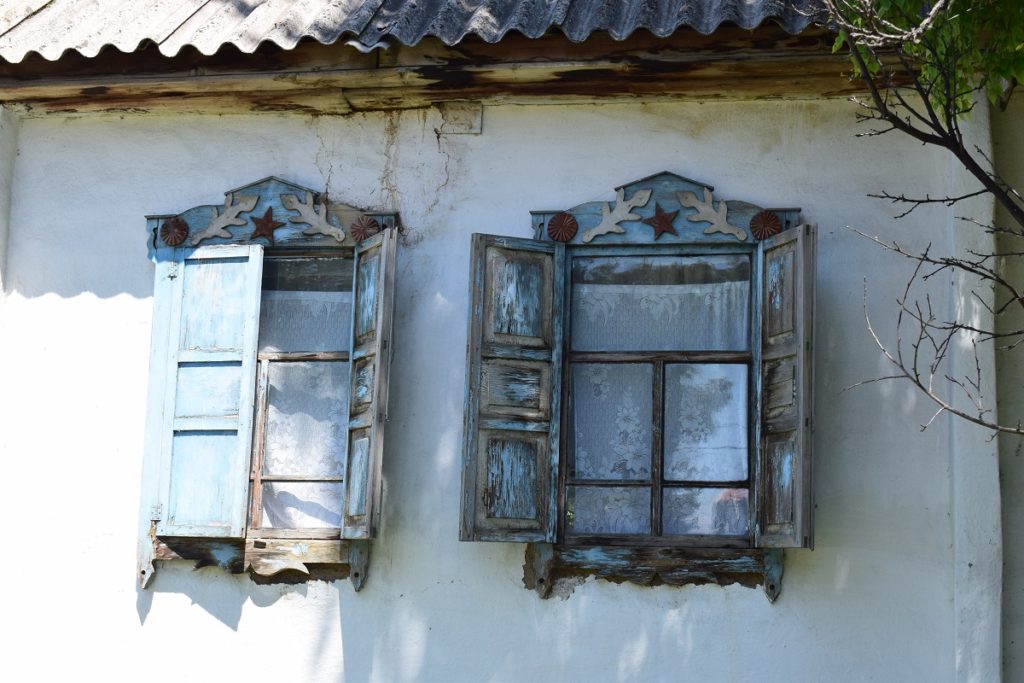
We have a brief stop in Ulan-Ude and park near the main square where we are greated by this impressive monument to Lenin! The 7.7m-high bronze head was installed in 1970 to celebrate Lenin’s 100th birthday and has still the place of honour. A few old buildings have survived and we admire the wood carving around windows, characteristic of traditional russian homes.
We are so “close” to lake Baikal that we do not want to miss it even if it is out of our way. Ideally we would have liked to go to Irkutsk on the western shore but we do not have the time and cannot justify the extra 900km round trip so we settle for Posolskoye, the closest village on the eastern shore accessible from Ulan -Ude.(250km roundtrip).
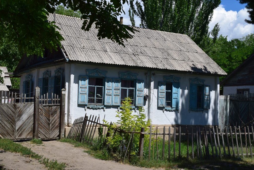
We take the scenic route, going through small villages with typical wooden houses, a front garden enclosed by a picket fence and a small vegetable garden on the side.
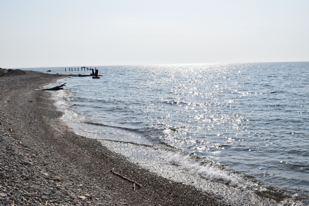
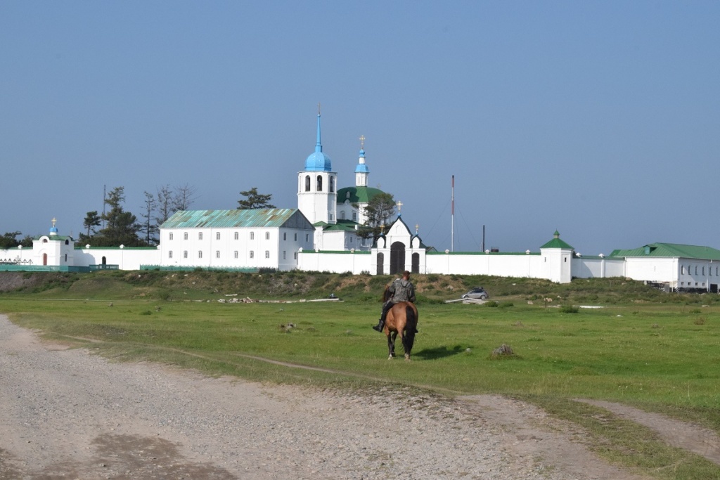
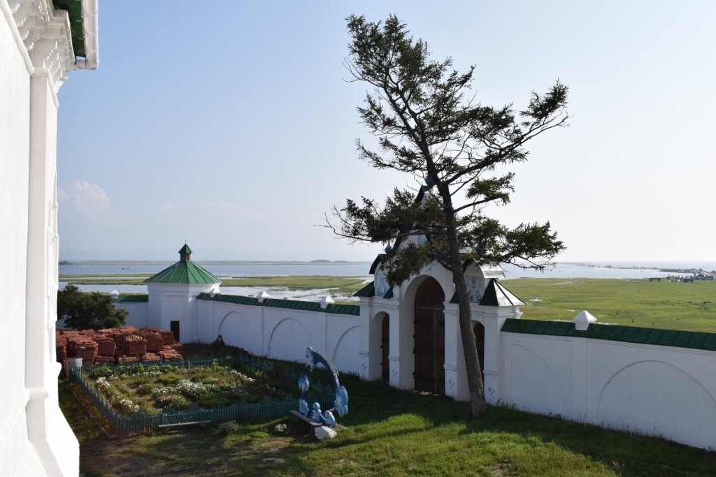
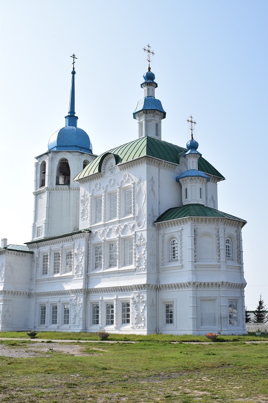
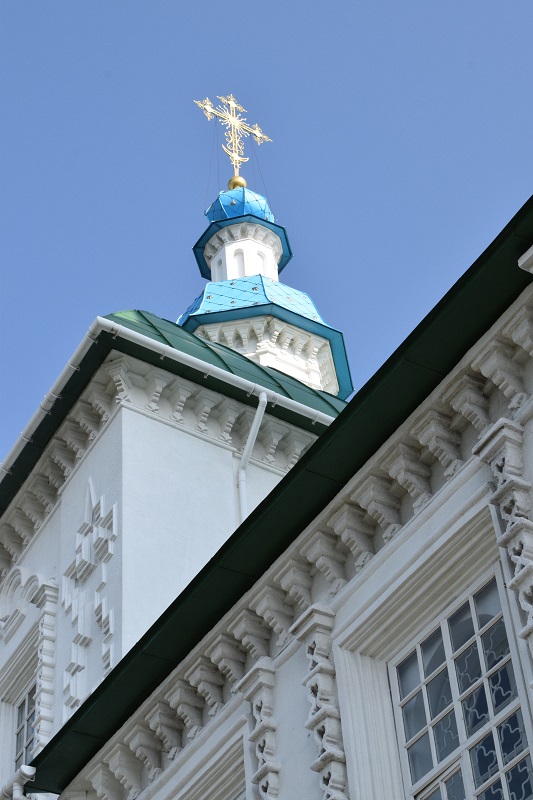
We have a glimpse of the lake before arriving at Posolskoye. We go straight to the beach and see the golden cupolas of the village monastery in the distance.
In 1648, Khan Tsysan, who ruled in the north of Mongolia, sent a request to the Tsar of Russia, to grant him and his men Russian citizenship. In 1650, the Tsar sent his ambassadors led by Zablotsky, to let the Khan know about his favourable decision. However, the ambassadors fell victims to Mongolian bandits. In the place of their tragic death, a chapel was created, which then turned into an Orthodox church and finally a cathedral and a monastery. The village is named after those ambassadors (ambassador = posol in russian)
Saturday 10th August – Thursday 15th August , 2019
Back to Ulan-Ude and carrying on to Chita. There, we could not find accommodation, hotels were full or to expensive so we drove on, after walking around town for a while. We ended up camping in the car park of a rest stop where there was a small shop/ restaurant.The previous night we were driven away from our camp spot by mosquitoes, but this time it was fine.
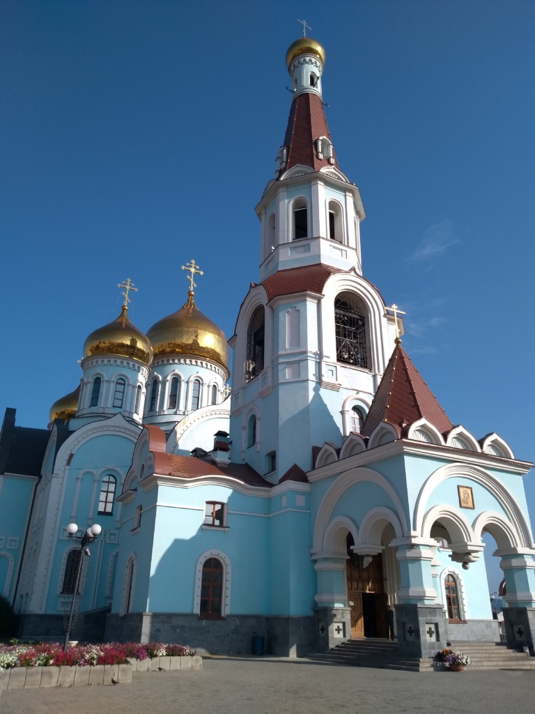
Church of the Kazan Icon of the Mother of God 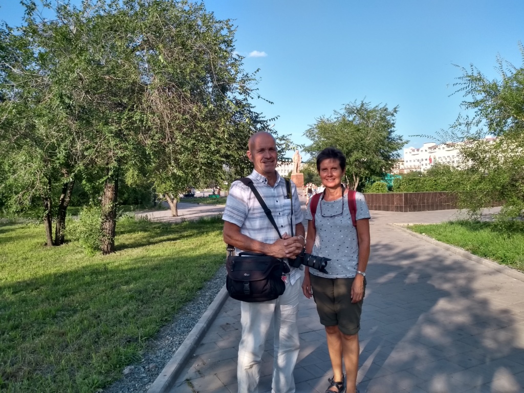
The next stop was Chernyshevsk, small dusty town with not much going for it but we found a ” mini-hotel” ( flat share where each bedroom is rented separately but you share the kitchen and bathroom).
The next couple of days are spent just driving through more typical taiga landscape but now with more birch trees. The forest is very dense and almost impenetrable. There is open land here and there but mainly it is forested. We alternate camping and staying in roadside motels as the weather has turned to heavy rain.
Friday 16th August – Friday 23rd August, 2019 – KHABAROVSK
Arrived in Khabarovsk late morning . There is heavy rain as the city is on the path of the recent typhoon which hit northern China. We check in at the flat we rented for the week and later we get bad news from the Nissan dealer where we left the car for a full service: the steering rack is leaking and needs replacing. ( this is the part we had refurbished in London last year!). The garage manages to find a new part ( made in thailand so cheaper than a Nissan part) and we book the car for the repair.
The flat is not far from Lenin Square and we have a walk round the centre, down one of the main streets leading to the bank of the river Amur. On Sunday night we meet with our friends Sergei and Olesia and their family. It is a long awaited moment and we are so happy to finally be in their home town. It is something we had dreamed of when we first met 4 years ago in London and here we are !
We have an enjoyable evening and we discuss the plan for the rest of the week. Unfortunately because of the weather we have to abandon the plan to have a BBQ at Sergei’s parents datcha but we agree on having a fishing trip on the river Amur.
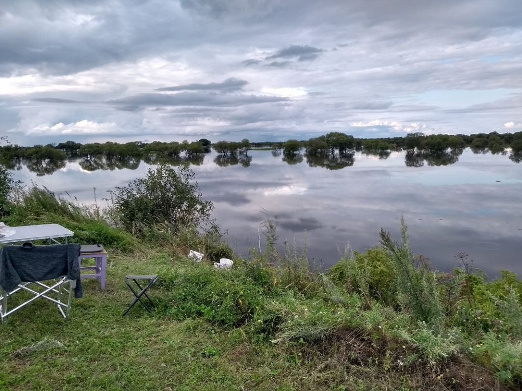
There is lots of flooding but Sergei’s dad is a keen fisherman and he knows all the best spots. We go the following afternoon . The river has burst its banks and tree tops emerging from the water are the only indication of where the river actually is. We go on a ride in Sergei’s dad zodiac and come back with enough of a catch to make fish soup!
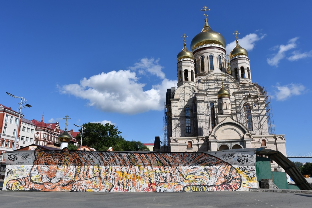
In the end we have a couple of days with decent weather and we have a nice evening strolling along the bank of the Amur, riding the ferry’s wheel, admiring the sunset over the Transfiguration Cathedral. ( third tallest church in Russia, bult in the early 2000’s on a hill near the river. Its spectacular location was chosen by the Patriarch of Moscow, Alexis II, during a helicopter flight over Khabarovsk).
We also go for 2 interesting visits: 1) the Grodekov Museum ( Khabarovsk territory museum presenting exhibits devoted to Far East flora and fauna, the Amur River different fish, culture of indigenous peoples and Slavs-settlers and history of Russian Far east development). The guided tour gave us an insight and better understanding of the region development and; 2) the Museum of the Bridge of the River Amur. This may seem an odd choice but our guide was very passionate and knowledgeable on his subject and the technical, human and political problems raised by the construction of the first bridge were made real. Built in 1916, over 2.5 km long, it was the last remaining challenge to be overcomed when constructing the Trans Siberian railway. The structure remained the longest bridge in Imperial Russia, Soviet Union and Asia for decades. There are also lots of exhibits and a section of the old bridge { one of the original 18 spans) has been kept for show. You can climb up to it and have a view over the current bridge which is both for car and train.
We have a farewell dinner with some of Olesia’s friends and family ( Nadia, thank you for having us!) and alas it is time for us to say good bye.
Saturday 24th August – Thursday 29th August, 2019 – Vladivostok – Donghae (Korea)
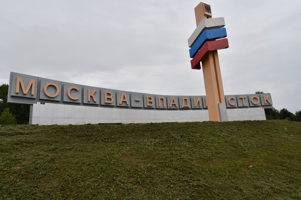
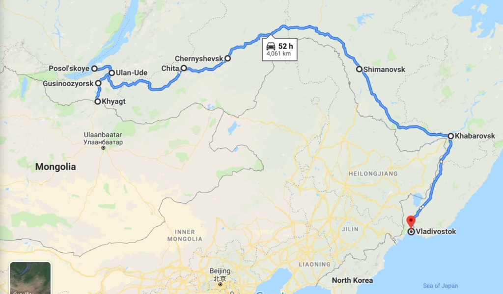
We still have over 800 km to go to reach Vladivostok where we are due to go on a ferry to cross over to Japan via Donghae in South Korea.
We arrive on Sunday morning and go to the shipping agent office first thing on Monday so as to do all the formalities for the temporary import of the car to Japan. Pretty straight forward but costly! We have to leave the car in a bonded warehouse until we leave on Wednesday.
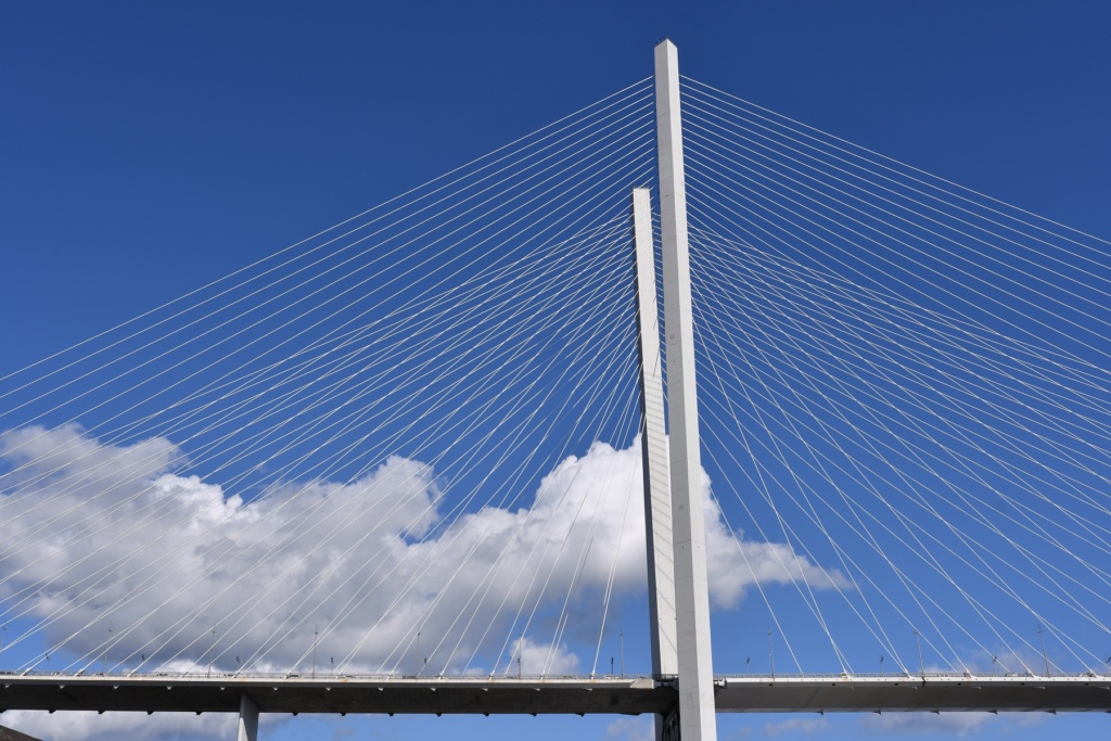
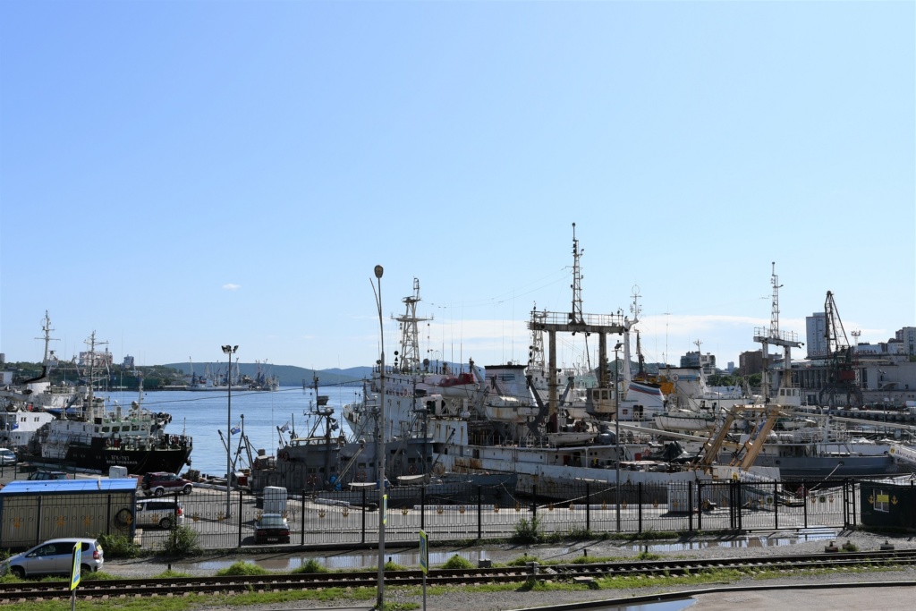
On Tuesday, we go to Russian Island with Igor ( Olesia’s friend) but the weather is dreadful with heavy rain and we cannot go out of the car. Nowadays the island is accessible via a new impressive suspension bridge and has been re-invented as a business and academic centre (home to the Far East Federal University campus). Its military past though is still visible and you can visit the old bunkers spread all over the island where defense batteries were posted .
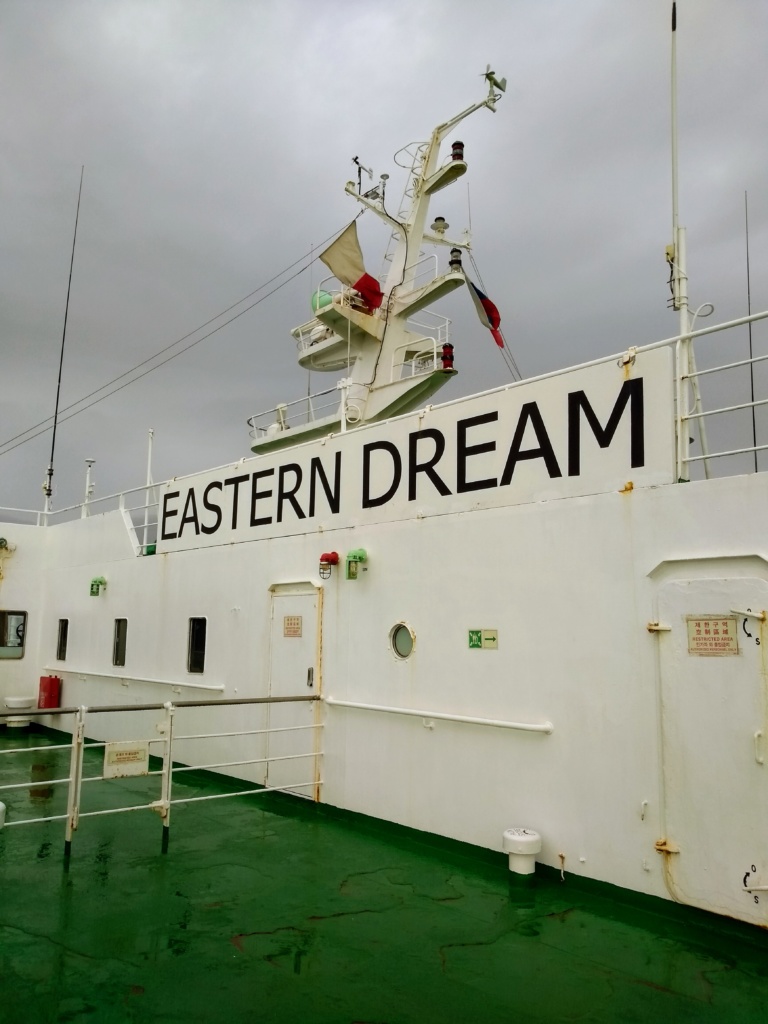
On Wednesday, we board the ferry for the 2pm departure, hoping the car has been loaded too ! This is a Korean ferry called the Eastern Dream and the boat is full of young koreans returning home after a short visit to Russia. There is a small bar and a restaurant ( open for 1 hour only at dinner time and you need to buy a meal ticket first) and of course a karaoke lounge and discotheque ( still very popular in Korea and Japan).
We leave the port passing the lighthouse marking the last landpoint of Russia (this is currently submerged but you can normally walk to itfrom the shore) and we start the first leg of this long crossing: 20 hours to Korea, followed by another 16 hours to Japan. ( with a 5 hour stopover in Donghae). In the end the journey is uneventful apart from some rough sea and a spectacular storm with thunder and lightning the first night.
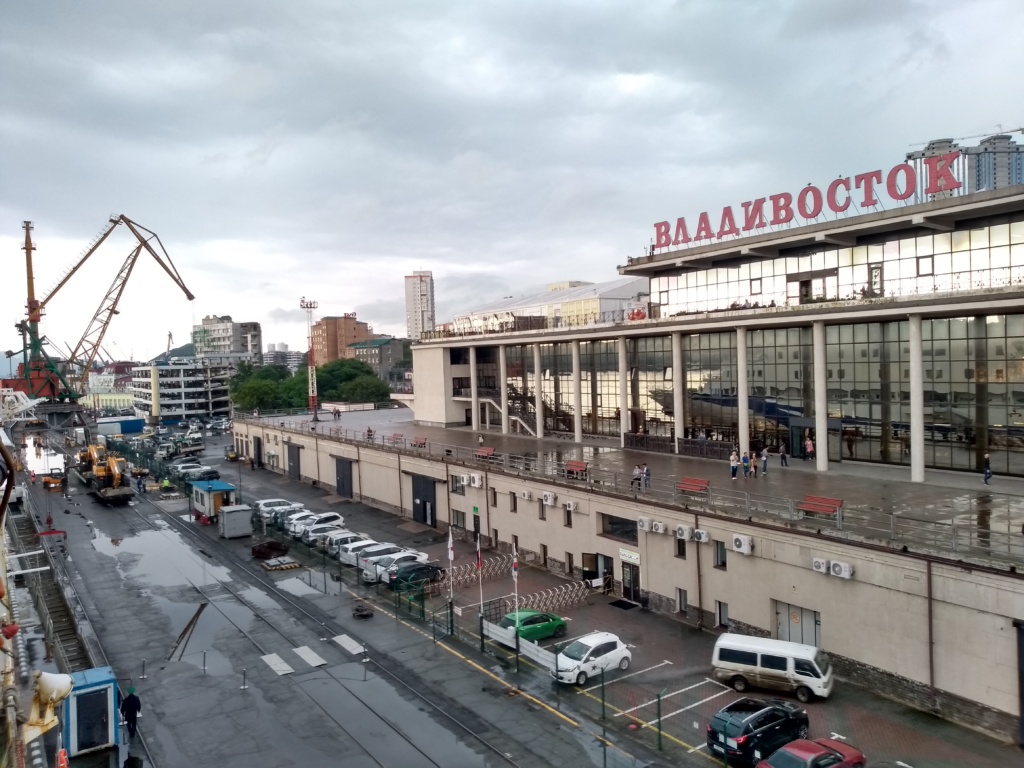
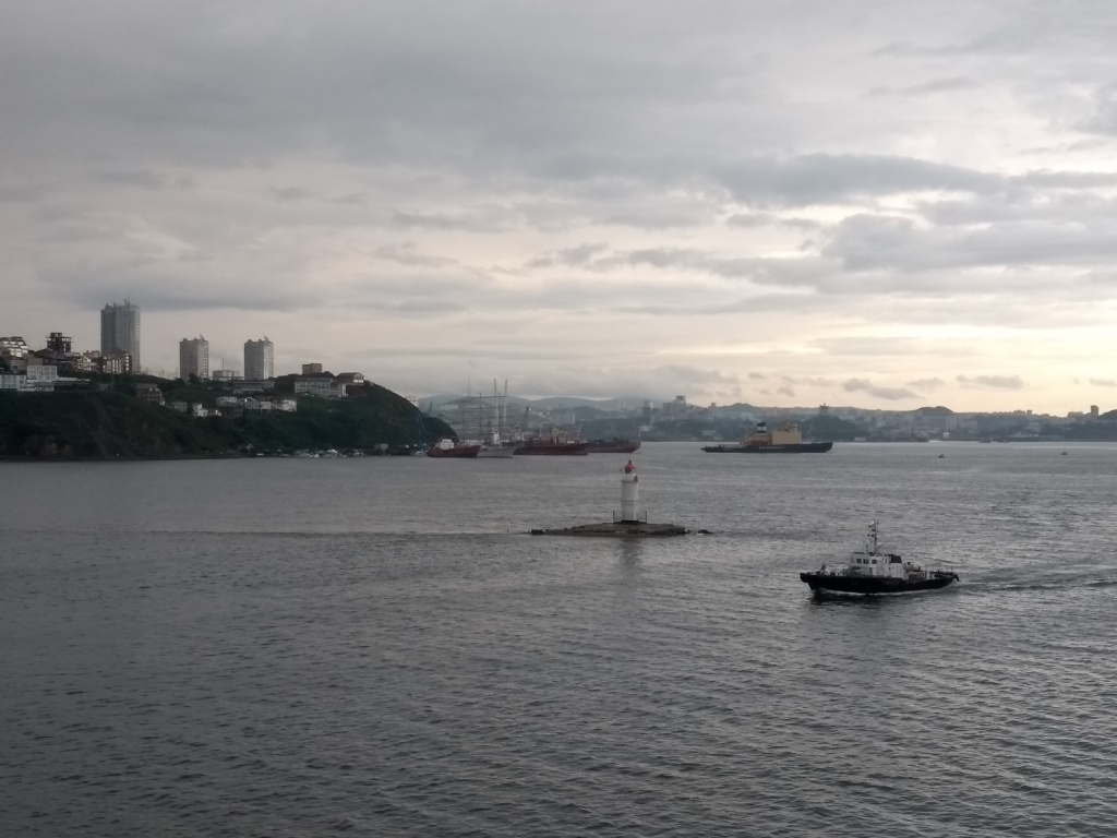
lighthouse showing the last point of land
We finally arrive at Sakaiminato, Japan on Friday Morning around 9.30 am.
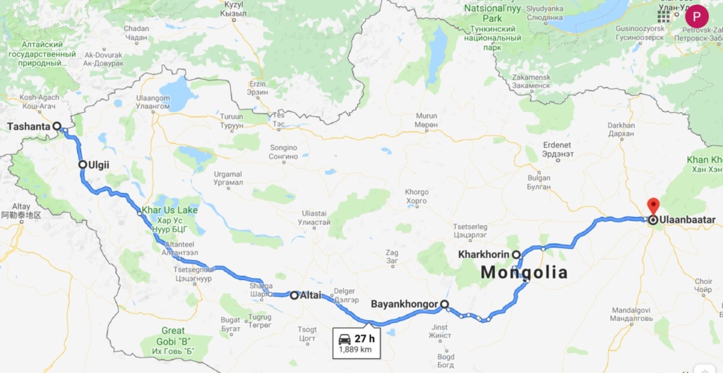
MONGOLIA – Olgi – Bayankhongor – Kharkhorin – Ulaanbaatar
Wednesday 31st July, 2019 – OLGII
There is a 26kms no man’s land between the Russian and Mongolian borders and the road is unpaved but not too bad. The border post is at the top of the Durbet-Daba pass (2,482m). The weather was overcast and we felt the chill: down to 12 C…
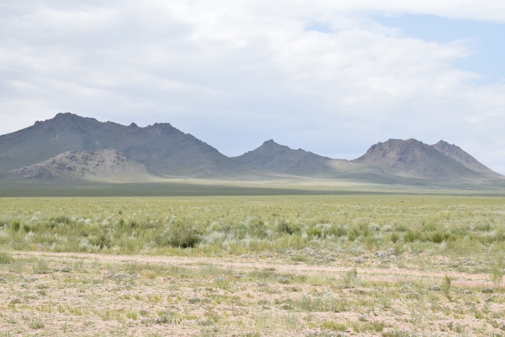
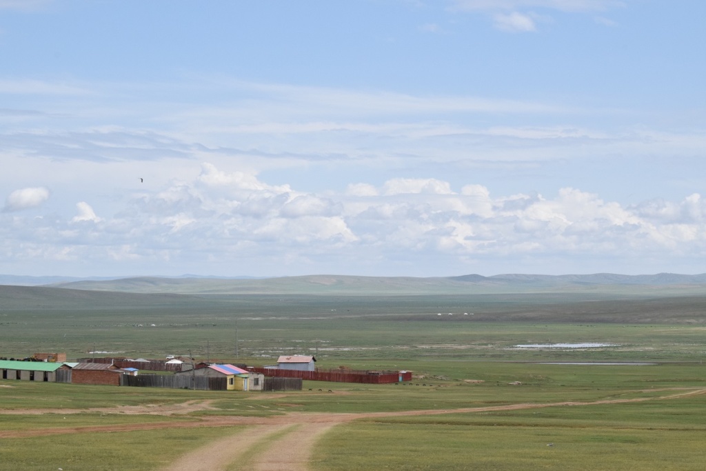
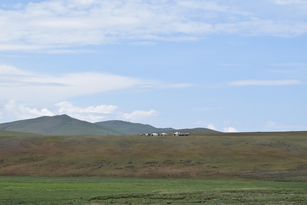
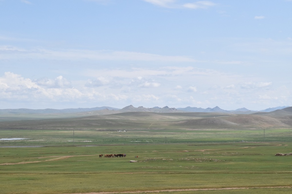
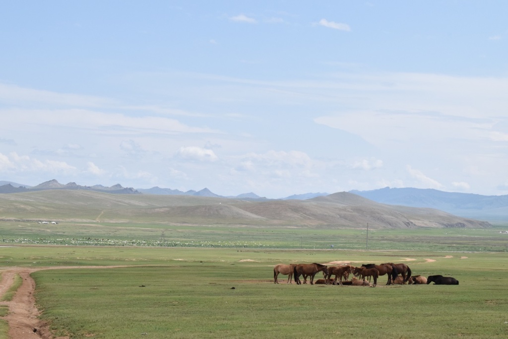
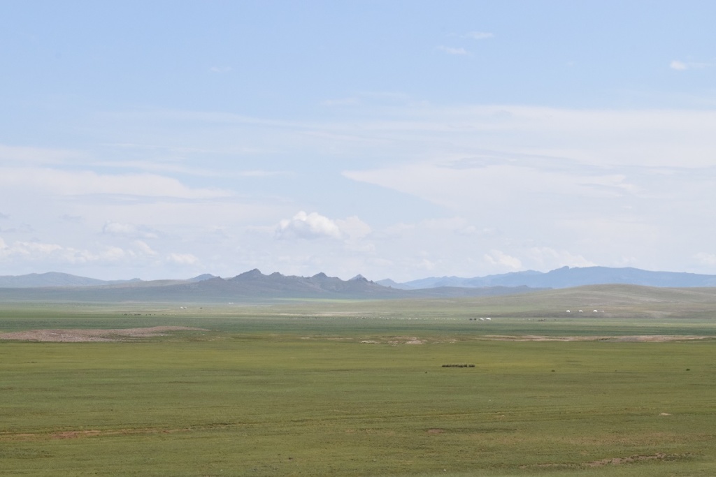
We then had well paved road all the way to Olgii where we stayed for the night. We saw the change in the landscape with vast plains covered in short green grass, no trees and devoid of inhabitants. Mongolia counts 3million people and half the population lives in the capital, Ulaanbaatar!
Thursday 1st August, 2019 – KHOVD – ALTAI
We continued on our way to the capital, some 1,700 kms away. Surprisingly the road is very good and we almost make it to Altai before stopping for the night . The scenery changed from green steppe to desert and the temperature is back in the 30C.
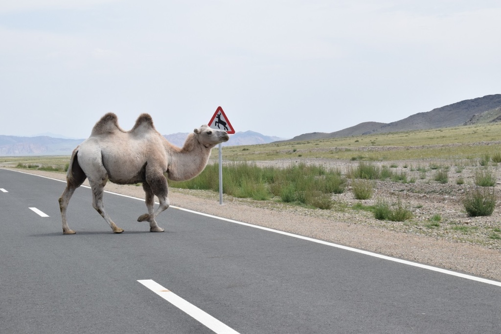
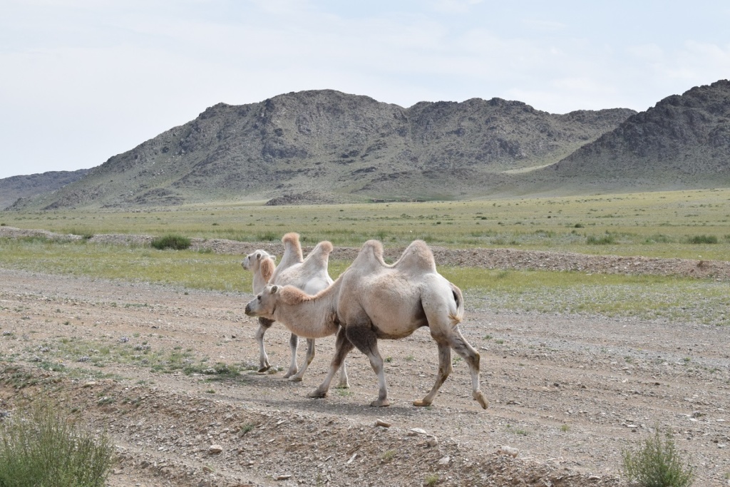
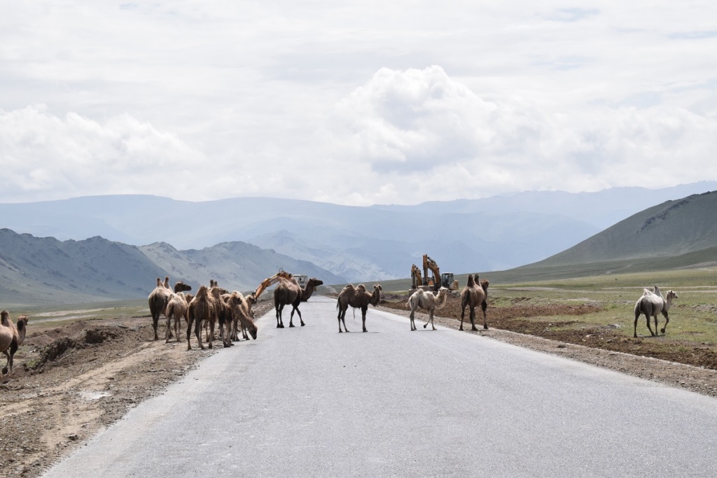
Saw our first two-humped camels. They are raised as cattle and move in packs. This is one of the dangers on the road. Animals move freely and it is not unusual to have horses, cows, sheep and camels crossing what is the equivalent of the highway or even lying on the road!
Friday 2nd August, 2019 – Bayankhongor
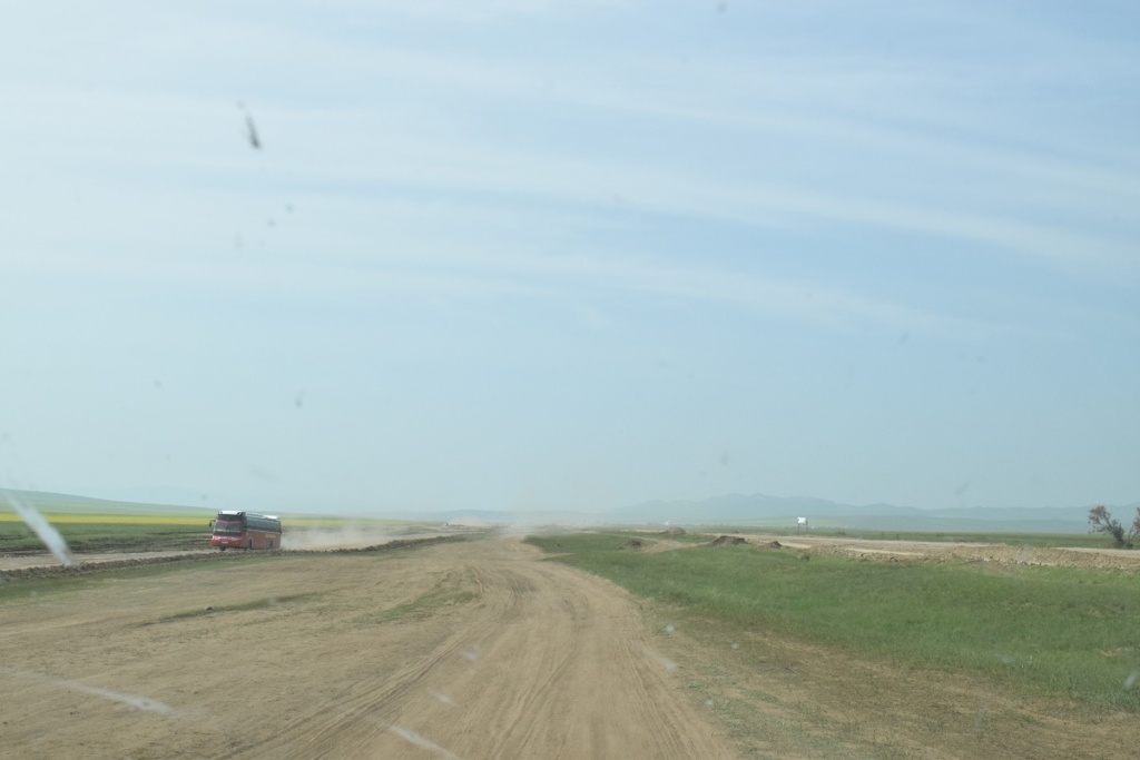
It was too good to be true…. the road turned to dirt road not long after Altai. Our map and Satnav were showing the main “Southern Route” ( highway) continuing all the way to Bayankhongor but the actual road was further north and was not great, i.e a collections of dirt tracks all more or less following the same direction but sometimes confusing as there might be 4 or more tracks at the same time and it is not always obvious if they will all rejoin eventually.
As we found out repeatedly over the next few days, the main road is under major repair and it is shut to traffic for long stretches. In this case, temporary roads are created by cars and lorries going over the “fields”. The tracks quickly deteriorate and new ones are created by cars avoiding the potholes, puddles and the likes. You end up with situations where you can have 3 or 4 cars passing each other in different directions and all at the same time, all this in a huge cloud of dust where you can barely see the ground…. After more than 150km of bumpy road, we finally rejoined the asphalted road, not long before Bayankhongor.
Saturday 3rd August, 2019 – KHARKHORIN
Thankfully, the road is mostly paved today and we arrive late afternoon. The weather though is not so good so we decide not to camp today and find a hotel not far from the main attraction in Kharkhorin: the Erdene Zuu Complex ( Buddhist monastery).
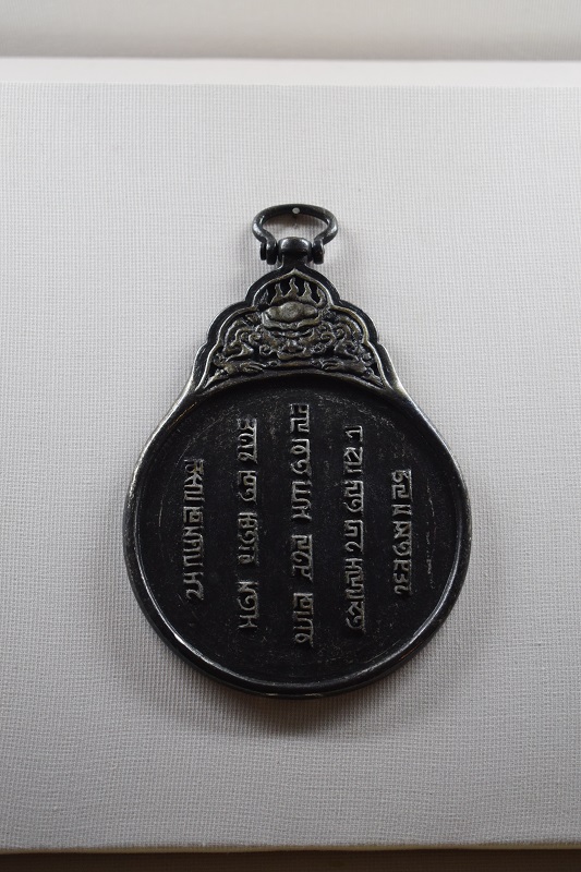
Geographically, Kharkhorin is more or less at the centre of Mongolia. Nearby are the ruins of the ancient town of Karakorum (also known as Kharkhorum or Qara Qorum) which, for a short time (early 13th century), served as the capital of the Mongol empire under Ogedei Khan (third son of Genghis Khan). Important archeological finds were made in the region, notably a tomb dating from the 6th century where pottery and gold trinkets were burried and you can learn all about the Mongol Empire at the Town museum which is small but has numerous artefacts, all well displayed and labelled in english.

Sunday 4th August, 2019 – Kharkhorin – Shankh
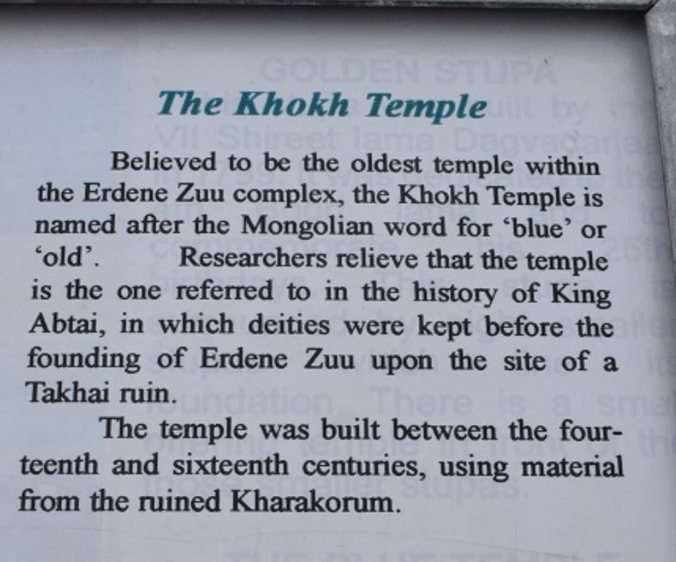
The main attraction of the town though are the remains of the 16th-century monastery, Erdene Zuu Khiid which offer some evocative insights into the region’s golden era .
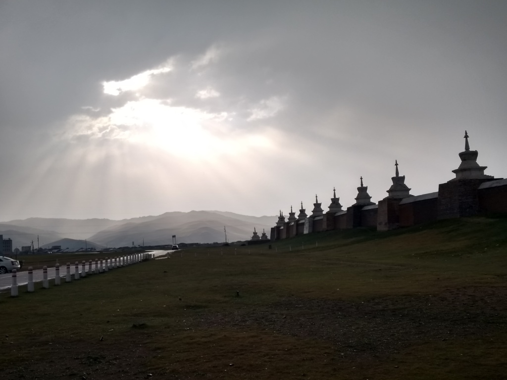
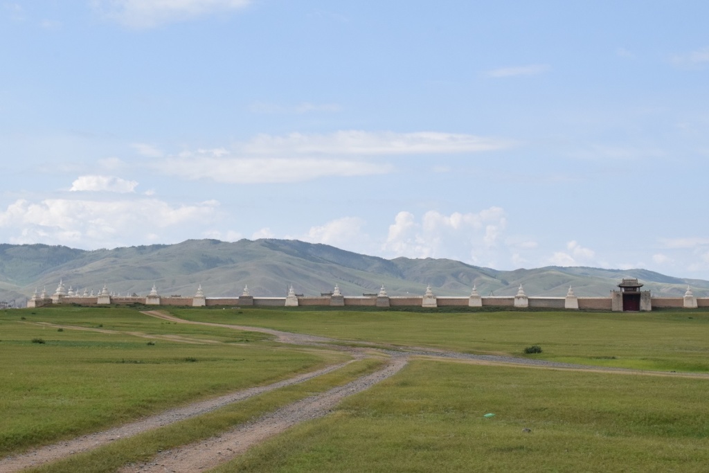
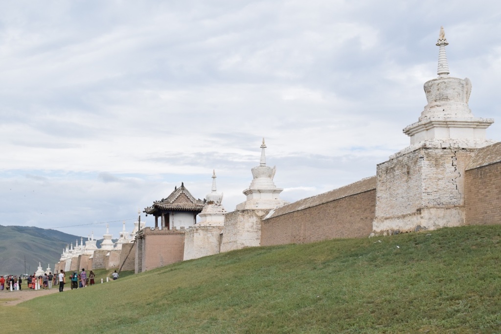
Founded in 1586 by Altai Khaan, Erdene Zuu (Hundred Treasures) was the first Buddhist monastery in Mongolia. The monastery went through periods of neglect and prosperity until finally the Stalinist purges of 1937 put it completely out of business. Religious freedom was only restored after the fall of Communism in 1990 and the monastery became active again . Today Erdene Zuu Khiid is considered by many to be the most important monastery in the country, though no doubt it’s a shadow of what it once was. At its peak, it had between 60 and 100 temples, around 300 gers inside the walls, and up to 1000 monks in residence. All but three of the temples in Erdene Zuu were destroyed during the purges and an unknown number of monks were either killed or sent to Siberian gulags.
The monastery is enclosed in an immense walled compound. Spaced evenly along each wall, about every 15m, are 108 stupas (108 is a sacred number to Buddhists).
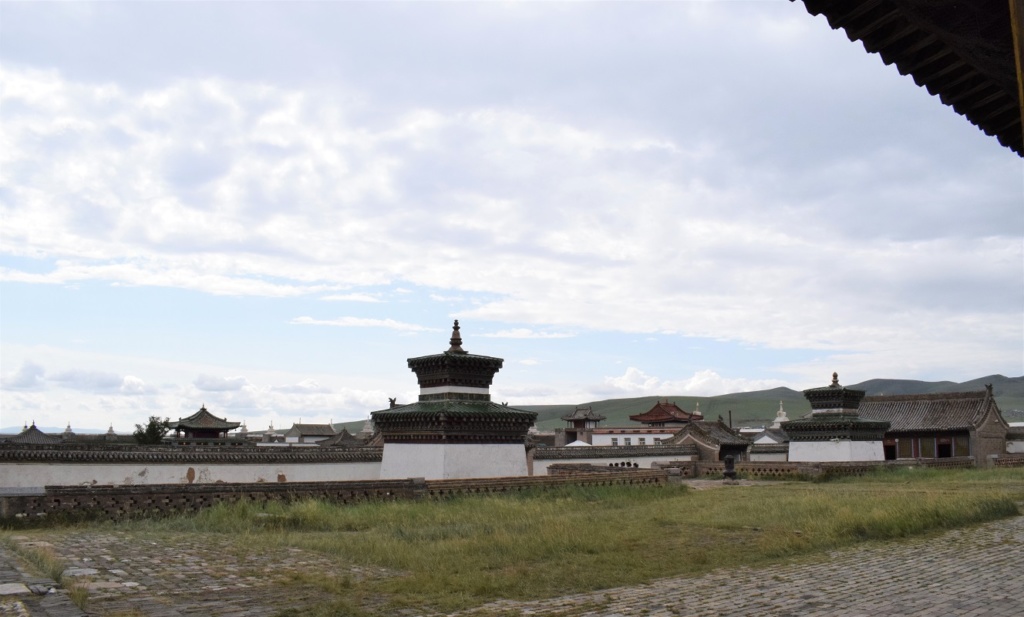
Inside the compound
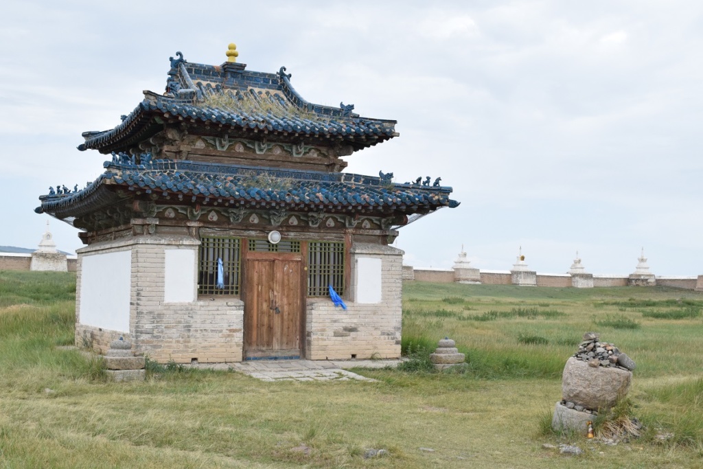
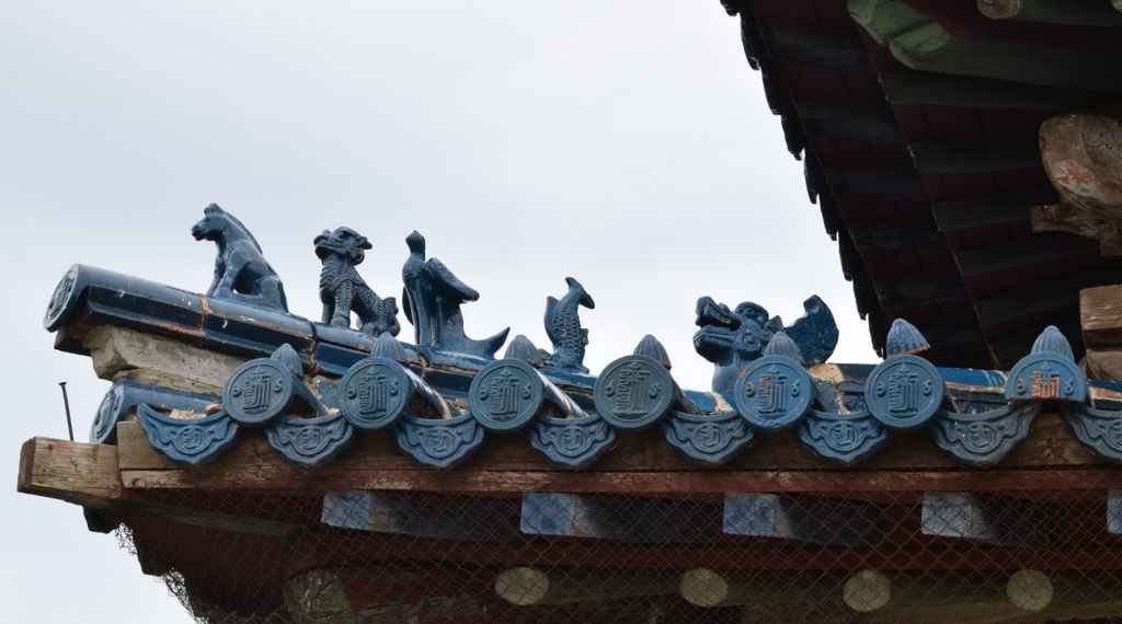
The three temples in the compound – Zuu of Buddha, Zuun Zuu and Baruun Zuu – which were not destroyed in the 1930s, are dedicated to the three stages of Buddha’s life: childhood, adolescence and adulthood.
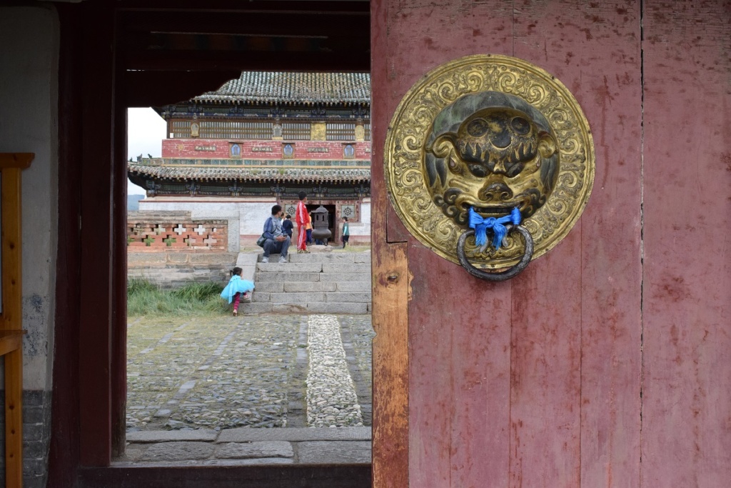
Inside each temple are a number of statues and masks, mainly from the 18th century.
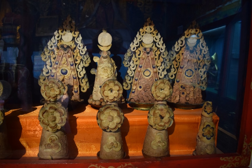
These balin (wheat dough cakes, decorated with coloured medallions of goat or mutton fat), made in 1965 (when the Monastery first re-opened but could not run as a religious centre) are still well preserved .
Ceremonies are held every morning by resident monks in a white tibetan temple “Lavrin Sum”and visitors are welcome to attend (no photos inside).
This small temple can also be found in the monastery complex.
Although some religious fervour is shown by visitors, the site is on the tourists ” to do” list and inevitably you have a number of shops just outside the compound selling all kind of cheap souvenirs. One of the favorite activities for locals seems to be dressing up in old traditional clothes and have their picture taken.
Shankh Monastery
We leave Kharkhorin early afternoon but stop on the way at the Shankh Monastery, 25km away. The Shakh Monastery is one of the oldest and most important monasteries of Mongolia. It was founded in 1647 by Zanabazar who was the first Tibetan Buddhism’s religious leader. The monastery belongs to the Yellow Hat Sect, “Gelugpa”, which is a school of Tibetan Buddhism. Its main temple is famous for its seven Kalachakras mandalas that represent the 722 Kalachakra divinities, absolutely unique in Mongolia.
In the 1920’s it was composed of about twenty edifices and housed more than 1500 lamas but greatly suffered from the violent Stalinist purges in 1937 and only the main temple survived. Fortunately, most of the precious religious relics of the monastery had been removed and hid by one of the novices and thus, survived the destruction.
Scenery on the way to the Monastery and further along the road.
Monday 5th August, 2019 – ULAANBAATAR
Arrived in Ulaanbaatar midday. It has been raining since yesterday and the streets are disappearing under large puddles. There does not seem to be any drains or they cannot cope and the water has nowhere to go. The pavements ( when there are any) are a sea of mud, especially in the back streets.
We check in the flat we booked only to find out that there is no hot water. This is a common occurence in summer in Russia and former Soviet Republics as this is the time when the annual overhaul of the heating system is carried out and hot water is turned off for whole blocks at a time. This can last for days. Our host is very apologetic. The temporary electric shower system she had in place has broken down but she agrees to provide a new one and true to her words, she comes round in the evening and install a new one. She even brings us a welcome bag of groceries and we have a nice chat. ( Thank you Tuul !)
Tuesday 6th August, 2019 – ULAANBAATAR
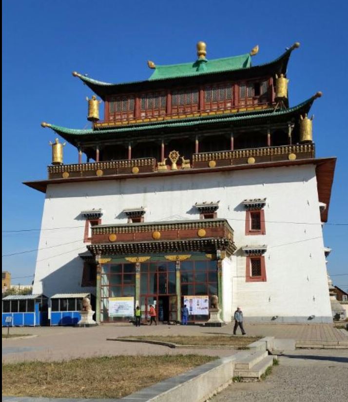
The flat is near the Gandantegchinleng Monastery ( translates roughly as ‘the great place of complete joy’) and we stop there on the way to the centre.
Built in 1838, today it remains an important religious centre for the whole country with a Mongolian Buddhist University (established in 1970); three colleges of Buddhist philosophy; a Medical and Astrological College and several temples. More than 600 monks are in residence and the university attracts students from abroad.
The main attraction of the site is the white Migjid Janraisig Süm and the Migjid Janraisig statue.
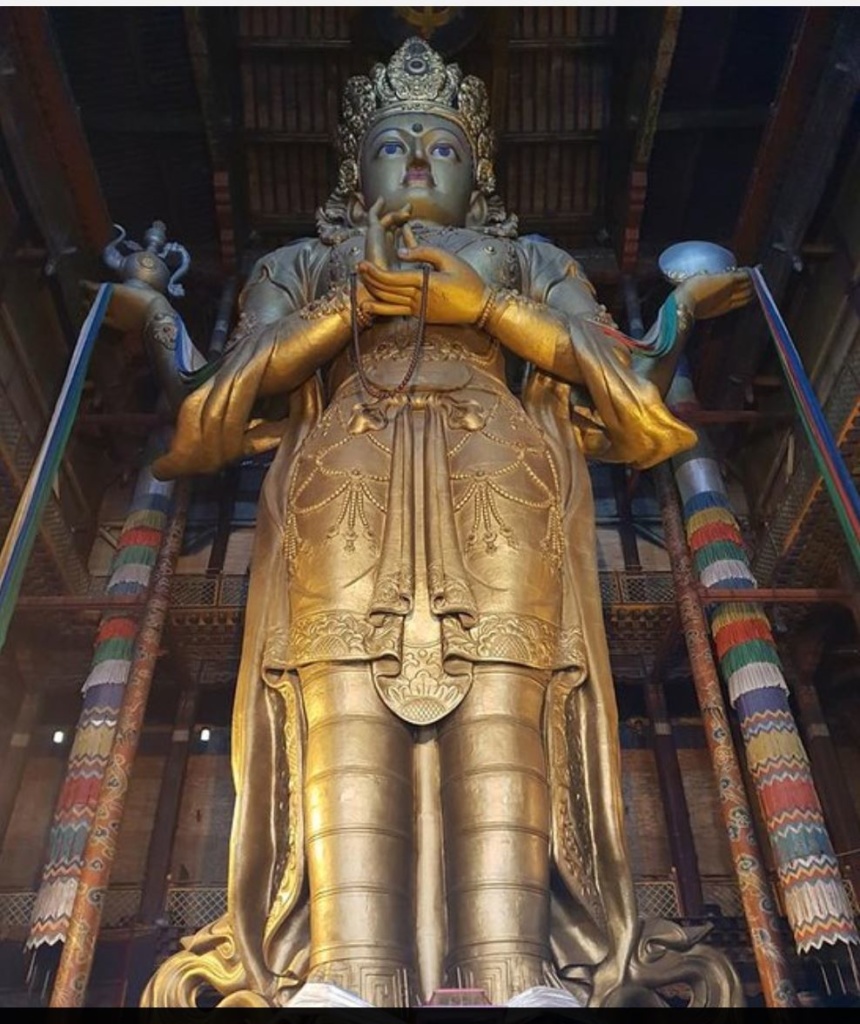
It is 26m high and made of copper with a gilt gold covering. The hollow statue contains 27 tonnes of medicinal herbs, 334 Sutras, two million bundles of mantras, plus an entire ger with furniture!
Ulaanbaatar is a cosmopolitan city with a mix of modern and old, businessmen in expensive suits run along nomads just arrived from the steppes. One minute you are in a whirlwind of traffic and bustling activity and the next in the peaceful surrounding of the grounds of a temple listening to chanting Bhuddist monks.
The temples which survived the purges of the 1930’s are now lost among skyscrappers.
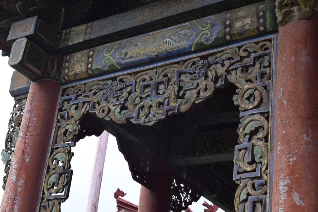
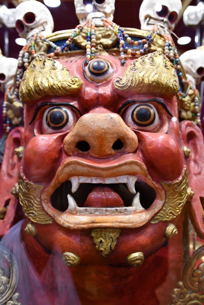
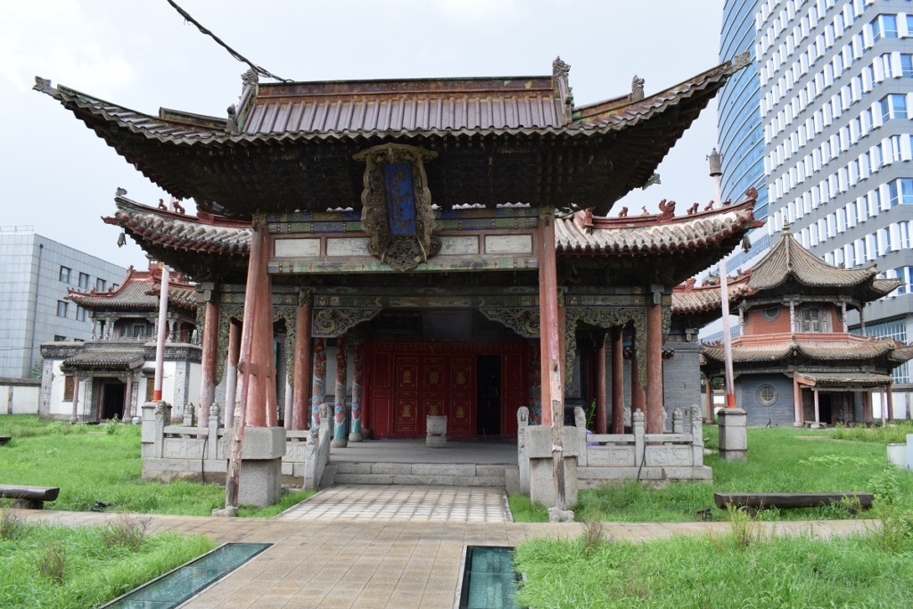
Choijin Lama Museum
Wednesday 7th August, 2019 – ULAANBAATAR – Tsonjin Boldog
We went for a day excursion to the Ghengis Khan (Chinggis Khan in mongolian) statue.
In 2008, a gigantic statue of Genghis Khan riding on horseback was erected on the bank of the Tuul River at Tsonjin Boldog, 54 km east of the Mongolian capital Ulaanbaatar, where according to legend, he found a golden whip.
The statue is 40 meters tall and wrapped in 250 tons of gleaming stainless steel. It stands on top of the Genghis Khan Statue Complex, a visitor center that itself is 10 meters tall, with 36 columns representing the 36 khans from Genghis to Ligdan Khan. The statue is symbolically pointed east towards his birthplace.
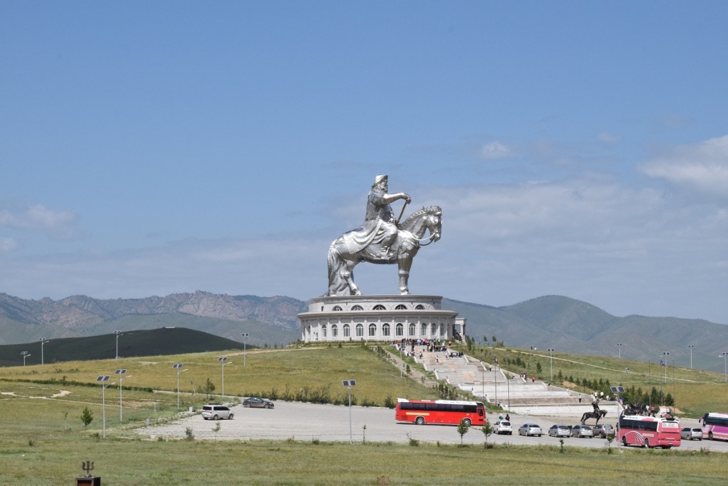
The Chinggis Khan Statue is currently the biggest equestrian statue in the world.
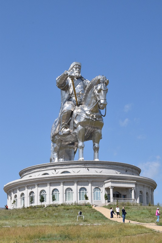
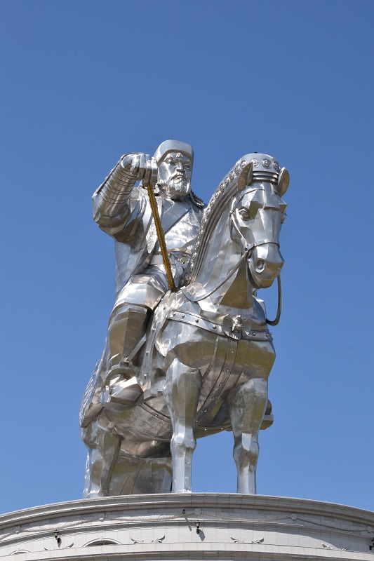
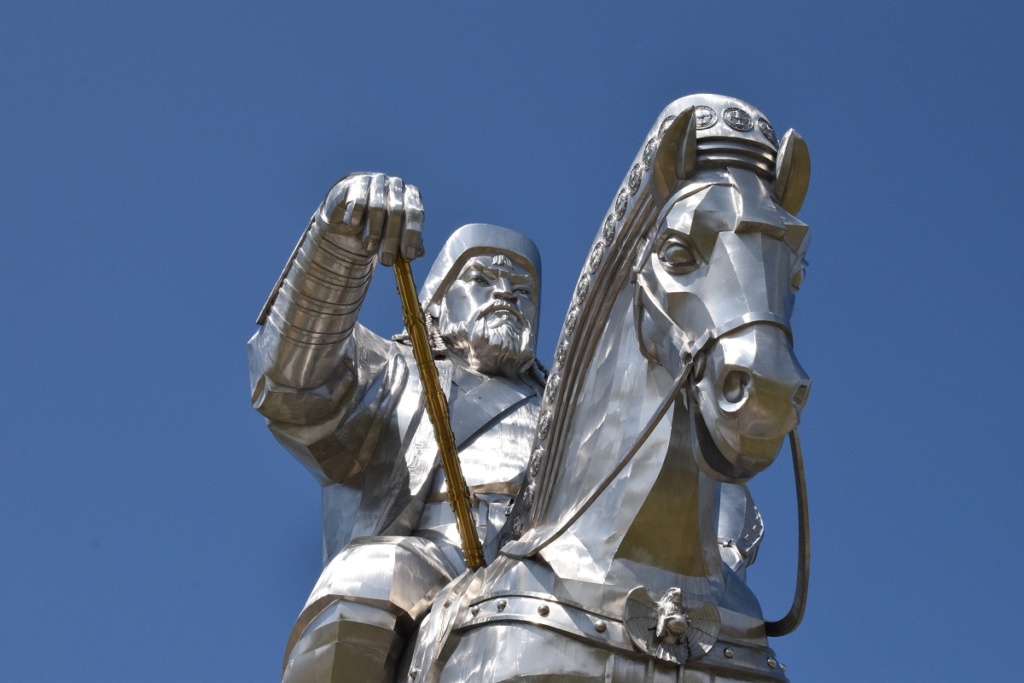
Ghengis Khan
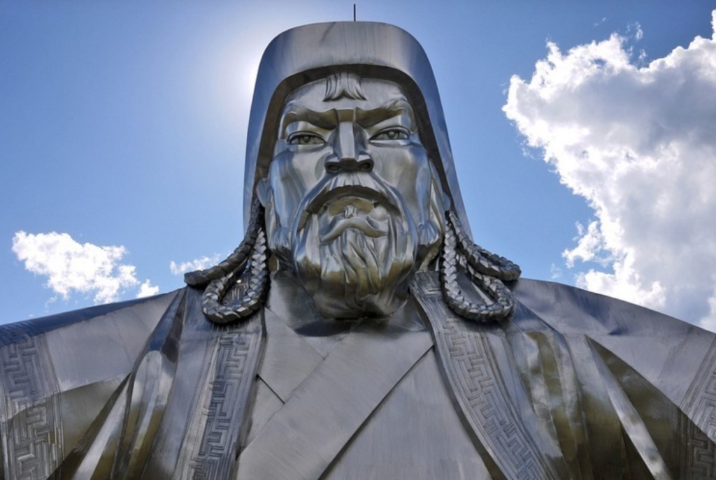
On the way back to Ulaanbaatar we made a detour to the Gorkhi-Terelj National Park to see some interesting rock formations. The park is a popular destination due to its proximity to the capital and we found it too touristic for us with too many yurt camps and resorts.
We made our way back to UB and visited the Bogd Khan Museum. This was the winter palace built between 1893 and 1903, where Mongolia’s eighth Living Buddha, and last king, Jebtzun Damba Hutagt VIII (often called the Bogd Khan), lived for 20 years, until his death in 1924.
There are six temples in the grounds; each now contains Buddhist artworks , notably some statues by Zanabazar ( 17th century) known for his intricate and elegant Buddhist sculptures .
The Palace itself is a white Western-looking building where Mongolia’s Declaration of Independence (from China in 1911) and a collection of gifts received from foreign dignitaries, such as a pair of golden boots from a Russian tsar, a robe made from 80 unfortunate foxes and a ger lined with the skins of 150 leopards are among the exhibits.
Thursday 8th August, 2019 – Khyagt – Russian border
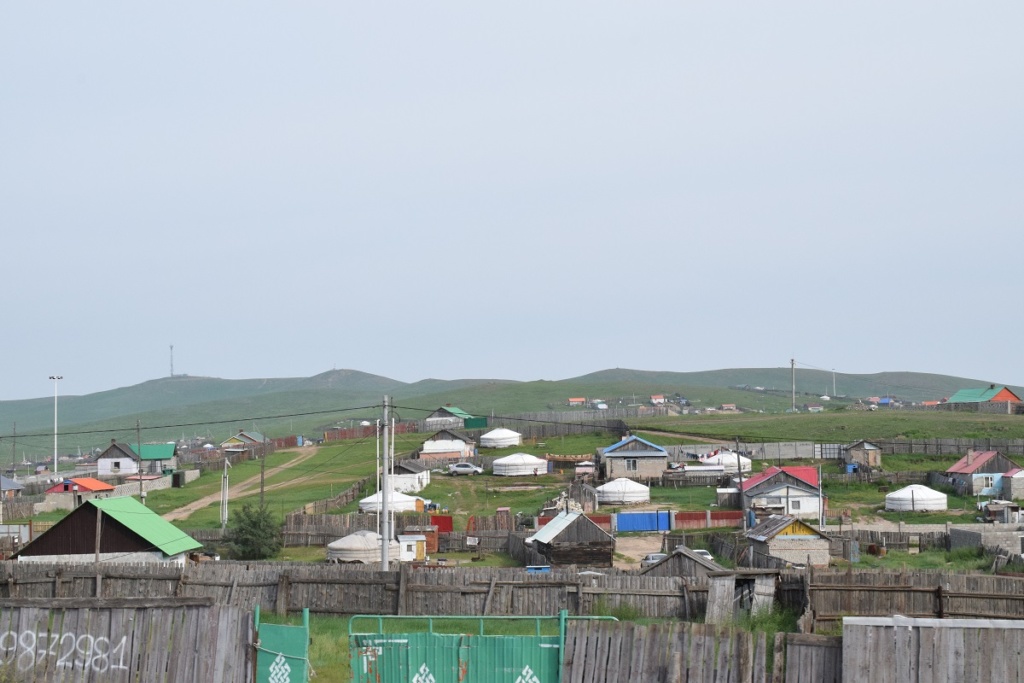
We leave Ulaanbaatar, going through the suburbs where gers are frequently the only structure on individual plots of land: a sign that the Mongolians are still very attached to their ancestral nomad origins and prefer a ger to a house.
The intention today was to drive as close to the border as possible and cross tomorrow but in the end we arrive at the border at 6pm and decide to cross. There is a long line of buses and lorries but not so many cars. We have to wait for a while before being allowed in the border compound. Once inside, it is the usual running around from passport control to customs offices and car search: total 3 hours. It is getting dark but we carry on. It is now too late to set up camp and we end up in a small industrial town called Gusinoozyorsk where we find an old soviet style hotel.
RUSSIA
Tuesday 30th July, 2019 – SHEMONAIKHA – BARNAUL- BIYSK- MAYMA
We have to go via Russia to enter Mongolia. There is a narrow strip of land belonging to Russia between Kazakhstan and Mongolia and this means having to do a 1,200 kms detour just to get to the Mongolian border. There are some border crossings on the eastern side of Kazakhstan, much closer, but they are bilateral only.
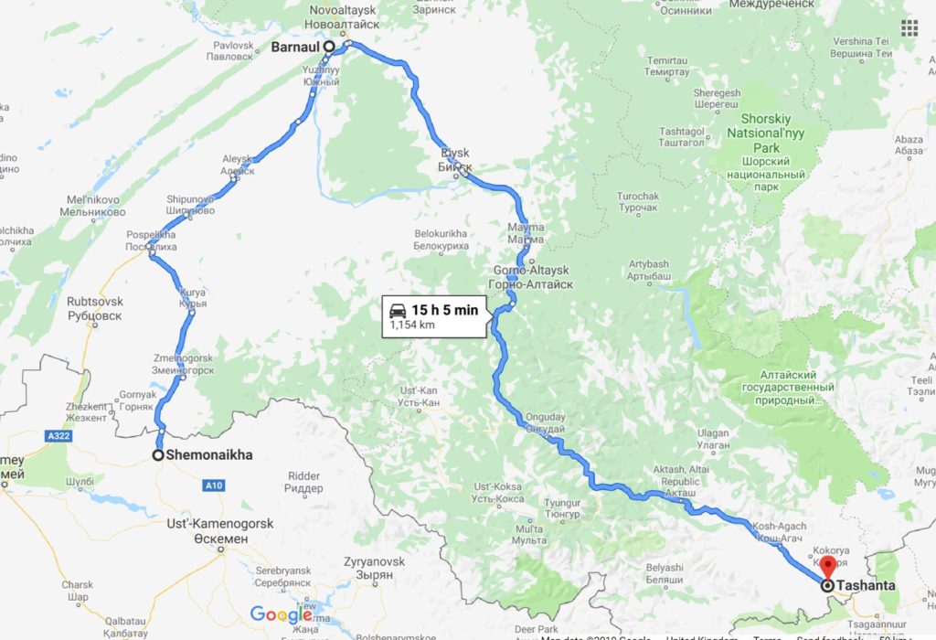
We arrived at the Kazakh border crossing before 8 am and the formalities went smoothly. Shemoinaikha is a small post and it was not busy. Russian border also went well and this worked in our favour, giving us most of the day to go as far as possible.
The road was surprisingly good and it was a relief. We were now in the Russian Altai region (southern Siberia). The landscape was also a nice surprise, initially we went through a fertile area with huge fields and as we passed Barnaul large forest covered the hills/ mountainside. It was nice to see trees and greenery after the desert like terrain in Kazakhstan.
This is a touristic region and there were lots of places offering camping facilities with small chalet type accommodation as well as hotels. Many people also did wild camping and we did just that along the banks of the river Katun, just after Mayma. That day we did 692 kms, meaning that we would be able to cross into Mongolia the next day. This is important for us as after Mongolia we have limited time to reach Vladivostok before our russian visa expires.
Wednesday 31st July, 2019 – TASHANTA – Tsagaannuur – Mongolian Border
We arrived at the border around 2 pm. We had to wait for a while as there were a couple of minibuses ahead of us in the line. The formalities took close to 2 hours in all which is average. We were in Mongolia !
KAZAKHSTAN – Tamgaly-Tas – Altyn-Emel- Ust-Kamenogorsk – Shemonaikha
Monday 22 July, 2019 -TAMGALY-TAS
We left Almaty on our way north to the border with Russia ( more than 1,000 kms away).
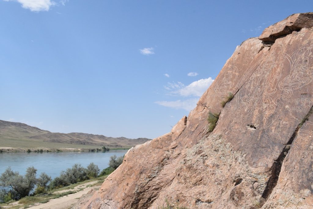
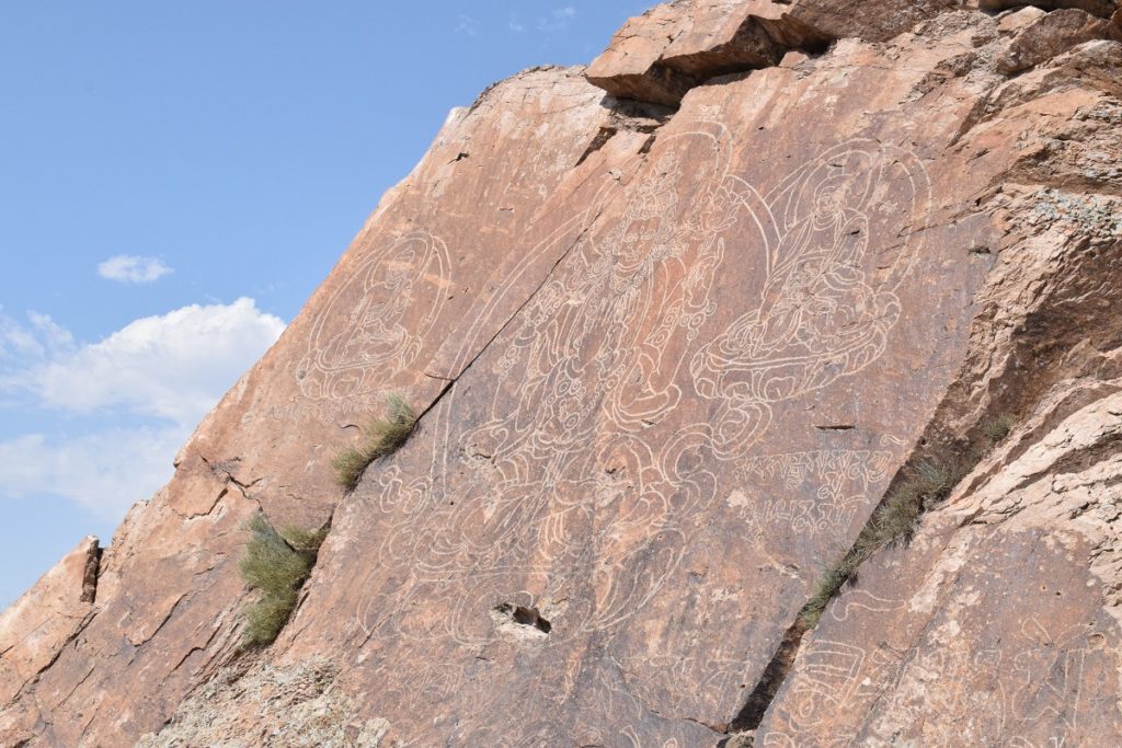
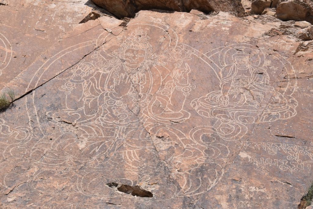
We stopped at Tamgaly-Tas (120kms from Almaty), site of rock carvings and paintings of Buddha, bodhisattvas and different styles of Tibetan scripture on cliffs and boulders on the bank of the river Ili. The origin and date of the carvings are disputed. There are historical theories and of course a legend.
Legend has it that a Buddhist mission was moving deep into the region (south-east modern Kazakhstan) in the 10th century. The mission had stopped by the shore of the river to rest when an earthquake occurred and dislodged an enormous piece of rock which fell from the cliffs to the ground. The mission took it as a sign that they should return to India, but before leaving carved three images of Buddha on a broken piece of cliff. The legend does not explain for what purpose these images were carved.
Some historians believe that the carvings were left by the Dzungars, a tribe who left northwest China in 1607 and occupied the region for the next century. The tribe’s legacy are Buddhist trails, sanctuary and scriptures.
Shakyamuni Buddha and the burkhans Manla and Chon Rai Chik portrayed in a traditional and contemplative lotus pose.
We then carried on the way to Altyn-Emel National Park.(north-east of Almaty and close to the border with China).
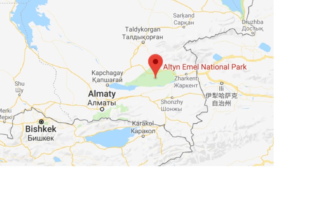
The Park was created in 1996 and covers 4600 square kilometers between the river Ili and the Ak-Tau mountain range. It consists mostly of desert and rocky terrain but is the home of at least 260 different animals, some on the list of endangered species. One of the last known race of wild horse was also successfully re-introduced in the park ( Przewalski horse) and today the herd counts more than 3,500 heads.
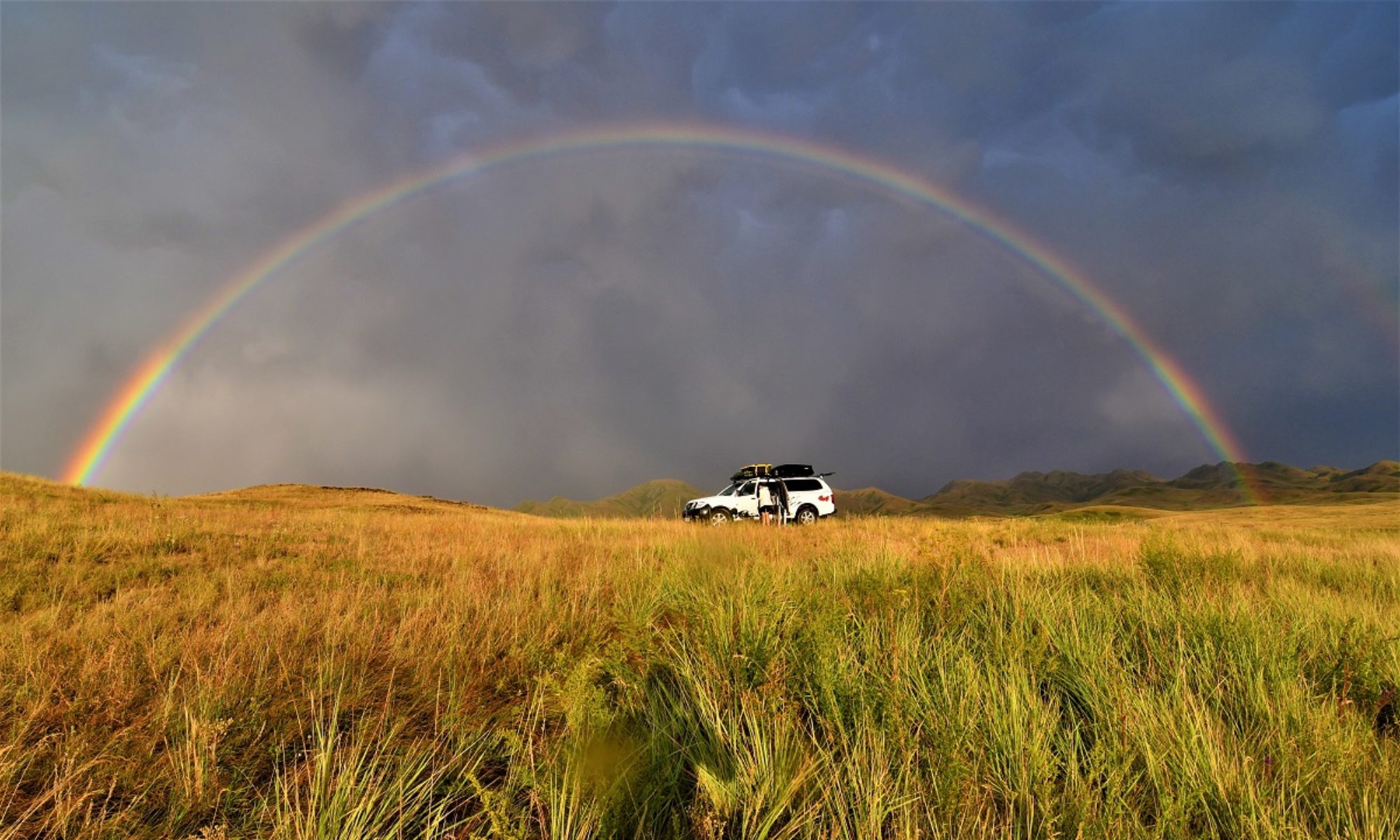
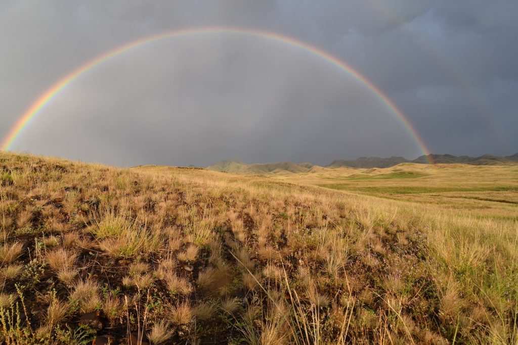
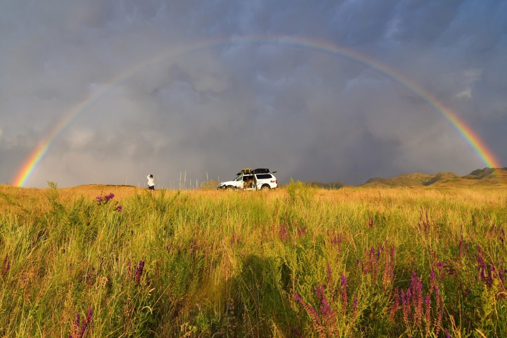
We stopped 40kms away from the park entrance and a storm broke out just as we were setting camp. It was not long before the sun came back and we were rewarded with this beautiful full rainbow.
Tuesday 23rd July, 2019 – ALTYN-EMEL NATIONAL PARK
We carried on to the small village of Baashi where the Park headquarters are and where you can buy your tickets and get information about the different routes. There are three main attractions 1) the Singing Dunes, 2) Katutau and Aktau Mountains and 3) the Besshatyr burial grounds and petroglyphs.
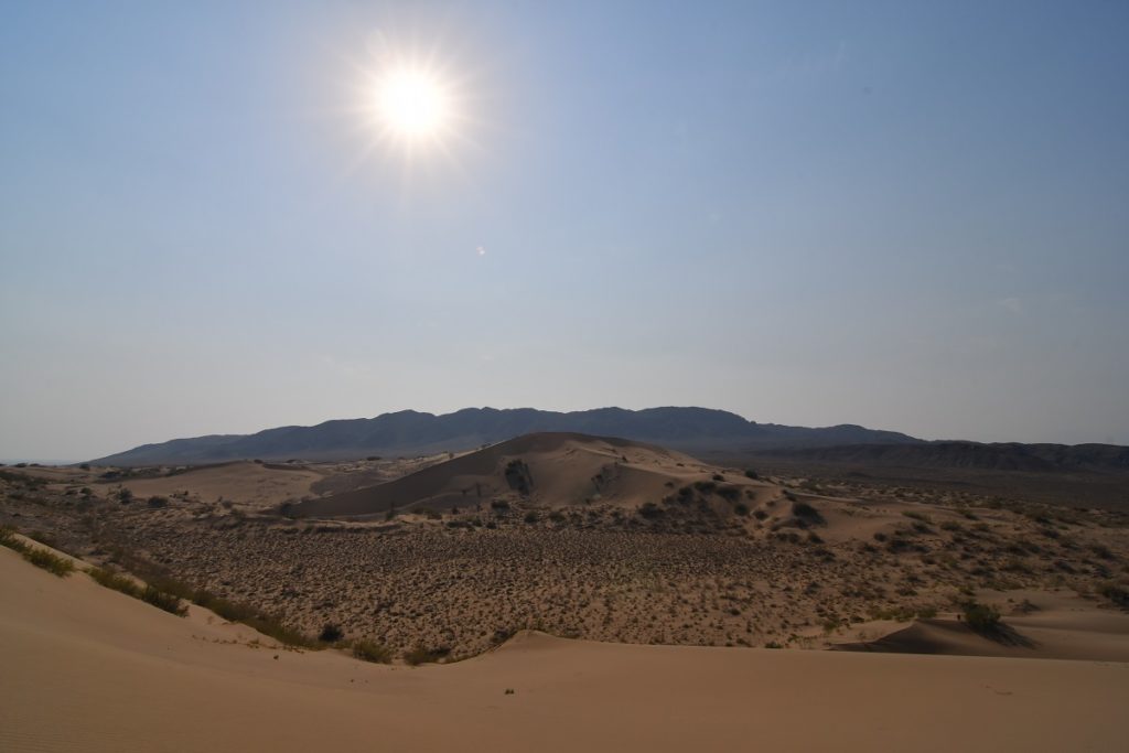
The Singing Dunes are 80kms from Basshi , 2 hours drive in the steppe/desert with no shelter from the sun.( got 40C in the car)
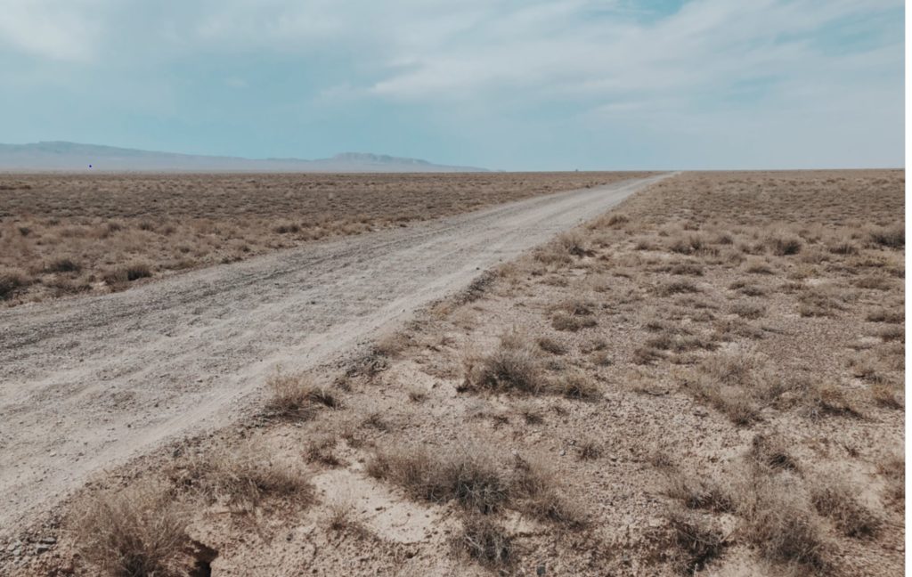
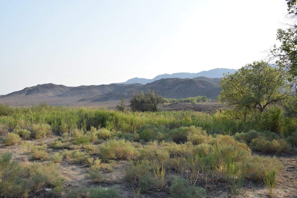
Near a spring on the way to the Dunes 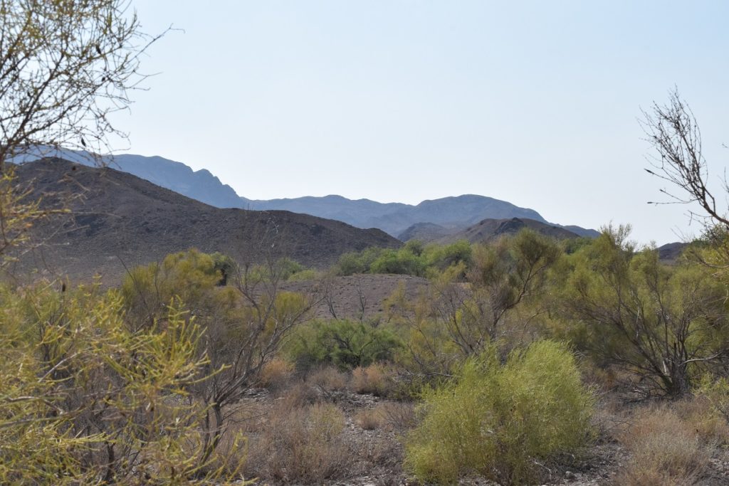
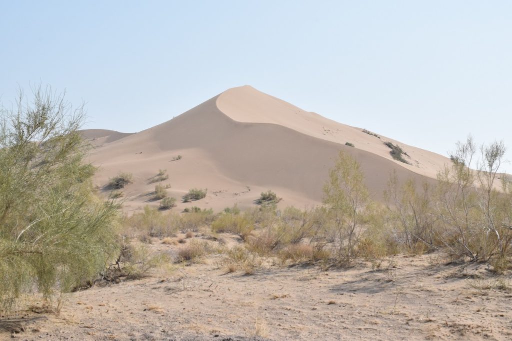
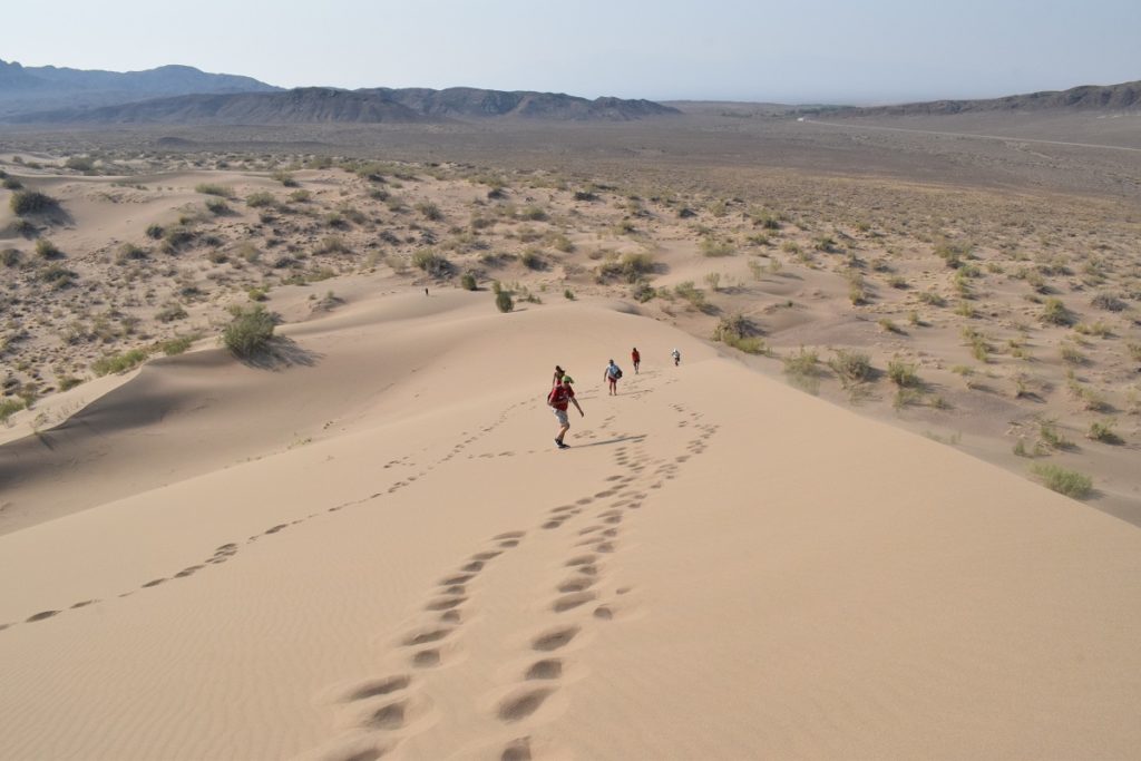
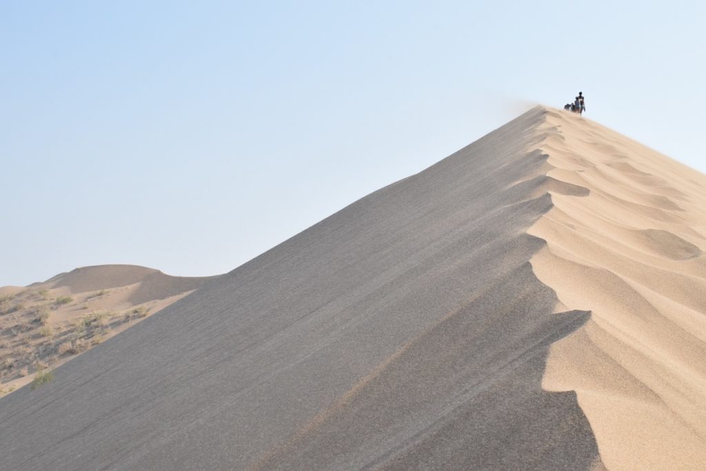
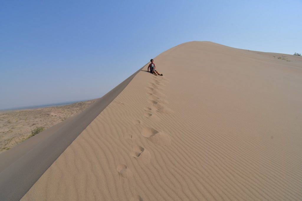
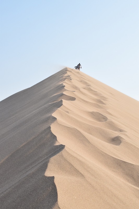
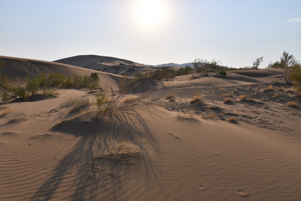
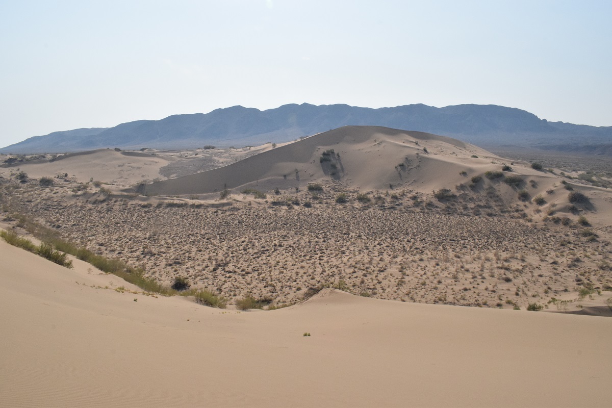
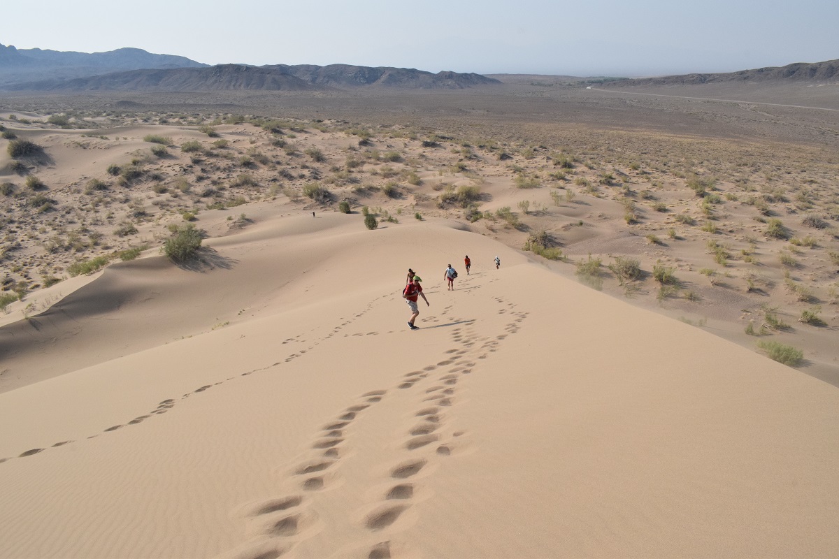
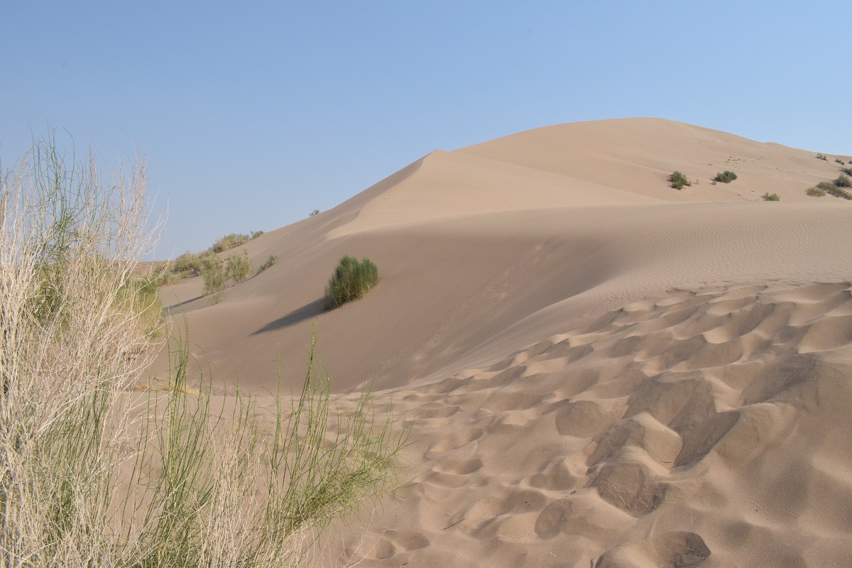
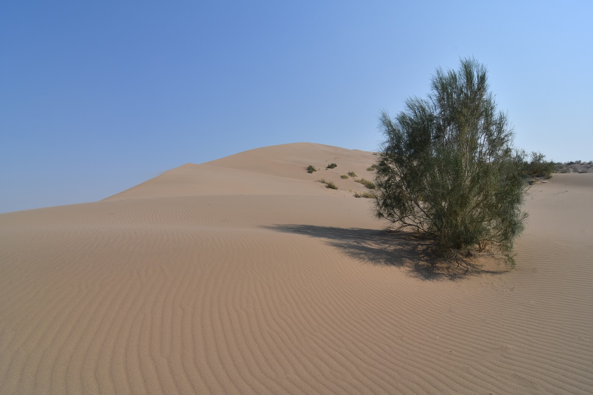
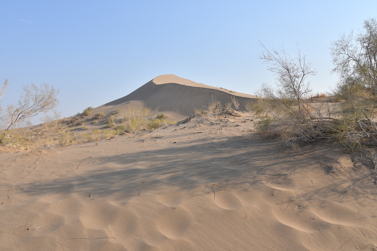
The dunes appear all of a sudden wedged between two mountains. There is no sand around apart from the dunes. They emit a low vibrating rumble ( similar to an airplane engine) when the sand moves. Another particularity is that the dunes do not move thanks to the strong winds that blow over them in different directions.
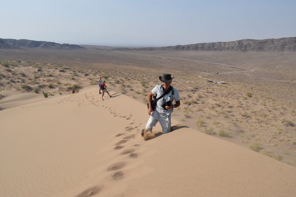
It is a steep climb to the top !(The best time to go is after 6pm when shadows are created by the sun going down and the sand turns a golden yellow).
You are allowed to camp at the rangers post 12 kms from the dunes. There is some shade which is most welcomed but the place is infested by mosquitoes in the evening and we had a terrible night there !
Wednesday 24th July, 2019 – Taldykorgan
We made our way back to Baashi and tried to find a place to fix yet another flat tyre we had on the way to the Dunes but the electricity was down in the village and in the end we decided to drive to the nearest town Saryozek ( 90 kms away).
Just outside the village, a couple flagged us down . They were standing by the side of the road. The woman wanted a lift to the town and as we were heading that way we agreed to take her there. She did not seem to mind the cramped sitting position in the back of the cab! She offered us 500 Tenge ( about 1.5 dollars) for the ride. It is common practice in Central Asia , people will stand by the side of the road and try to get a lift. They sometimes stand at bus stops but hope to get to their destination quicker by private car. For the drivers , it is a way to make money too! This also happens in towns as this is cheaper than getting a taxi.
We got to Taldykorgan mid-afternoon and stayed the night.
Thursday 25th July – Friday 26th July, 2019 – UST-KAMENOGORSK
The next 2 days are spent driving .The A3 that leads all the way to the border is undergoing major works and in places is being re-built altogether. The existing road is in poor condition with numerous potholes, bumps and deformed asphalt. The road works mean temporarydeviations on dirt roads and the going is slow.
We only managed 400kms in 8 hours the first day and 450km the next in 9 hours! The landscape was mainly steppe( flat with yellowish grass and no trees) with occasional mountains in the distance so not very exciting !
We booked a flat for 3 nights as we cannot cross the border until 30th July.
Saturday 27th July – Sunday 28th July, 2019- Ust-Kamenogorsk
Ust-Kamenogorsk, also known as Oskemen is the administrative centre of the East Kazakhstan region. The town was founded as a fort and trading post at the confluence of 2 rivers in 1720. ( under Peter the Great).
The city developped as a major mining and metallurgic centre during the soviet period and was a” close city” due to its production of uranium products. Today mining of non-ferrous metals, especially urianium,copper, lead , silver and zinc and others remain important. It is also a centre for the construction industry producing manufactured housing and ferroconcrete articles.
The weather was not so great, the temperature dipped to 20C with grey skies and the city- surrounding countryside was engulfed in dim. We were told it was due to fires burning in Siberia, but not sure it was the case, may be pollution played a part too!.
Monday 29th July, 2019 – Shemonaikha
Drove the 100kms or so to Shemonaikha, small town 20kms away from the actual border crossing.
The road was in fairly good condition and the landscape turned a lot greener with huge fields of sunflowers.
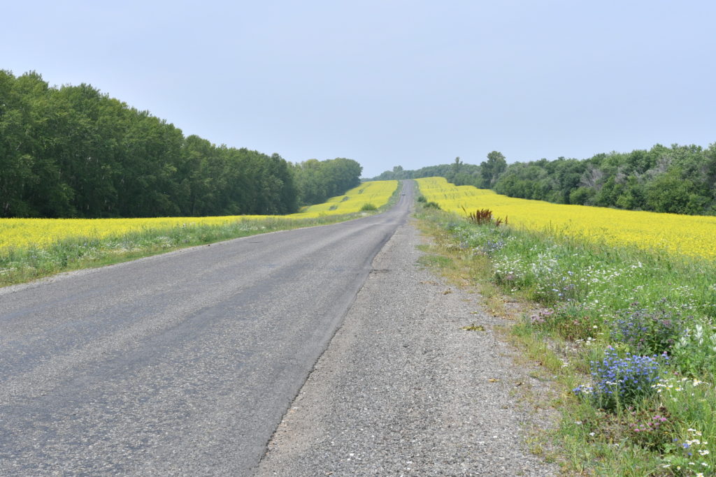
The villages we passed could have been in Russia, with typical wooden houses surrounded by picket fences.
KAZAKHSTAN – Kolsai Lakes – Kaindy Lake – Charyn Canyon – Almaty
Saturday 13th July, 2019
The road to the Kazakh border goes through the Karkara valley. Karkara means ‘black crane’, and is named after the birds that use the valley as a resting place on their long journey from Siberia to South Africa in June and September.
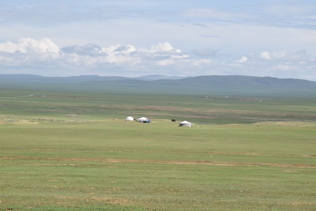
The valley is straddling the Kyrgyzstan-Kazakhstan border. The wide verdant valley, is fertile and sits between the Central Tien Shan and the Kungey Alatau ranges ( Kazakstan and China). The Kyrgyz-Kazakh border appears to slice the valley in half but nowhere is this arbitrary border more absent, disregarded by herders from both sides who, in summer, erect yurts in the valley while their animals disappear into the long lush grass. As a consequence, herders from both sides of the border move along the valley with impunity, unhindered by artificial barriers such as political divides, and the yurts of both Kyrgyz and Kazakhs pepper the lush valley floor in summer.
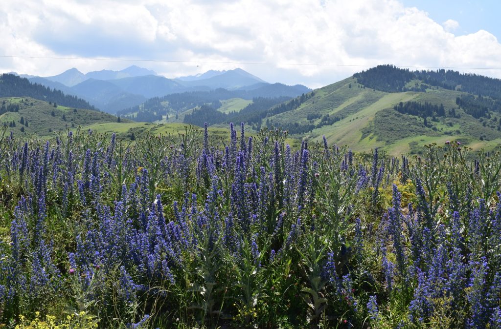
We took the turning to the Kolsai Lakes National Park at Kegen. This was leading us west, back to the mountains and very close to the border with Kyrgystan, north of Lake Issyk-Kul. We crossed vast open spaces battered by strong winds. We got to the park late afternoon but there was no suitable camp spot ( we were shoed away from a spot by a park ranger) and had to come out of the park to find a place, next to a river.
Sunday 14th July, 2019- KOLSAI LAKES
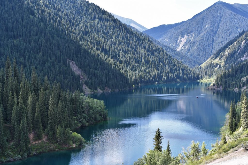
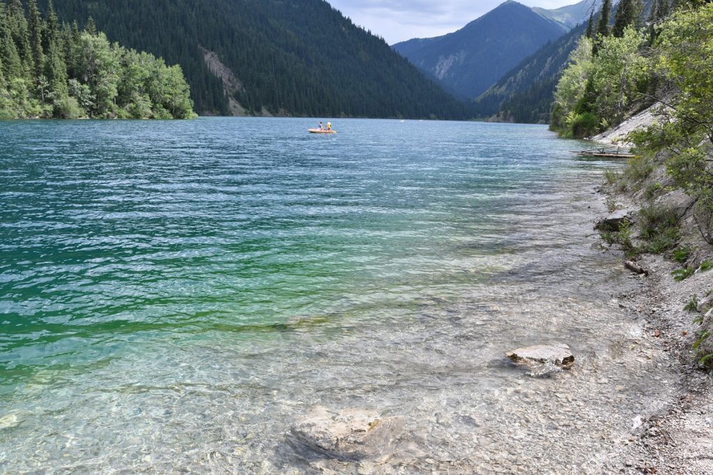
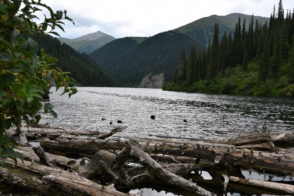
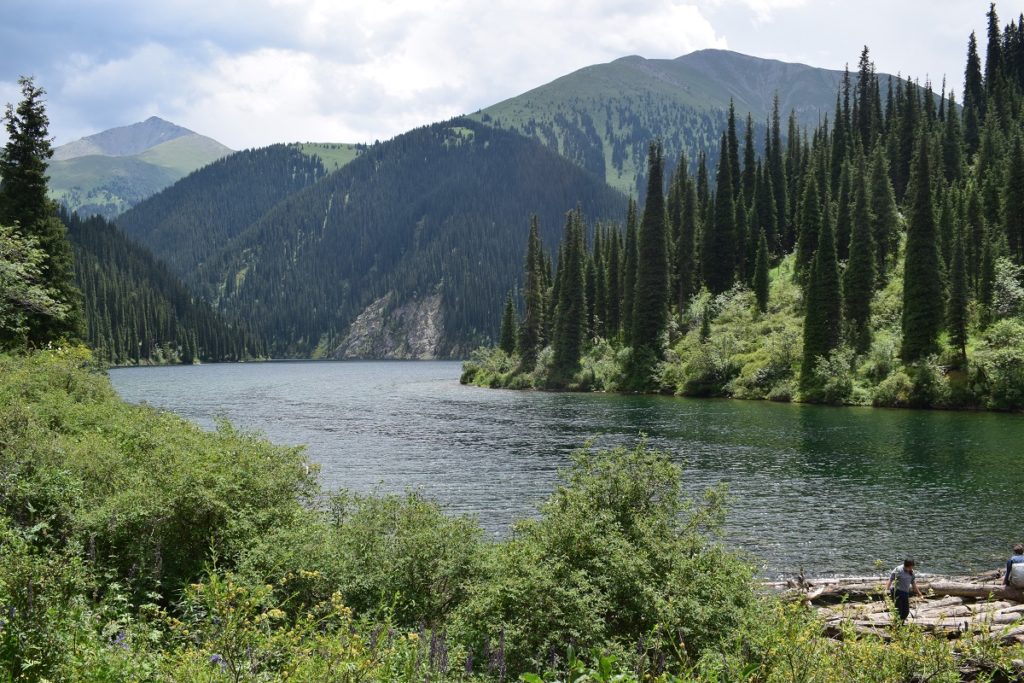
The park is popular especially at weekends when locals come to relax and have picnics near the first lake which is accessible via a short walk from the carpark. We arrived around 10am and took the trail leading to the second lake. This follows the first lake on the eastern shore. The water is very clear and people were out in small rowing boats , enjoying the views and the hot weather. ( the water though is too cold to swim).
Kolsai Lake 1
The track carries on into another small valley up steep wooded slopes. After 3 hours we finally got to Kolsai Lake 2, smaller than the first lake and the water appeared to be darker ( but might have been because the weather was turning and it was clouding over). We had lunch and rested for a while before starting on the way down. We heard the thunder a few times but no rain materialised. We came back to our camp spot.
Kolsai Lake 2
Monday 15th July, 2019 – KAINDY LAKE – CHARYN CANYON
Kaindy Lake (“birchen” in Kazakh) is lost in a coniferous forest at 2000 m above sea level in the Kungen Alatau mountains. It was formed as a result of a natural disaster which flooded a gorge situated right in the middle of the present lake, submerging incompletely trees. Today, their dried peaks overlook proudly over the water like sunken squadron masts. The lake is reached via a dirt road just off the village of Saty. It is rough in places and we had to cross a river at one point but in no way as bad as what we had in Tadjikistan.
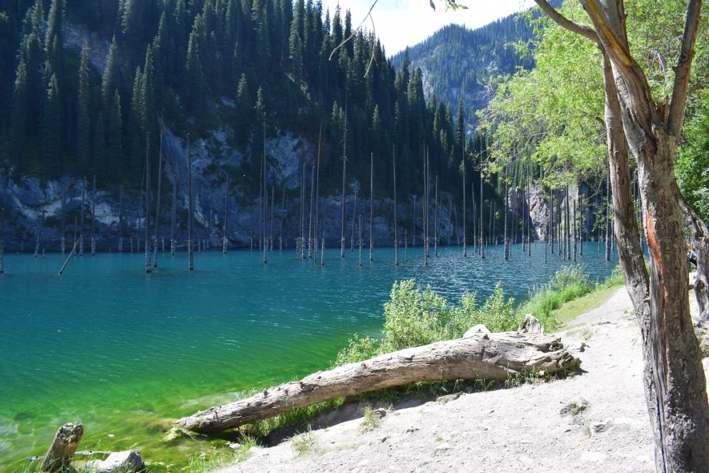
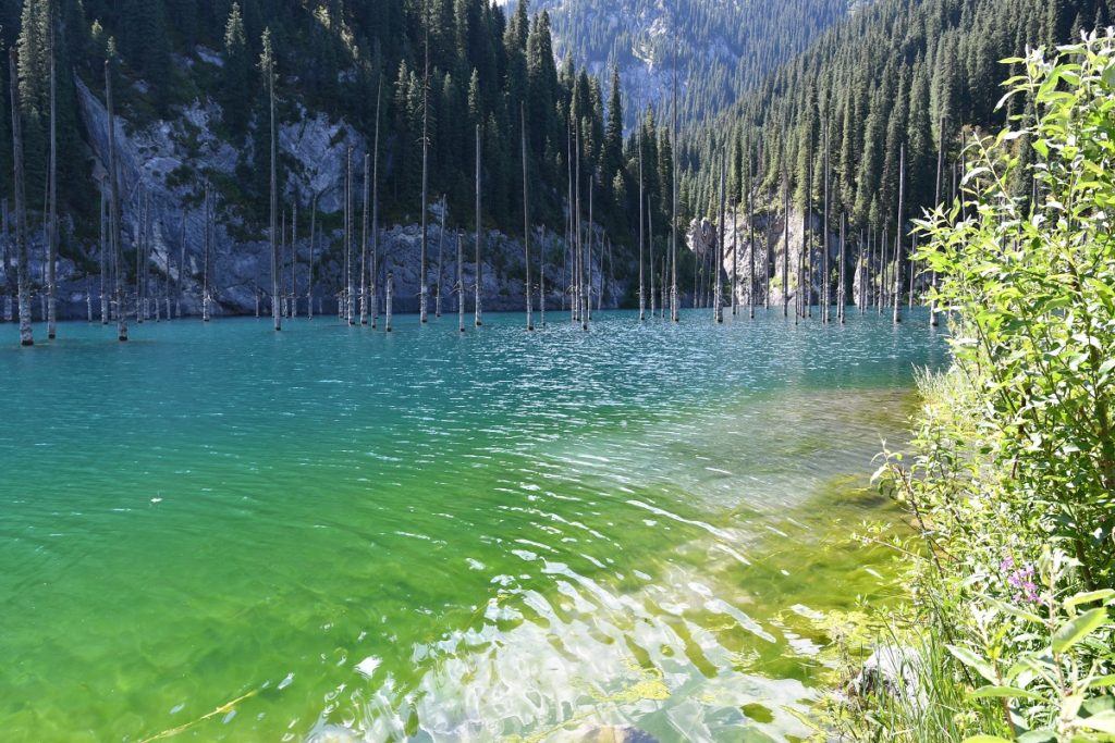
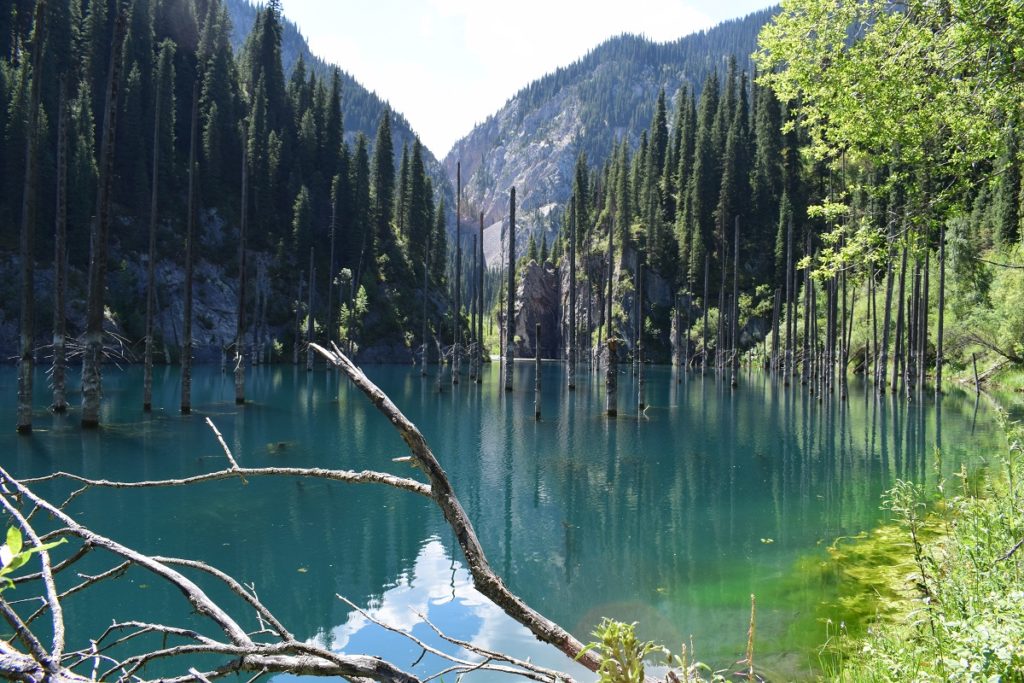
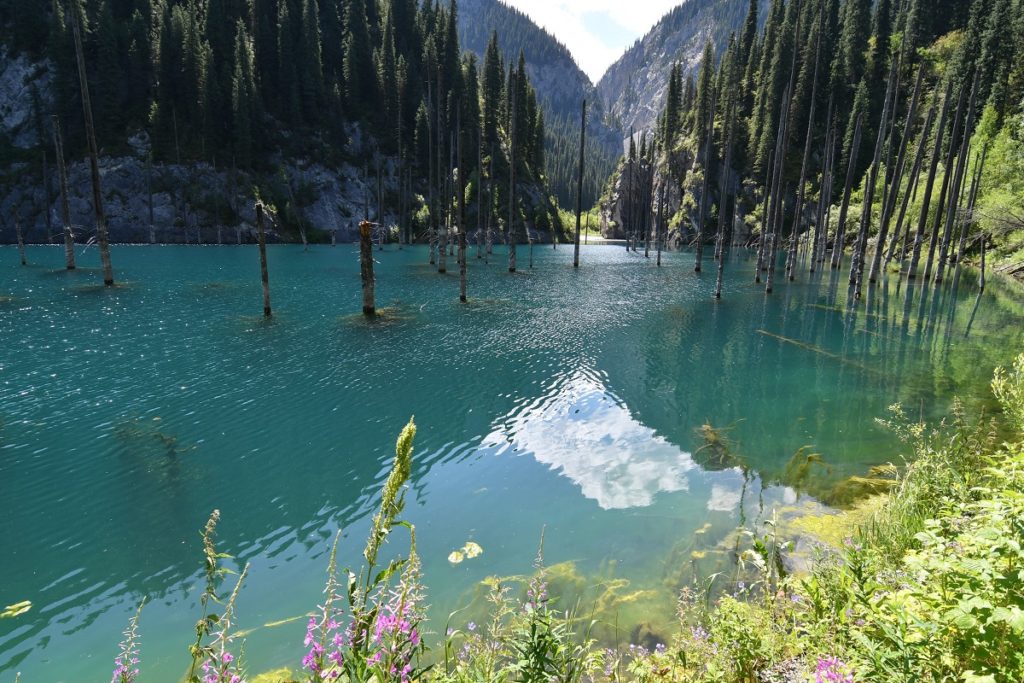

Kaindy Lake – Kazakhstan
We continued on the PI6 road rejoining the main road to Almaty, just before the turning for Charyn Canyon.
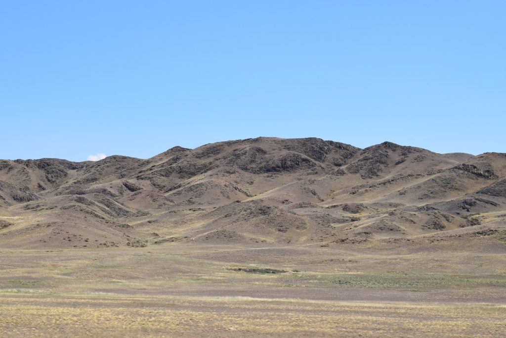
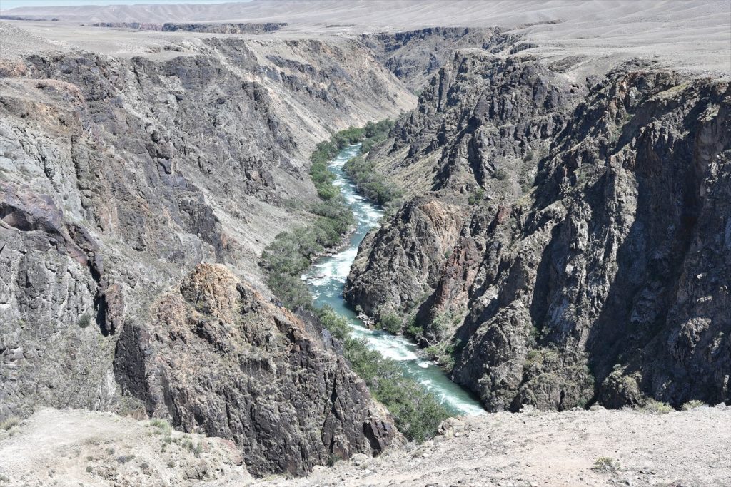
We crossed some moonlike and very arid landscapes and came across a canyon dug by a river in black rocks.
CHARYN CANYON
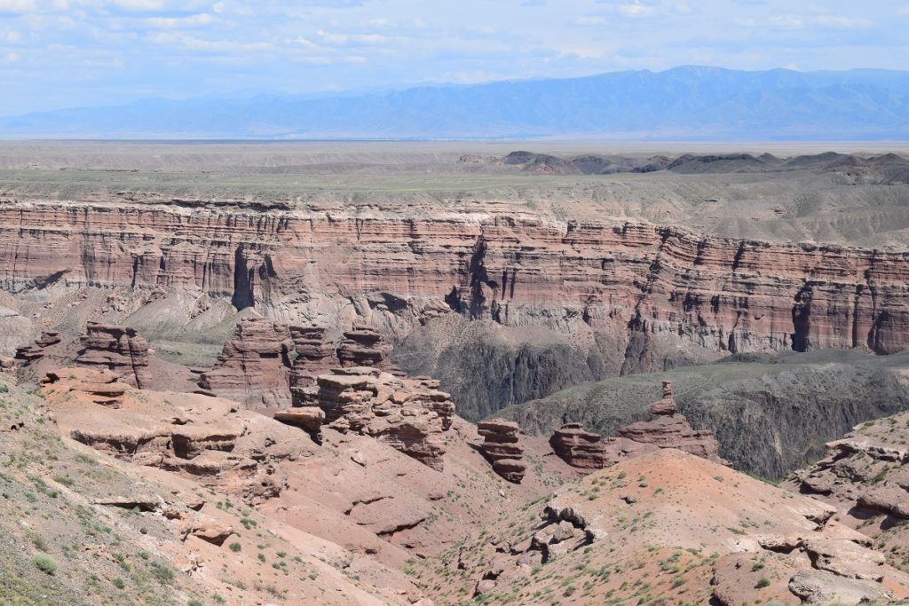
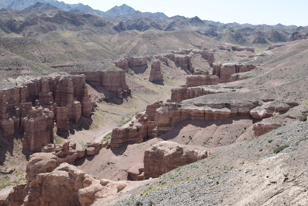
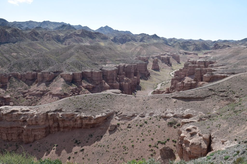
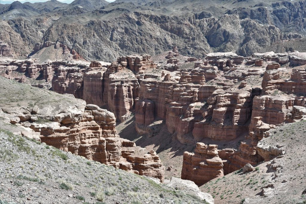
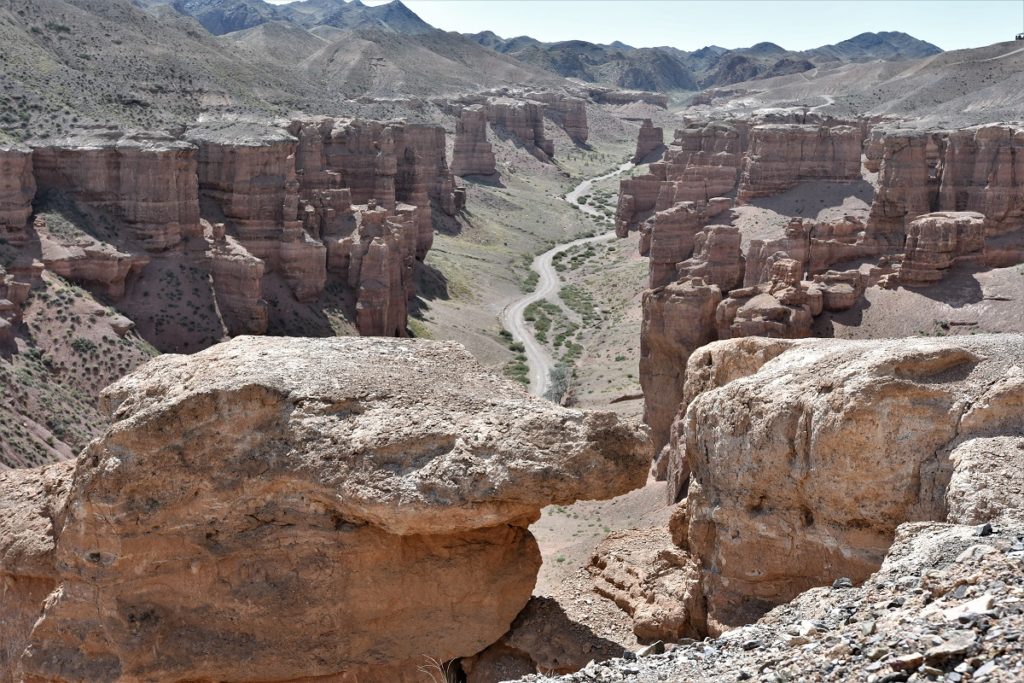
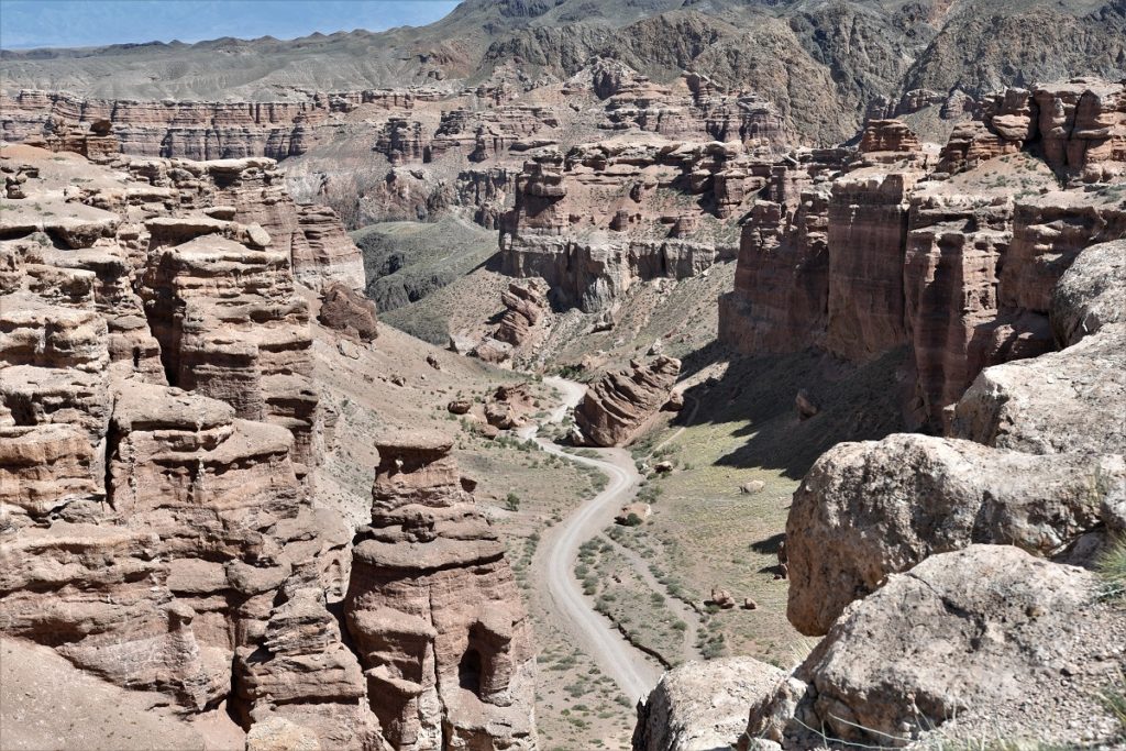
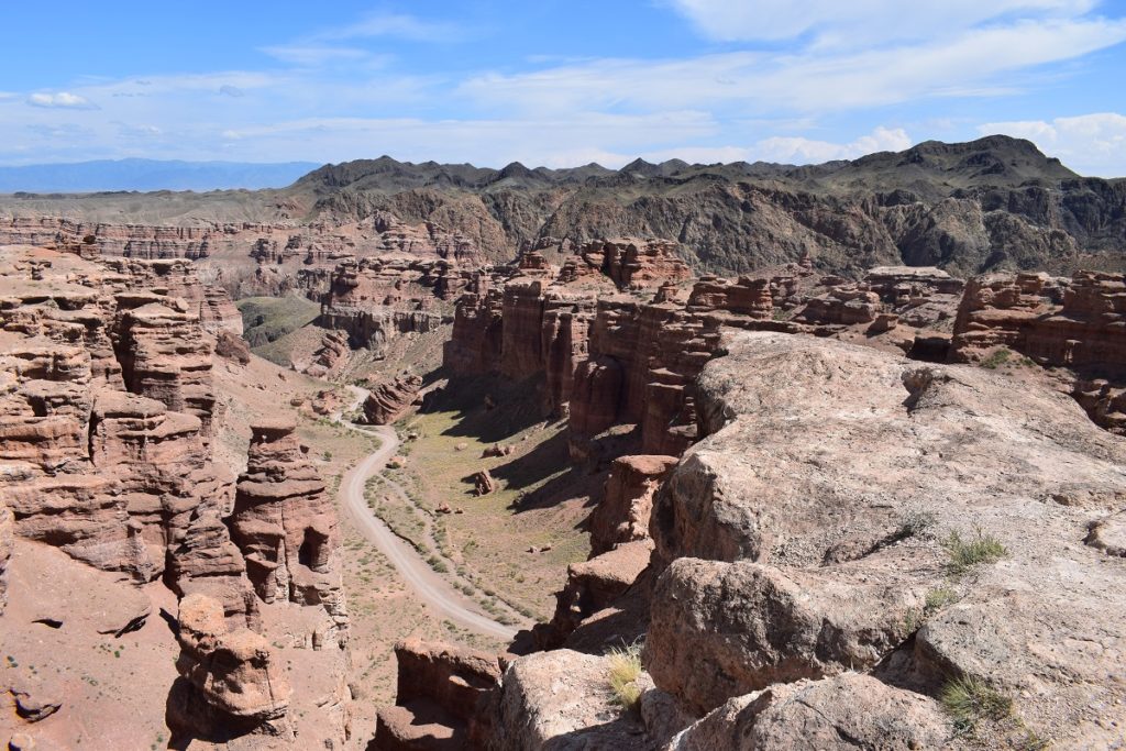
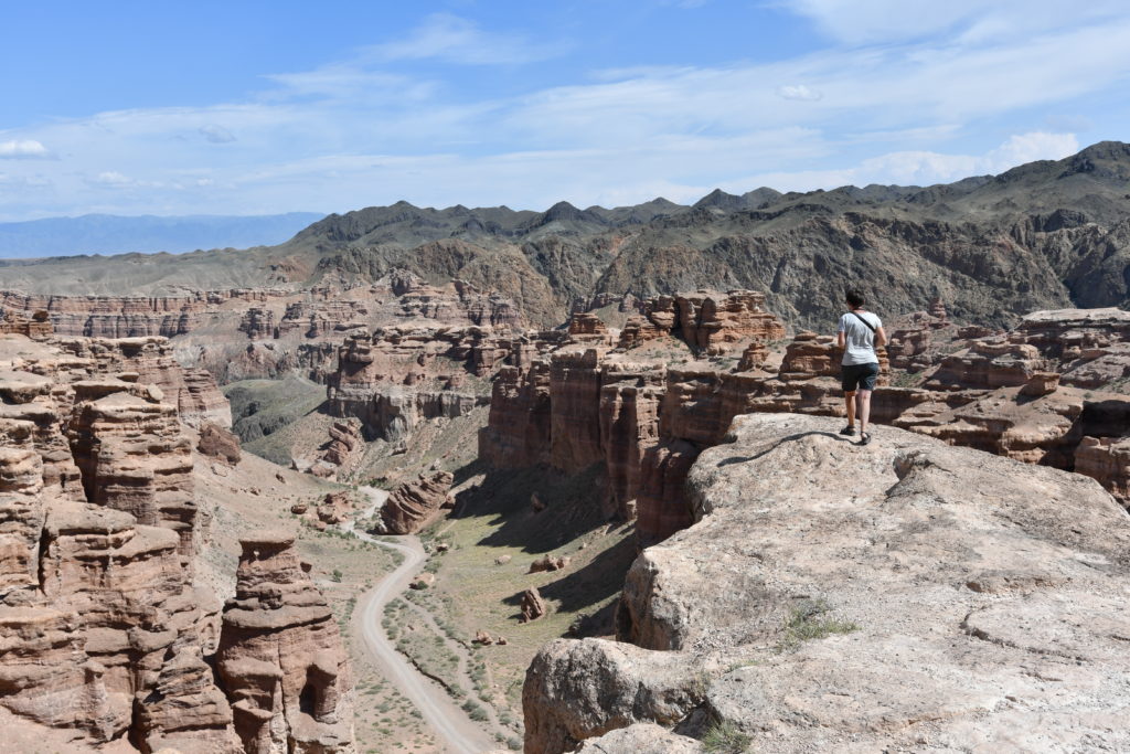
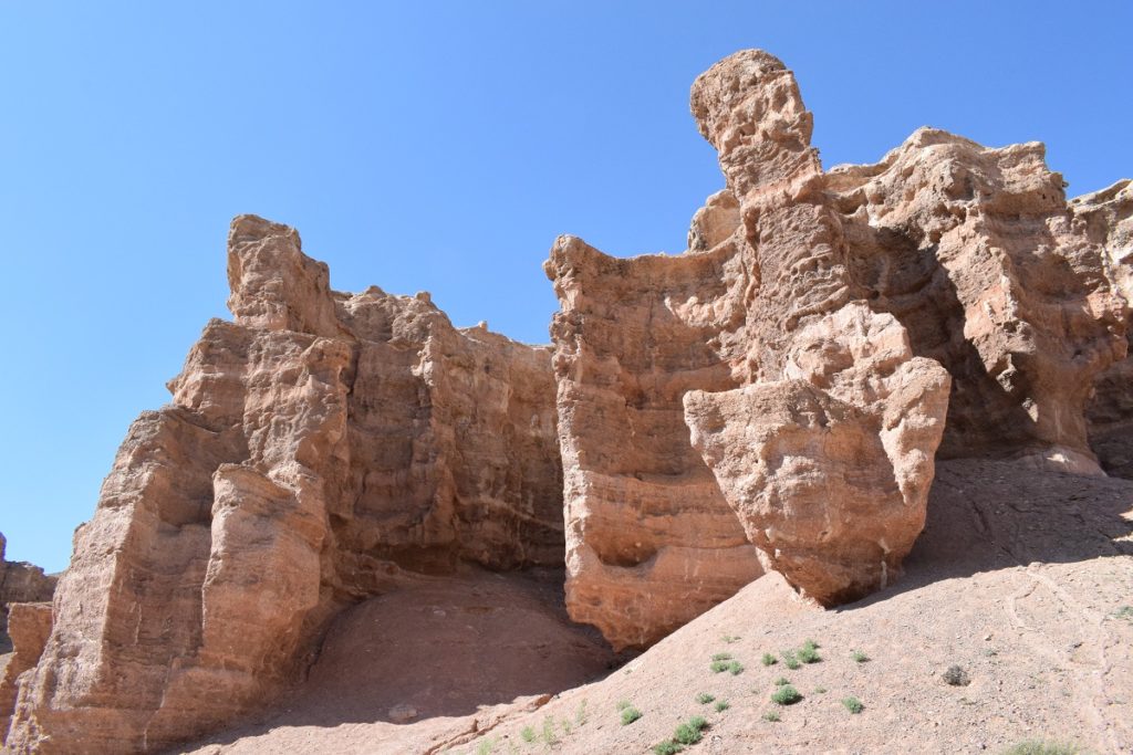
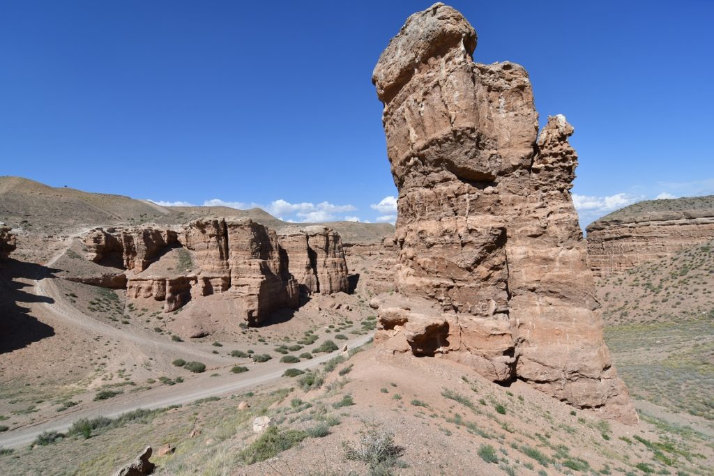
This is a touristy destination and the 10km road to the entrance of the park is well paved. The Canyon was formed by the river Charyn (originating in the Tian Shan mountain range) and is around 80km long but the most impressive part is just over 3 km long. The depth varies from 100 to 300m.
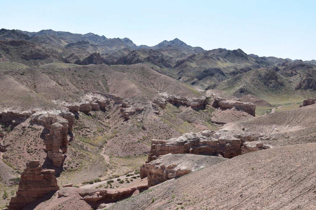
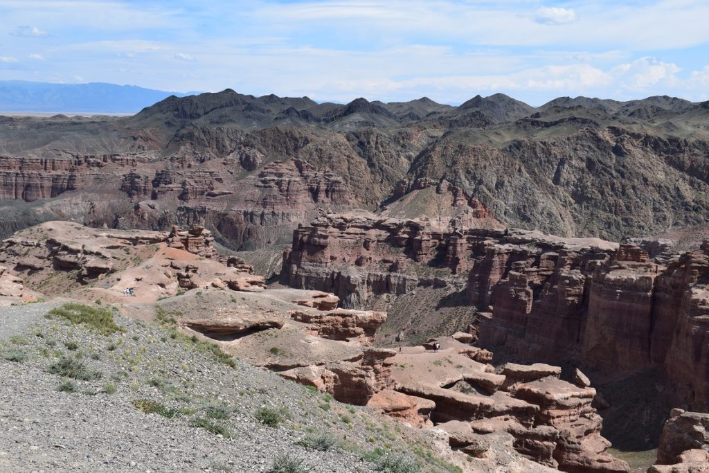
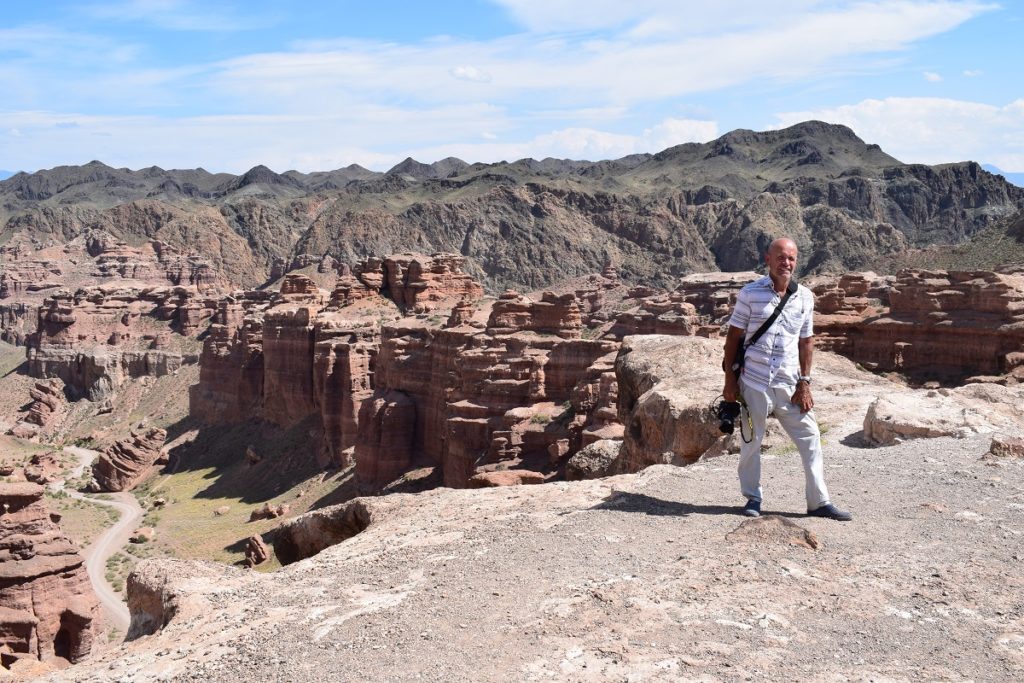
You can drive on a dirt road on the top of the canyon . There are a few viewpoints accessible by foot giving wonderful views but it can be a bit tricky to get to some, as the path is very slippery and on the day we were there, strong winds made things a bit hairy. ( not good if you suffer from vertigo!)
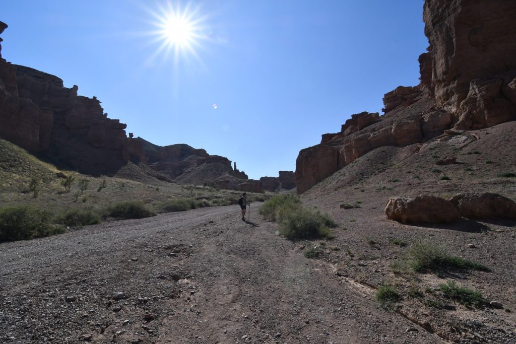
We then made our way to the bottom of the canyon ( over 200 steps!) and walked some of the length of the canyon.
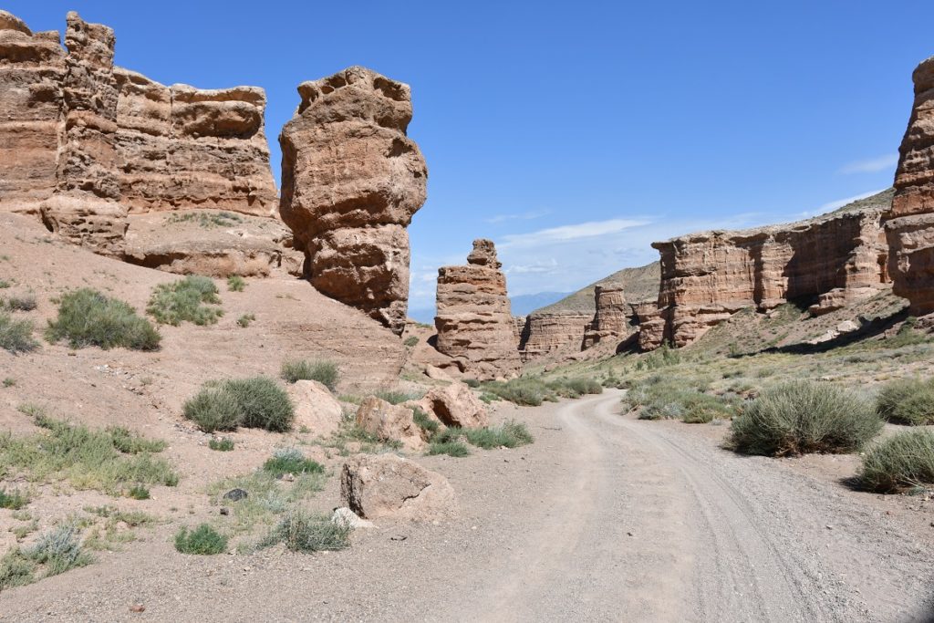
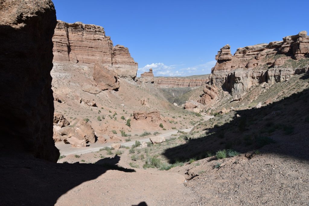
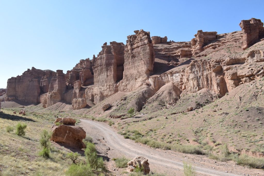
Valley of the Castles 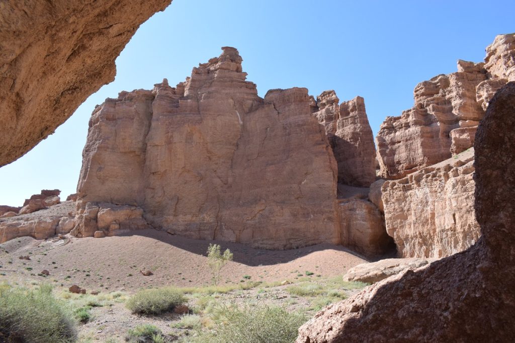
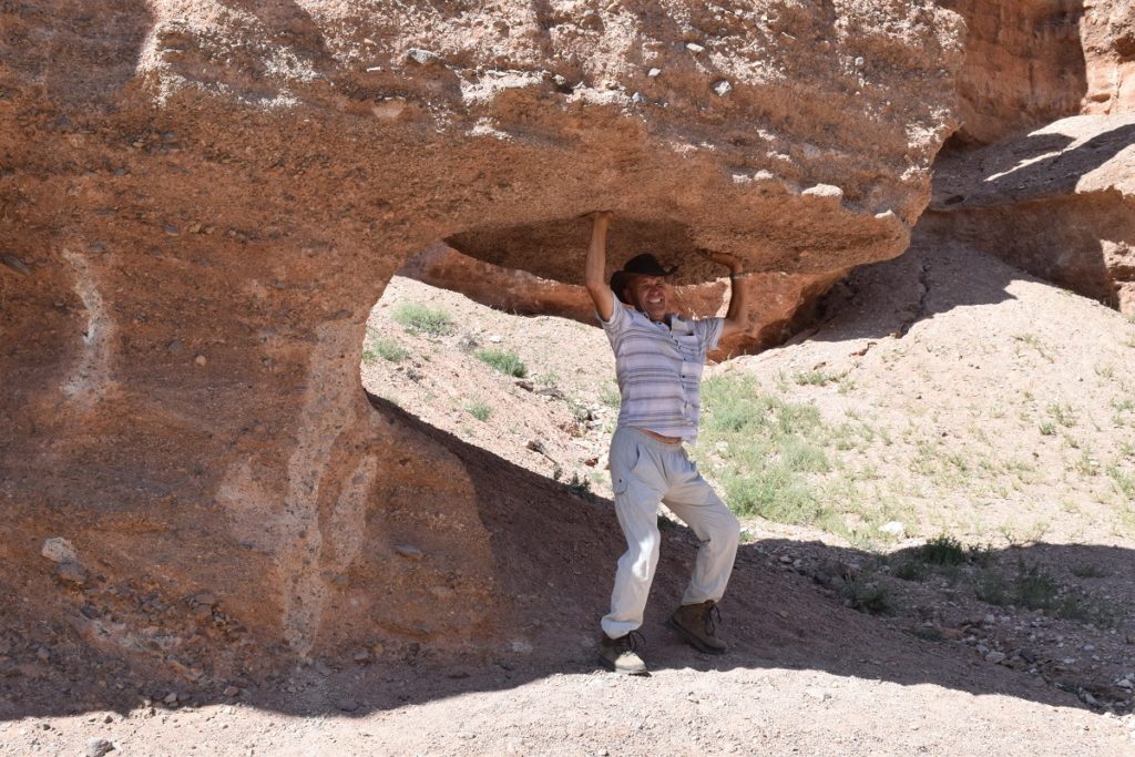
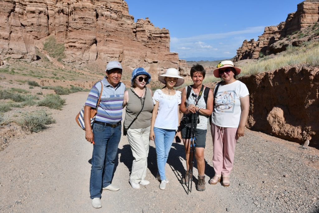
Some locals asked us to pose :
We then made our way to Almaty, 200km away.
Tuesday 16th July, 2019 – Monday 22nd July, 2019 – ALMATY
Almaty (formerly known as Alma-Ata) was the capital of the Soviet Republic of Kazakstan up to 1991 and remained the capital after independence up to 1997 when the Government decided to transfer the capital to Astana.( in the north, 12 hours away by train!)
Almaty continues as the major commercial and cultural centre of Kazakhstan, as well as its most populous and most cosmopolitan city.( over 2 million people or 11% of the country’s total population). It is situated in the south, in the foothills of the Ile-Alatau range and is surrounded by snowy peaks.
The city is pleasant, with nice parks and a chance for us to get back to civilisation for a while ! We booked into an Airb&b flat and the next few days are to be spent running around getting a few things sorted on the car and applying for the visas for Mongolia.
The weather is very hot ( 35 to 40 C ) and we appreciate the air-conditionned shopping malls!. There are also a number of day- excursions you can do out of the city. One of them to the Big Almaty Lake, a popular weekend destination where people go to relax and cool down in the not so distant mountains.
KYRGYSTAN Kochkor, Animal Market – Lake Issyk-Kul
Saturday 29th June, 2019
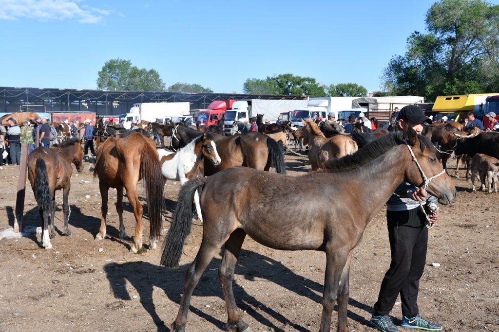
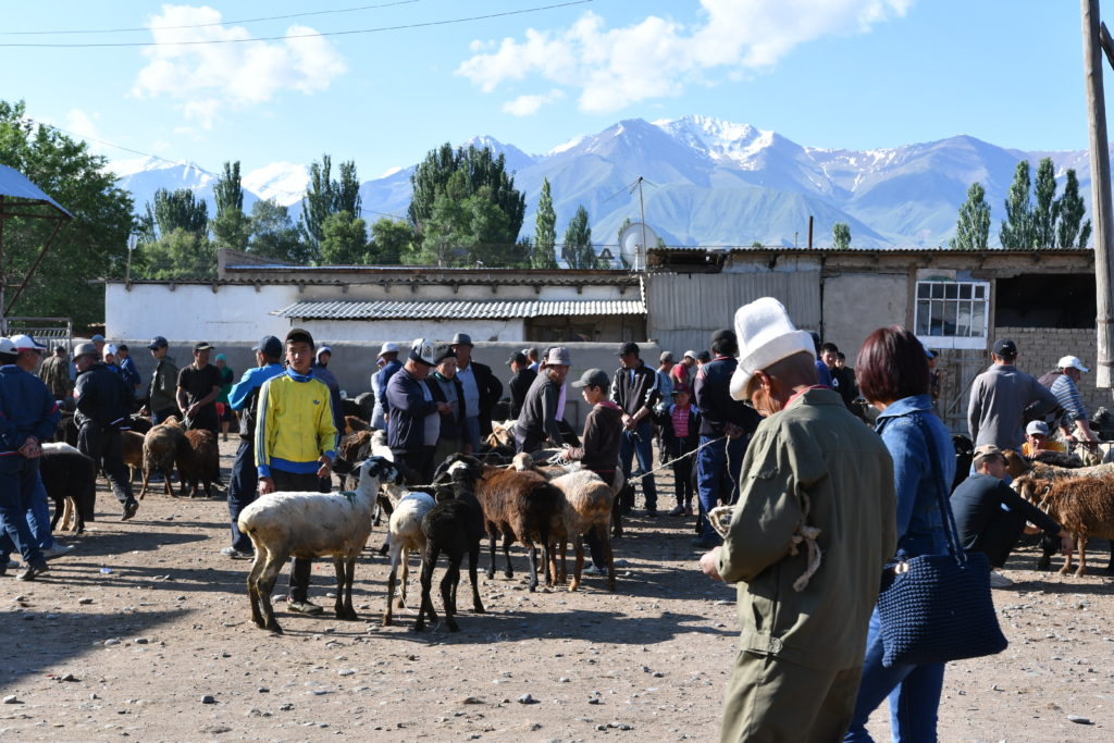
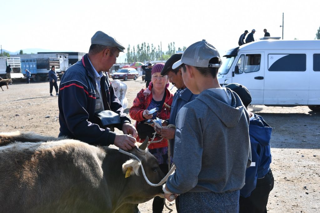
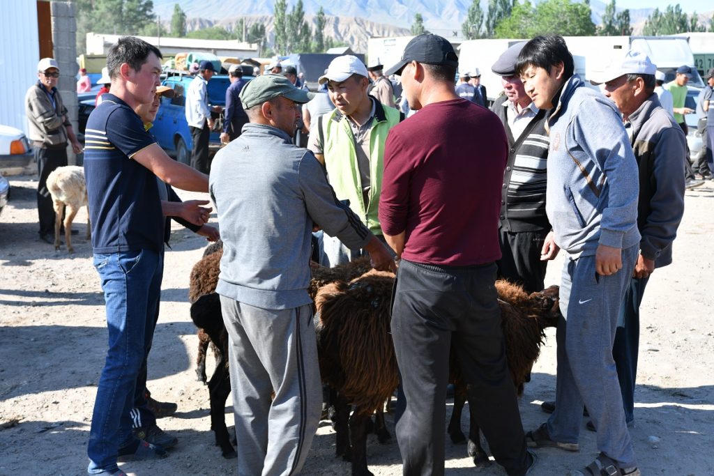
Before leaving Kochkor, we attended the Animal Market which takes place every Saturday. From early morning, people from the neighbouring villages bring their horses, sheep and cows hoping to get a good price for them.
It is a busy place. There are designated areas for each type of animal .Potential buyers simply approach the owner who stands nearby and negotiate the price.
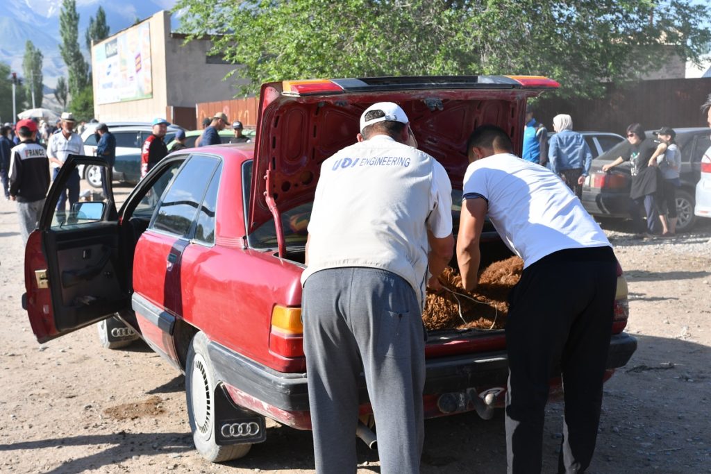
Sheep tend to arrive in the back of a standard car, 3 in the boot!
The market is also an opportunity for people to meet up with acquaintances and catch up on news as many live in isolated places.
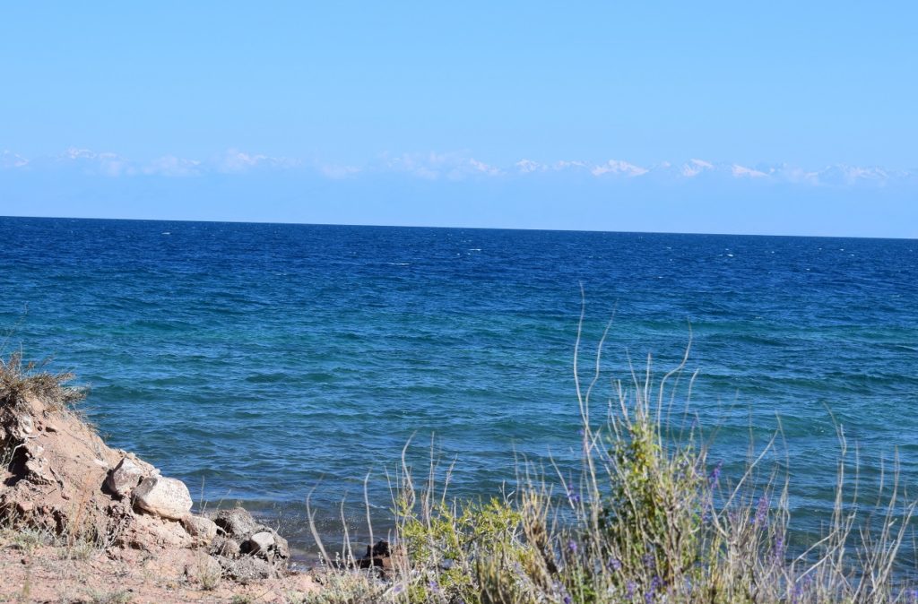
We then headed for Lake Issyk-Kul, the 10th largest lake in the world ( 182km long and 60km wide). We will follow the southern shore up to the border with Kazakhstan.
B0KONBAEVO
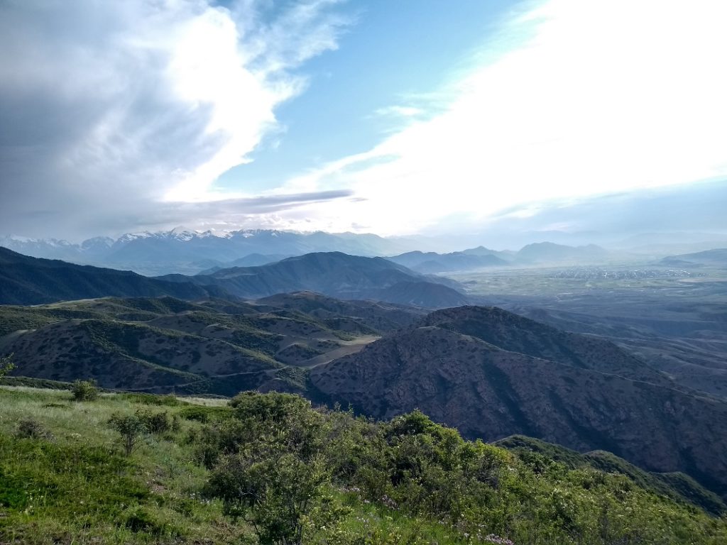
We drove to Bokonbaevo, one of the major settlements on this side of the lake where you can get information on hikes, homestays etc. We then took a dirt road that led to a view point.
We settled camp nearby as we wanted to go on a hike the next day.
Sunday 30th June, 2019 – Kaji-Say
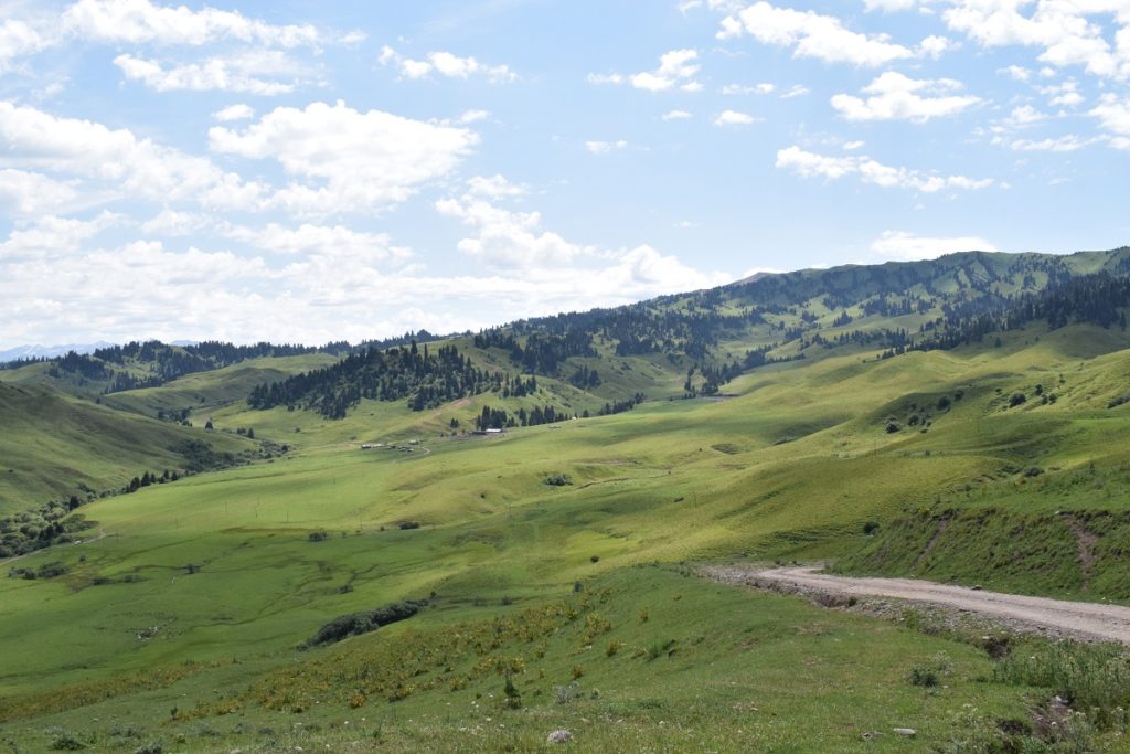
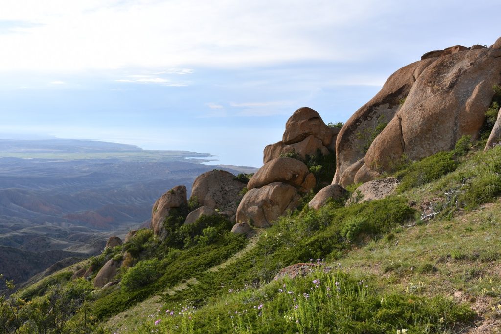
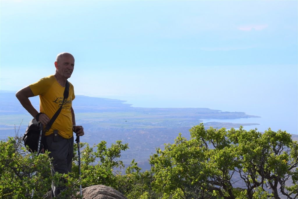
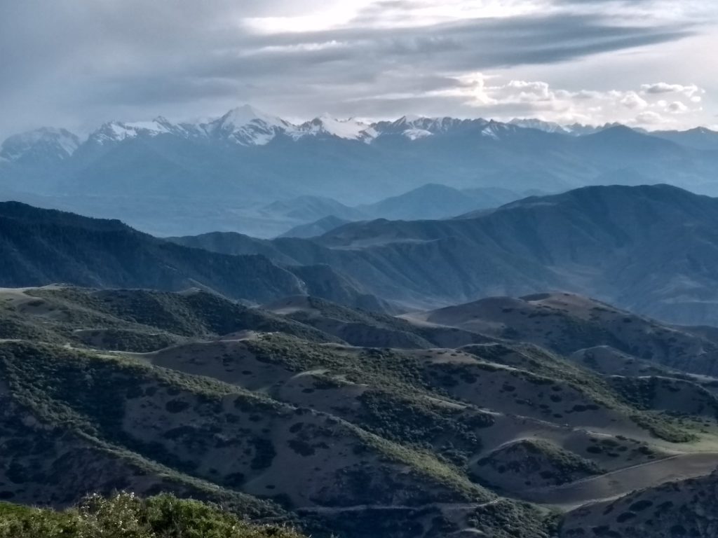
Across the small valley is the starting point for a hike to Tash-Tar-Ata ( 3,847m). We crossed a jailoo and then started a steep climb, right up the flank of the mountain, partly forested and then right in the open to a rocky outcrop. It was quite strenuous.
“Tash-Tar-Ata is considered sacred by the locals. The top of the mountain has a flat area where Manas( Kyrgyz folk hero) is siaad to have lived while protecting the Kyrgyz from their enemies. There is a stone pot in the ground here and it is believed that in order for young men to be strong they have to climb the mountain and drink from the vessel, asking for Manas’s blessing”( Bradt Guide – Lawrence Mitchell).
Monday 1st July, 2019
Just after breakfast, the keeper of a yurt camp close- by came round. Over a cup of tea he explained that the season had not started yet and it was a bit boring for him. There is no phone signal on this side of the valley and not much in term of entertainment whilst the tourists have not arrived ! We talked for a while.
We left after lunch with the intention of going to Fairytale Canyon. We followed the dirt road that goes inland as recommended by our ” neighbour” but it turned out to be quite in bad condition and with many big boulders across our path.
We ended up at the village of Kaji-Say, right on the shore of the lake and decided to stay for the night. We found a guest house with a pleasant garden, kitchen facilities and only 5mn walk from the beach.
Outline of the mountains on the other shore can just about be seen !
Tuesday 2nd July, 2019 – Wednesday 3rd July, 2019
Two days of doing nothing ! Noone else was staying at the guest house and we enjoyed a couple of lazy days in the garden … and doing some catching up on the blog !
Our hosts were friendly, invited us for tea and gave us cherries from the garden, pancakes and other goodies.
Thursday 4th July, 2019 – Fairytale Canyon
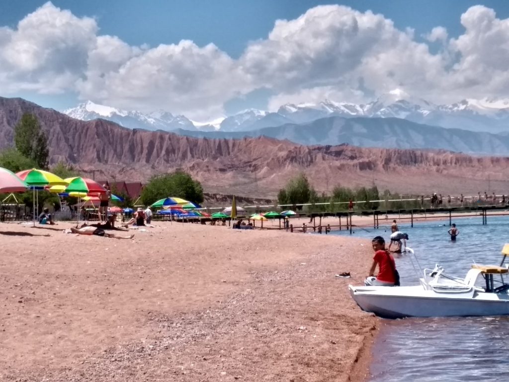
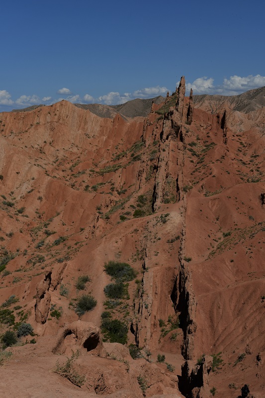
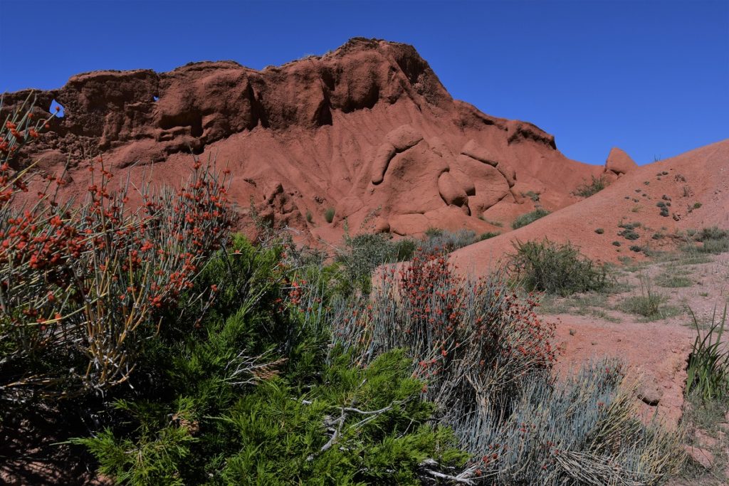
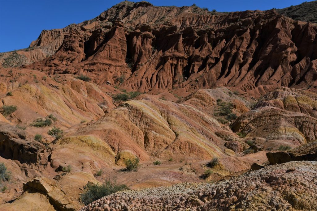
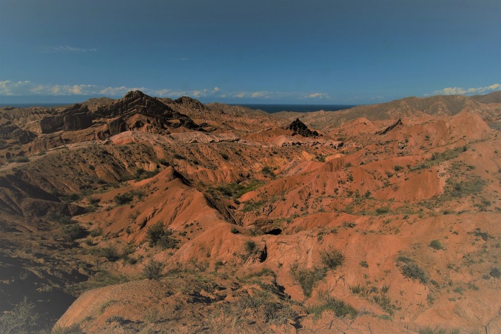
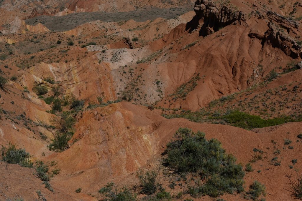
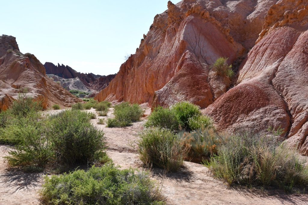
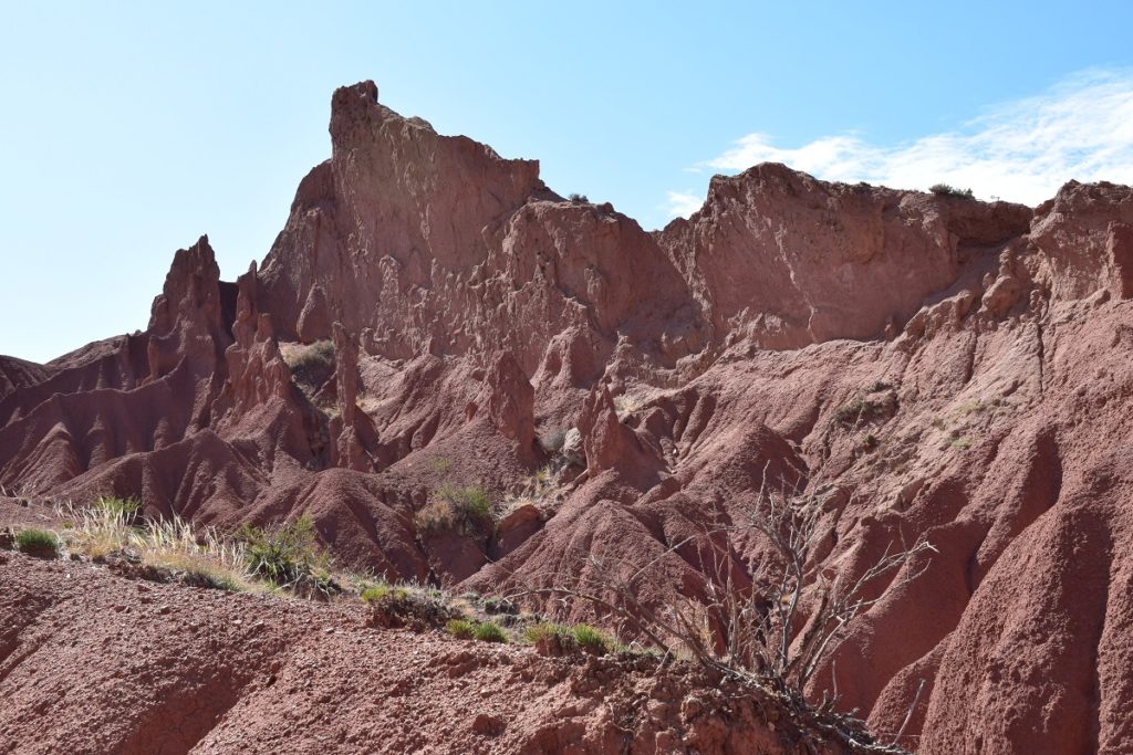
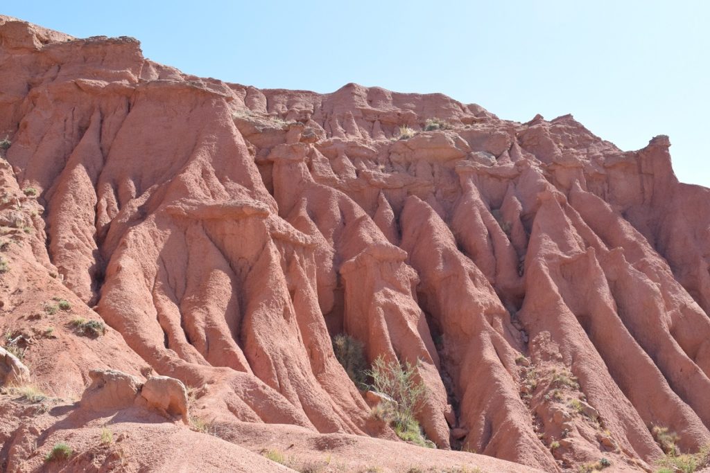
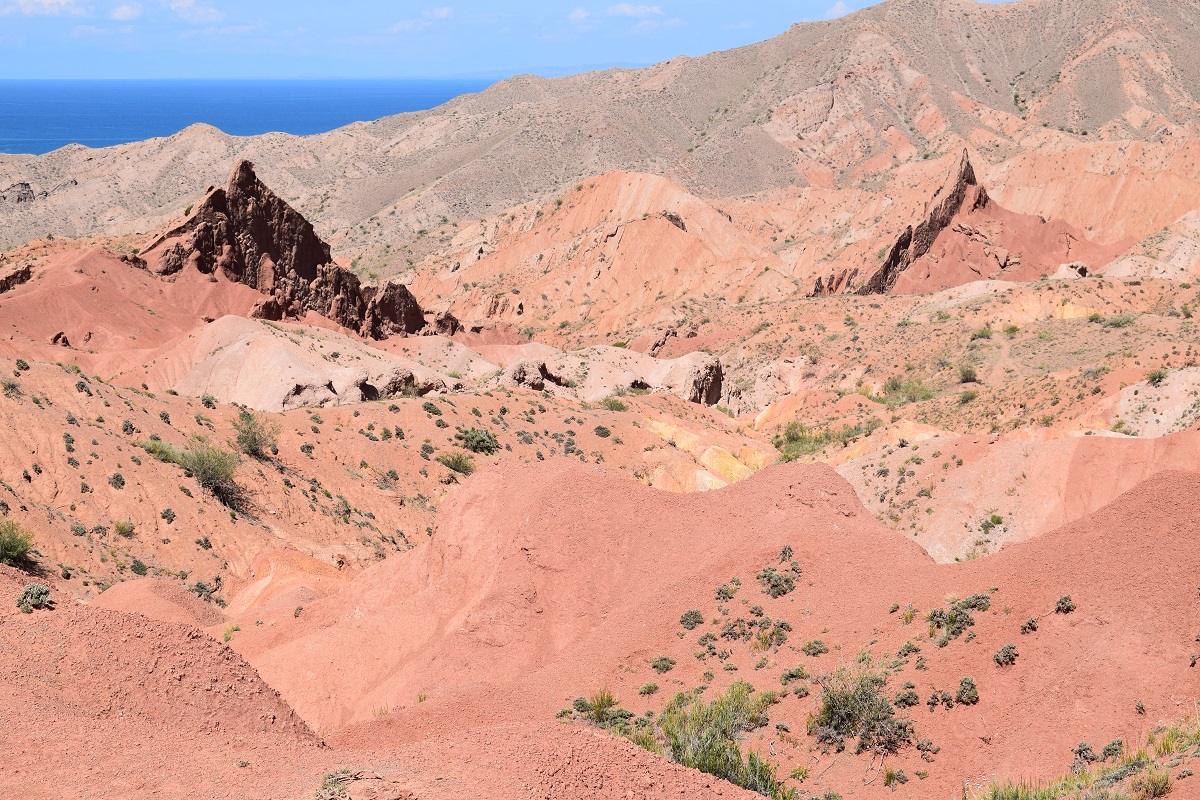
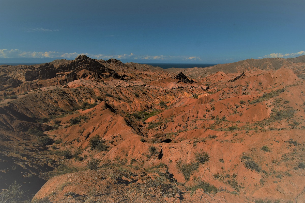
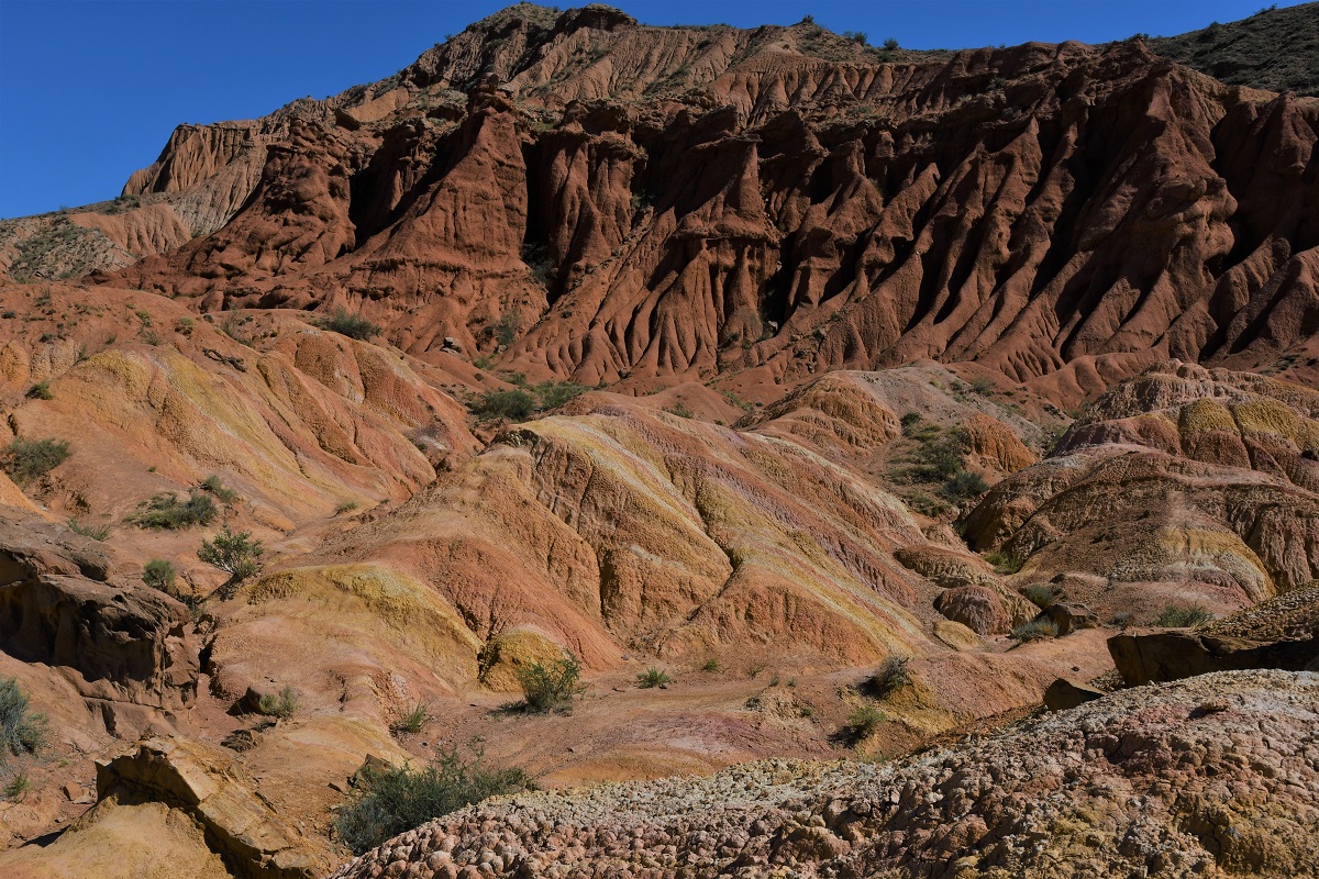
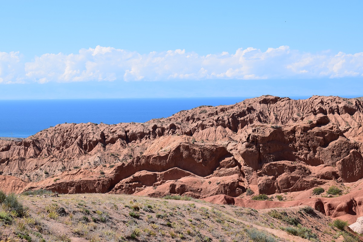
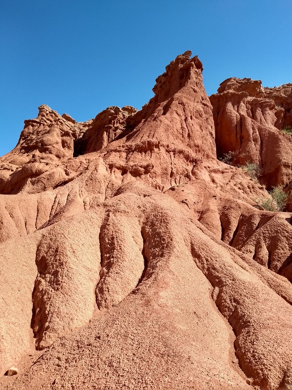
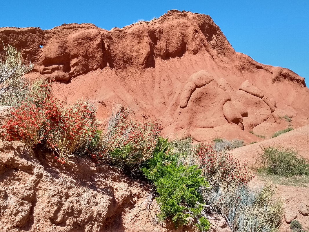
It was time to get back on the road, but we did not have to go too far. The canyon was only 15km away. Fairytale Canyon (Skazka Canyon in russian) is a canyon of red sandstone cliffs and outcrops which have been weathered by the elements to create fantastic shapes.
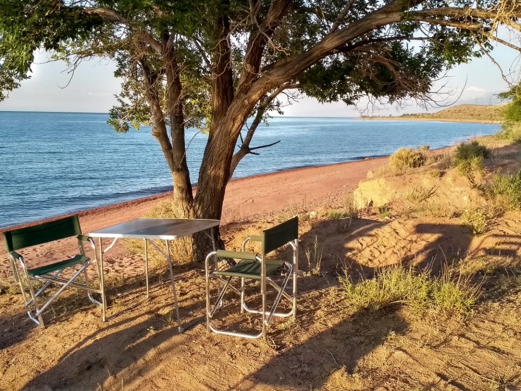
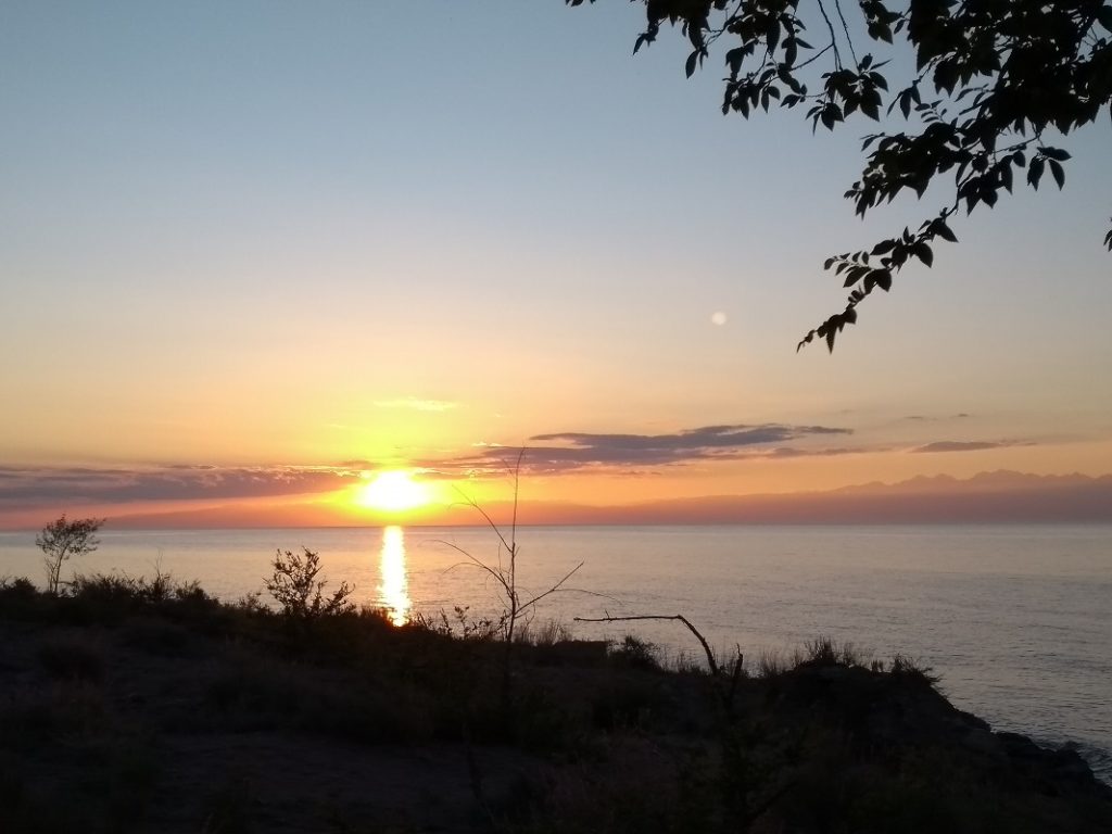
On the way to the Canyon we had stopped for lunch at a secluded place on a beach and we decided to go back there for the night.
Friday 5th July, 2019 – BARSKOON WATERFALL
We stopped at Tamga sanatorium on the way. We were curious to see what was on offer. The sanatorium has seen better days and has not had any refurbishment since its soviet heydays. The grounds are pleasant enough but the rooms were pretty basic with shared bathrooms. The cost was KS 1,000 pp fullboard/ 15 dollars per day per person – reasonable but we declined.
We drove on to the Barskoon valley where you have the choice of several hikes. We decided to go to the waterfall. It is a pleasant hike, quite demanding but not so long . It took us just over 1 hour to go up. On the way we saw a newly wed couple having some pictures taken! The waterfall is quite impressive and even though you cannot get too close, you can feel the spray from the distance.
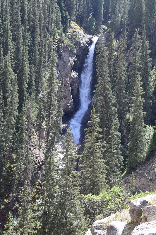
Lower waterfall 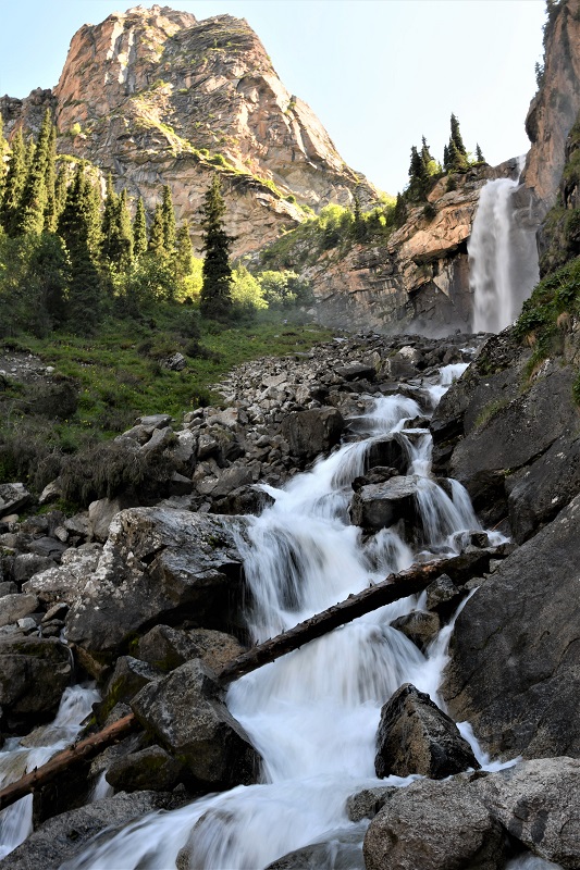
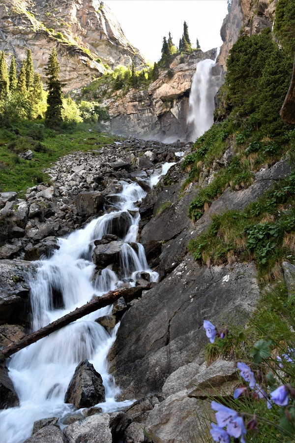
Higher Waterfall
Saturday 6th July, 2019 – KARAKOL
We rejoined the main road and arrived in Karakol midday. Karakol (“black wrist” in Kyrgyz) was initially a russian settlement founded in the second half of the 19th century .Its population grew considerably in the late 1880’s when an influx of Dungans – Chinese Muslims fleeing persecution in their home country – came to live in the town. During the Soviet period, the town was a ” forbidden city” due to the secret submarine and torpedo testing base at the nearby Mikhailovka inlet on the lake. Today it is one of the major focal point for outdoor and adventure pursuit in the country, as well as being a center for winter skiing.
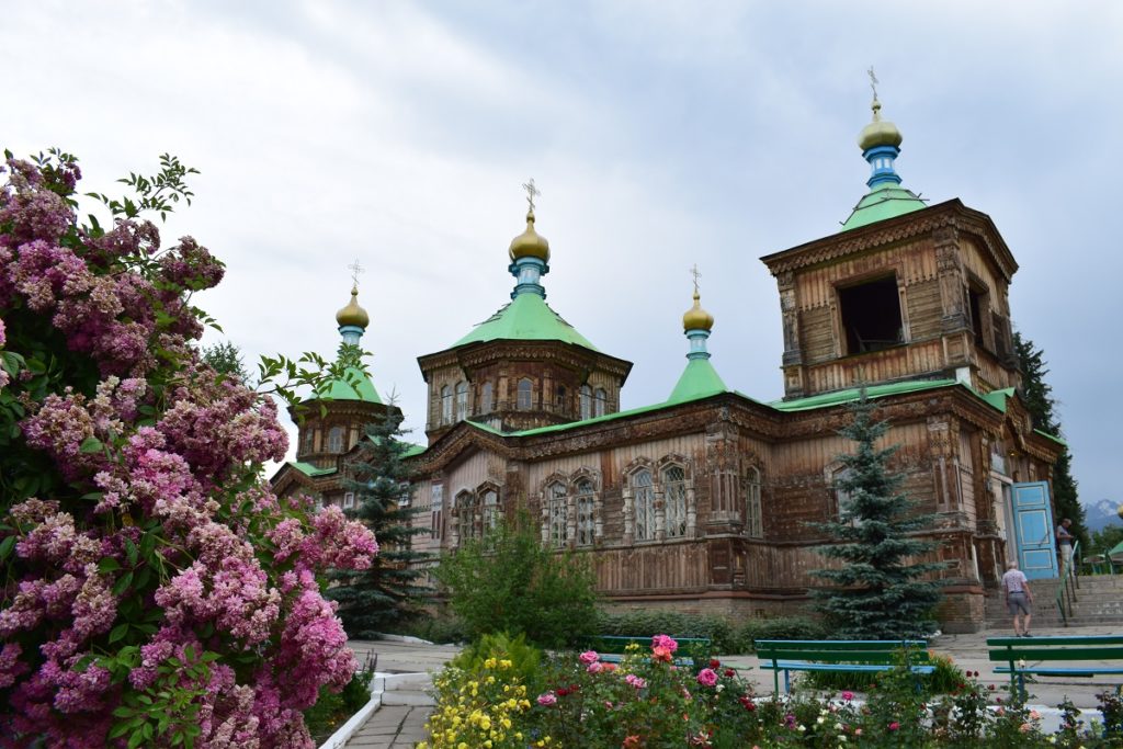
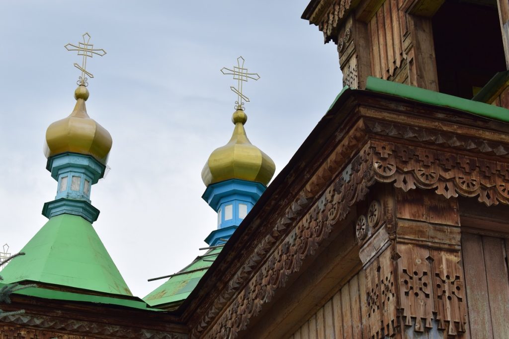
The town has a number of attractions reflecting its past: Holy Trinity Orthodox Cathedral, Dungan Mosque, History Museum as well as a Sunday Animal Market or you can simply enjoy the typical wooden russian architecture in its older quarter around the cathedral.
Sunday 7th July, 2019 – JETI OGUZ
It rained during the night and the weather was still unsettled in the morning but we decided to go to Jeti Oguz nevertheless.
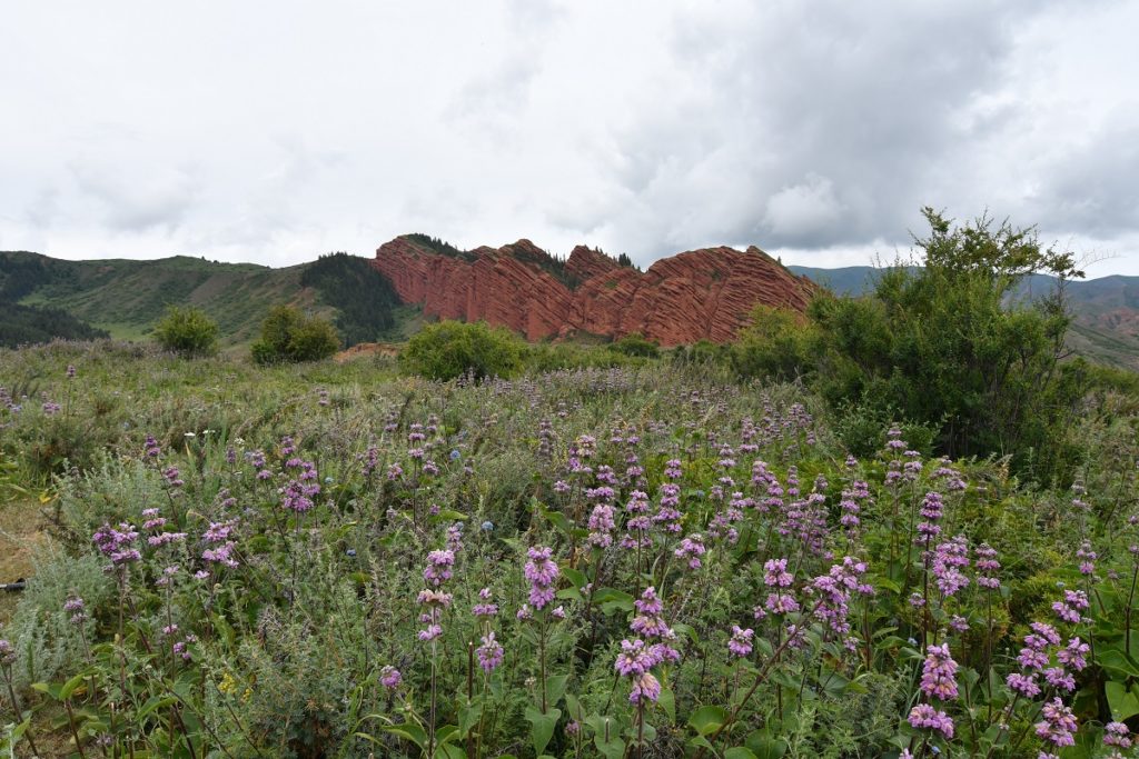
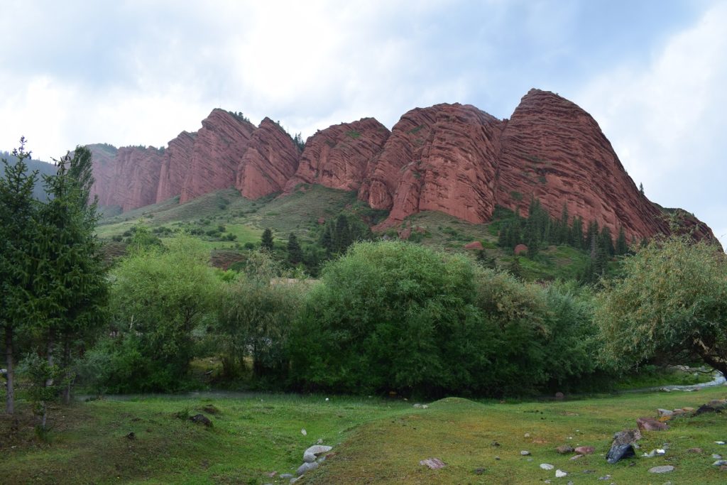
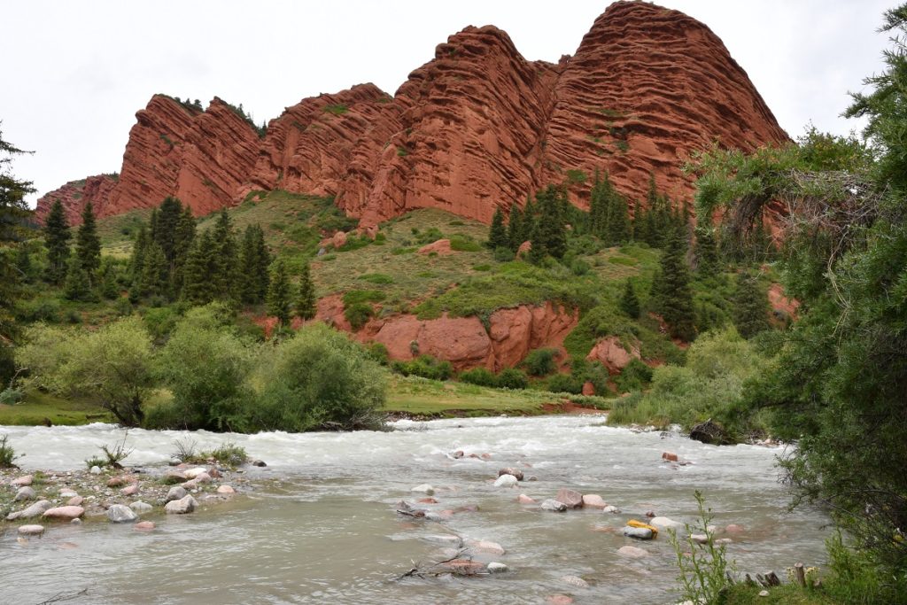
The village is in a valley parallel to the Karakol valley and is famous for its rock formation called Jeti Oguz ( “Seven Bulls”) that lies a few kilometres south of the village. The rocks form a ridge of distinct red sandstone bluffs which do not ressemble bulls in anyway but the name comes from yet another Kyrgyz legend.
“The legend tells of a Kyrgyz khan who had stolen the wife of another khan who sought revenge for the deed. A wise man reluctantly offered counsel and suggested the aggrieved khan should seek out and kill his stolen wife so that the khan might own a dead wife rather than a living one. A scheme was hatched that enabled him to sit next to his stolen wife at a funeral feast, and as the last of seven bulls were being slaughtered he stabbed and killed her. Her heart gushed blood down into the valley below, taking the carcasses of the seven sacrificial bulls with it to become the seven large rocks which can be seen today. Another legend tells of seven rampaging wild bulls which were turned to stone by the gods in order to protect the local population.”(Bradt Guide- Lawrence Mitchell).
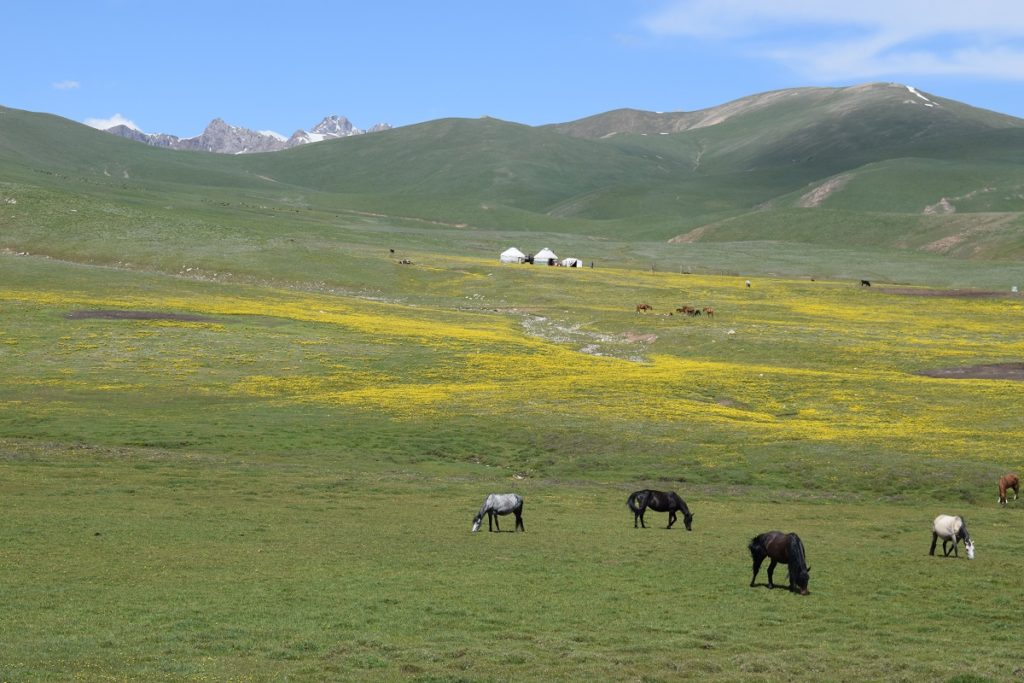
The road continues up to a sanatorium and then turns into a dirt road leading to the ” Valley of the Flowers”. We picked up a local man who flagged us down. He was going that way too. The track follows the river and crosses it 5 times before arriving on a jailoo where summer yurt camps are set up.
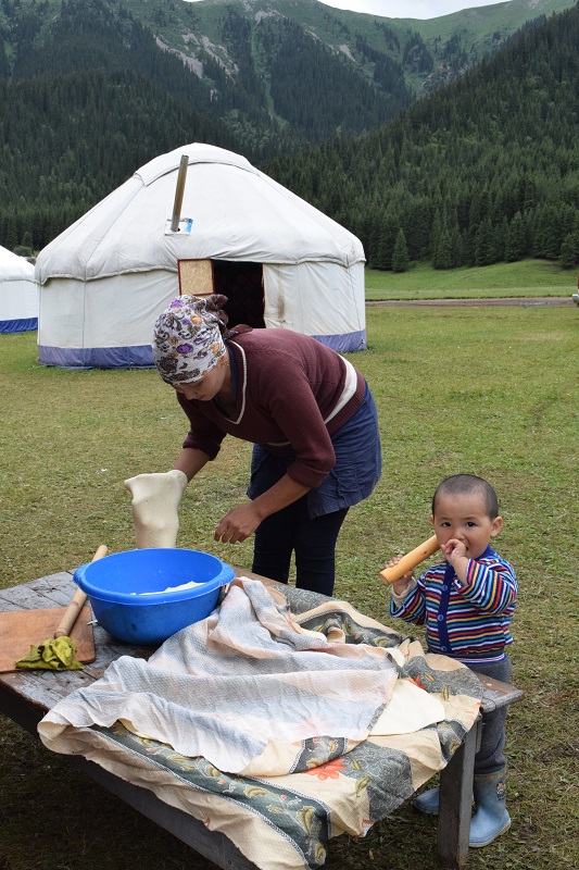
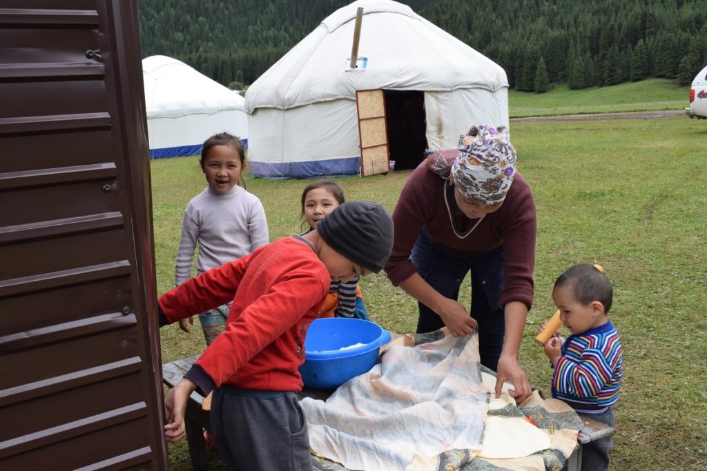
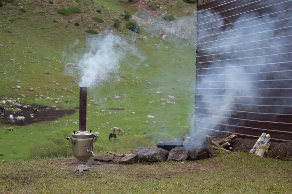
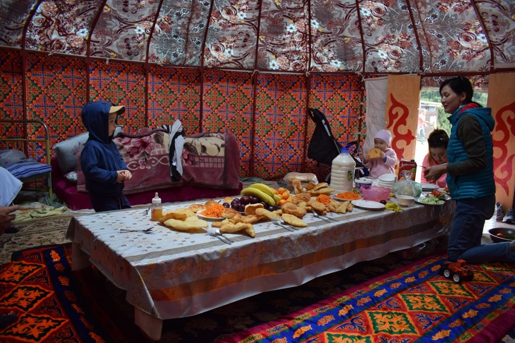
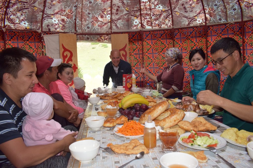
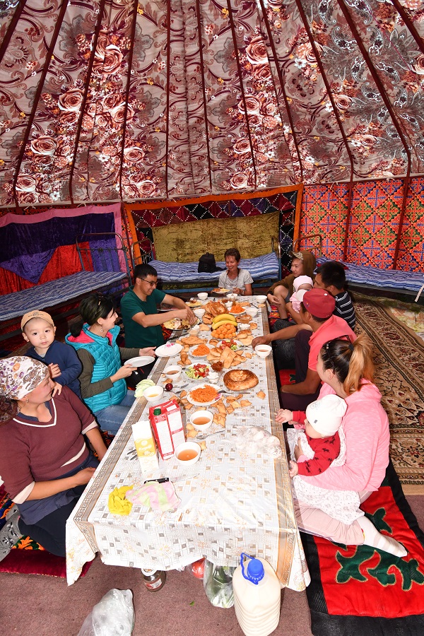
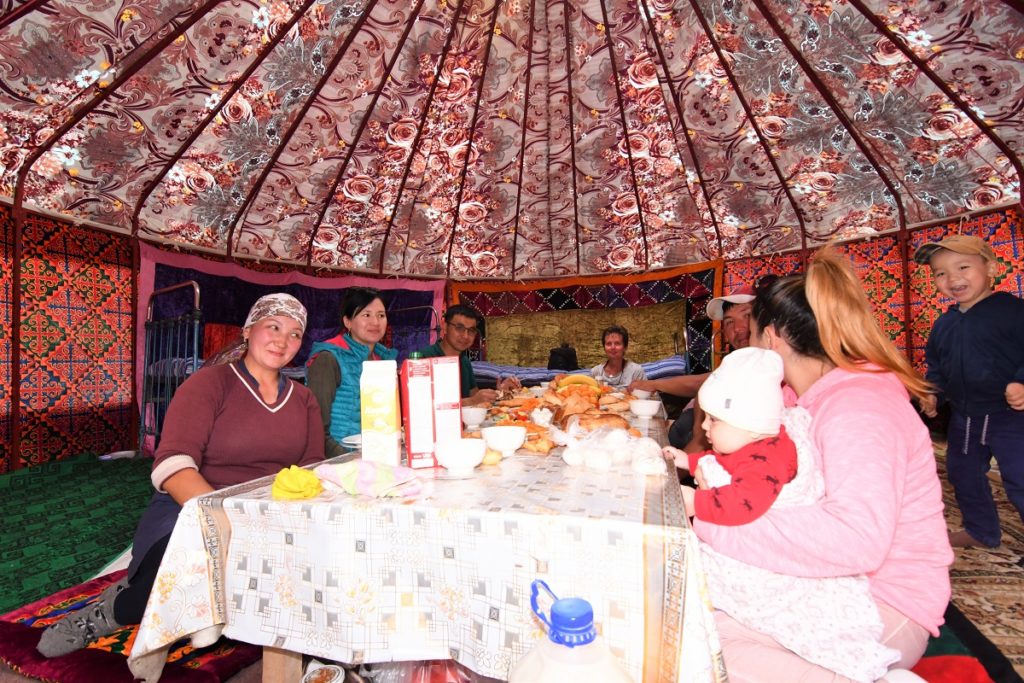
We dropped him off near a yurt and were invited for tea. His wife was preparing some traditional ” Boorsok”( fried pieces of dough) by a campfire. The water for the tea had to be heated in a samovar, placing small ambers in a metal funnel running in the center of the samovar. It was a slow process. Some of their friends arrived and soon we were called into the ” guest yurt” where the lunch table was set. We were asked to sit at the head of the table ( as we were the older persons present and guest of honor!) and they happily shared their meal with us. Their friends had come from Karakol for the day. Both men were working in the legal sector. They were interested to learn about our trip, family etc…
Before the meal, we had seem a young boy on a horse bring some kymis and we were served a bowl each at the table. This was not the fermented kind and was not so strong smelling as the one we had tried before. Our hosts explained that there were in fact 3 types of kymis: 1) the fresh milk from the mare 2) the milk which has been beaten for a period of time and 3) the fermented drink
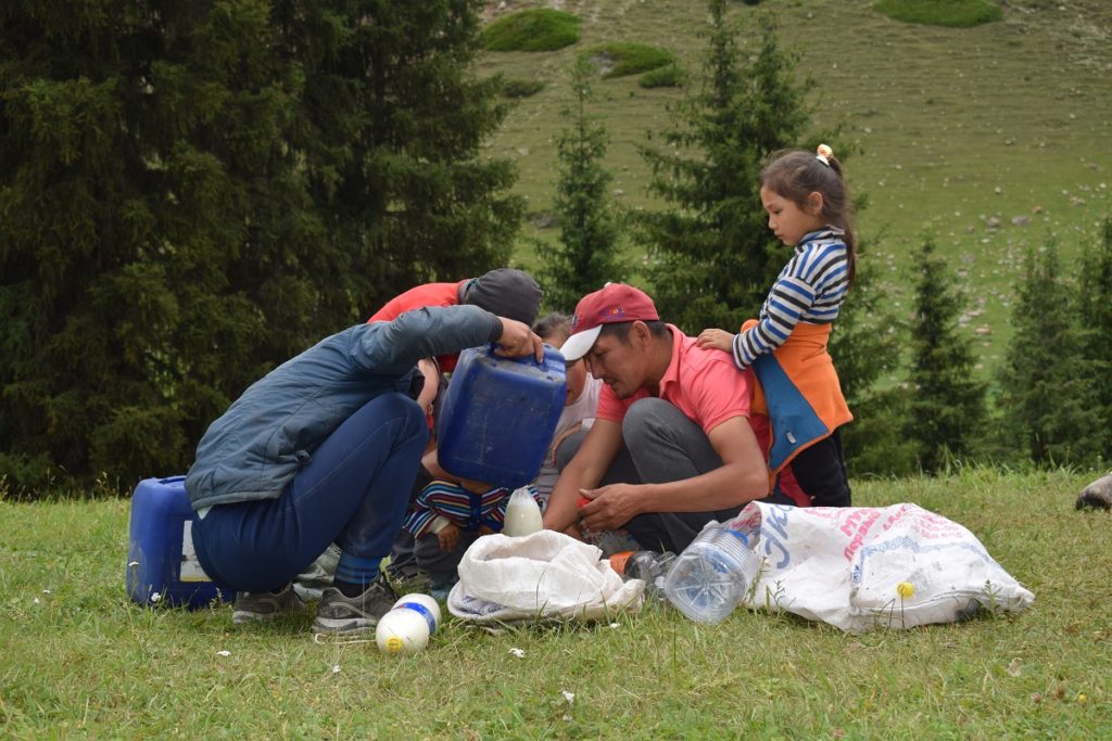
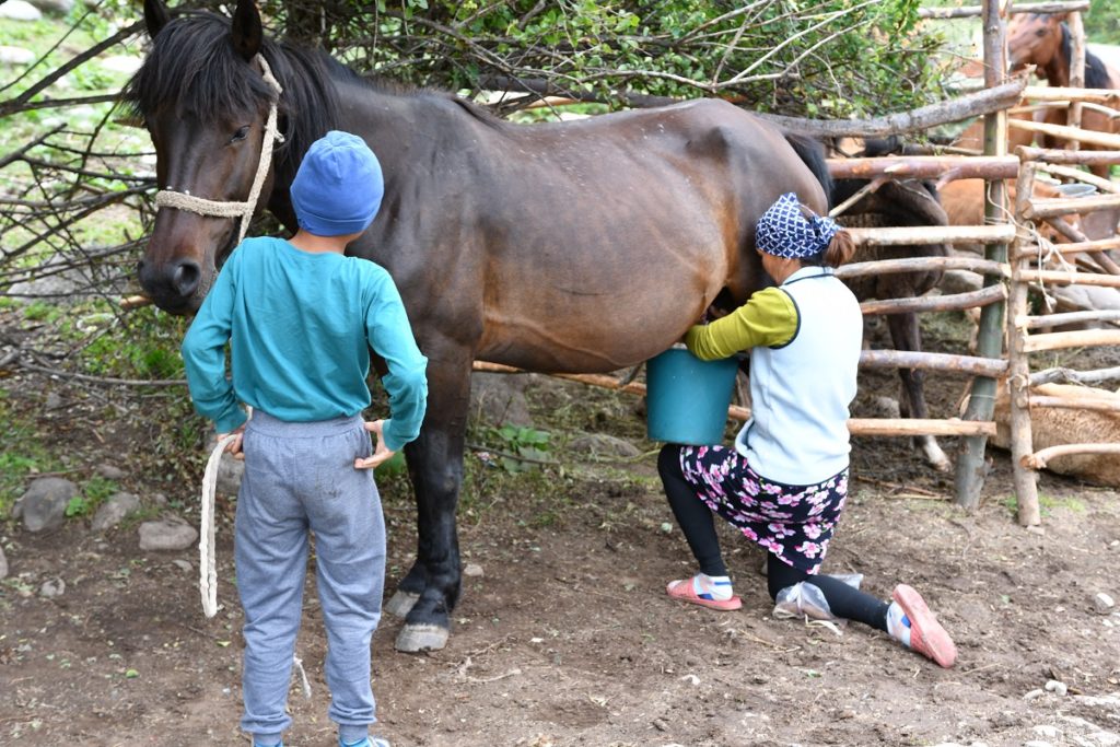
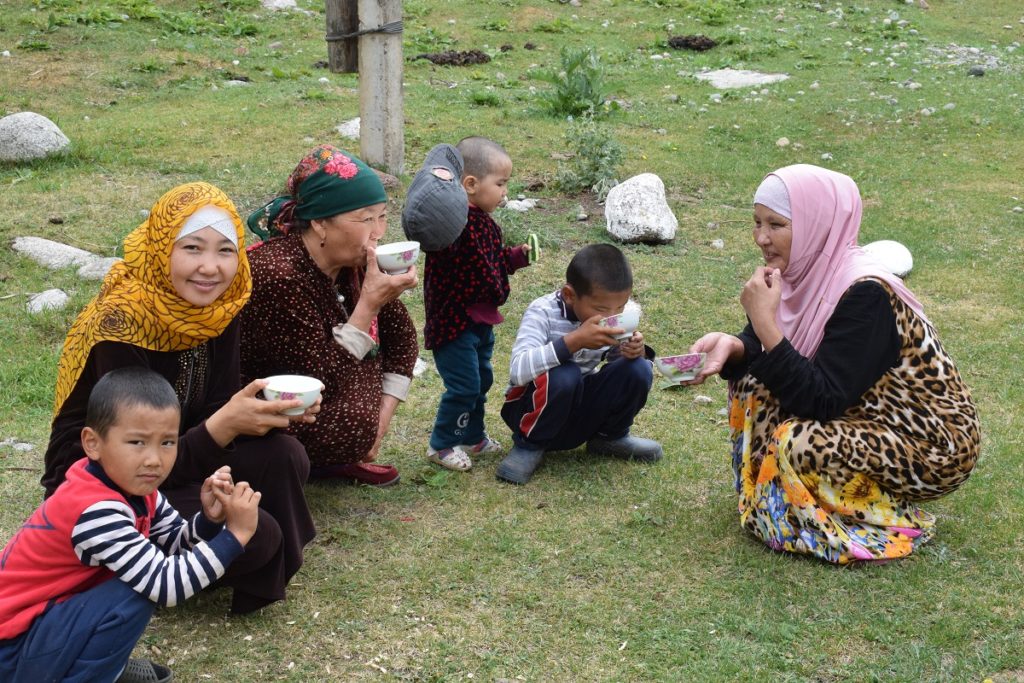
Drinking kymis from a pyala ( small ball)
Towards the end of the meal, the vodka came out and we , as guests, had to raise the first toasts! Luckily it was a small bottle so it remained a limited drinking session !
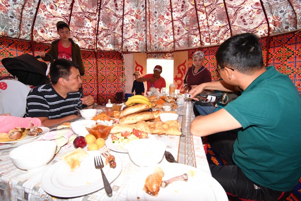
Rain had come again and we abandonned our plans for a hike. We said our good-byes and came back to Karakol.
Monday 8th July, 2019- Aksu Valley
This time we tried another valley a few kilometres east of Karakol. There is a hot spring and a sanatorium plus potential for hikes. The road turns into a dirt track straight after the village of Aksu and it is pretty rough. We kept going for a while but in the end decided to continue up the valley on foot. This is a popular access road for multi-day treks and we saw numerous 4×4 going up the valley as well as people on foot or on horses. There is a basic camp there. We only came for a day trek so turned back after a while.
The valley is quite narrow and there was no camp spot possible so we decided to make our way round the eastern point of the lake and ended up right next to fields of wild flowers and with a view. Another ideal spot!
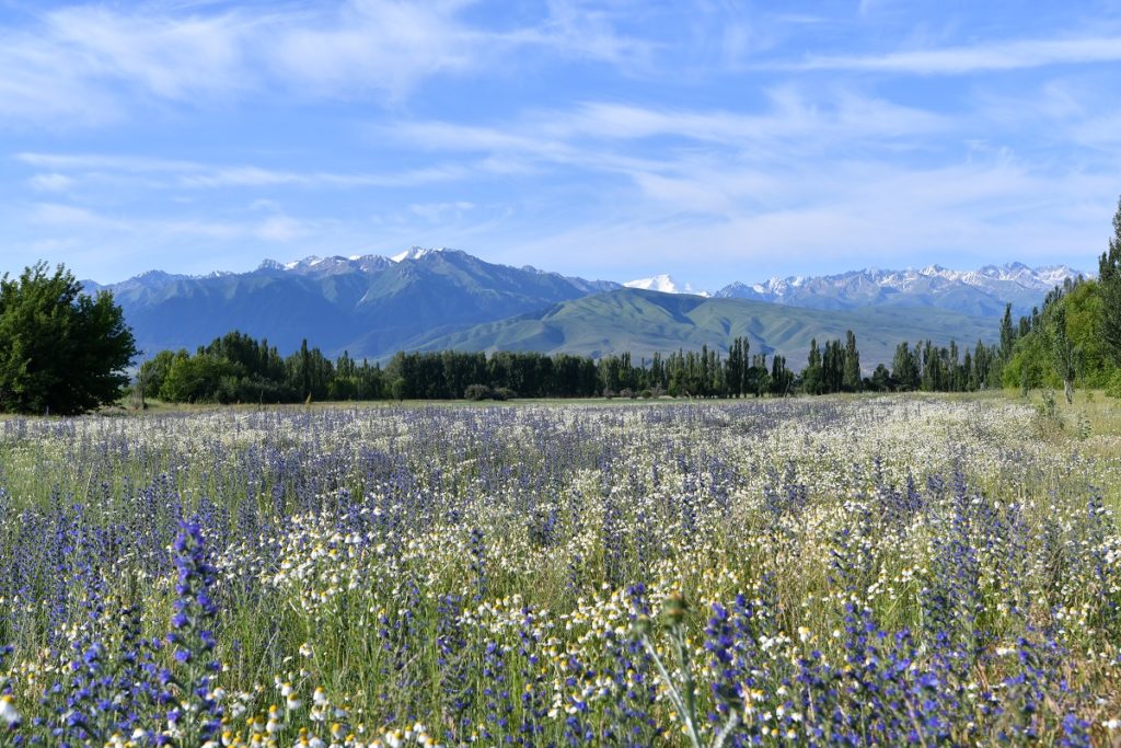
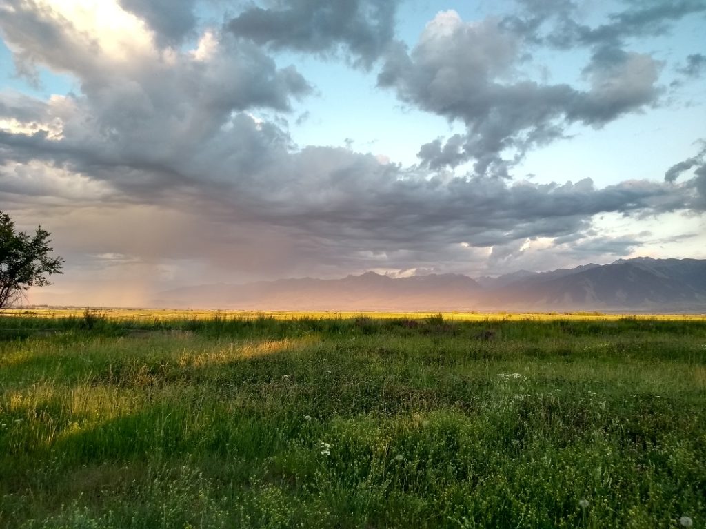
Tuesday 9th July, 2019 – Tyup and the northern shore
We carried on to Tyup. The road is inland but after a while it follows the lake shore again. We stopped at a beach for lunch. It was deserted but after an hour or so, groups of children and locals with their families started to arrive . The beach was sandy but it turned into stones a metre or so into the water. On the good side it was fairly shallow for some metres so the water was not so cold. ( maximum temperature 20 degrees). We spent a couple of hours there before moving on. This time we found a camping spot in a tree plantation.
Wednesday 10th July, 2019 – KARAKOL
It rained most of the night and only started to clear by late morning. We made our way back to Karakol and chilled.
Thursday 11th July, 2019 – JERGALAN
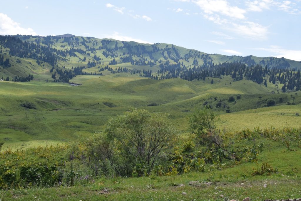
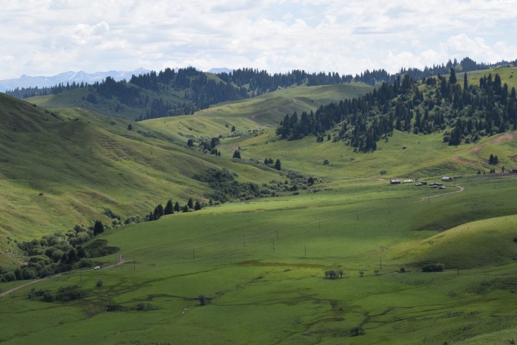
Drove to the Jergalan valley which is last valley before the border with Kazakhstan and on the edge of the Karkara Valley. The road is unpaved but not too bad. A couple of kms away from the village, we parked the car and did a short hike. We then settled into a camping spot, sheltered from the road.
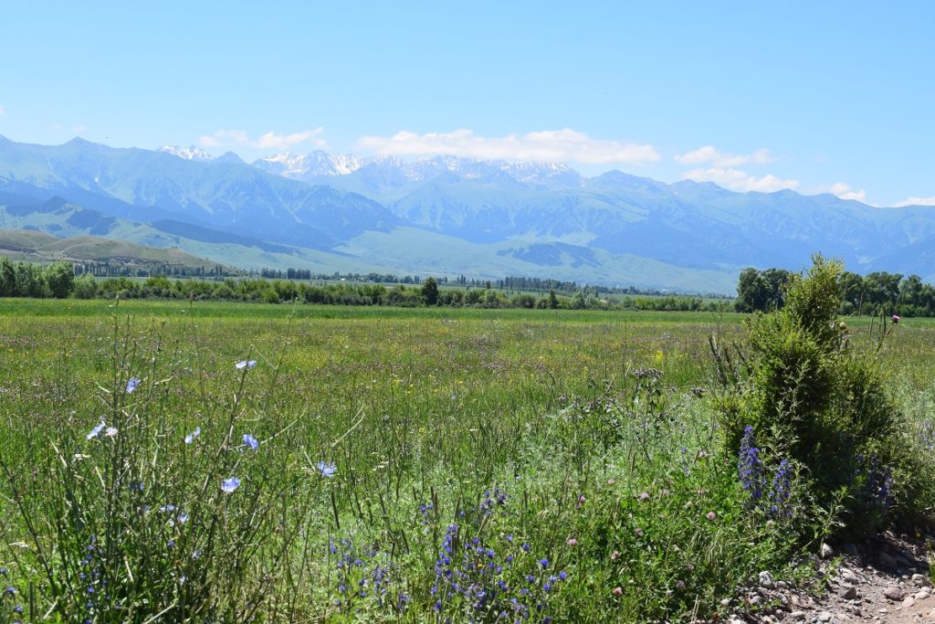
On the way to the Jergalan valley 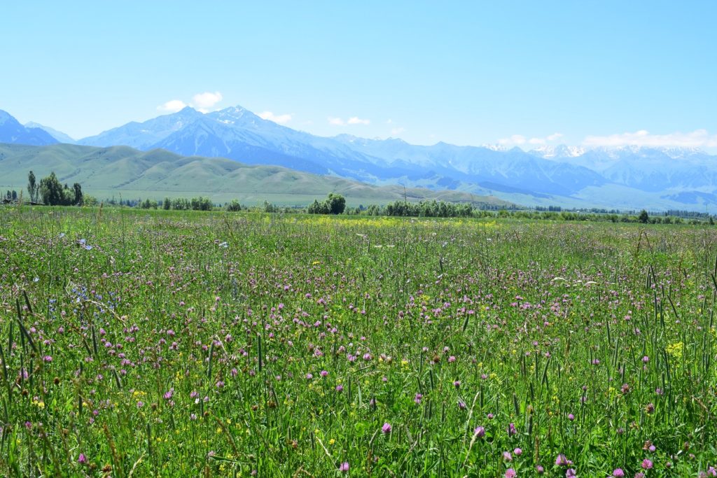
Fields of wild flowers 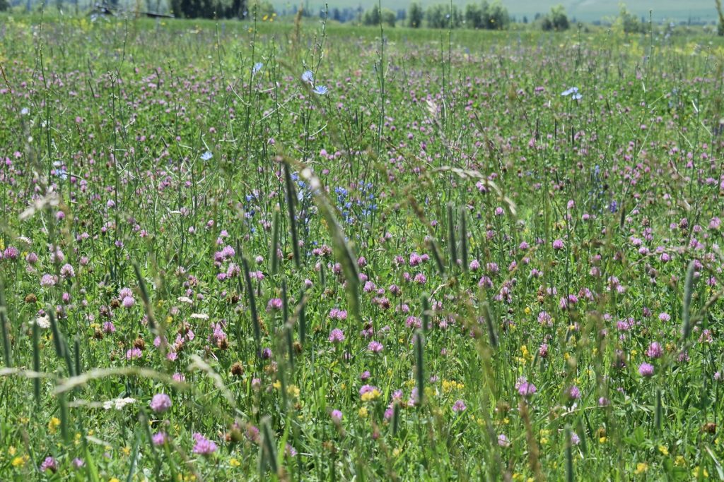
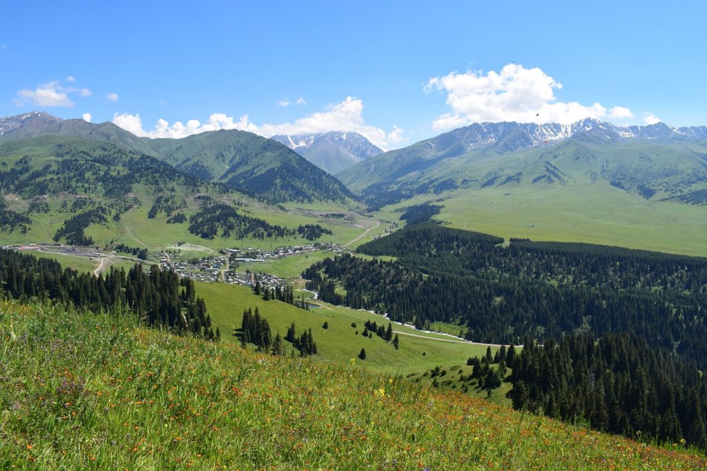
Jergalan village 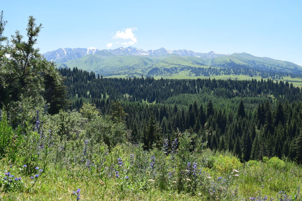
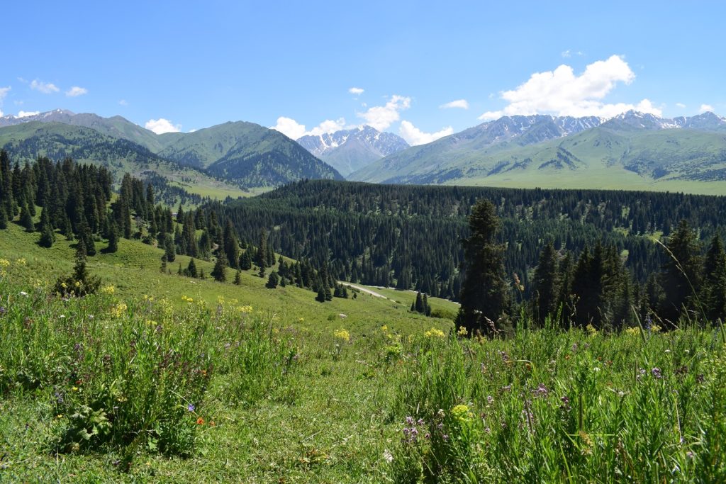
Friday 12th July, 2019 – Jergalan- Hike to Lake
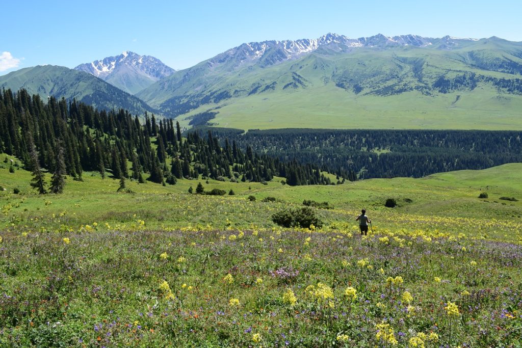
Decided to do a 13km hike to a small lake. The path was clear initially but then disappeared and we had to rely on our Maps.me app on the phone. We eventually got there. It was more of a pond than a lake and quite marshy but we enjoyed the views and walked through jailoos full of wild flowers.
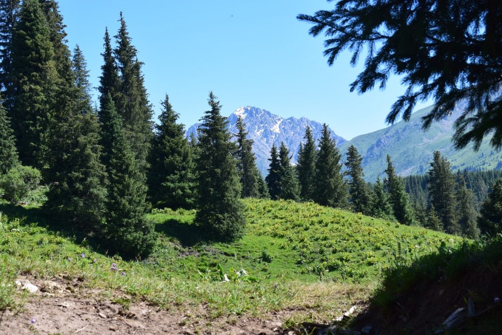
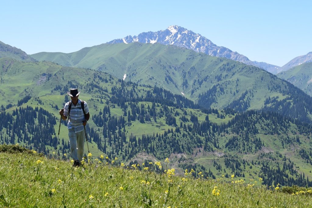
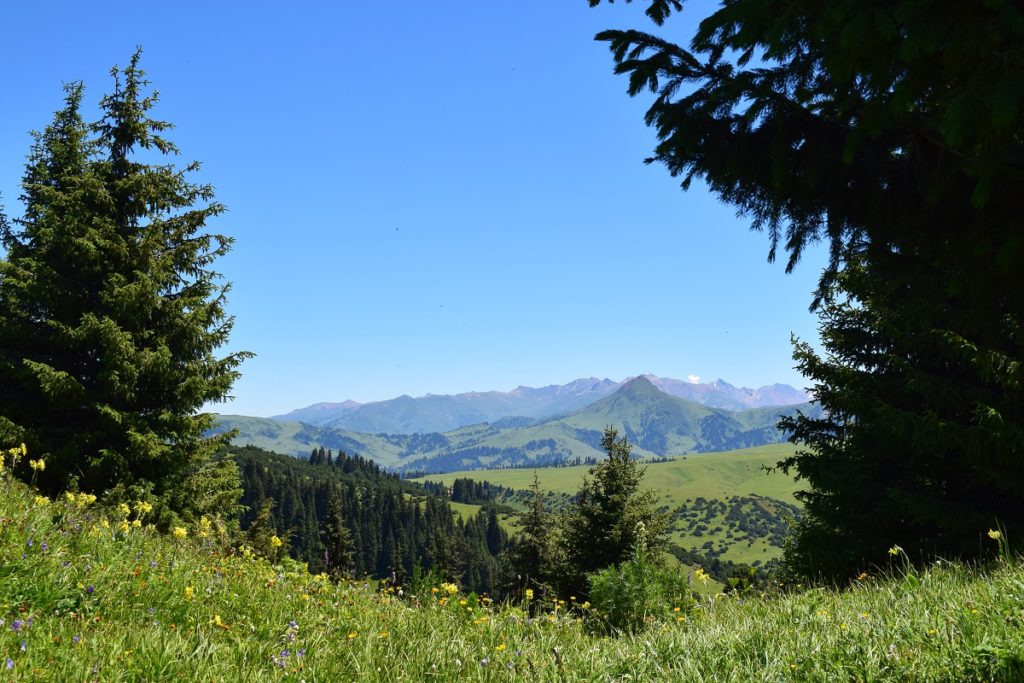
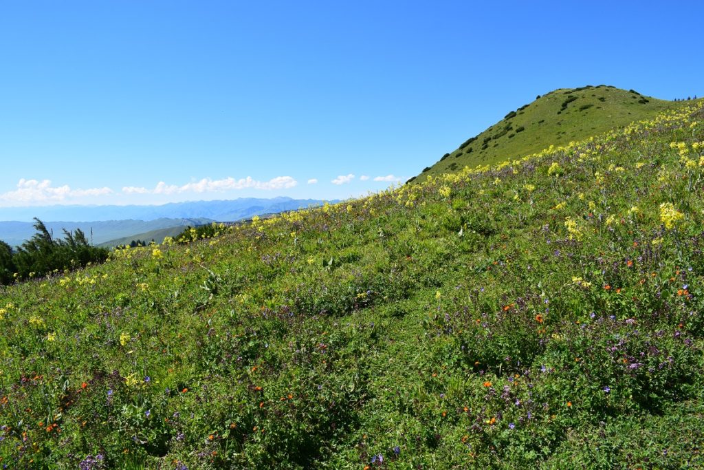
Wild flowers everywhere… 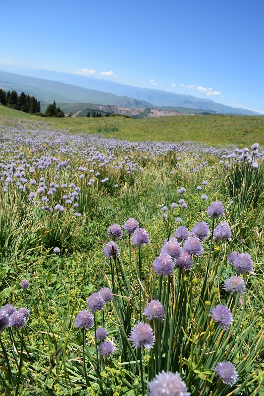
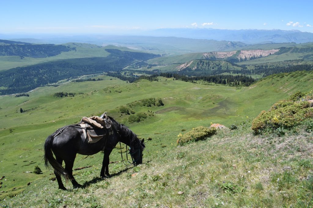
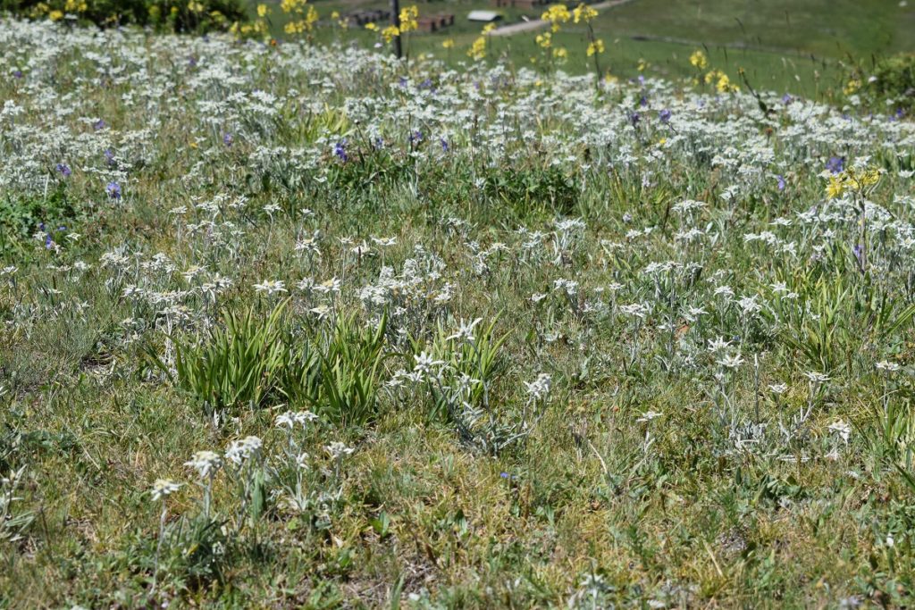
Fileds of Edelweiss! 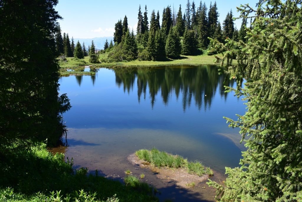
After the hike we went to the village to buy a few groceries and we bumped into Thibault and Clara ( French hitchkikers ).
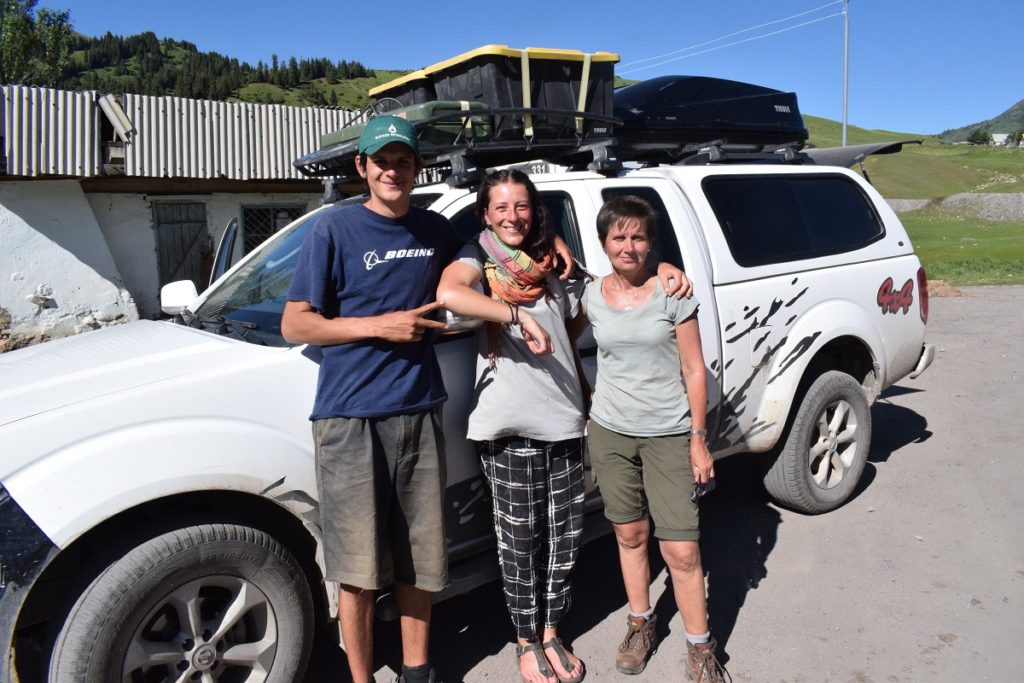
It is the second time we meet unexpectantly after we first met them and picked them up on the way to Song Kol Lake. Small world! We were pleased to meet them and exchanged the latest news about our respective movements.They had done the Karakol loop and were about to go back to Karakol on the waiting marshrutka. We said our goodbyes for the last time as next, we were going to Kazakhstan and they to Armenia. We camped in the same spot as yesterday.
KYRGYSTAN – Tash Rabat – Naryn – Kochkor
Tuesday 25th June, 2019
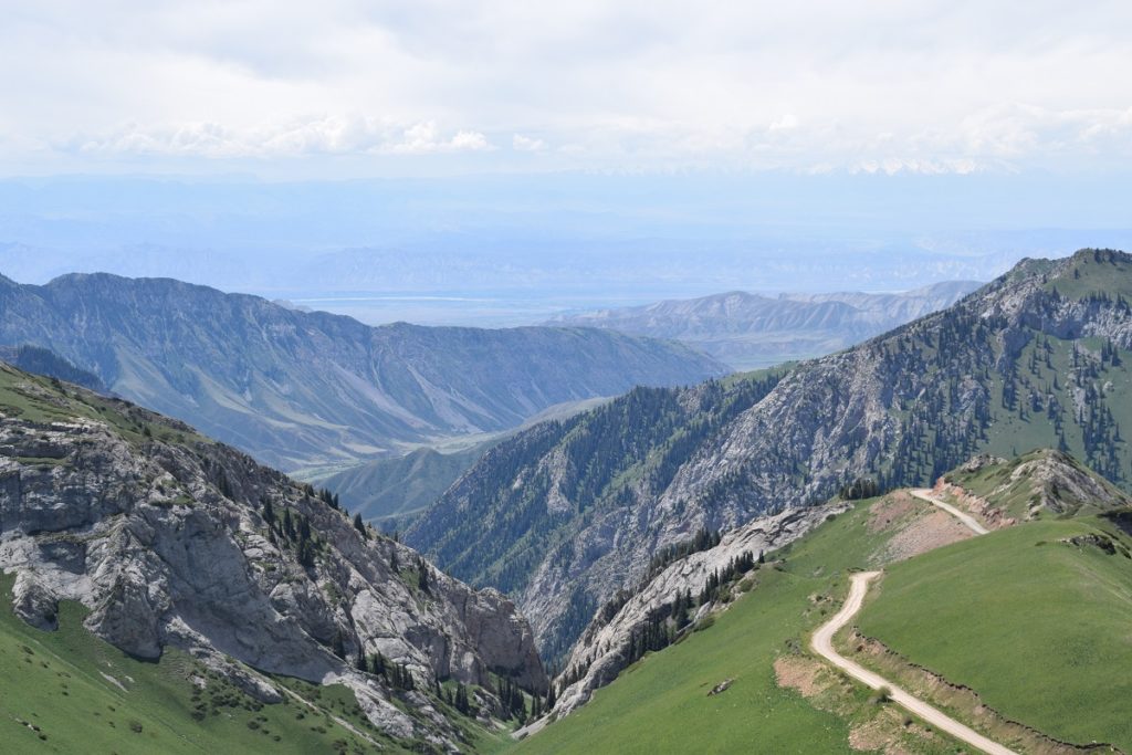
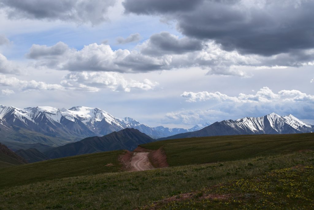
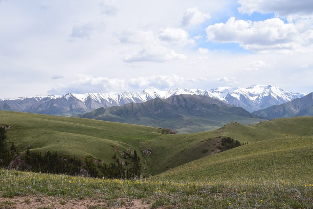
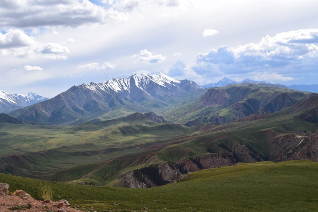
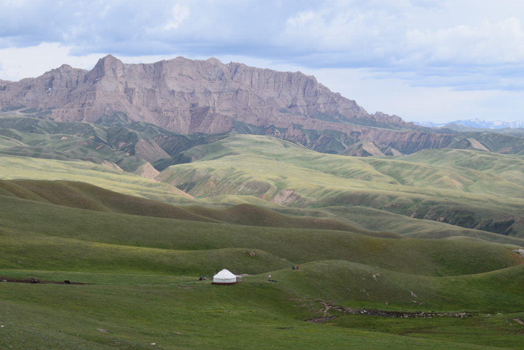
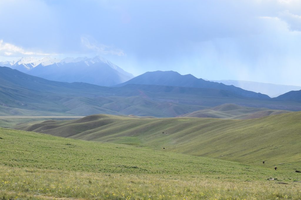
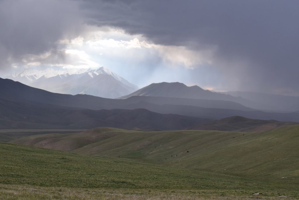
From Song Kol Lake we had 2 options, go around the lake and rejoin the road that goes to Kochkor( north -east) or take a small dirt road going south to Baetov(o) and then south -east to Tash Rabat, before going back north to Kochkor. We took a gamble as we did not know the state of the road and headed south. It paid off as the road, although dusty was not bad and was well used by locals. We had some fantastic views as a bonus!
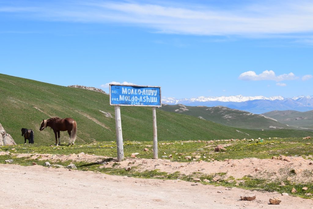
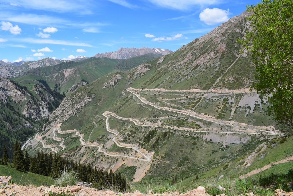
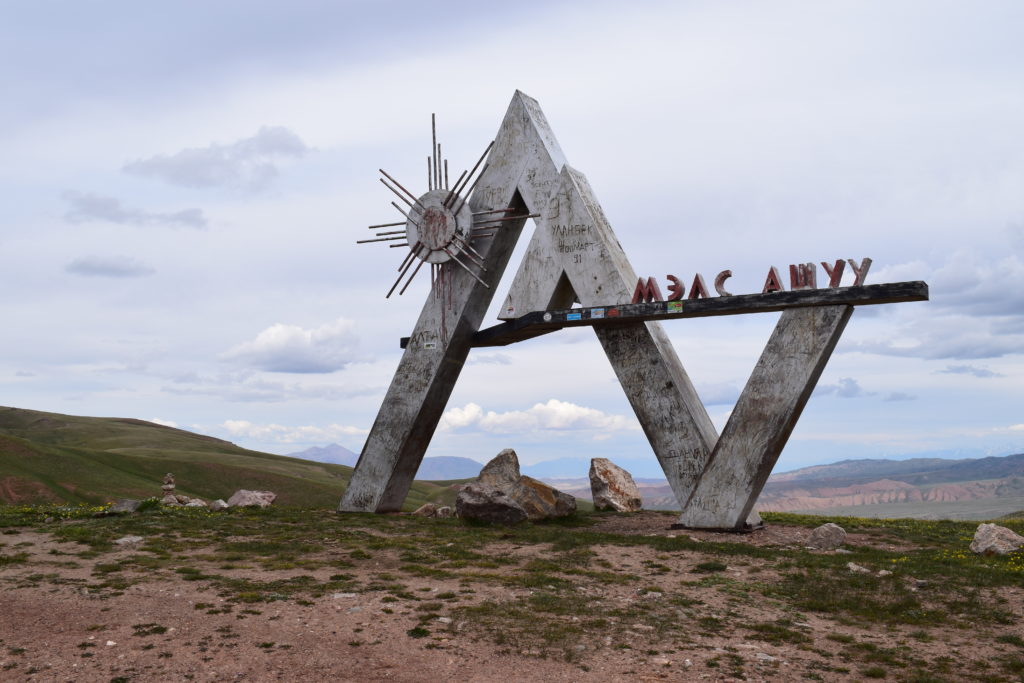
We started to climb up towards the Moldo-Ashuu Pass (3,346m) going through green jailoos at first and then through a very twisty road.
At a view point, some local men, offered us some kumys (mare’s milk, fermented with a low degree of alcohol). The smell was very smoky and an acquired taste! The season for kumys is from early summer to September and this is very popular. It is normally prepared by nomads and sold alongside the road in plastic bottles. It is credited with having some health benefits. The men were out on a party and they had obviously had something a bit stronger as they seemed to be very merry! We made a quick exit: we did not want to be behind them on the road.
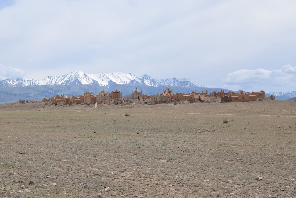
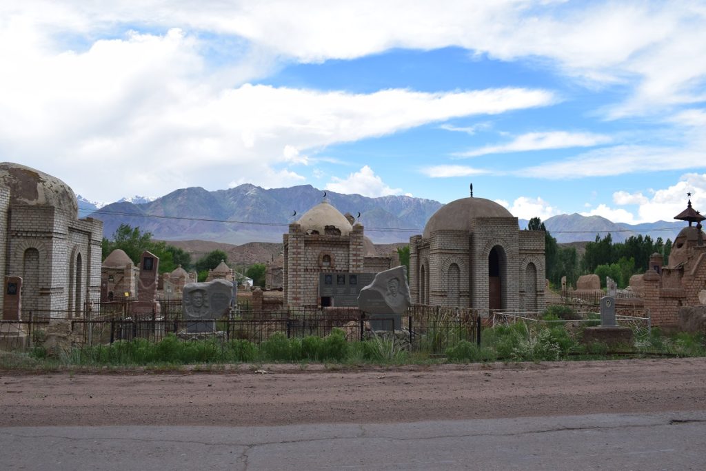
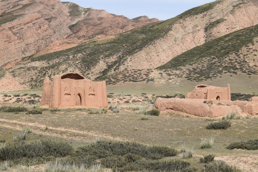
We came down a valley with a complete change of scenery, almost desert like with only a few tuffs of hard grasses growing, passing on the way what appeared to be a small village in the distance but was in fact a cemetery. This is common in Kyrgystan, and are called ” cities of the dead”. Each tomb is an elaborate mud brick construction resembling a house or sometimes the metallic birdcage like frame of a yurt. They are a unique feature of the countryside and are often standing a little way outside the village, on top of a low hill and are frequently more impressive than the village itself.
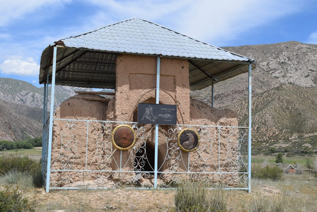
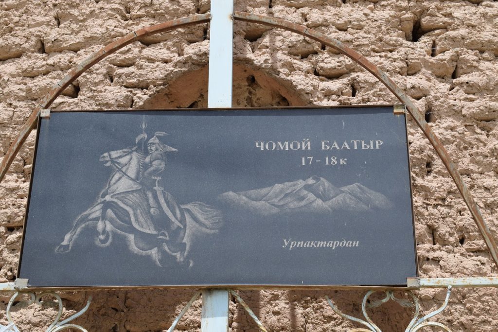
We also came across some old mausoleum of local heroes
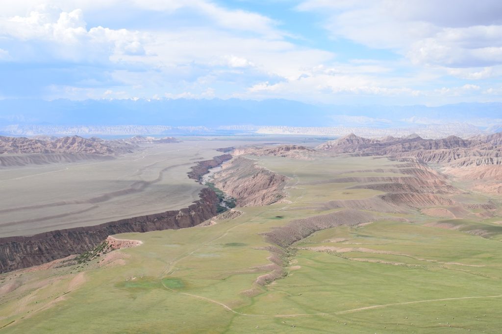
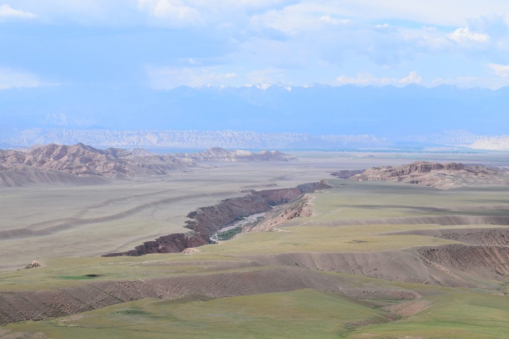
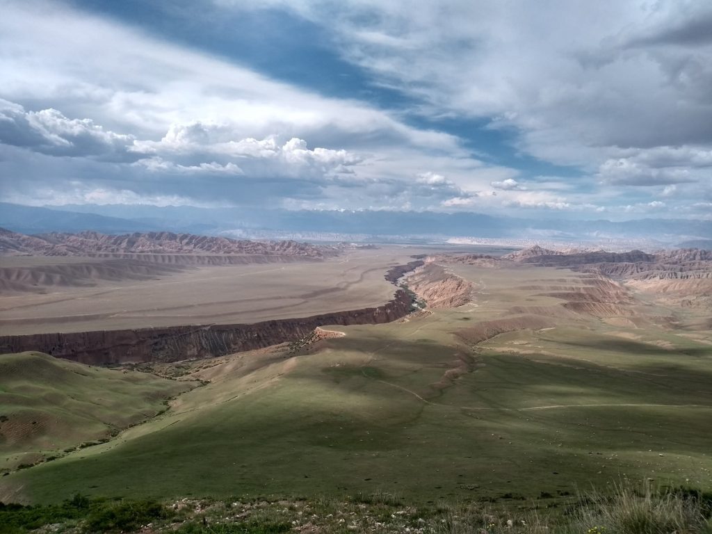
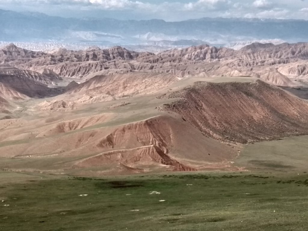
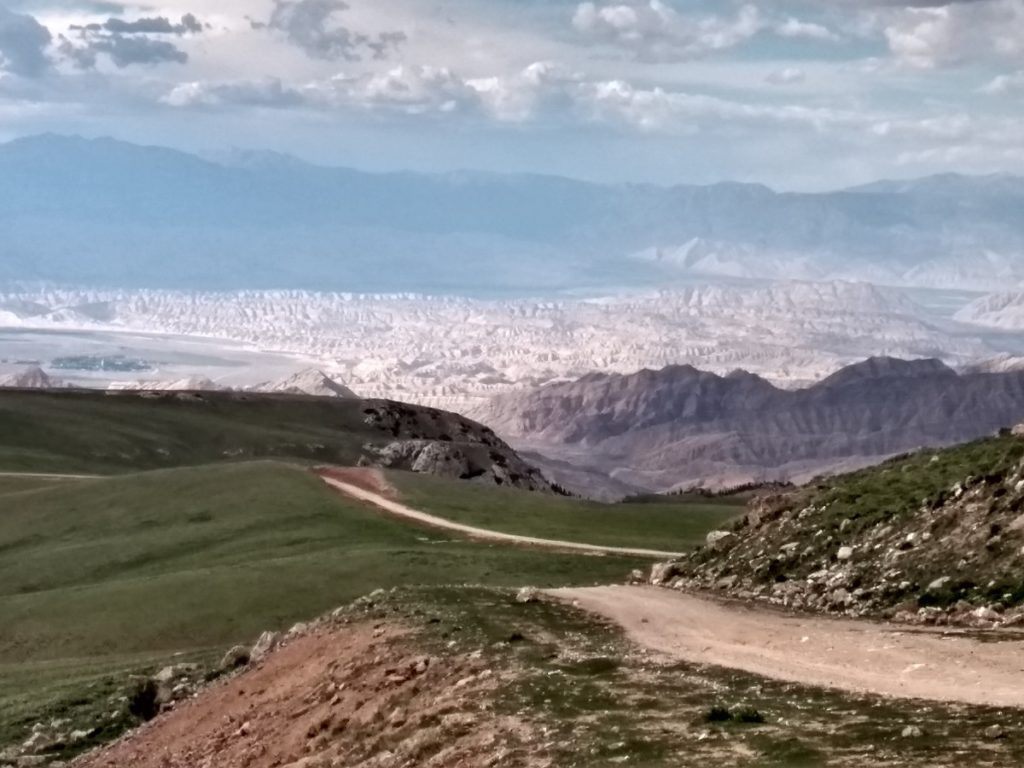
As we climbed yet another pass, we were rewarded with some spectacular views of a long canyon dug by a river in the red/orange soft stone and a multitude of ripples in various shades of orange, yellow and pink going through the valley.
Top of the pass:
… and we settled for the night with another splendid site… although the weather quickly deteriorated and we were battered by strong winds and rain whilst the storm blew over us.
Wednesday 26th June, 2019 – TASH RABAT
Tash Rabat was only 30 km away and we got there just before 10 am. We had to find the keeper to open the gate to the building.
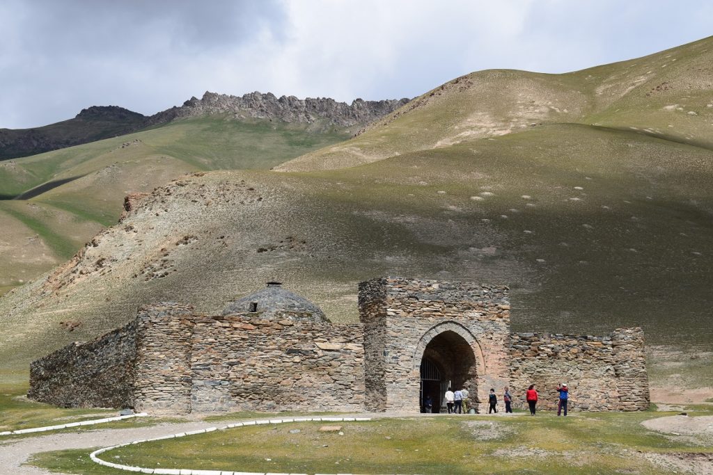
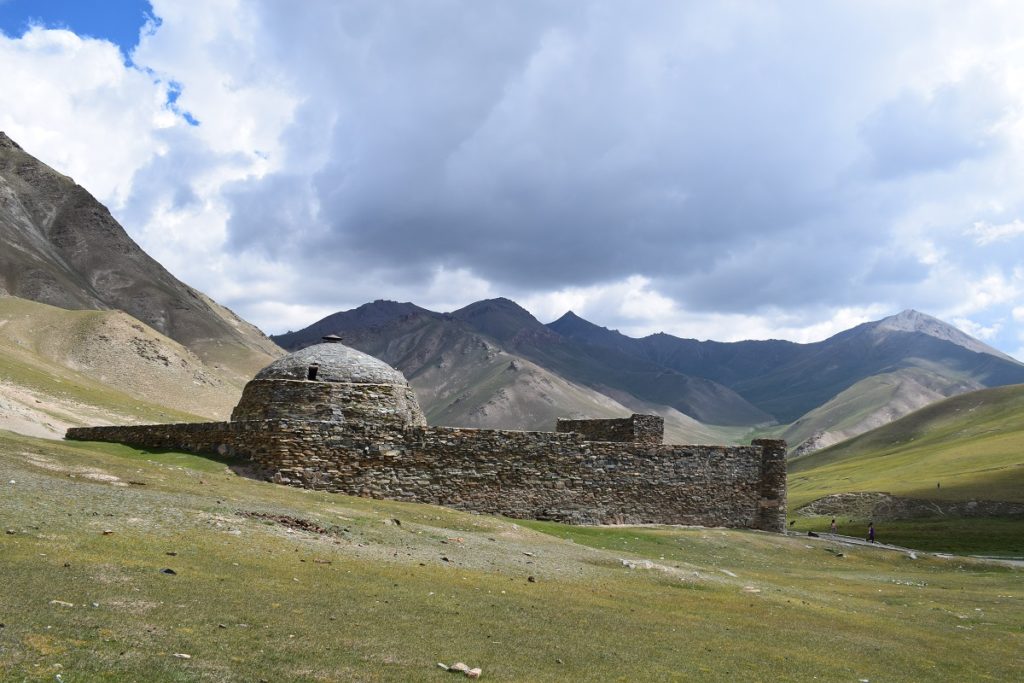
Tash Rabat is a 15th century caravanserai that sheltered merchants and travellers along one of the wildest stretch of the Silk Road. It is on the road leading to the Torugart Pass and China, less than a 100 kms away.
It is tucked away from sight, half buried in a hillside, up a valley at 3,530m altitude. It is entirely built of stones, around 36m long , with a central hall surrounded by a network of 30 ,or so, small rooms which would have served as bedrooms, prison cells, pantries and prayer rooms etc. There is also a well. The building was a place of rest but also of protection from both bandit attacks and the sometimes atrocious weather.
We rejoined the main road that leads to Naryn and stayed there the night.
Thursday 27th June, 2019 – Friday 28th June, 2019 – KOCHKOR
Kochkor is a small market town that stands at the crossroads of many visitors on their journeys between the capital Bishkek in the north and the south eastern Naryn province. It is also a gateway to Lake Issyk-Kul and the Terskey Ala -Too mountain range.
We did a hike towards Lake Kol-Ukok. A dirt road ( quite bad) leads up to a river crossing , some 15 km from town where you have to leave the car and continue on foot. We were short in time and did not complete the whole trek but once you have crossed the river you are on the Tez Tor jailoo with a few yurt camps and nice views down the valley.
