March 30th- April 9th, 2023
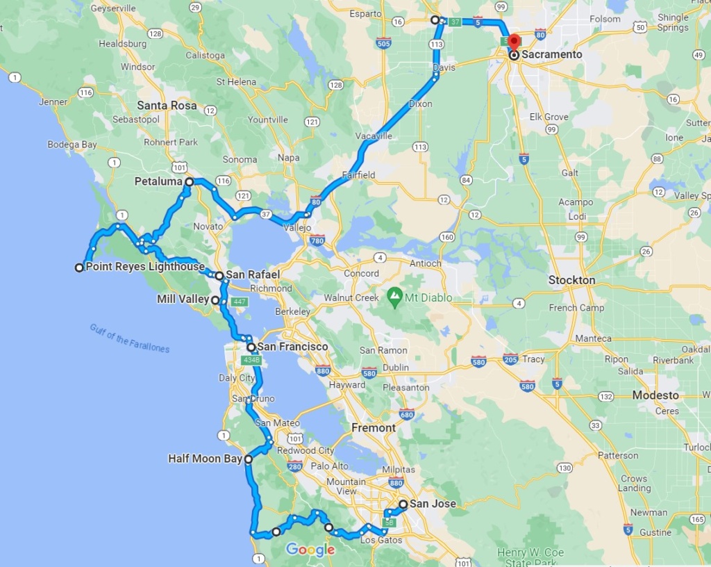
We wanted to rejoin Highway 1 along the coast so took small roads cutting through the coastal mountain chain. Here again we had to backtrack a few times because of road closures but we had nice scenery and went through forest of the famous Coast Redwoods.( more on these in a later post!)
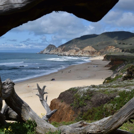
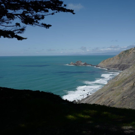
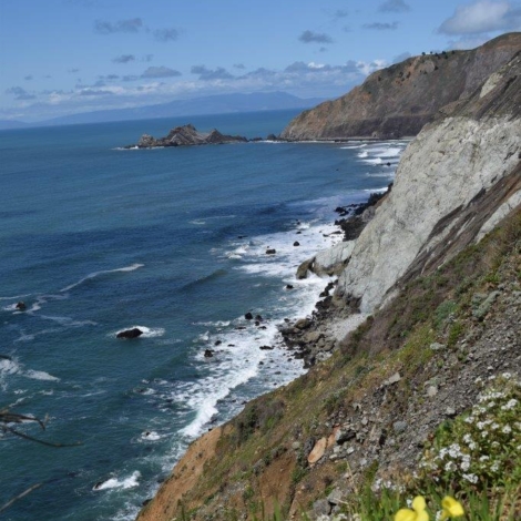
We rejoined Hwy 1 at Pescadero and headed north towards Half Moon Bay. This part of the coast is full of winding curves on the edge of the cliffs overlooking the shoreline . We stopped at Devil’s slide, once known for landslides and accidents, hence the name! This portion of Hwy 1 was first open in 1937 and was also the location of a military triangulation station and observation site used during World War II as part of the harbor and coastline defense of San Francisco. You can still see the building. In 2013 the coastal road around Devil’s slide was shut down and a tunnel for cars was built to replace this treacherous portion of the road instead. Now the almost 1 1/2 mile trail is the only spot along the Pacific Coast Highway where you can walk with no cars.
[Click on the picture to open gallery]
San Francisco
As we neared San Francisco, we stopped at a “Park and Ride” car park and took public transport to get into town. It was pretty straightforward, the train got us to Powell street, Downtown in just under 25mn.
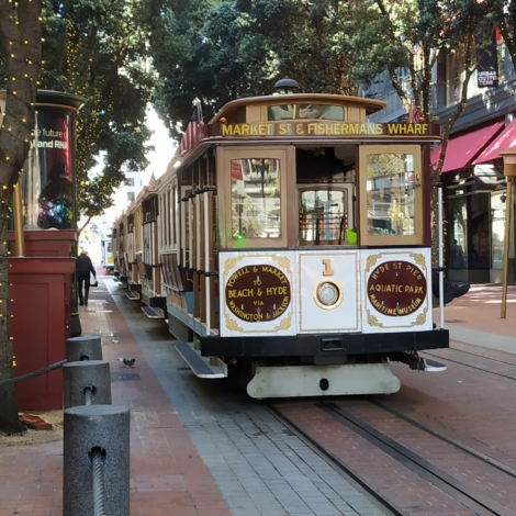
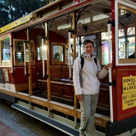
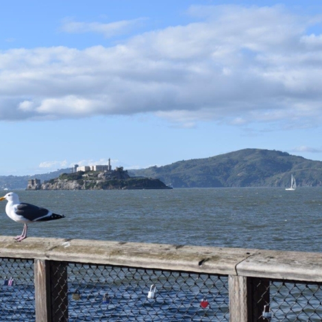
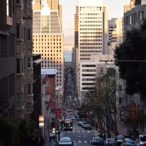
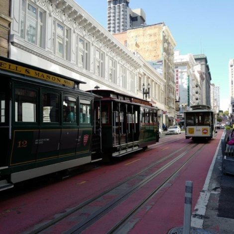
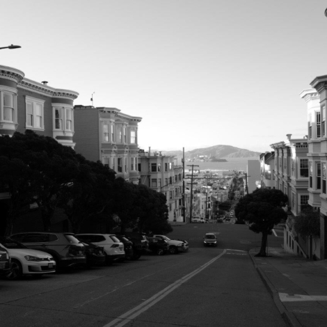
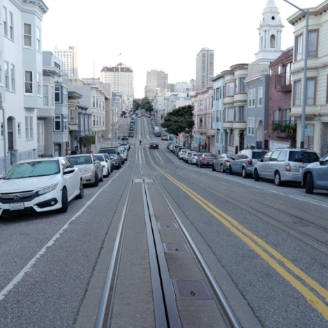
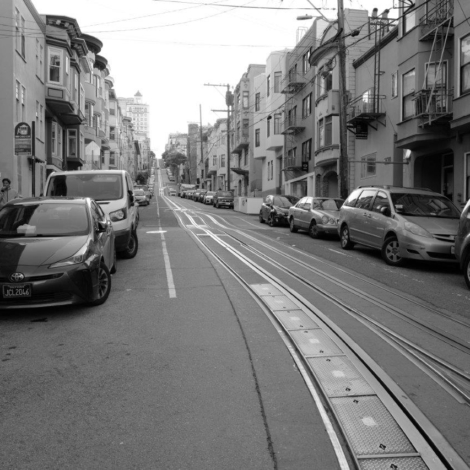
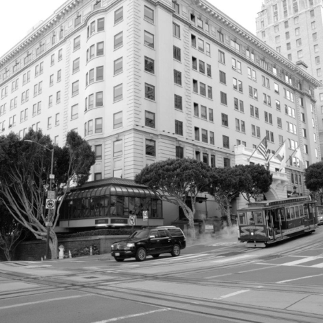
We walked to China Town, passing the famous streetcars going up and down the hills.( SF is built over 7 different hills) then on to the Embarcadero and Fisherman’s Wharf and Pier 39 which has been transformed into a shopping area. From there you can board a ferry to go to Alcatraz, 1,5 mile away from the coast.
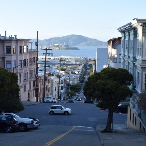
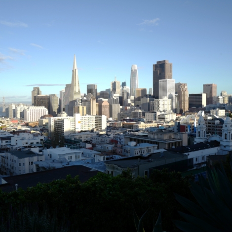
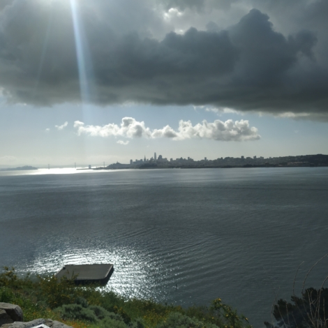
We continued on to Russian Hill from which you have a nice view of the City and the Coit Tower, a slender white concrete column rising from the top of Telegraph Hill, which has been an emblem of San Francisco’s skyline since its completion in 1933.
[Click on the picture to open gallery]
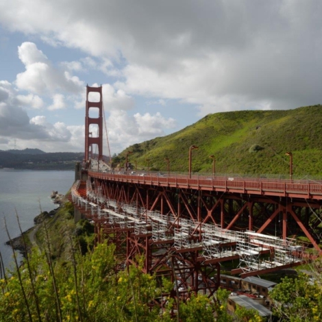
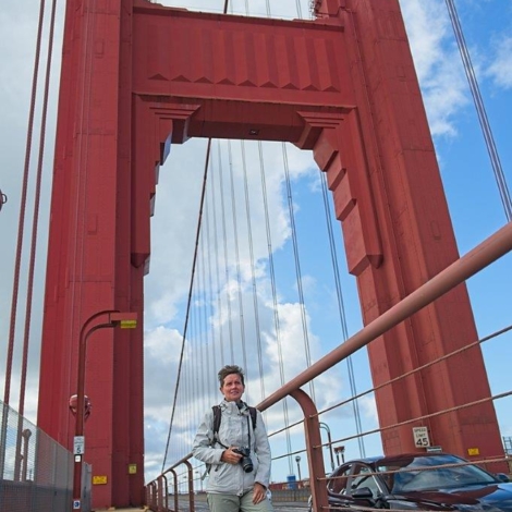
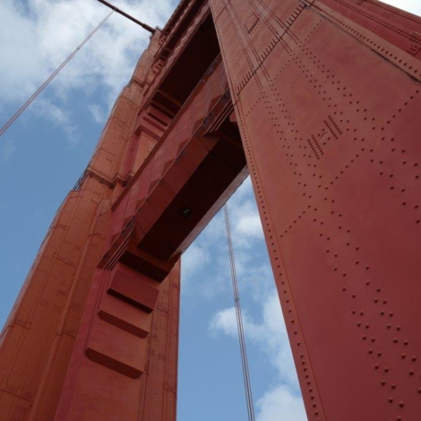
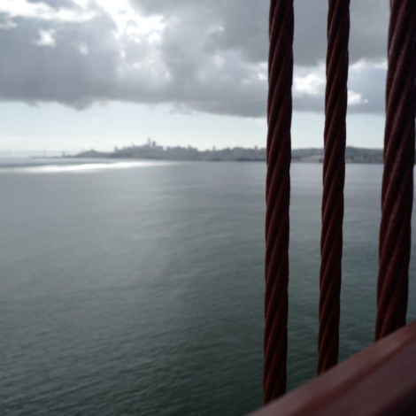
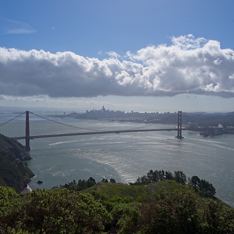
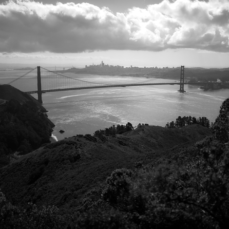
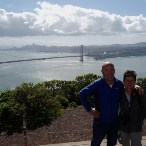
The next day we drove and crossed the Golden Gate Bridge and stopped on the north side at Vista Point. You have a view of the bridge and you can walk on the pedestrian lane on the bridge (watch out for the cyclists in the cycle lane who tend to go at speed!)
The Golden Gate Bridge, San Francisco’s most famous landmark, opened in 1937 after a four-year struggle against relentless winds, fog, rock and treacherous tides. It spans the Golden Gate, the one-mile-wide strait connecting San Francisco Bay and the Pacific Ocean.
After admiring the view we drove to another viewpoint on Hawk Hill, from which you get a better view as you are further away and at an elevation.
[Click on the picture to open gallery]
Car tires problem
As we left the view point Paul noticed that the rear left side tire was worn on side facing below the car and some of the carcass could be seen. This had to be looked at urgently so we drove to the nearest Tire shop at Mill Valley. They had to order it from San Francisco so we spent most of the afternoon in the Library. When we picked up the car they told us the problem was that the car was overloaded and the tire on the right side was showing similar damage. By then it was closing time on Friday and they were closed over the weekend.
We drove on to San Rafael where we found a spot for the night on a large car park near a lake called “The Lagoon”. The bonus was that the toilet block was open all night !!
The next day we drove straight to a big tire shop in town, very busy but they had the right tire in stock. We spend more time in the local library. Libraries are a godsend for us, as most town will have one, with free or cheap internet access, a warm place to catch up on paper work and are a pleasant environment.
We got the car back around 1 pm but were told that they could only do their best with the alignment because of the overloading. We will have to keep an eye on the tires and hope they last until the end of the trip!!
POINT REYES National Seashore
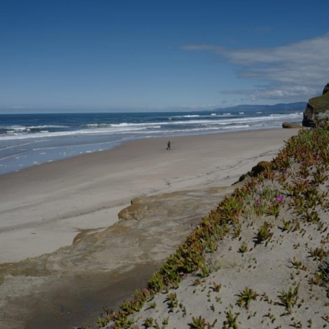
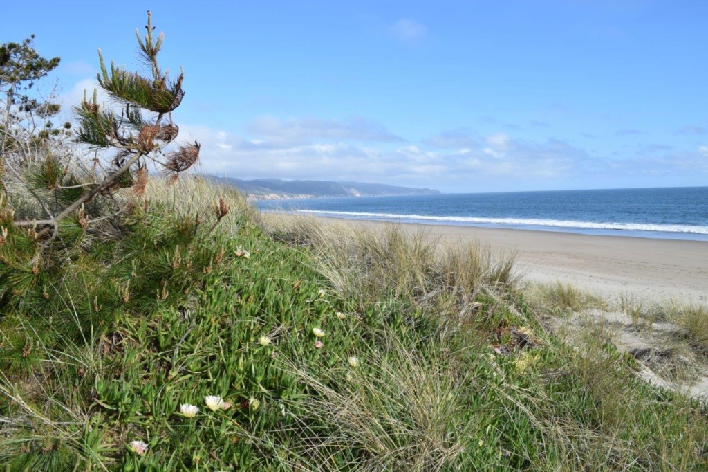
We rejoined the Hwy 1 by the coast and drove up to Bear Valley Visitor Centre. After a late lunch we drove to the Trail head for Limantour Spit. There, we had a walk on the beach. It was sunny but a cold and strong wind meant that the sea was really rough with big rolling surf waves.
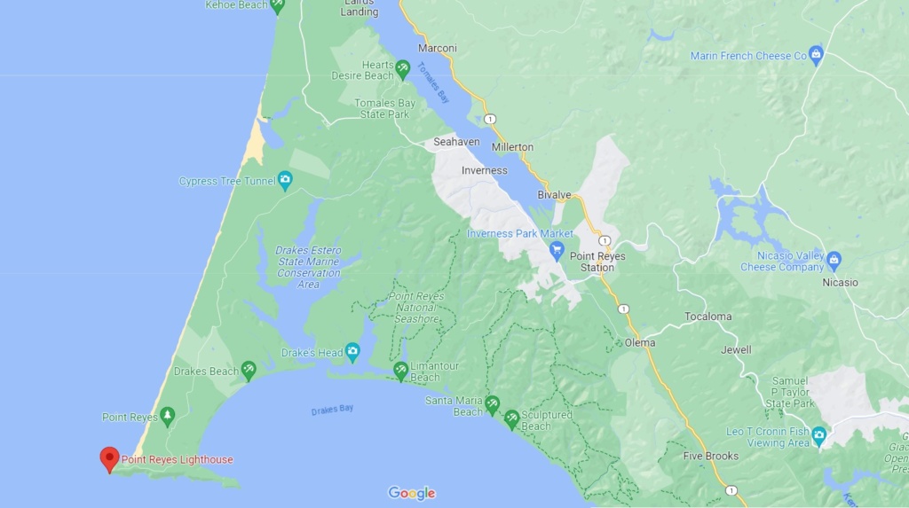
The next day we drove to Point Reyes Lighthouse which stands on Point Reyes Headlands jutting 10 miles (16 km) out to sea and posing a threat to ships traveling between San Francisco Bay and locations to the north. Numerous shipwrecks occurred on these shores, battered by strong winds (forty-mph winds are common, and gusts have been reported as high as 133 mph) and treacherous rocks. The historic Point Reyes Lighthouse was built in 1870 to warn mariners of this navigational hazard and served for 105 years. It was retired from service in 1975 when the U.S. Coast Guard installed an automated light adjacent and below the historic tower.
To access the lighthouse, you have to take a short trail and then get down just over 300 steps! There are information panels along the way and a small museum.
The lens in the Point Reyes Lighthouse is the largest size of Fresnel lens. Augustin Jean Fresnel of France revolutionized optics theories with his new lens design in 1823. Before Fresnel developed this lens, lighthouses used mirrors to reflect light out to sea.
We then drove back to the Estero trail head and did the hike to Drake’s Head
[Click on the picture to open gallery]
The weather was still unsettled and a cold wind made cooking outside rather unpleasant so we booked an AirBnb in Woodlands, near Sacramento.
We stayed there for a week and enjoyed the luxuries of home living ! We spent a day in Sacramento, exploring the old “Historic Downtown” and visiting the Crocker Museum (partially housed in the Crocker family home, who donated their large collections of Roman and Greek antiquities, Asian and African masks, paintings and 18th century china tableware.
