December 28, 2022 – Oliver Lee State Park – Dog Canyon Trail
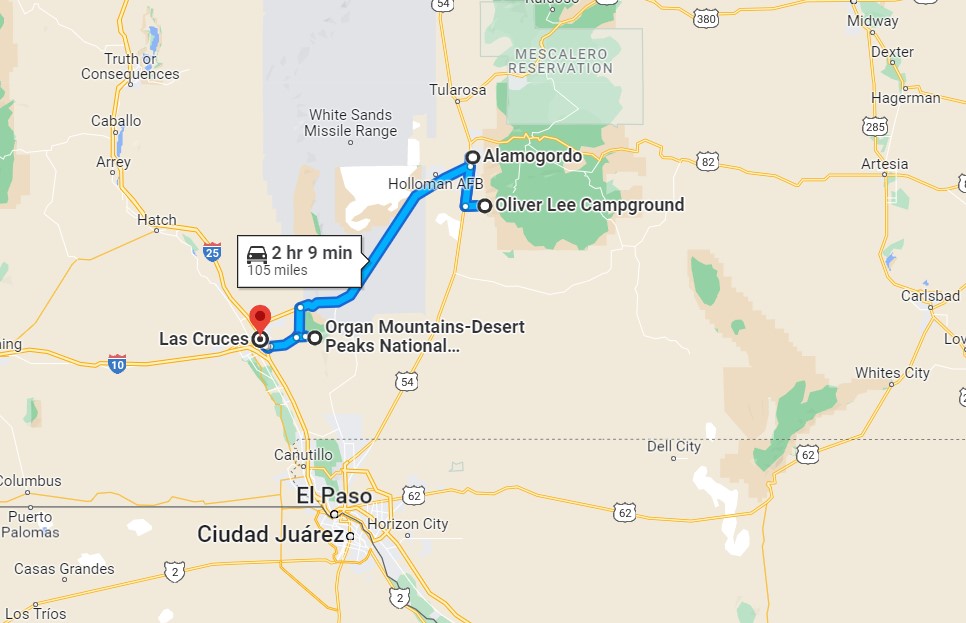
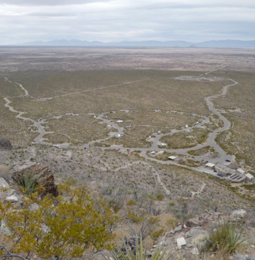
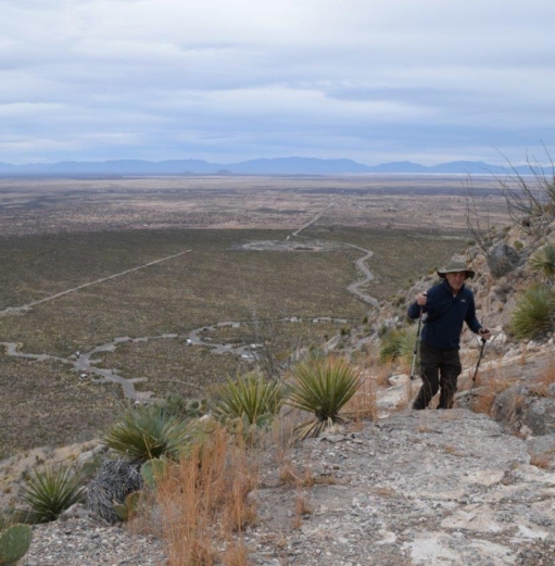
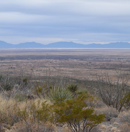
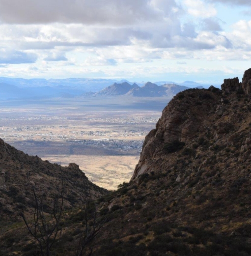
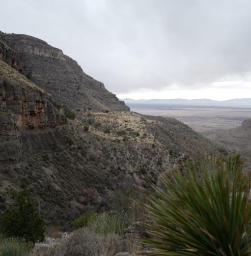
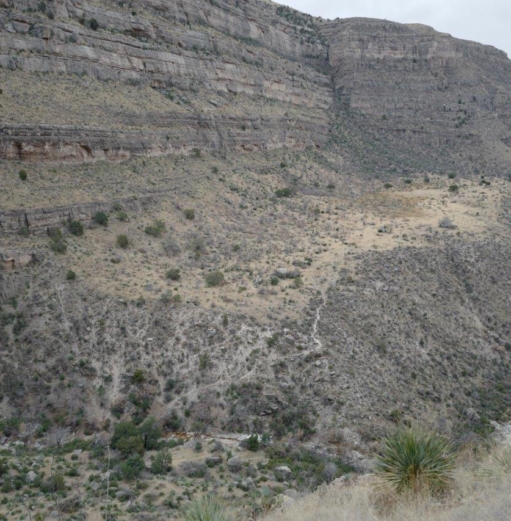
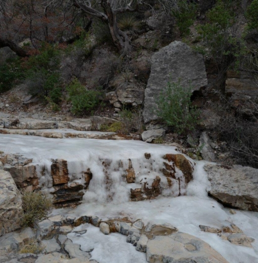
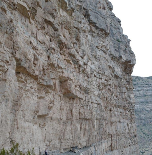
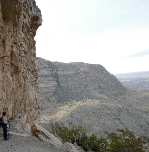
It is grey and overcast this morning but we decide to go for a hike as planned on the DOG CANYON TRAIL.
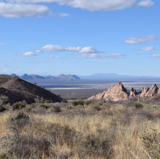
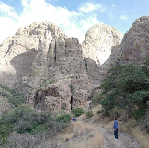
It is a 5 1/2 miles each way with 3000 feet elevation. We do not meet anyone for most of the way. Around 1 pm the sky is turning very dark and the wind is picking up announcing rain. By then we are at the 4 mile marker. We do not want to chance being caught out in the rain and or lightning so we turn back.
[click on the picture to open gallery]
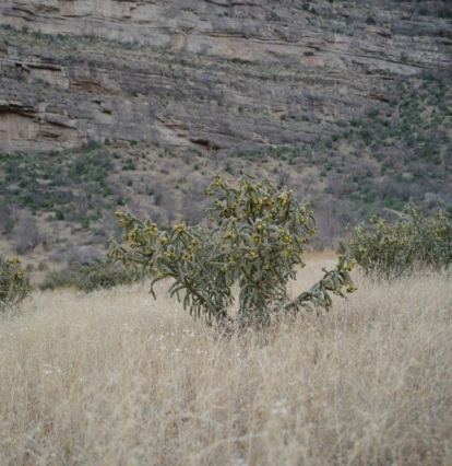
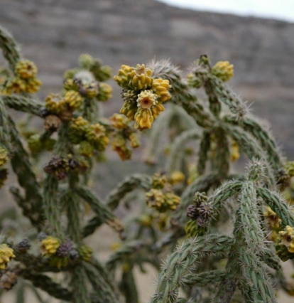
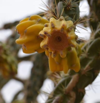
While on the trail, we pass a relatively flat grassy area with lots of Cholla Cacti. There are different kind of Cholla. This one is called Chain fruit Cholla or jumping cholla. First because new fruits are added to those from previous seasons, creating a chain up to 2 feet long and second because the branches are very brittle and attach to whatever brushes against them as if jumping at you!! They can grow up to 4 m tall.
[Click on the picture to open gallery]
December 29, 2022 – Organ Mountains Desert Peaks National Monument
We drive back to Alamogordo to get some supplies and then take the road towards Las Cruces. Our destination is the Organ Mountains – Desert Peaks National Monument. We drive to the Visitor Centre and do a short hike to Dripping Springs.(3 miles).The end of the trail leads to ruins of the 19th century sanatorium and Van Patten’s resort which in their heyday attracted crowds.
[Click on the picture to open gallery]
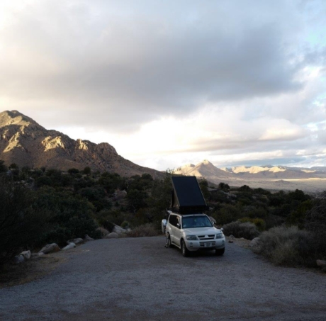
We drive to a Dispersed Campground ( these are normally on BLM land ( Bureau of Land Management)). There are no facilities but you can camp on what is public land.
December 30, 2022 – Organ Mountains National Monument.
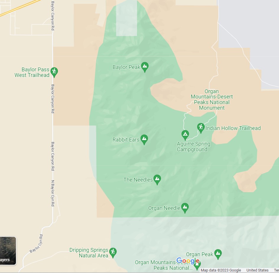
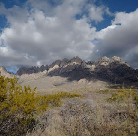
The Organ Mountains – Desert Peaks NM straddles the mountain chain and you have access from both sides. Yesterday we were on the West side, today we drive to the East side and find a spot at the Aguirre Spring Campground.
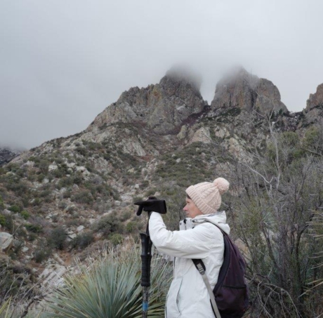
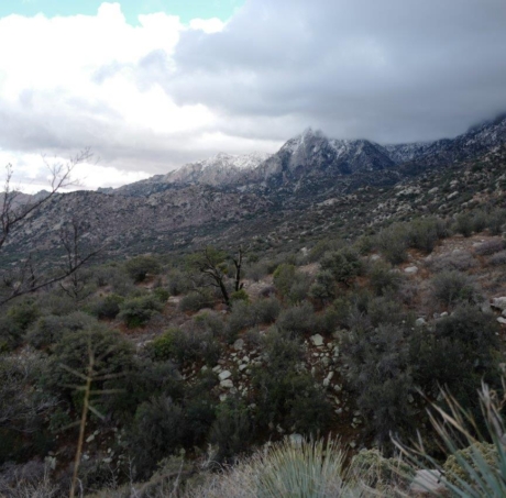
It is cold and clouds cover the peaks. We have lunch then go on a hike on the Baylor Pass trail. From the Campground it is 4 miles return but you can also carry on to get over the pass and back to the Baylor Pass West trailhead (another 7.2 miles return). It is very windy at the Pass and cold ( 1,730 m) and we have no intention to go any further so we get back to our camp. Some of the clouds have cleared up and we can see the peaks from our camp.
[Click on the picture to open gallery]
Another cold night in store ! It snowed on the peaks last night…
