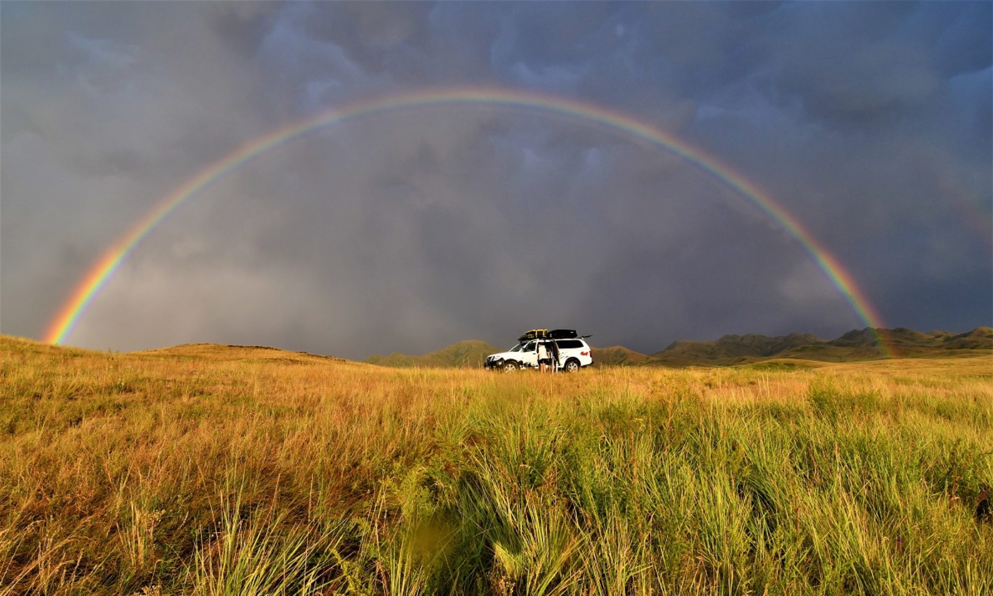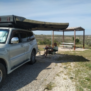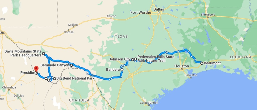
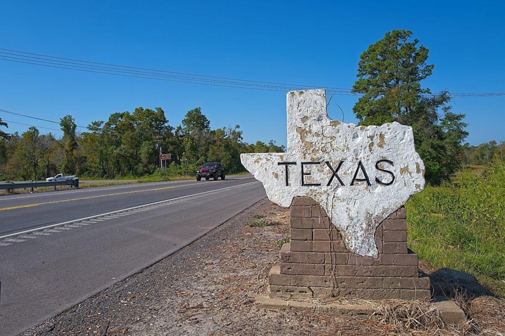
Entered South East Texas at Beaumont and camped in Sam Houston National Forest on the shore of a lake, then on to Pedernales Falls (more pools than falls at this time of year)
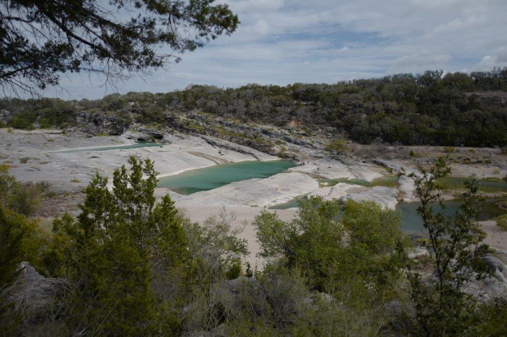
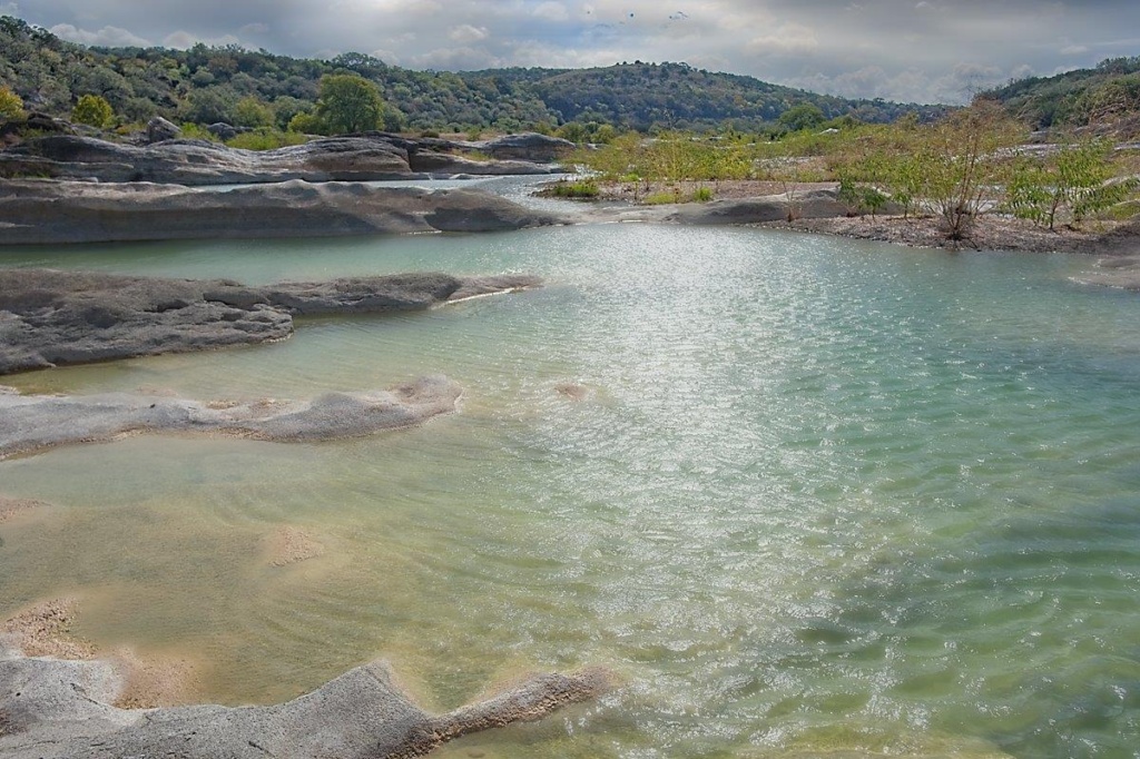
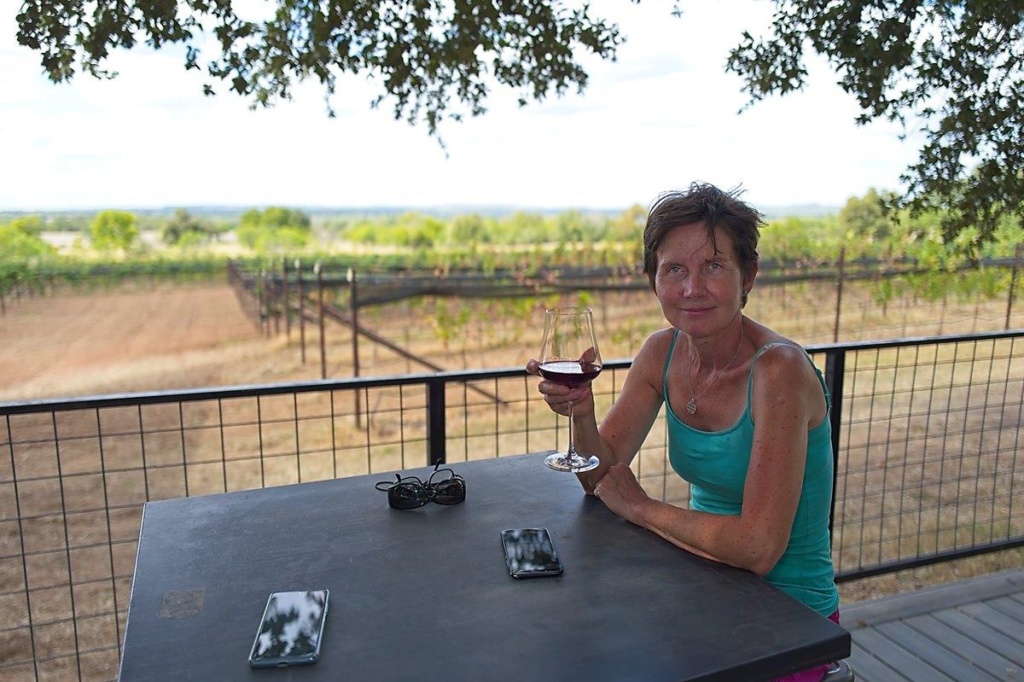
The scenery was greener than I expected and we even drove through vineyards!
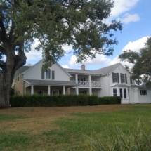
We moved on to Johnson City, hometown of President Lyndon B. Johnson (LBJ). The town is actually named after one of his relative who was one of the first settlers there. LBJ had a humble start in life. In town you can see the house where he lived as a child but the main interest is to visit the LBJ Ranch some km away, also called the Texas White House as during his presidency LBJ made numerous visits there and had his office set up so he could conduct all his duties from his beloved home. ( He built the house on the estate where his grand-parents had lived and where he himself spent his early years).
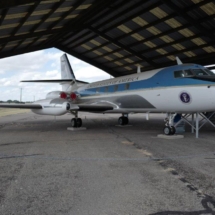
The estate is vast and was, and still is, a working ranch. A runway was built to allow the President to “commute” from Washington and land in his Airforce One-Half plane ( so nicknamed by LBJ himself!)
[click on picture to open gallery]
SEMINOLE CANYON State Park
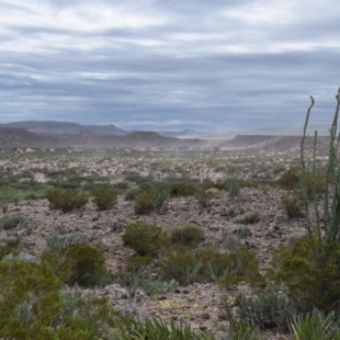
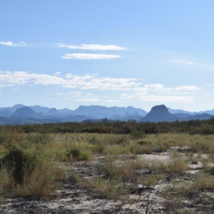
Arrived midday at the campsite and chilled out for a while as hot and no shade. The scenery here is bare and dry, more desert like with small bushes and trees. We are not far from Rio Grande and the railway line (Second Transcontinental Railway line) which first joined California to South West Texas in 1883, thereby uniting West and East coasts.
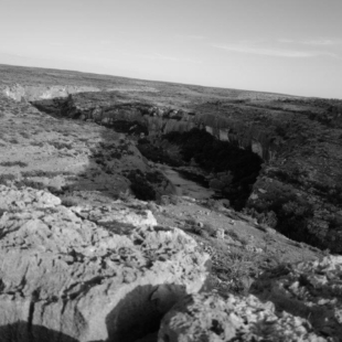
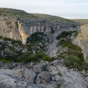
We did a short hike to Presa Canyon Overlook just before nightfall, impressive canyon in the desert. We saw some mountain goats on an escarpment on the other side of the canyon but too far for a clear picture !
DAVIS MOUNTAINS State Park
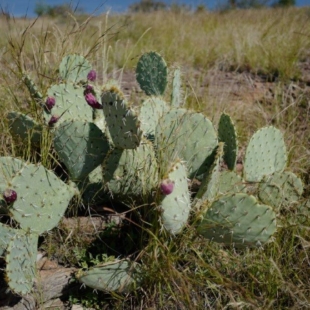
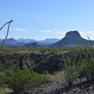
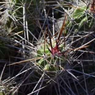
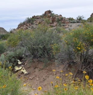
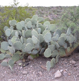
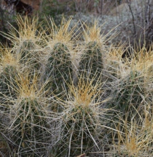
Someone at the previous camp had recommended this Park and as it turned out we could not get a camping spot at Big Bend National Park as this was the week end and all campsites were fully booked, so decided to go for it. Even there , we could only get one night ! State and National Parks are popular at weekends… lesson learned! We did one hike there called Skyline Drive trail. It goes through mixture of forest and desert like areas where cacti are common. The trail offers nice views. You can also drive to the finishing line if so inclined.
[click on picture to open gallery]
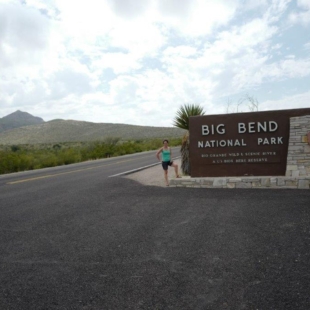
BIG BEND National Park
We managed to get two nights booked at the Chisos Mountains Campgrounds and got there mid- afternoon.
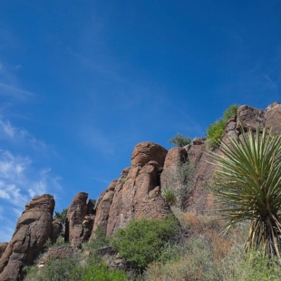
Big Bend National Park is in southwest Texas and includes the entire Chisos mountain range and a large swath of the Chihuahuan Desert. It covers a vast area (1242 square miles or 3243 square kilometers.
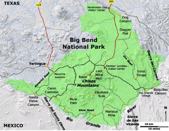
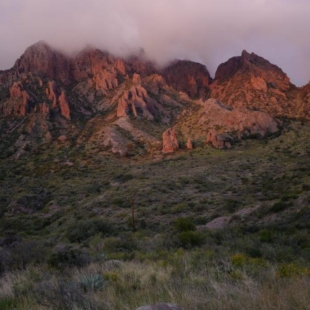
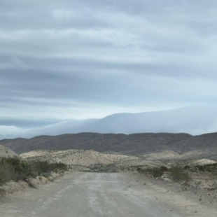
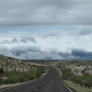
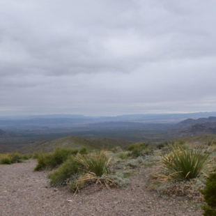
The Chisos Mountains are the highest point in the park and we woke up in the clouds the next morning, just our luck! It rained last night, it is cold and very windy this morning and the forecast is not good for the next two days. Visibility was 10/15m , so no views but thankfully as we took the road down the mountains and towards Rio Grande Village to the east of the park, the weather condition improved.
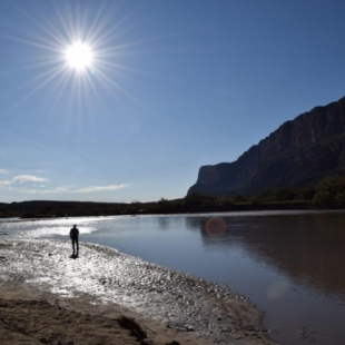
We took a dirt road leading to hot springs accessible from a short trail but due to heavy rain the last few days, the trail was partially closed and we had to be contented with a nice view of the Rio Grande.
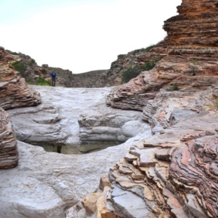
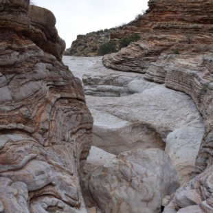
On the way back to camp we took another, longer dirt road (Old Ore Road) leading to the 1/2 mile trail to ERNST TINAJA. This is the mouth of a limestone canyon noted for three things: vibrant orange swirling striations in the rocks, fossils of giant oysters, and the Ernst Tinaja itself – a 13-foot natural rock pool. The word tinaja is Spanish for “large earthen jar” and in Big Bend refers to natural water holes, usually formed by erosion. This was a great place to see and as we had the place to ourselves we enjoyed spending time there. It made up for not being able to do some of the hikes in Chisos.
[click on picture to open gallery]
The next day, the weather was still bad in Chisos. We booked a night at Cottonwood campground near Santa Elena Canyon on the Ross Maxwell Drive, south west side of the park. The Ross Maxwell Drive is one of the most scenic route and there are a few hikes on the way too.
We first drove to the Balanced Rock trail head. This is a 3.2 mile trail with some climbing over rocks but with nice views and rock formations.
We then did the Burro Mesa Pour-off Trail, (3.6 miles) as recommended by the Ranger. The trail is in the desert initially then goes into the dry bed of a river before climbing over rocks and down into a sort of open sky chamber from which the water poured off the side of the canyon with a big drop. Do not look over the edge if you are afraid of heights!
We reached our campground late afternoon. Small but very green and a lot warmer that at Chisos! signs warn you of Javalinas ( a sort of wild pig) which apparently like to raid the camp for food!
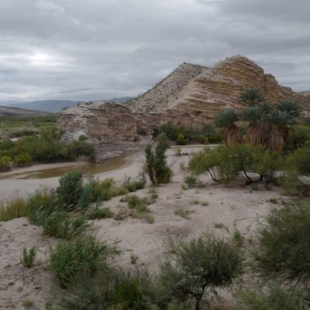
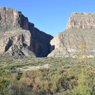
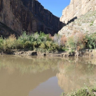
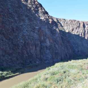
The next day we were off for Santa Elena Canyon, only a few miles away. It is visible for over 10 miles away, as the Rio Grande changes direction abruptly after following beneath the straight Sierra Ponce cliffs for several miles and heads due west, cutting through the mountains via a deep, narrow gorge. This sharp bend in the river was formed by movement along the Terlingua fault zone that crosses the park. For many miles upstream the river is trapped beneath the high walls, eventually emerging into a wider valley at the small town of Lajitas.
We were hoping to be able to enter the canyon on the trail that goes in for 1/2 mile or so but once again, because of heavy rain, the crossing was flooded and we could only have a glimpse from afar!!
[click on picture to open gallery]
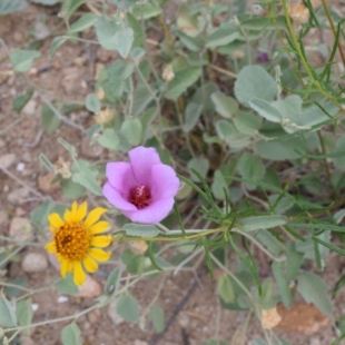
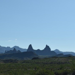
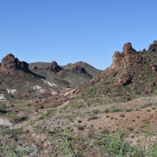
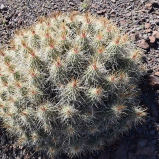
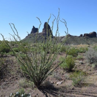
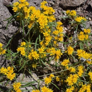
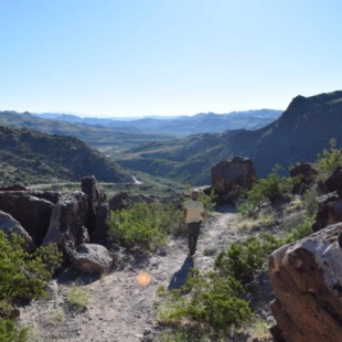
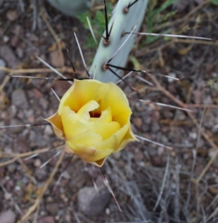
The road to Santa Elena Canyon is a dead end so we had to turn back and take the Ross Maxwell Drive again in the opposite direction. We stopped at Mule Ears View Point and walked to the Mule Ears Spring and carried on the Smokey Creek Trail ( 8 miles). Terrain is a mix of desert, going up and down creeks and crossing areas covered in lava rocks, full of glass like quartz, shining in the sun, all this with a variety of cacti and some wild flowers. This trail affords a closer look to Mule Ears mountain so called because it resembles the top of the head of a donkey.
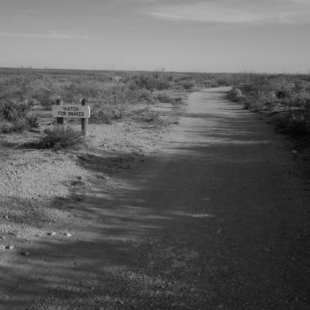
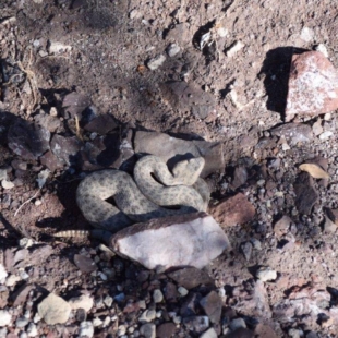
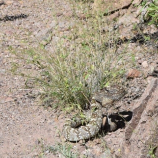
On the way back, I had a close encounter with a rattle snake. I was stopped in my tracks by the rattle sound before I had even seen the snake only 1 meter away or so! Luckily after raising his head in my direction, and as I pulled back, it slowly moved away into bushes. We quickly took a wide birth and moved on….
[click on picture to open gallery]
Big Bend Ranch State Park – Texas
This is the State Park, and is only a few kilometers from the National Park. This is remote country and not much around apart from Lajitas that had a few shops. bought some food (expensive) and then carried on the road which follows the Rio Grande( border with Mexico). Had a look at a Ghost Town (Terlingua) which is gradually coming back to life thanks to tourist shops and activities in nearby Park. It was getting late and needed to find somewhere to stay. The State Park offices were shut but some staff was still around and they pointed us to a campground a few kilometers away (Grassy Banks), right next to the river(lots of flies!). Was fine and only one other camper.
We had a chat with him and he recommended two short trails we could do on the way the next day.
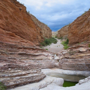
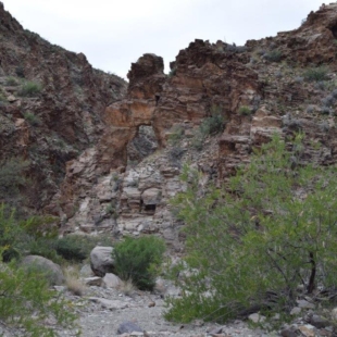
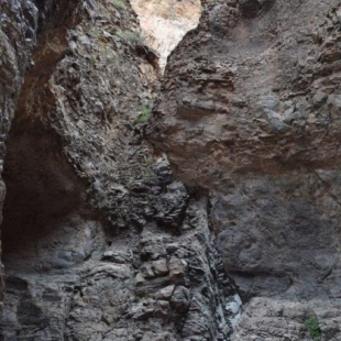
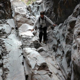
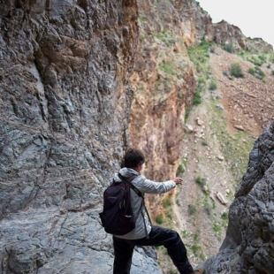
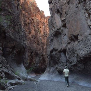
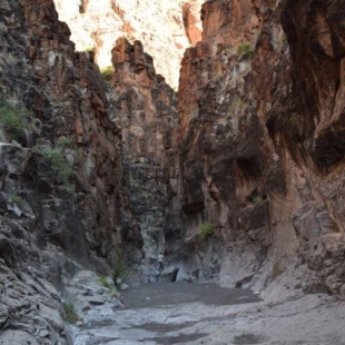
Closed Canyon, a short walk from the road but the Canyon itself is quite impressive , narrow with high walls and about 1 km long
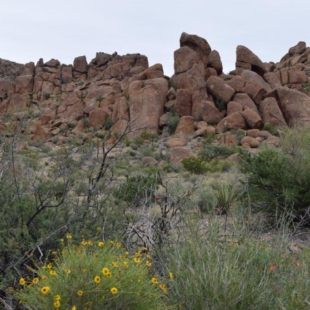
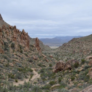
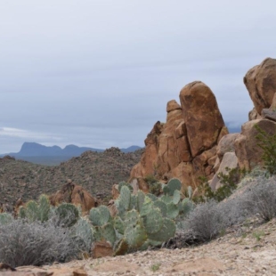
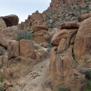
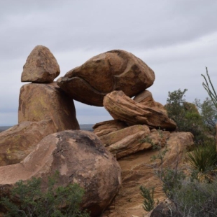
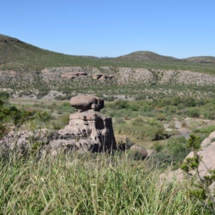
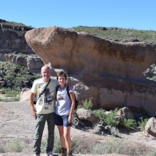
Hoodoos, sort of columns of weathered rock with various shapes and sizes
[click on picture to open gallery]
We got to PRESIDIO around midday and decided to cross into Mexico that day as we had time. You have to cross a bridge over the Rio Grande. We did not see any US border post. We asked two US guards on the bridge about the formalities to be done but they said we did not need a stamp in our passports. Carried on but hope we won’t have any issue if we decide to come back to the US as nothing to prove we left with the car!
On Mexican side, not busy. One officer did the passport control. We had to have some copies done of our docs for the Customs and paid USD 300 in deposit, (to be returned when we leave the country) for the Temporary Import document. ( At least we can show stamps in our passports and copy of the temporary Import into Mexico to US officials if needed!) .
The whole process took just under one hour and we were waved into Mexico !
BIENVENIDOS A MEXICO !
