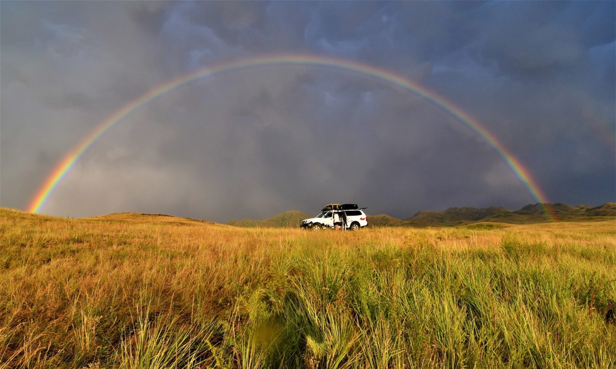
May 23 – May 25, 2023
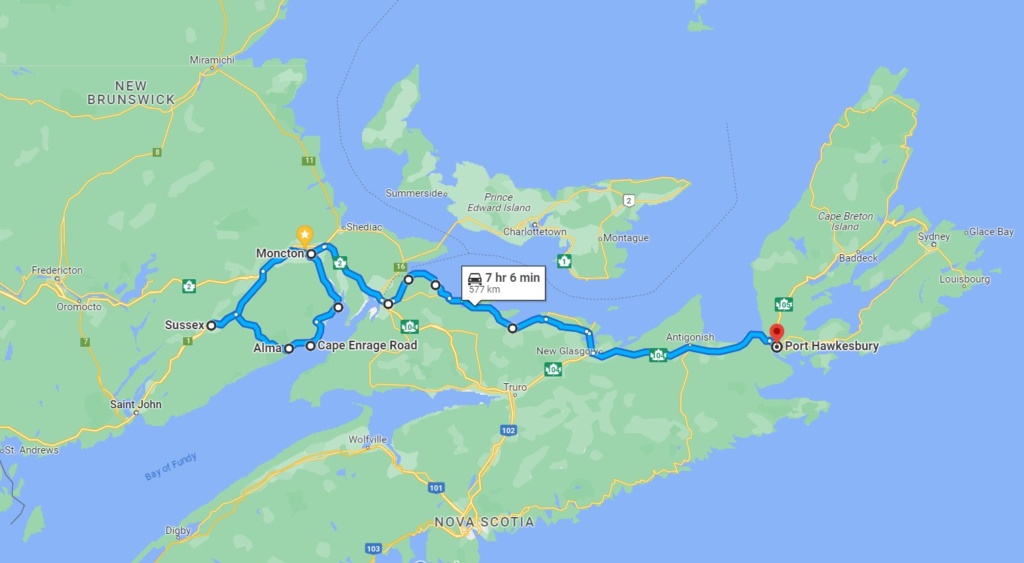
Before going into Nova Scotia we did a small detour to Hopewell Rocks Provincial Park and Cape Enrage.
Hopewell Rocks Provincial Park (NB)
The Hopewell Rocks, also called the Flowerpots Rocks are rock formations known as sea stacks caused by tidal erosion on the shores of the upper reaches of the Bay of Fundy. They stand 40–70 feet (12-20m) tall.
Due to the extreme tidal range of the Bay of Fundy. Sediment-rich waters are a common sight in the Bay of Fundy. With a tidal range up to 12 meters (38 feet), the funnel-shaped bay has the highest observed tides in the world. For comparison, most of the U.S. coast has a tidal range of 1 to 2 meters (3 to 6 feet).
The base of the rock formations are covered in water twice a day. It is possible to view the formations from ground level at low tide and to paddle a sea kayak around the tops of the formations at high tide, the enormous rock formations that once towered over you are now barely peeking out above the surface.


[Click on picture to open gallery]
Cape Enrage and its lighthouse
“The Cape” is a rocky headland jutting seven and a half kilometers out into the uppermost Bay of Fundy. It offers one of the most phenomenal views of the Bay of Fundy, including a unique point of view to experience the world’s highest tides, from atop of its spectacular cliffs.
Cape Enrage gets its name from the fact that the bay-funnelled winds often strike the cape full force, especially when the dominant south-westerly summer winds are at work or certain storm systems track up the bay, plus the fact that a reef extends seaward from the point and causes the surrounding waters to become violent or enraged during maximum tidal currents.
The two factors combined create treacherous waters and a petition to build a lighthouse on the Cape was presented to the government of New Brunswick in 1837 by local merchants and fishermen. The completion and activation of Cape Enrage Lighthouse finally took place in the spring of 1840.
Although Cape Enrage Lighthouse was the eighth lighthouse to be constructed in New Brunswick, it was the first square one, all of the preceding being octagonal in design. Keeper Munson and his family lived in the thirty-nine-foot-tall lighthouse, which employed six lamps and reflectors to produce a fixed white light at a height of 161 feet above the bay.
The lighthouse was struck by lightning in 1876 and today’s lighthouse dates from 1904 and is the third lighthouse on this site. A new duplex was built at Cape Enrage in 1952 to house the families of the two Coast Guard keepers who ran the station. In 1988 the light was automated and the station de-staffed. The Station was saved from demolition in 1992, turned into a restaurant/ shop and houses an outdoor adventure program and a zip line.


[Click on picture to open gallery]
We then drove on to Alma, end of the coastal road so you have to cross the Fundy National Park and continue inland if you want to go further down the coast.
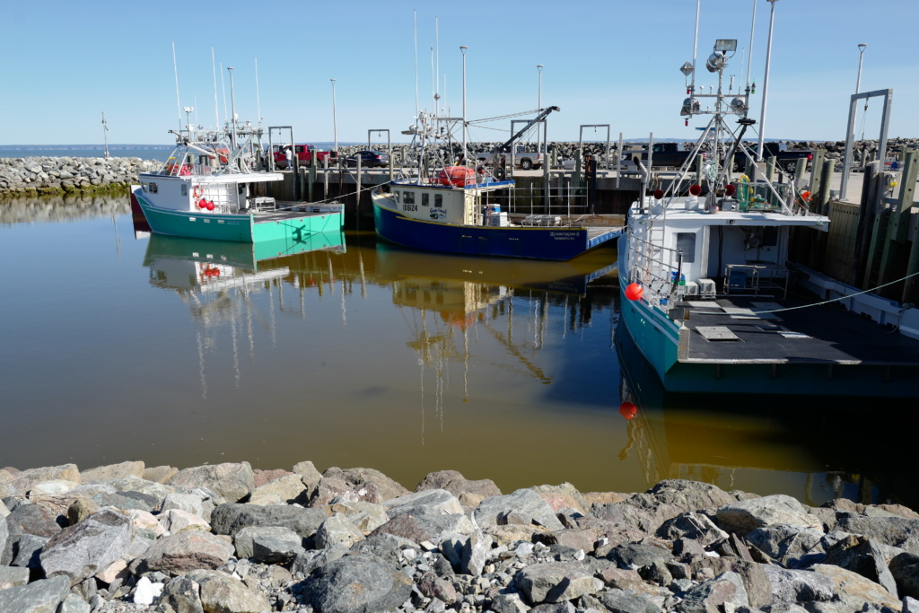
Alma harbour, note the square shape of these boats, designed for lobster fishing.
We stopped at Sussex for the night, and the next day completed our circular detour by going through Moncton again and headed for Amherst in Nova Scotia and the “Sunrise Trail” along the Northumberland Strait coast. This is a popular beach destination as the waters are said to be the warmest in the region!
We went through small fishing villages, where cages are stacked on the quays waiting for the next outing to sea to catch lobsters.
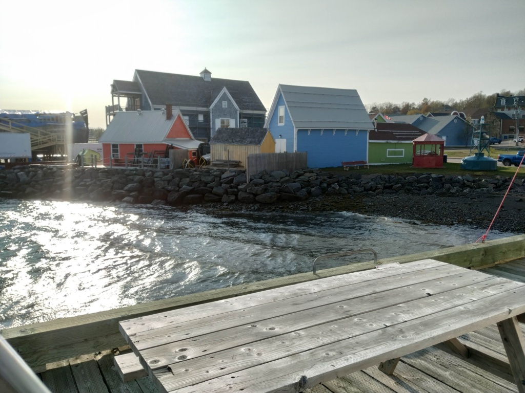
Pictou
This is where the boat “Hector” landed in 1773 with the first Scottish immigrants. A replica of the ship is currently under renovation so we could not visit this landmark. The town itself has a small harbour and a Fishery Museum.
It rained heavily the night we were there. Luckily we had found a covered spot so the tent was kept dry. We spent most of the following day at the local library sheltered from the rain!